Lewistown (also Lewis Town or Lewiston) is an unincorporated community and census-designated place (CDP) in central Washington Township, Logan County, Ohio, United States. As of the 2010 census, the population was 222.
Until the 1829 Treaty of Lewistown, the community was the site of a Shawnee Native American reservation, also called Lewistown, named after Captain John Lewis, a Shawnee leader. Nearby Indian Lake was once known as the Lewistown Reservoir, after this settlement. It has a post office with the ZIP code 43333.
| Name: | Lewistown CDP |
|---|---|
| LSAD Code: | 57 |
| LSAD Description: | CDP (suffix) |
| State: | Ohio |
| County: | Logan County |
| Elevation: | 1,018 ft (310 m) |
| Total Area: | 0.77 sq mi (1.99 km²) |
| Land Area: | 0.77 sq mi (1.99 km²) |
| Water Area: | 0.00 sq mi (0.00 km²) |
| Total Population: | 202 |
| Population Density: | 263.02/sq mi (101.61/km²) |
| ZIP code: | 43333 |
| FIPS code: | 3942966 |
| GNISfeature ID: | 1064991 |
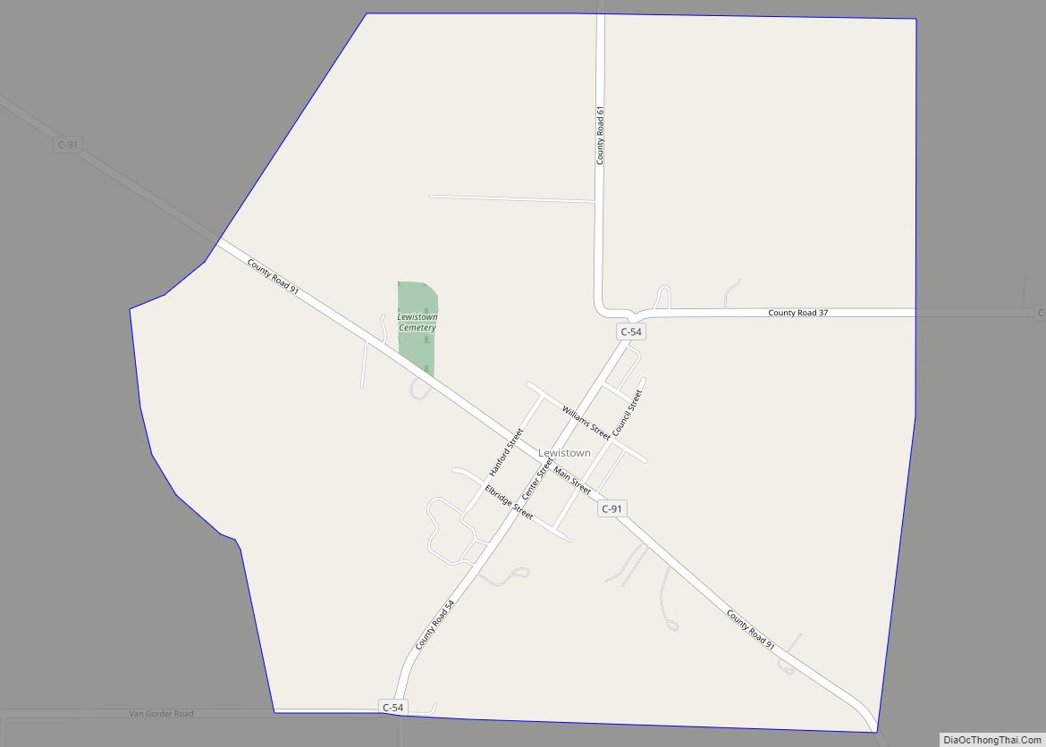
Online Interactive Map
Click on ![]() to view map in "full screen" mode.
to view map in "full screen" mode.
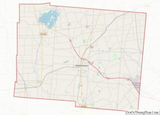
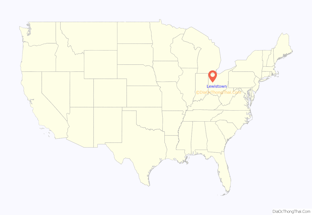
Lewistown location map. Where is Lewistown CDP?
History
Native Americans
The area around Lewistown was populated by several Native American tribes resettled as a result of the Treaty of Fort Meigs. This treaty, signed on September 29, 1817, also provided for the University of Michigan, as well as other grants.
In the 1820s Lewistown was a village primarily inhabited by Seneca and Shawnee people. It was also the eastern point in a reservation for these groups that stretched westward to the headwaters of Loramie Creek.
The Treaty of Lewistown caused the resettlement of about 300 people to “the western side of the Mississippi river”, contiguous to lands reserved in previous treaties to Shawnee, Seneca, and Cherokee.
Euro-American settlers
During the residence of the Indians in Washington Township, as early as 1820, only few white men lived in the area. “They were doubtless squatters, and their stay brief, as no one knows anything of their subsequent history. In the summer of 1832, immediately following the departure of the Indians, a few white families came into the township and began settlement.” One of the first permanent settlers was Henry Hanford, a native of Connecticut. Till 1835 Hanford purchased 825 acres (3.34 km) of land in and around Lewistown.
Daniel Conley, “the pioneer shoemaker in the place” and Hanford’s brother-in-law, built the first frame house in the “village”. Later Henry Hanford opened a general store and became the first postmaster of Lewistown. Mail was delivered once a week. A semiweekly hack line ran from Bellefontaine to Anna Station, via Lewistown. In 1835 a mill was erected, followed by a steam sawmill. In 1840, a “tavern” (actually more of an inn) began operation in the community. A distillery followed in 1862, but was confiscated by the government when it failed to make tax returns. Till 1880 a tannery concluded the industries of the township.
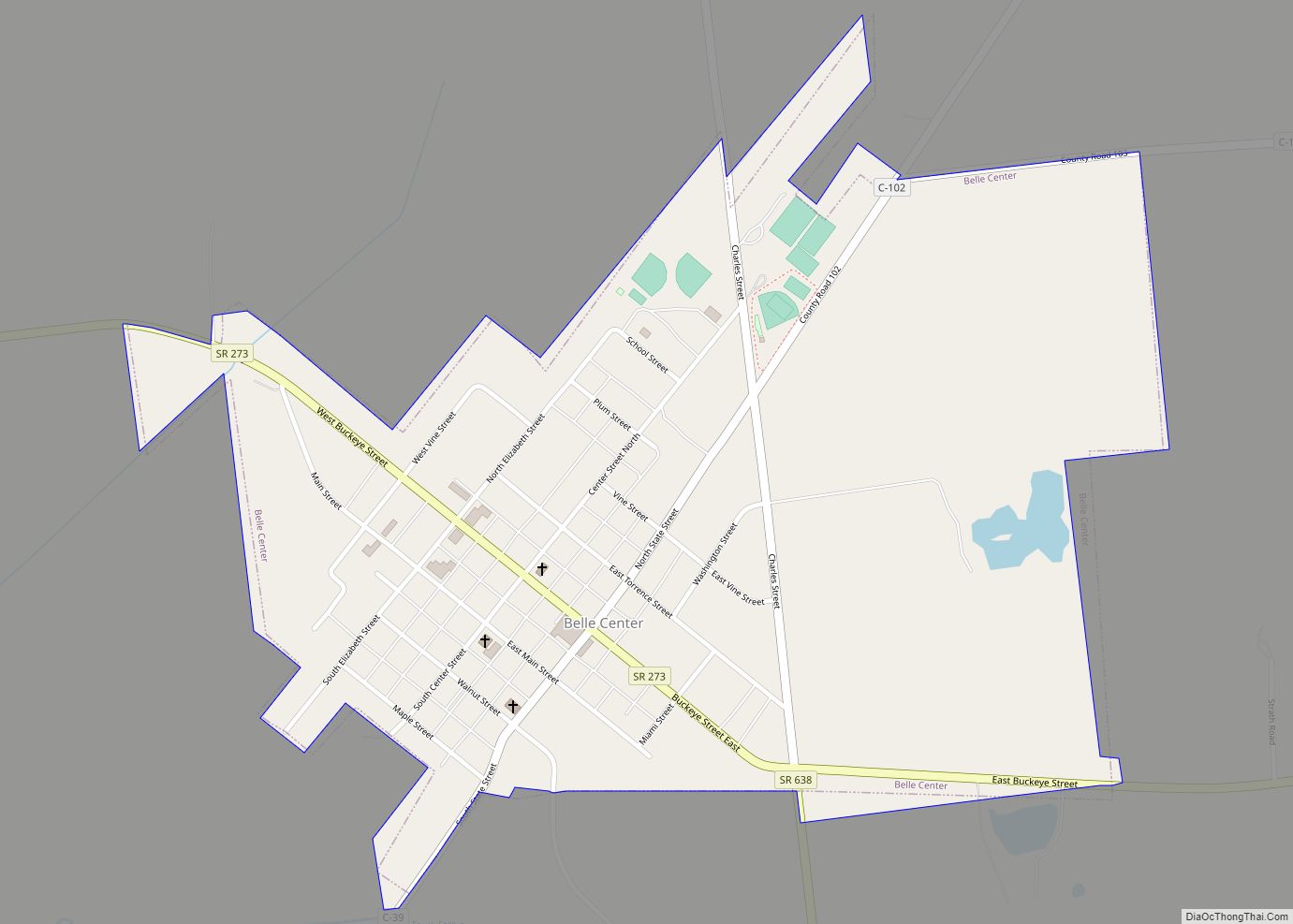
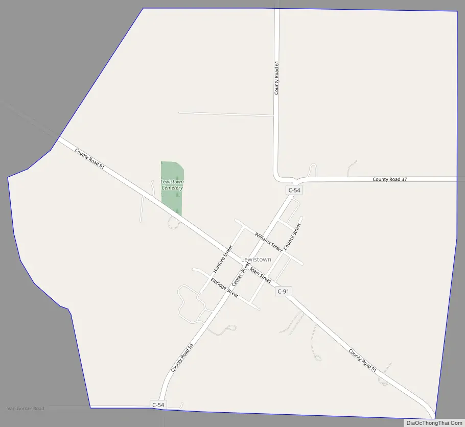
Lewistown Road Map
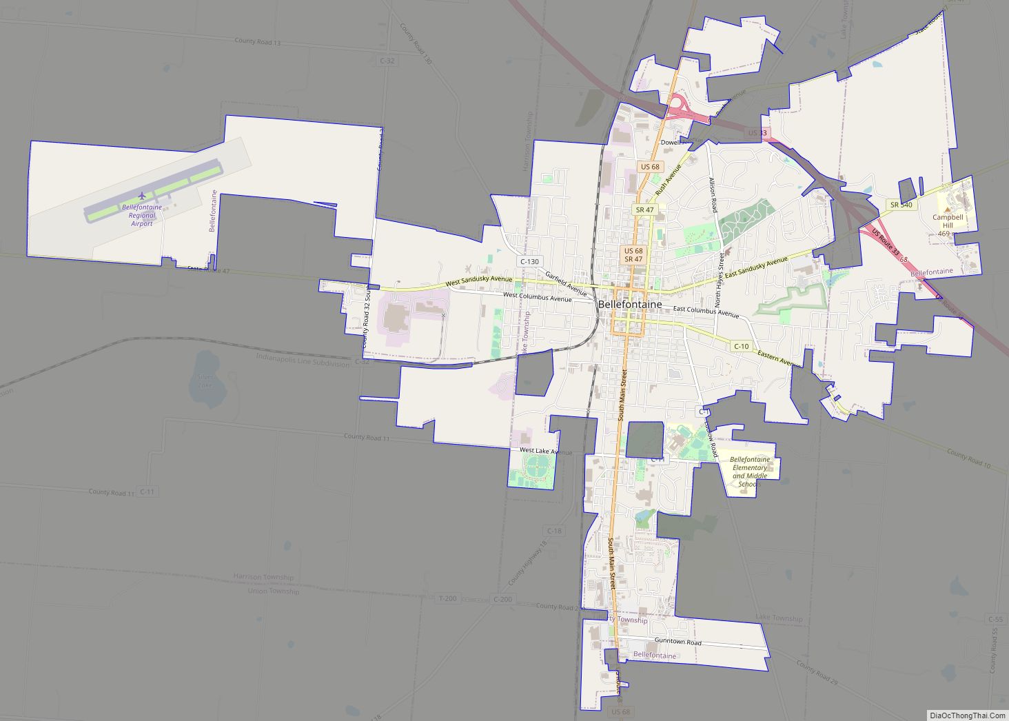
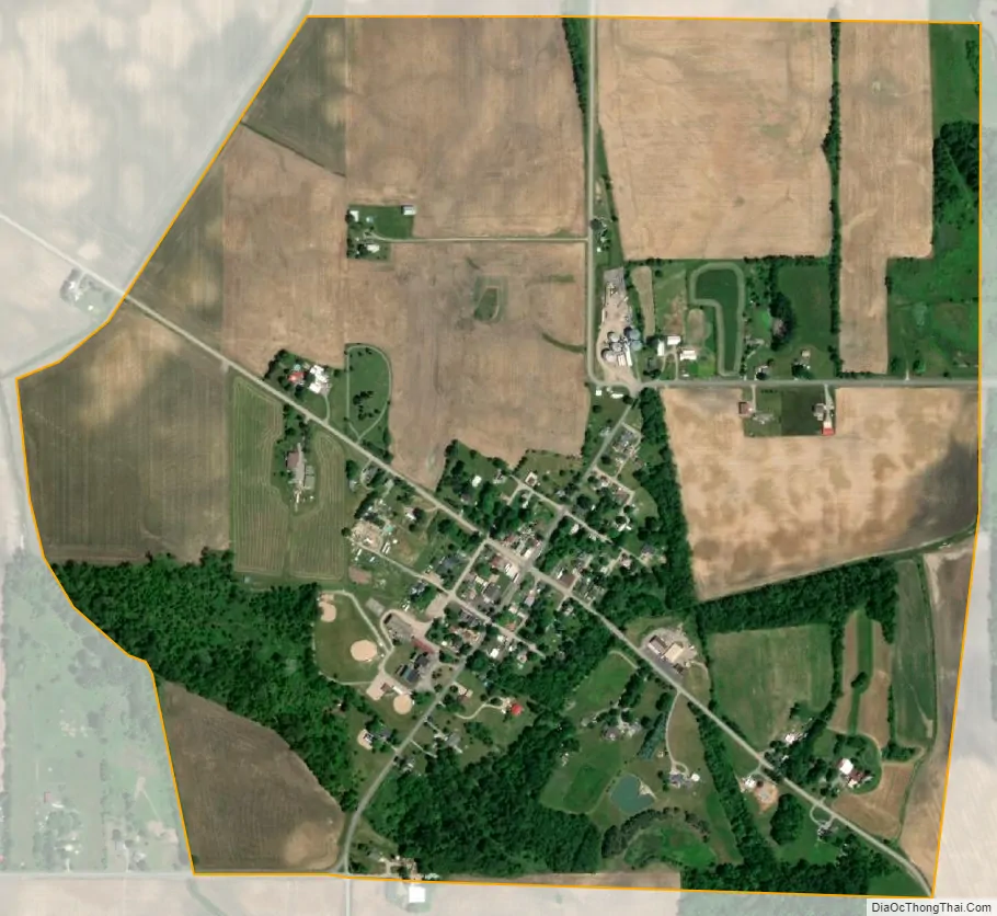
Lewistown city Satellite Map
Geography
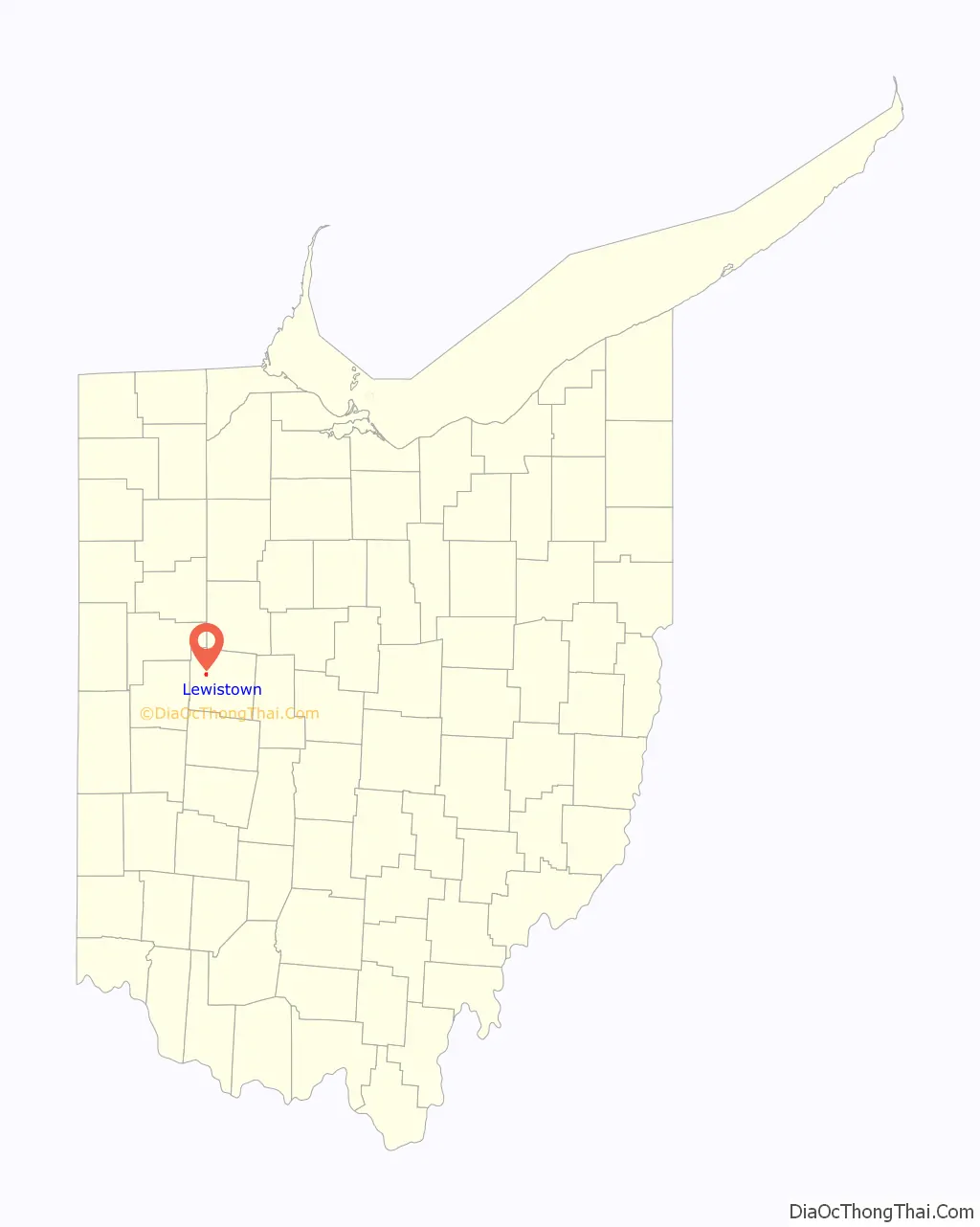
Lewistown is located in northwestern Logan County at 40°25′20″N 83°53′5″W / 40.42222°N 83.88472°W / 40.42222; -83.88472 (40.4222730, -83.8846598), at an altitude of 1,017 feet (310 m).
The community lies at the intersection of County Roads 54 and 91, a short distance south of State Route 274 and a short distance east of State Route 235. It is 4 miles (6 km) south of Russells Point on Indian Lake and 8 miles (13 km) northwest of Bellefontaine, the Logan county seat.
According to the U.S. Census Bureau, the Lewistown CDP has an area of 0.77 square miles (2.0 km), all of it recorded as land. Rennick Creek runs through the southern side of the community, flowing west 1.5 miles (2.4 km) to the Great Miami River.
See also
Map of Ohio State and its subdivision:- Adams
- Allen
- Ashland
- Ashtabula
- Athens
- Auglaize
- Belmont
- Brown
- Butler
- Carroll
- Champaign
- Clark
- Clermont
- Clinton
- Columbiana
- Coshocton
- Crawford
- Cuyahoga
- Darke
- Defiance
- Delaware
- Erie
- Fairfield
- Fayette
- Franklin
- Fulton
- Gallia
- Geauga
- Greene
- Guernsey
- Hamilton
- Hancock
- Hardin
- Harrison
- Henry
- Highland
- Hocking
- Holmes
- Huron
- Jackson
- Jefferson
- Knox
- Lake
- Lake Erie
- Lawrence
- Licking
- Logan
- Lorain
- Lucas
- Madison
- Mahoning
- Marion
- Medina
- Meigs
- Mercer
- Miami
- Monroe
- Montgomery
- Morgan
- Morrow
- Muskingum
- Noble
- Ottawa
- Paulding
- Perry
- Pickaway
- Pike
- Portage
- Preble
- Putnam
- Richland
- Ross
- Sandusky
- Scioto
- Seneca
- Shelby
- Stark
- Summit
- Trumbull
- Tuscarawas
- Union
- Van Wert
- Vinton
- Warren
- Washington
- Wayne
- Williams
- Wood
- Wyandot
- Alabama
- Alaska
- Arizona
- Arkansas
- California
- Colorado
- Connecticut
- Delaware
- District of Columbia
- Florida
- Georgia
- Hawaii
- Idaho
- Illinois
- Indiana
- Iowa
- Kansas
- Kentucky
- Louisiana
- Maine
- Maryland
- Massachusetts
- Michigan
- Minnesota
- Mississippi
- Missouri
- Montana
- Nebraska
- Nevada
- New Hampshire
- New Jersey
- New Mexico
- New York
- North Carolina
- North Dakota
- Ohio
- Oklahoma
- Oregon
- Pennsylvania
- Rhode Island
- South Carolina
- South Dakota
- Tennessee
- Texas
- Utah
- Vermont
- Virginia
- Washington
- West Virginia
- Wisconsin
- Wyoming