Macedonia is a city in northern Summit County, Ohio, United States. The population was 12,168 at the 2020 census. It is a suburb of the Akron metropolitan area.
| Name: | Macedonia city |
|---|---|
| LSAD Code: | 25 |
| LSAD Description: | city (suffix) |
| State: | Ohio |
| County: | Summit County |
| Elevation: | 988 ft (301 m) |
| Total Area: | 9.76 sq mi (25.29 km²) |
| Land Area: | 9.73 sq mi (25.20 km²) |
| Water Area: | 0.03 sq mi (0.09 km²) |
| Total Population: | 12,168 |
| Population Density: | 1,250.57/sq mi (482.87/km²) |
| ZIP code: | 44056 |
| Area code: | 330 |
| FIPS code: | 3945976 |
| GNISfeature ID: | 1061458 |
| Website: | http://www.macedonia.oh.us/ |
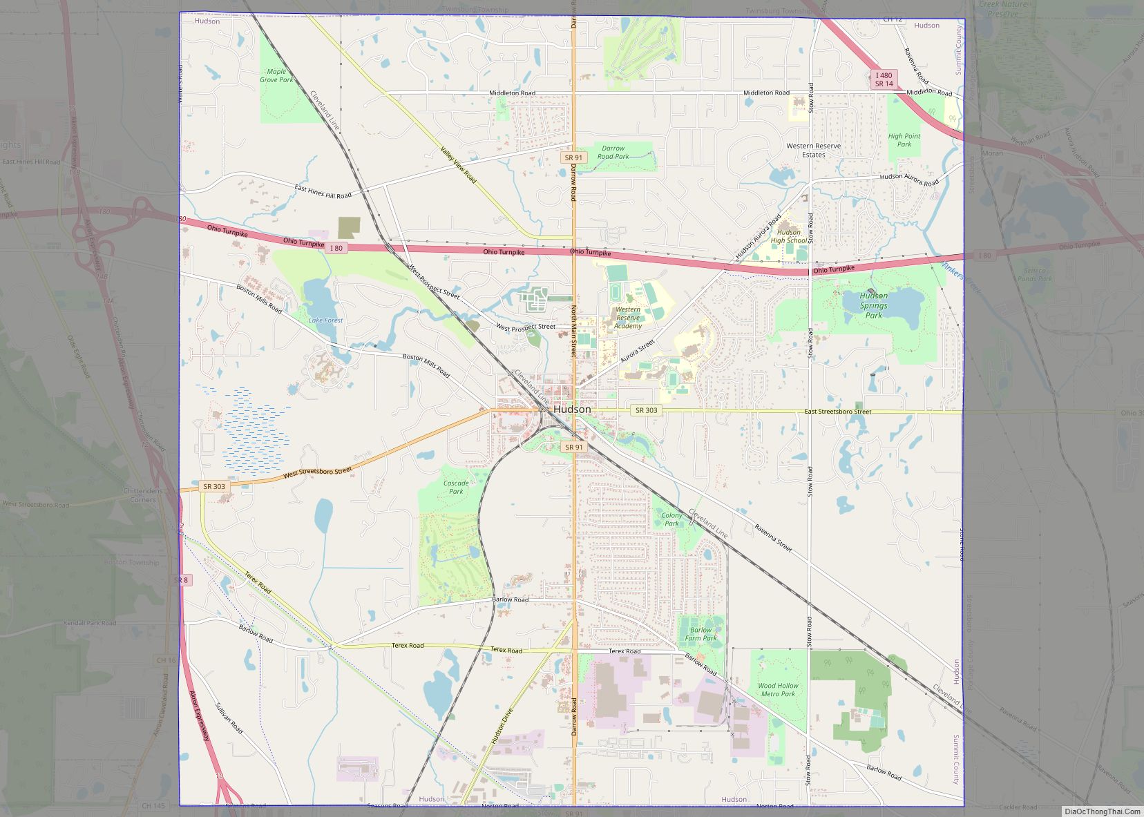
Online Interactive Map
Click on ![]() to view map in "full screen" mode.
to view map in "full screen" mode.
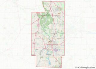
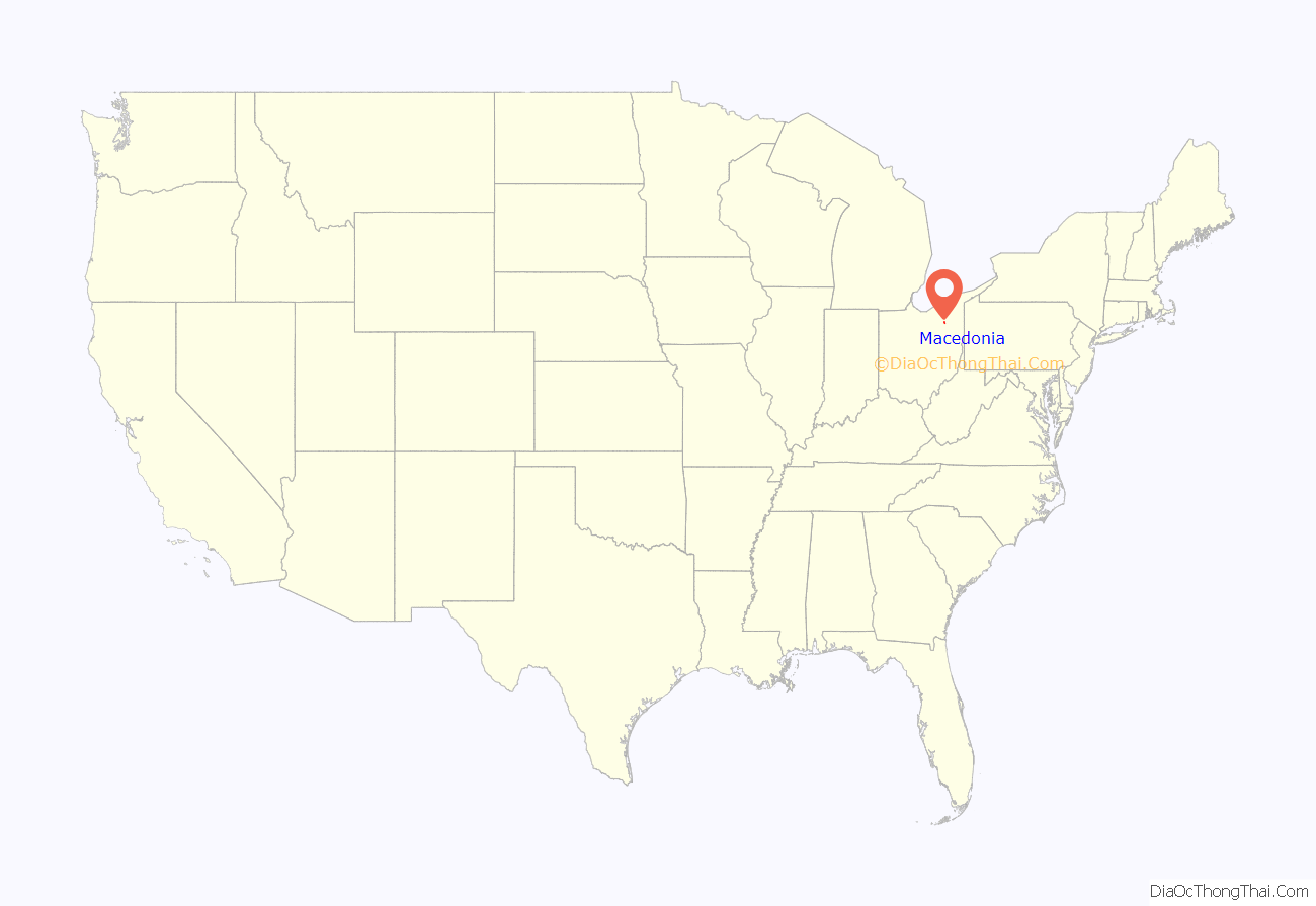
Macedonia location map. Where is Macedonia city?

History
The city’s name is said to derive from a small joke among divinity students at Western Reserve College, which in the early 19th century was in Hudson, Ohio. The students, who were called upon to preach in the small hamlet 6 miles (10 km) to the north, recalled Acts 16:10: “…we sought to go to Macedonia, concluding that the Lord had called us to preach the gospel to them.”
Macedonia Road Map

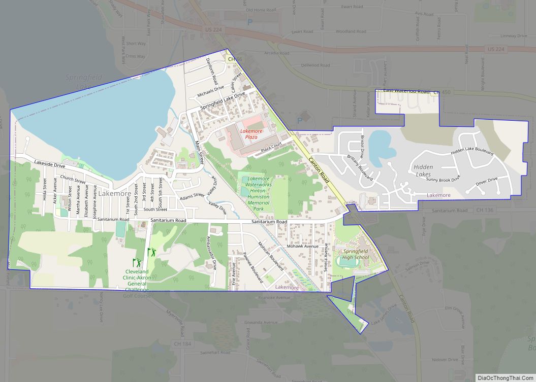
Macedonia city Satellite Map

Geography
Macedonia is located at 41°19′4″N 81°30′5″W / 41.31778°N 81.50139°W / 41.31778; -81.50139 (41.317807, -81.501460).
According to the United States Census Bureau, the city has a total area of 9.75 square miles (25.25 km), including 9.71 square miles (25.15 km) of land and 0.04 square miles (0.10 km) of water.
See also
Map of Ohio State and its subdivision:- Adams
- Allen
- Ashland
- Ashtabula
- Athens
- Auglaize
- Belmont
- Brown
- Butler
- Carroll
- Champaign
- Clark
- Clermont
- Clinton
- Columbiana
- Coshocton
- Crawford
- Cuyahoga
- Darke
- Defiance
- Delaware
- Erie
- Fairfield
- Fayette
- Franklin
- Fulton
- Gallia
- Geauga
- Greene
- Guernsey
- Hamilton
- Hancock
- Hardin
- Harrison
- Henry
- Highland
- Hocking
- Holmes
- Huron
- Jackson
- Jefferson
- Knox
- Lake
- Lake Erie
- Lawrence
- Licking
- Logan
- Lorain
- Lucas
- Madison
- Mahoning
- Marion
- Medina
- Meigs
- Mercer
- Miami
- Monroe
- Montgomery
- Morgan
- Morrow
- Muskingum
- Noble
- Ottawa
- Paulding
- Perry
- Pickaway
- Pike
- Portage
- Preble
- Putnam
- Richland
- Ross
- Sandusky
- Scioto
- Seneca
- Shelby
- Stark
- Summit
- Trumbull
- Tuscarawas
- Union
- Van Wert
- Vinton
- Warren
- Washington
- Wayne
- Williams
- Wood
- Wyandot
- Alabama
- Alaska
- Arizona
- Arkansas
- California
- Colorado
- Connecticut
- Delaware
- District of Columbia
- Florida
- Georgia
- Hawaii
- Idaho
- Illinois
- Indiana
- Iowa
- Kansas
- Kentucky
- Louisiana
- Maine
- Maryland
- Massachusetts
- Michigan
- Minnesota
- Mississippi
- Missouri
- Montana
- Nebraska
- Nevada
- New Hampshire
- New Jersey
- New Mexico
- New York
- North Carolina
- North Dakota
- Ohio
- Oklahoma
- Oregon
- Pennsylvania
- Rhode Island
- South Carolina
- South Dakota
- Tennessee
- Texas
- Utah
- Vermont
- Virginia
- Washington
- West Virginia
- Wisconsin
- Wyoming