Middlefield is a village in Geauga County, Ohio, United States. The population was 2,748 at the 2020 census. It is part of the Cleveland metropolitan area. Middlefield is known for being the center of the world’s fourth largest Amish settlement, and its significant manufacturing base, which includes Gold Key Processing, Inc., Duncan Toys and KraftMaid. Because of its central location, home of the areas’ public schools and prominent business and retail presence, Middlefield village is considered the hub community for Huntsburg, Parkman, and Middlefield Townships.
| Name: | Middlefield village |
|---|---|
| LSAD Code: | 47 |
| LSAD Description: | village (suffix) |
| State: | Ohio |
| County: | Geauga County |
| Founded: | 1799 |
| Elevation: | 1,125 ft (343 m) |
| Total Area: | 3.40 sq mi (8.81 km²) |
| Land Area: | 3.38 sq mi (8.75 km²) |
| Water Area: | 0.02 sq mi (0.06 km²) |
| Total Population: | 2,748 |
| Population Density: | 813.26/sq mi (314.00/km²) |
| ZIP code: | 44062 |
| Area code: | 440 |
| FIPS code: | 3949700 |
| GNISfeature ID: | 1061515 |
| Website: | http://www.middlefieldohio.com |
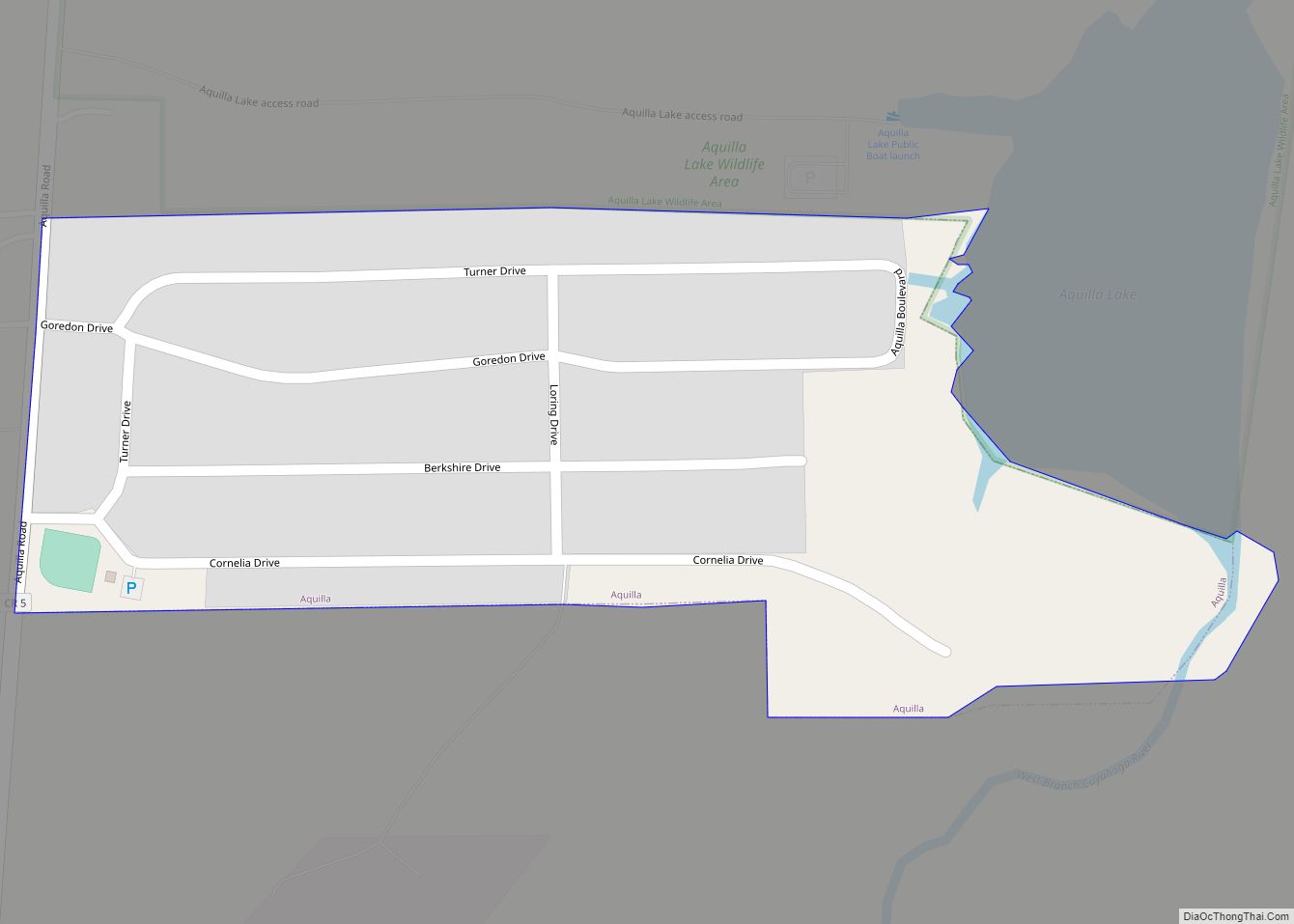
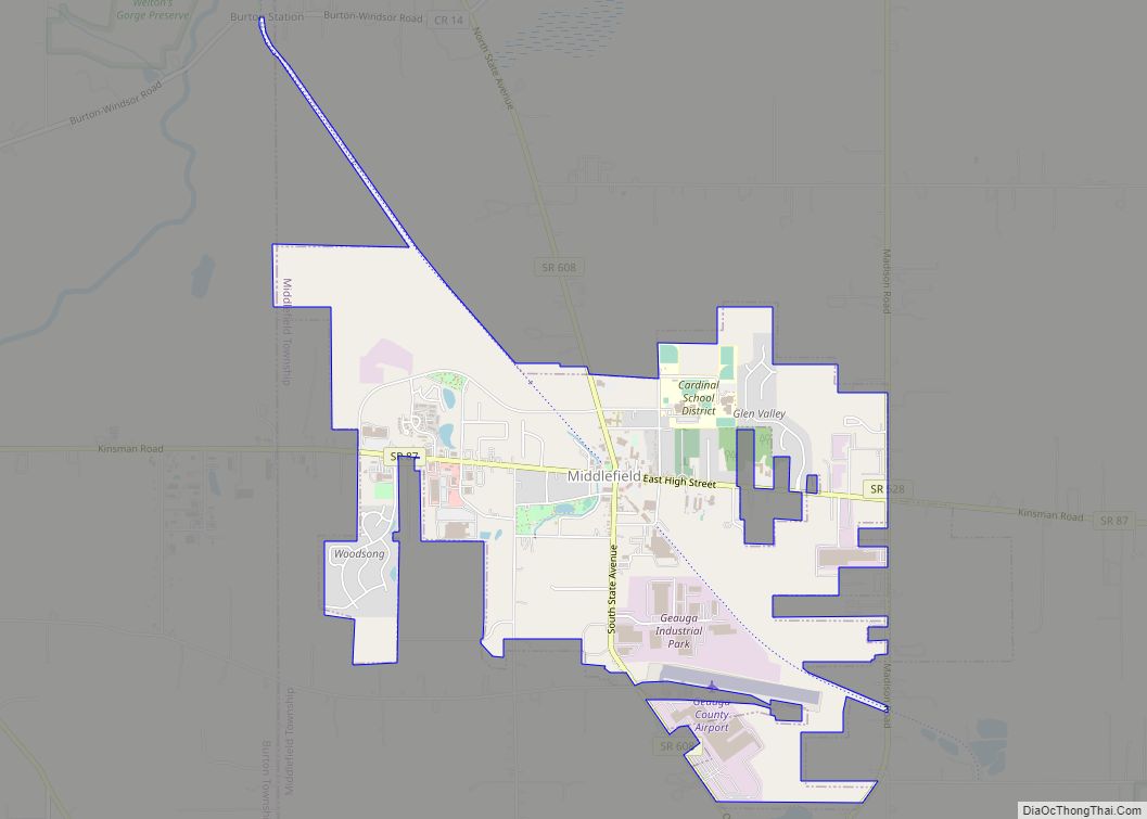
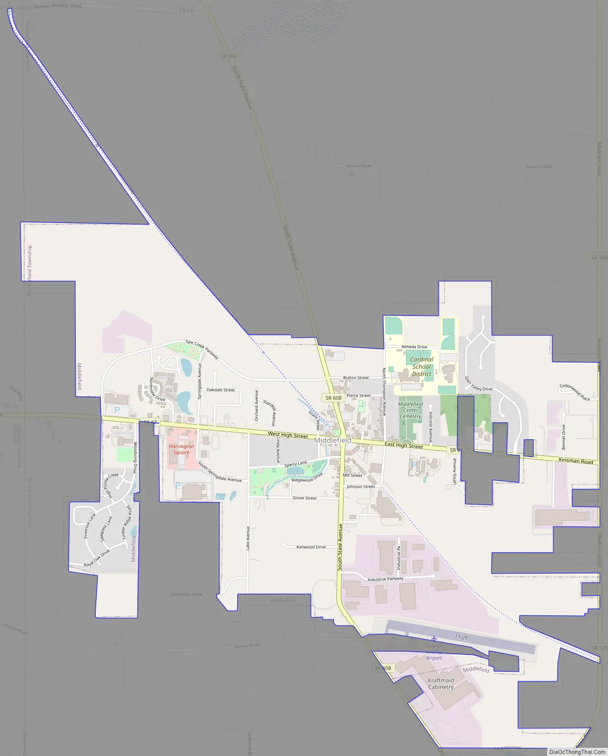
Online Interactive Map
Click on ![]() to view map in "full screen" mode.
to view map in "full screen" mode.
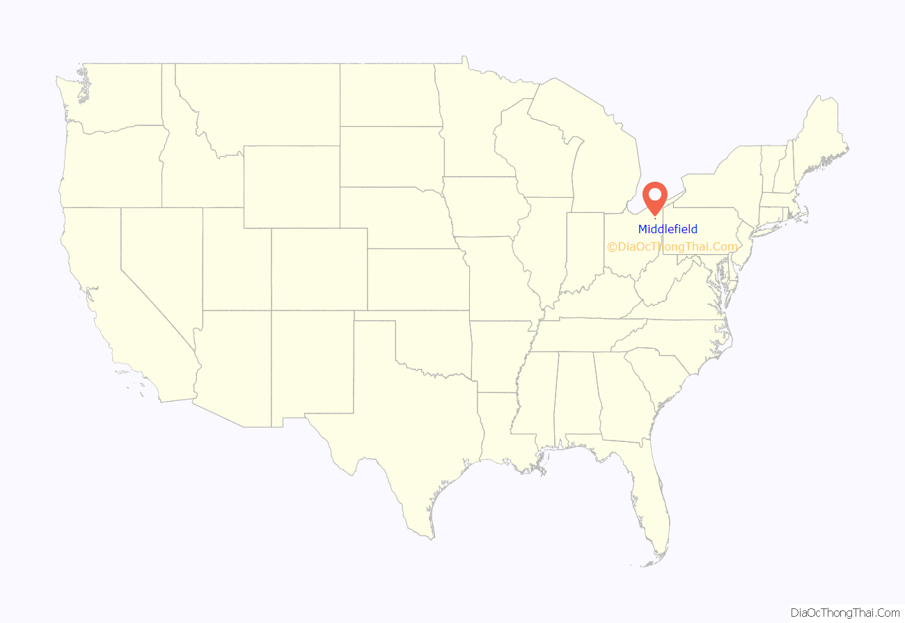
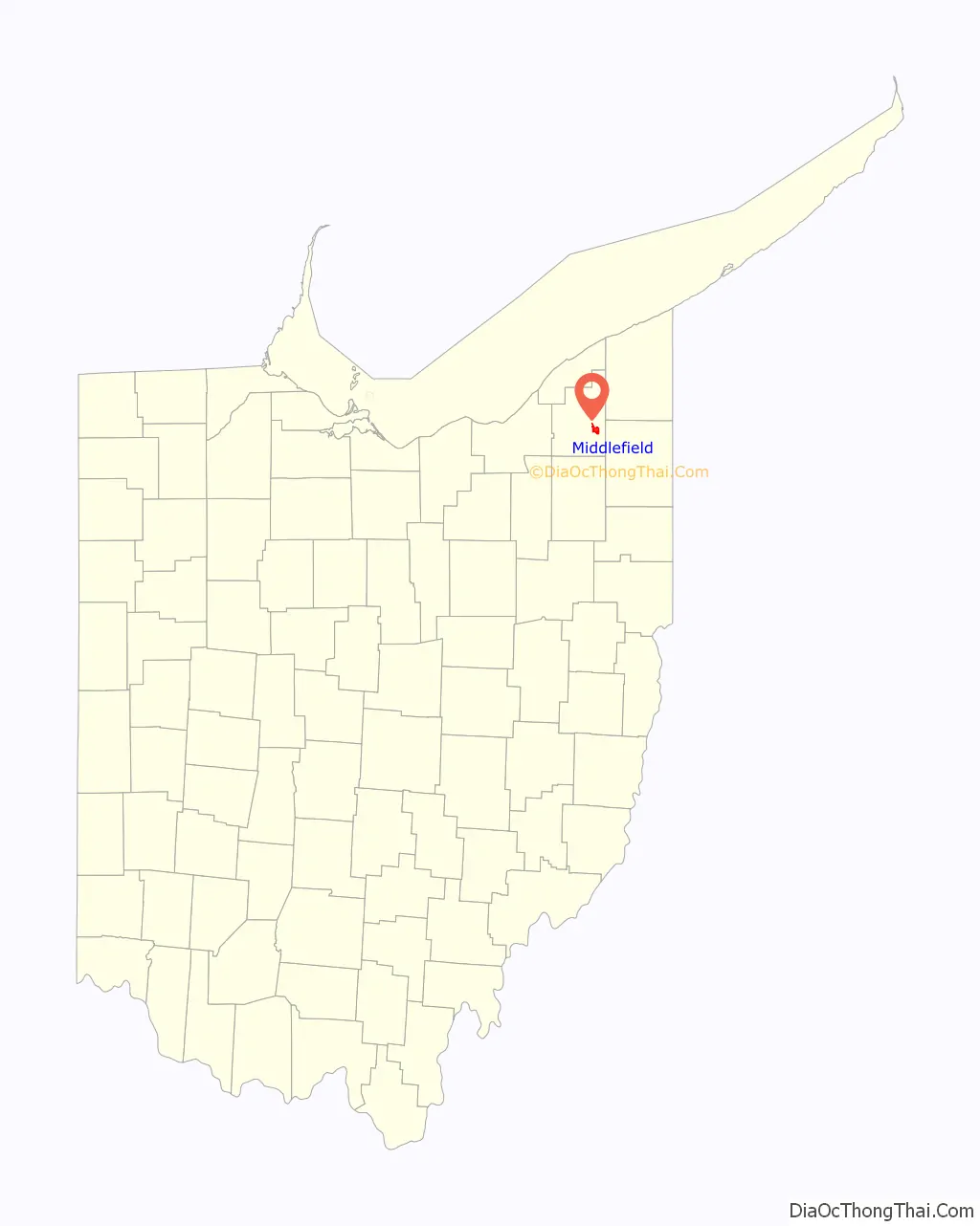
Middlefield location map. Where is Middlefield village?
History
Once named “Batavia,” the village received its current name because it was the midway point between Painesville and Warren. Middlefield was established in 1799 by James Thompson and his father, Isaac Thompson, and incorporated in 1901.
Joseph Johnson settled north of Middlefield on what is now known as Johnson Corners in 1800. In 1818, James Thompson built a hotel. This hotel, later named The Century Inn, is currently the home of the Middlefield Historical Association. The Historical Association operates a small railroad museum in the summers, The Depot, focused on the 1873 narrow gauge railway between Painesville and Warren.
Middlefield’s first manufacturing company was the Johnson Pail Company, founded in 1895.
The Middlefield Library, a branch of the Geauga County Public Library, was opened in 1942.
In 1965, the Ukrainian Scouting Organization, Plast, established its midwestern campground known as “Pysanyj Kamin” occupying over 150 acres at the easternmost end of Shedd Rd in Middlefield Township. Three-week summer camps draw hundreds of Ukrainian American campers from Chicago, Detroit, Cleveland, Philadelphia, Washington D.C., in addition to other North American cities and sometimes Ukraine.
Middlefield realizes more than 80% of its income tax from industrial and commercial business, making this Geauga county’s industrial capital. Businesses serving the area include both large and small entities such as Gold Key Processing, Inc., Good News Newspaper, Karl’s Jewelry, KraftMaid (Masco) Cabinetry, Sajar Plastics, Mary Yoder’s Amish Kitchen, Town Tavern, Middlefield Tavern, Middlefield Banking Company, Middlefield Cheese House, Inc., and Mercury Plastics, Inc.
In 2005, Wal-Mart opened a Supercenter in the village. In order to cater to the local Amish population, the Supercenter has an expanded parking lot that includes 37 hitching posts for Amish buggies, and the store is stocked with blocks of ice and fabrics for clothes to be made at home.
Middlefield Road Map
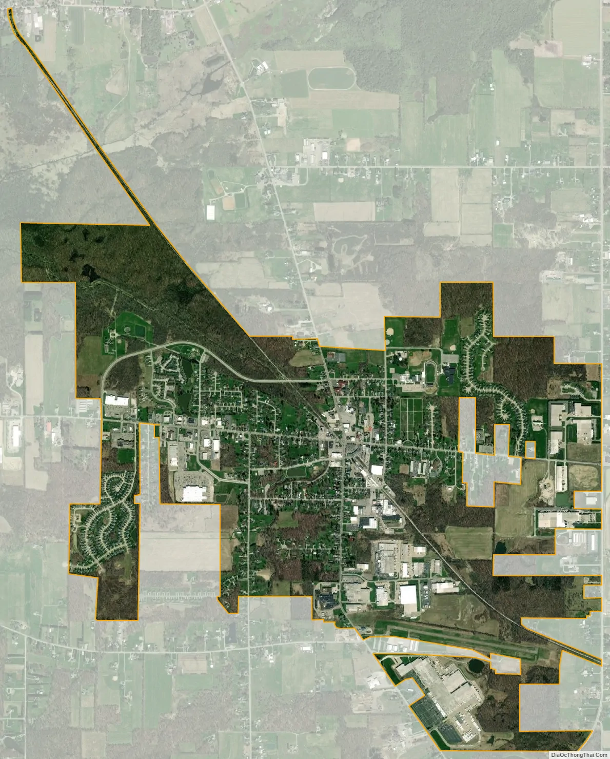
Middlefield city Satellite Map
Geography
According to the United States Census Bureau, the village has a total area of 3.04 square miles (7.87 km), of which 3.02 square miles (7.82 km) is land and 0.02 square miles (0.05 km) is water.
See also
Map of Ohio State and its subdivision:- Adams
- Allen
- Ashland
- Ashtabula
- Athens
- Auglaize
- Belmont
- Brown
- Butler
- Carroll
- Champaign
- Clark
- Clermont
- Clinton
- Columbiana
- Coshocton
- Crawford
- Cuyahoga
- Darke
- Defiance
- Delaware
- Erie
- Fairfield
- Fayette
- Franklin
- Fulton
- Gallia
- Geauga
- Greene
- Guernsey
- Hamilton
- Hancock
- Hardin
- Harrison
- Henry
- Highland
- Hocking
- Holmes
- Huron
- Jackson
- Jefferson
- Knox
- Lake
- Lake Erie
- Lawrence
- Licking
- Logan
- Lorain
- Lucas
- Madison
- Mahoning
- Marion
- Medina
- Meigs
- Mercer
- Miami
- Monroe
- Montgomery
- Morgan
- Morrow
- Muskingum
- Noble
- Ottawa
- Paulding
- Perry
- Pickaway
- Pike
- Portage
- Preble
- Putnam
- Richland
- Ross
- Sandusky
- Scioto
- Seneca
- Shelby
- Stark
- Summit
- Trumbull
- Tuscarawas
- Union
- Van Wert
- Vinton
- Warren
- Washington
- Wayne
- Williams
- Wood
- Wyandot
- Alabama
- Alaska
- Arizona
- Arkansas
- California
- Colorado
- Connecticut
- Delaware
- District of Columbia
- Florida
- Georgia
- Hawaii
- Idaho
- Illinois
- Indiana
- Iowa
- Kansas
- Kentucky
- Louisiana
- Maine
- Maryland
- Massachusetts
- Michigan
- Minnesota
- Mississippi
- Missouri
- Montana
- Nebraska
- Nevada
- New Hampshire
- New Jersey
- New Mexico
- New York
- North Carolina
- North Dakota
- Ohio
- Oklahoma
- Oregon
- Pennsylvania
- Rhode Island
- South Carolina
- South Dakota
- Tennessee
- Texas
- Utah
- Vermont
- Virginia
- Washington
- West Virginia
- Wisconsin
- Wyoming