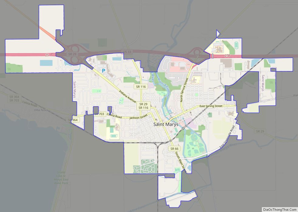
St. Marys is a city in Auglaize County, Ohio, United States. Located in western Ohio, it is 11 miles (18 km) west of Wapakoneta and 20 miles (32 km) east of the Ohio/Indiana border. The city is located on a portage between the St. Marys and Auglaize river systems, which was a significant factor in its development before the era of canals. The population was 8,332 at the 2010 census. It is included in the Wapakoneta, Ohio, Micropolitan Statistical Area. It was founded in 1823 and takes its name from the nearby St. Marys River.
| Name: | St. Marys city |
|---|---|
| LSAD Code: | 25 |
| LSAD Description: | city (suffix) |
| State: | Ohio |
| County: | Auglaize County |
| Elevation: | 866 ft (264 m) |
| Total Area: | 4.70 sq mi (12.17 km²) |
| Land Area: | 4.67 sq mi (12.09 km²) |
| Water Area: | 0.03 sq mi (0.08 km²) |
| Total Population: | 8,397 |
| Population Density: | 1,798.84/sq mi (694.56/km²) |
| ZIP code: | 45885 |
| Area code: | 419 |
| FIPS code: | 3969680 |
| GNISfeature ID: | 1070921 |
| Website: | www.cityofstmarys.net |
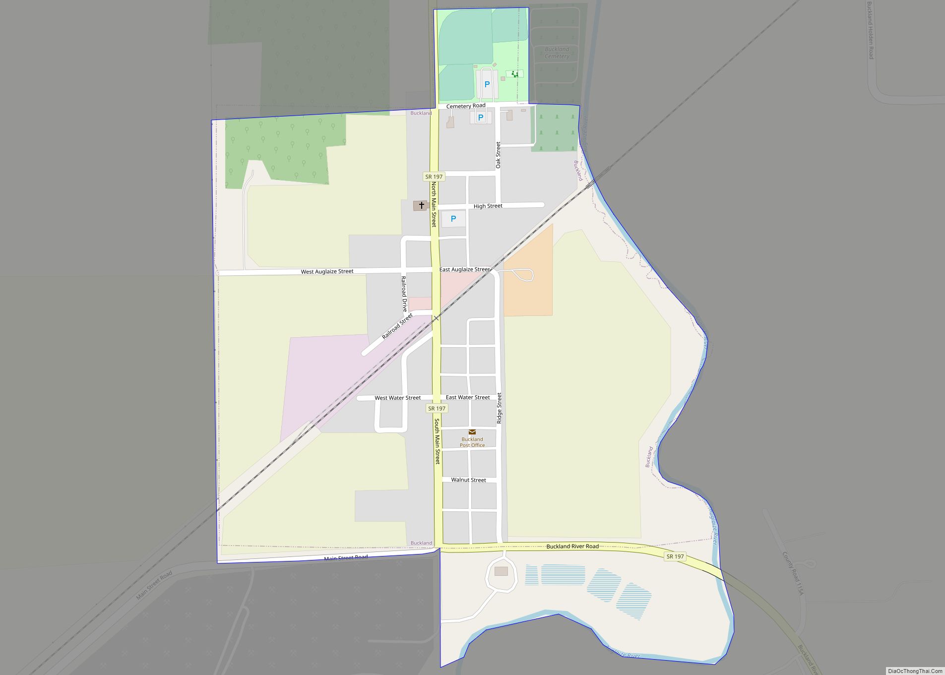
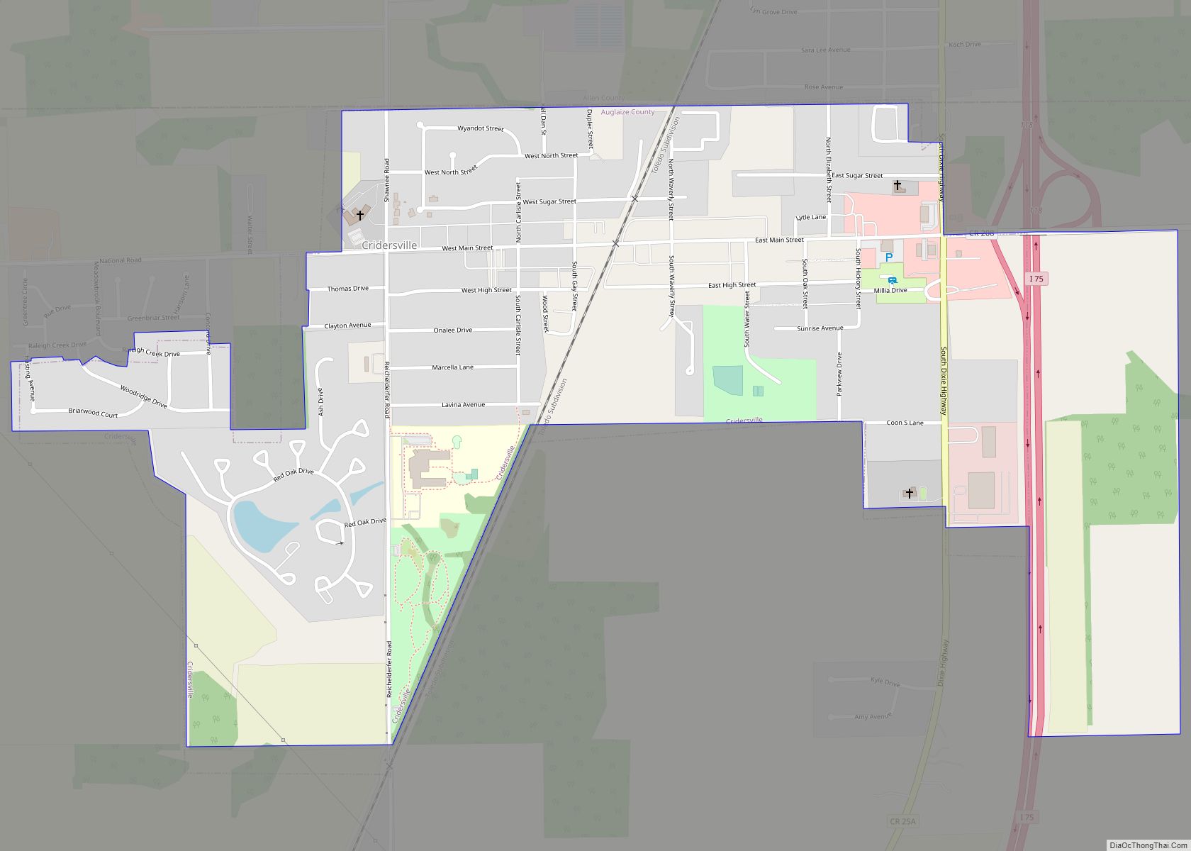
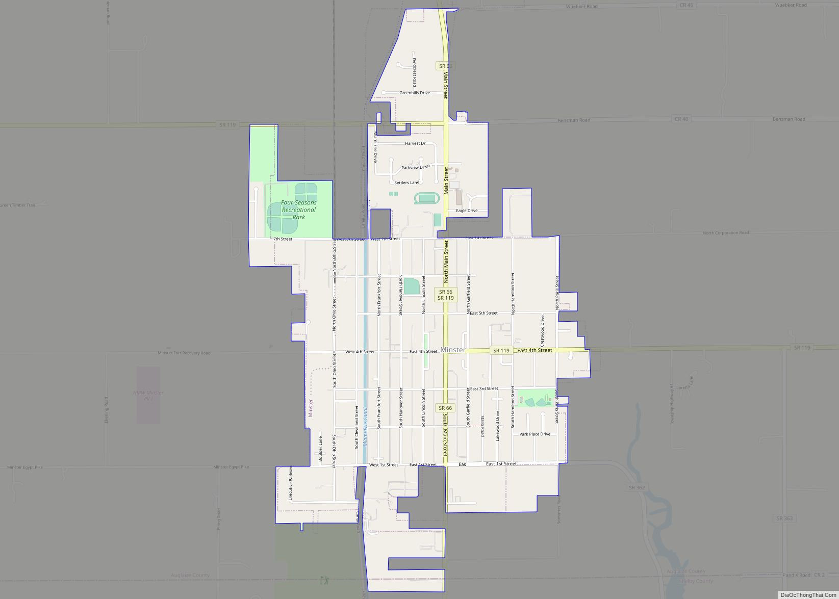
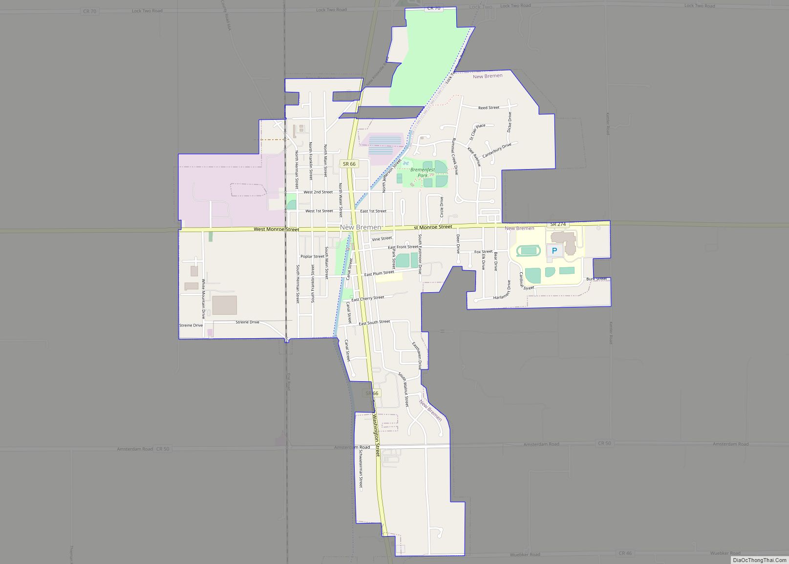
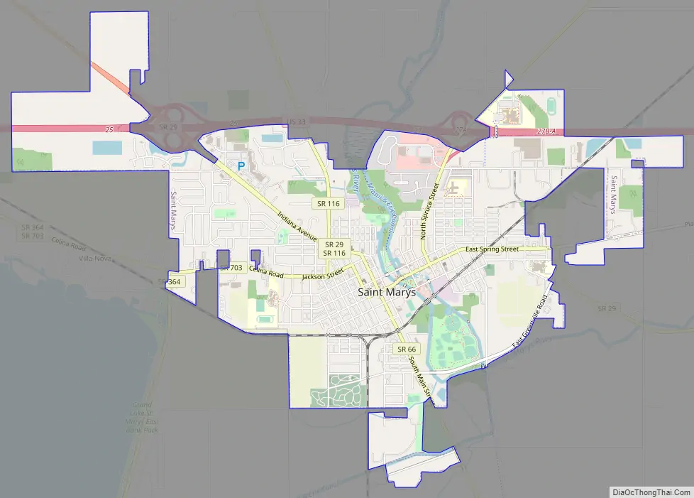
Online Interactive Map
Click on ![]() to view map in "full screen" mode.
to view map in "full screen" mode.
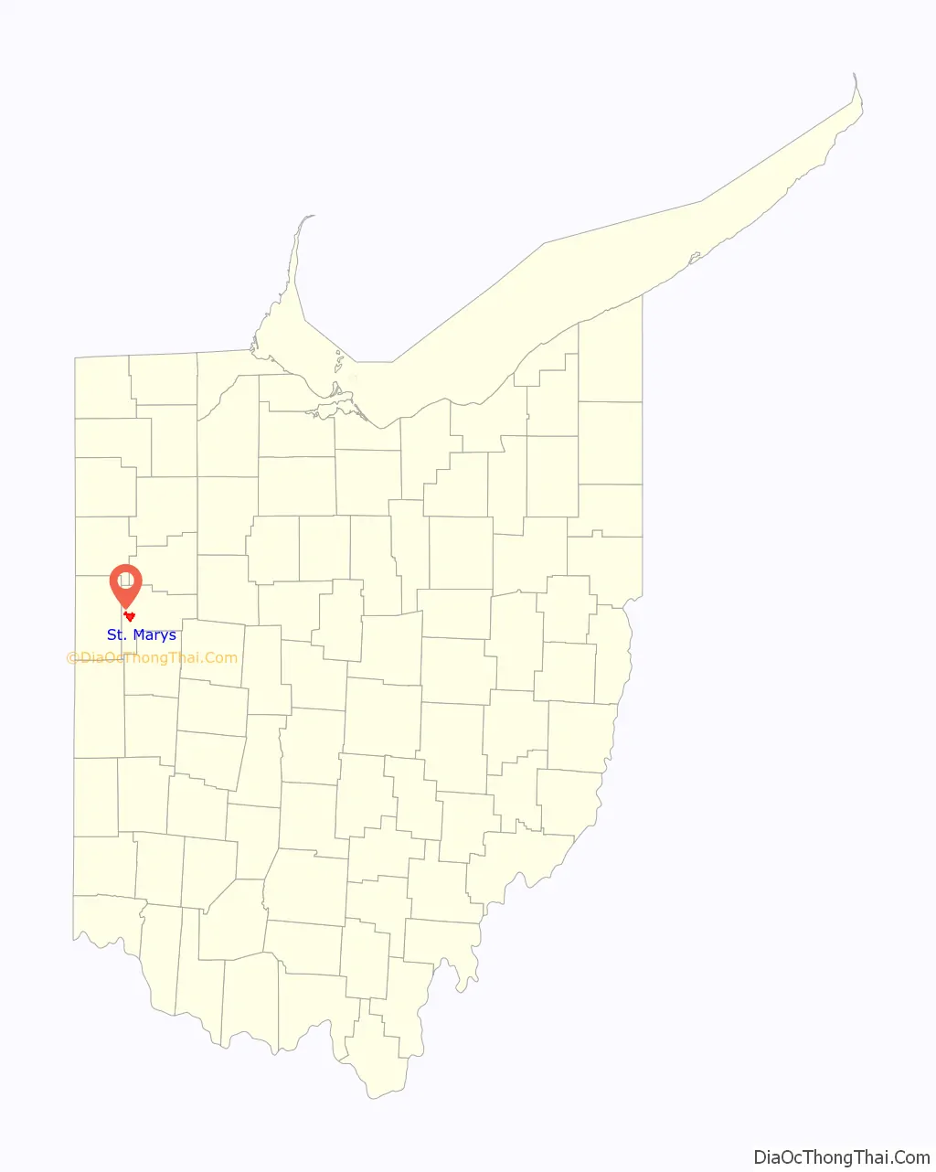
St. Marys location map. Where is St. Marys city?

History
After the Revolutionary War, the Shawnee village on the site became known as Girty’s Town for the Indian traders James and Simon Girty, who had a trading post on the site. James Girty was originally a partner of Peter Loramie, but fled to the St. Marys River when Loramie’s trading post was burned in 1782. Girty maintained his trading post between 1783 and 1790 and fled when General Harmar’s army approached. He later returned to the post. When General Anthony Wayne approached the St. Marys area in 1794, James Girty packed up his goods and fled to Canada, thus ending the Girty Brothers era in Ohio. The village retained the name until the modern town was founded in 1823.
When General Wayne returned through the St. Marys area late in 1794 after the Battle of Fallen Timbers, he found the site deserted but noted its strategic location as a portage between the St. Mary’s River and Auglaize River. He ordered a fort built on the location. Fort St. Mary’s, named for the nearby river, was built by a detachment under Lieutenant John Michael in Oct. 1795 following the Treaty of Greenville. Lieutenant John Whistler was placed in charge of the garrison.
In 1812, Gen. William Henry Harrison found the fort in ruins, and built a fort named Fort Barbee on an adjacent site. Col. Joshua Barbee was placed in charge of the fort.
St. Marys was the site of the signing of the Treaty of St. Mary’s of 1817, and the six treaties comprising Treaty of St. Mary’s of 1818. The latter treaty secured about a third of the state of Indiana from the Miami and Delaware Indians for the United States. The fort was abandoned shortly afterward.
The earliest settlers arrived in 1820. St. Marys was founded by William Houston and John McCorkle, and Charles Murray, in 1823. They bought 400 acres (160 ha) of land and laid out the village of 68 lots. The village was incorporated as a town in 1834 and Judge Stacy Taylor was elected its first mayor. The town surpassed the threshold of 5,000 persons and became a city in 1904.
St. Marys was the county seat of Mercer County from 1824 until 1840 when the seat was moved to Celina. After Auglaize County was organized in 1848, St. Marys competed with Wapakoneta for the position as county seat but was ultimately unsuccessful in a controversial countywide election.
Three properties in St. Marys are listed on the National Register of Historic Places: the former Fountain Hotel, the Dr. Issac Elmer Williams House and Office, and the former Holy Rosary Catholic Church, which was destroyed one year before it was placed on the Register.
St. Marys is a part of the Tree City USA national program.
St. Marys Road Map
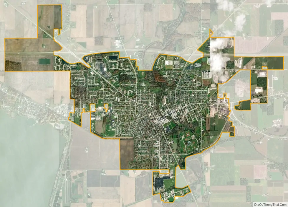
St. Marys city Satellite Map
Geography
St Marys is located at 40°32′39″N 84°23′24″W / 40.54417°N 84.39000°W / 40.54417; -84.39000 (40.544256, -84.390060).
According to the United States Census Bureau, the city has a total area of 4.62 square miles (11.97 km), of which 4.59 square miles (11.89 km) is land and 0.03 square miles (0.08 km) is water.
See also
Map of Ohio State and its subdivision:- Adams
- Allen
- Ashland
- Ashtabula
- Athens
- Auglaize
- Belmont
- Brown
- Butler
- Carroll
- Champaign
- Clark
- Clermont
- Clinton
- Columbiana
- Coshocton
- Crawford
- Cuyahoga
- Darke
- Defiance
- Delaware
- Erie
- Fairfield
- Fayette
- Franklin
- Fulton
- Gallia
- Geauga
- Greene
- Guernsey
- Hamilton
- Hancock
- Hardin
- Harrison
- Henry
- Highland
- Hocking
- Holmes
- Huron
- Jackson
- Jefferson
- Knox
- Lake
- Lake Erie
- Lawrence
- Licking
- Logan
- Lorain
- Lucas
- Madison
- Mahoning
- Marion
- Medina
- Meigs
- Mercer
- Miami
- Monroe
- Montgomery
- Morgan
- Morrow
- Muskingum
- Noble
- Ottawa
- Paulding
- Perry
- Pickaway
- Pike
- Portage
- Preble
- Putnam
- Richland
- Ross
- Sandusky
- Scioto
- Seneca
- Shelby
- Stark
- Summit
- Trumbull
- Tuscarawas
- Union
- Van Wert
- Vinton
- Warren
- Washington
- Wayne
- Williams
- Wood
- Wyandot
- Alabama
- Alaska
- Arizona
- Arkansas
- California
- Colorado
- Connecticut
- Delaware
- District of Columbia
- Florida
- Georgia
- Hawaii
- Idaho
- Illinois
- Indiana
- Iowa
- Kansas
- Kentucky
- Louisiana
- Maine
- Maryland
- Massachusetts
- Michigan
- Minnesota
- Mississippi
- Missouri
- Montana
- Nebraska
- Nevada
- New Hampshire
- New Jersey
- New Mexico
- New York
- North Carolina
- North Dakota
- Ohio
- Oklahoma
- Oregon
- Pennsylvania
- Rhode Island
- South Carolina
- South Dakota
- Tennessee
- Texas
- Utah
- Vermont
- Virginia
- Washington
- West Virginia
- Wisconsin
- Wyoming