North Baltimore is a village in Wood County, Ohio, United States and is part of the Toledo, OH Metropolitan Statistical Area. The population was 3,432 at the 2010 census. The village is a member of the Toledo Metropolitan Area Council of Governments.
| Name: | North Baltimore village |
|---|---|
| LSAD Code: | 47 |
| LSAD Description: | village (suffix) |
| State: | Ohio |
| County: | Wood County |
| Elevation: | 732 ft (223 m) |
| Land Area: | 2.52 sq mi (6.53 km²) |
| Water Area: | 0.03 sq mi (0.07 km²) |
| Population Density: | 1,336.90/sq mi (516.27/km²) |
| ZIP code: | 45872 |
| Area code: | 419, 567 |
| FIPS code: | 3956154 |
| GNISfeature ID: | 1056452 |
| Website: | northbaltimore.net |
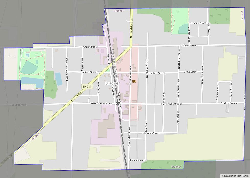
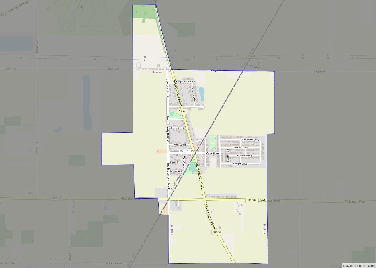
Online Interactive Map
Click on ![]() to view map in "full screen" mode.
to view map in "full screen" mode.
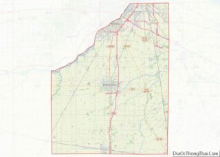
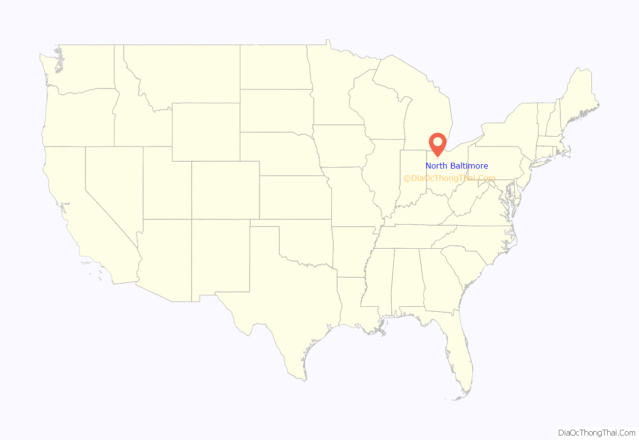
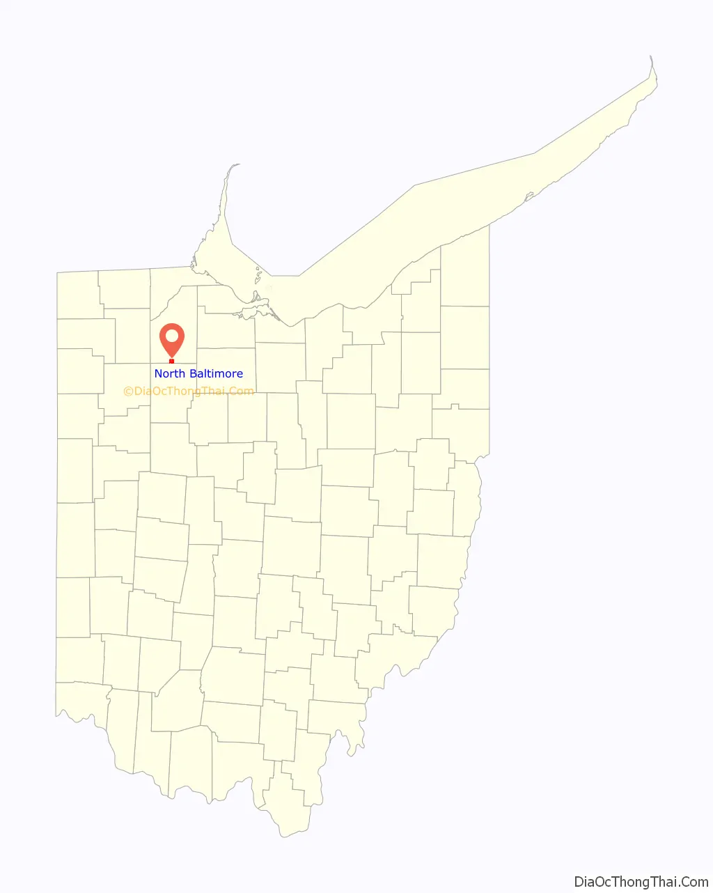
North Baltimore location map. Where is North Baltimore village?
History
North Baltimore was platted in 1874 when the Baltimore and Ohio Railroad was extended to that point. A post office called North Baltimore has been in operation since 1874. The village was incorporated in 1876.
A September 26, 1986 industrial incident in North Baltimore lead to fumes hospitalizing 89 people.
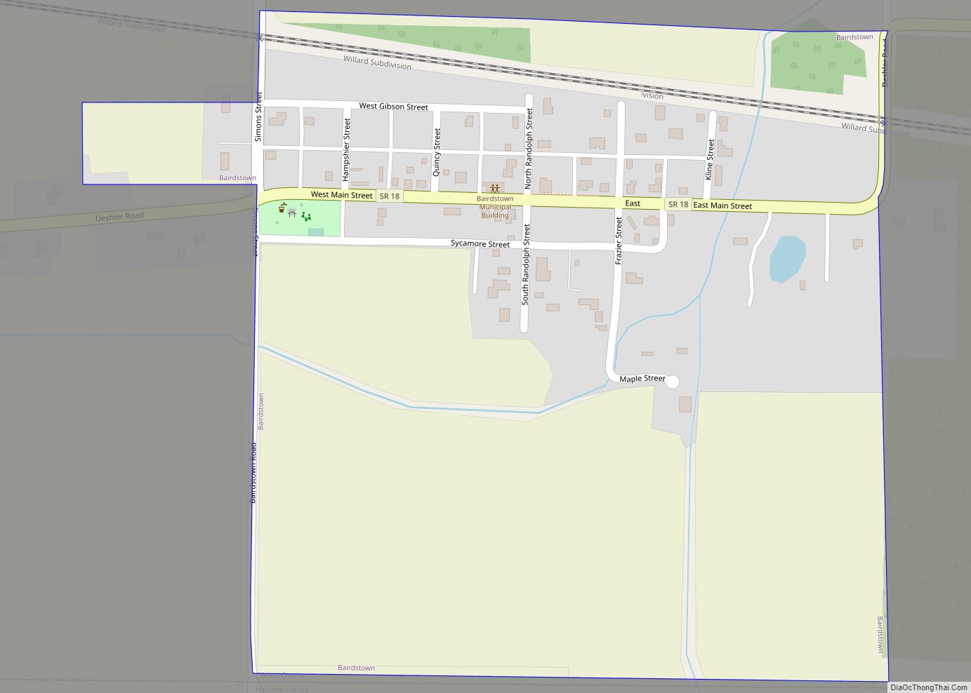
North Baltimore Road Map
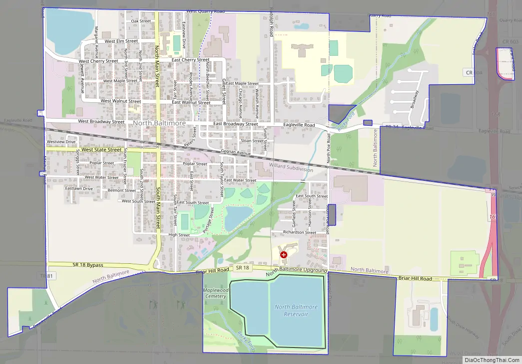
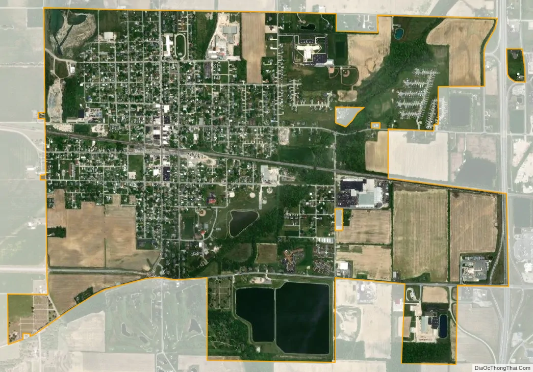
North Baltimore city Satellite Map
Geography
According to the United States Census Bureau, the village has a total area of 2.50 square miles (6.47 km), of which 2.47 square miles (6.40 km) is land and 0.03 square miles (0.08 km) is water.
Interstate 75 and Ohio State Route 18 meet at the village, while it is about three miles south of Ohio State Route 25 and 26 miles south of Interstate 80/Interstate 90 (Ohio Turnpike).
North Baltimore is about 12 miles (19 km) south of Bowling Green, 8 miles (13 km) north of Findlay, and about halfway between Lima and Toledo. North Baltimore is also linked to Bowling Green via a 13-mile bike route called the Slippery Elm Trail, with East Broadway Street in North Baltimore on the south end and Sand Ridge Road in Bowling Green on the north end.
Ironically, North Baltimore is not adjacent to Baltimore, Ohio, a village in Fairfield County approximately 25 miles east of Columbus. North Baltimore and Baltimore are actually approximately 140 miles from each other.
North Baltimore is part of the Toledo, OH Metropolitan Statistical Area and lies within the Toledo Media Market.
The village is home to the North Baltimore Local School District.
See also
Map of Ohio State and its subdivision:- Adams
- Allen
- Ashland
- Ashtabula
- Athens
- Auglaize
- Belmont
- Brown
- Butler
- Carroll
- Champaign
- Clark
- Clermont
- Clinton
- Columbiana
- Coshocton
- Crawford
- Cuyahoga
- Darke
- Defiance
- Delaware
- Erie
- Fairfield
- Fayette
- Franklin
- Fulton
- Gallia
- Geauga
- Greene
- Guernsey
- Hamilton
- Hancock
- Hardin
- Harrison
- Henry
- Highland
- Hocking
- Holmes
- Huron
- Jackson
- Jefferson
- Knox
- Lake
- Lake Erie
- Lawrence
- Licking
- Logan
- Lorain
- Lucas
- Madison
- Mahoning
- Marion
- Medina
- Meigs
- Mercer
- Miami
- Monroe
- Montgomery
- Morgan
- Morrow
- Muskingum
- Noble
- Ottawa
- Paulding
- Perry
- Pickaway
- Pike
- Portage
- Preble
- Putnam
- Richland
- Ross
- Sandusky
- Scioto
- Seneca
- Shelby
- Stark
- Summit
- Trumbull
- Tuscarawas
- Union
- Van Wert
- Vinton
- Warren
- Washington
- Wayne
- Williams
- Wood
- Wyandot
- Alabama
- Alaska
- Arizona
- Arkansas
- California
- Colorado
- Connecticut
- Delaware
- District of Columbia
- Florida
- Georgia
- Hawaii
- Idaho
- Illinois
- Indiana
- Iowa
- Kansas
- Kentucky
- Louisiana
- Maine
- Maryland
- Massachusetts
- Michigan
- Minnesota
- Mississippi
- Missouri
- Montana
- Nebraska
- Nevada
- New Hampshire
- New Jersey
- New Mexico
- New York
- North Carolina
- North Dakota
- Ohio
- Oklahoma
- Oregon
- Pennsylvania
- Rhode Island
- South Carolina
- South Dakota
- Tennessee
- Texas
- Utah
- Vermont
- Virginia
- Washington
- West Virginia
- Wisconsin
- Wyoming