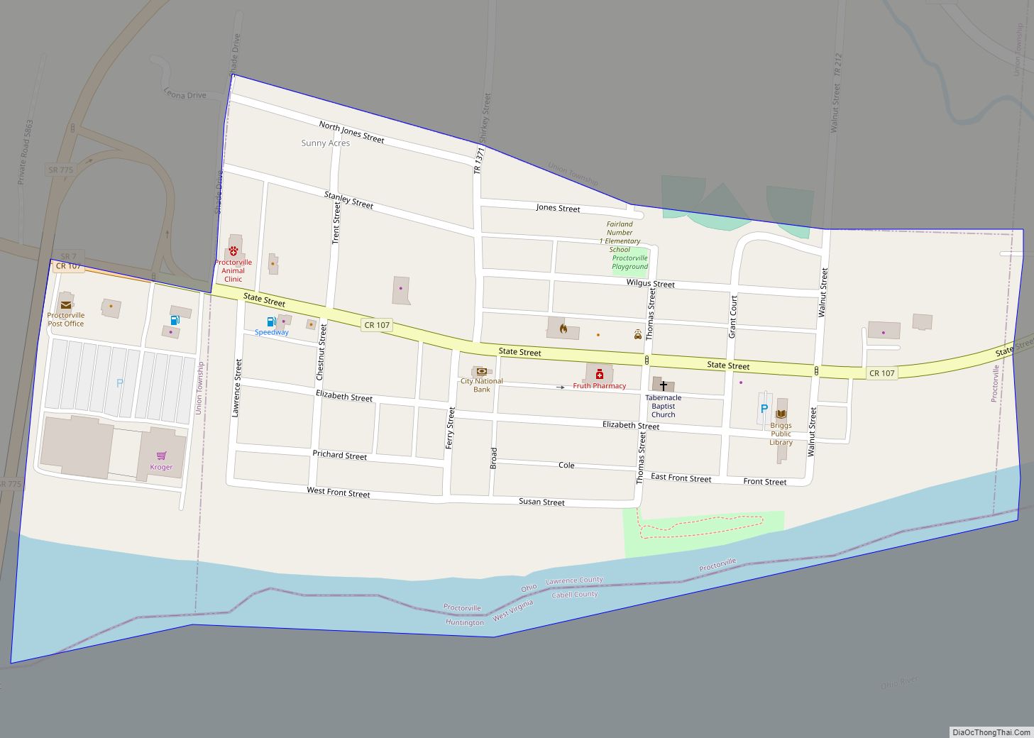
Proctorville is a village in Lawrence County, Ohio, United States, along the Ohio River. The population was 574 at the 2010 census. The East End Bridge connects Proctorville to Huntington, West Virginia across the Ohio River.
Proctorville is a part of the Huntington–Ashland, WV–KY–OH, Metropolitan Statistical Area (MSA). As of the 2000 census, the MSA had a population of 288,649.
| Name: | Proctorville village |
|---|---|
| LSAD Code: | 47 |
| LSAD Description: | village (suffix) |
| State: | Ohio |
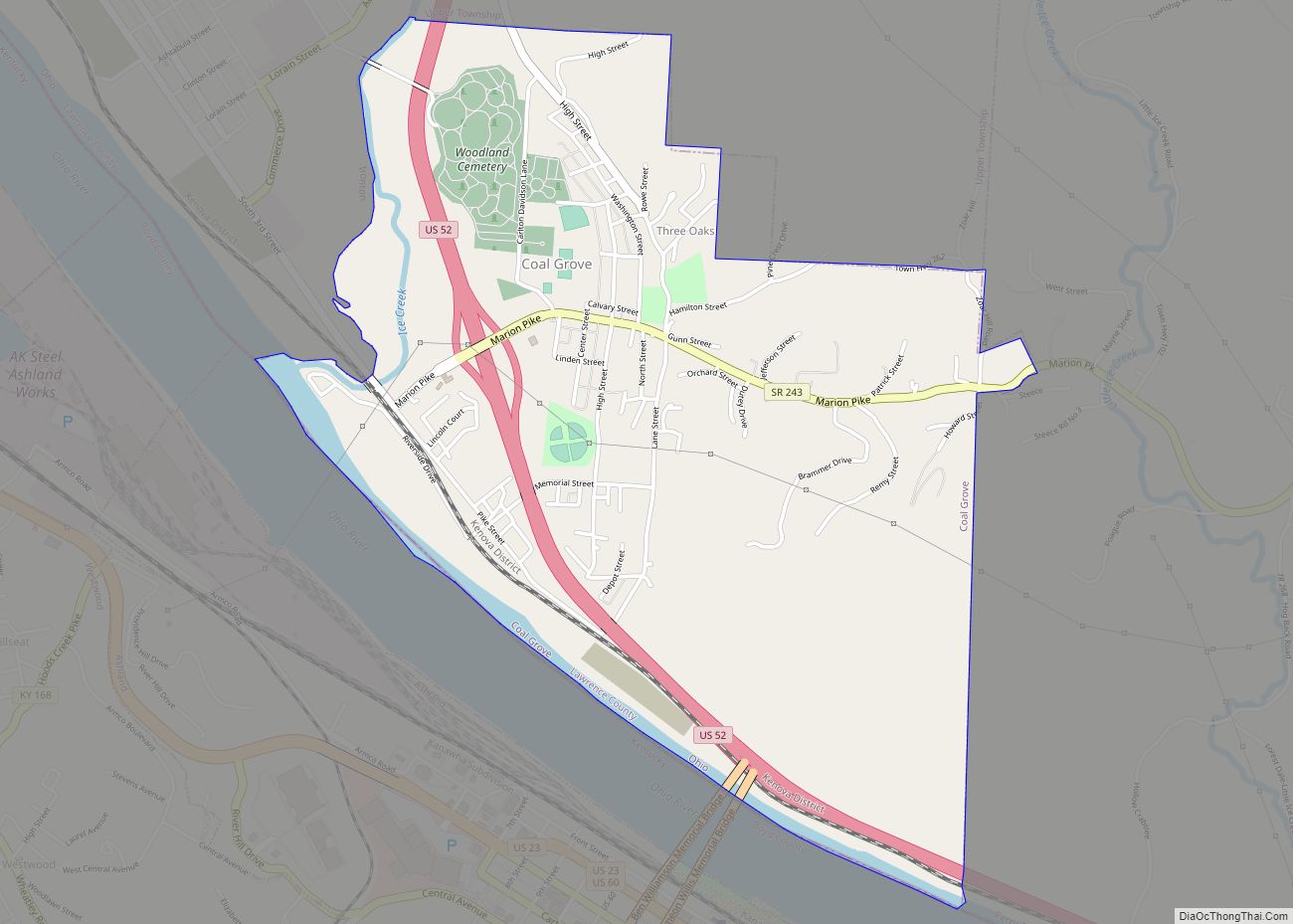
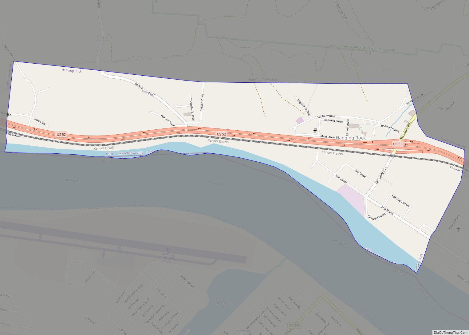
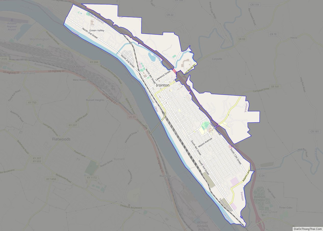
| County: | Lawrence County |
| Elevation: | 554 ft (169 m) |
| Total Area: | 0.27 sq mi (0.70 km²) |
| Land Area: | 0.24 sq mi (0.62 km²) |
| Water Area: | 0.03 sq mi (0.09 km²) |
| Total Population: | 523 |
| Population Density: | 2,197.48/sq mi (848.83/km²) |
| ZIP code: | 45669 |
| Area code: | 740 |
| FIPS code: | 3964766 |
| GNISfeature ID: | 1061574 |
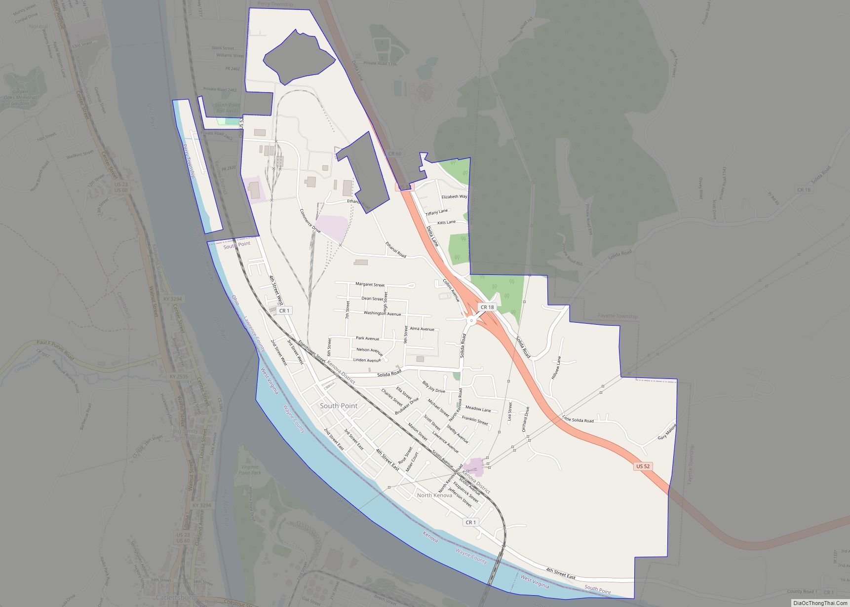
Online Interactive Map
Click on ![]() to view map in "full screen" mode.
to view map in "full screen" mode.
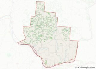
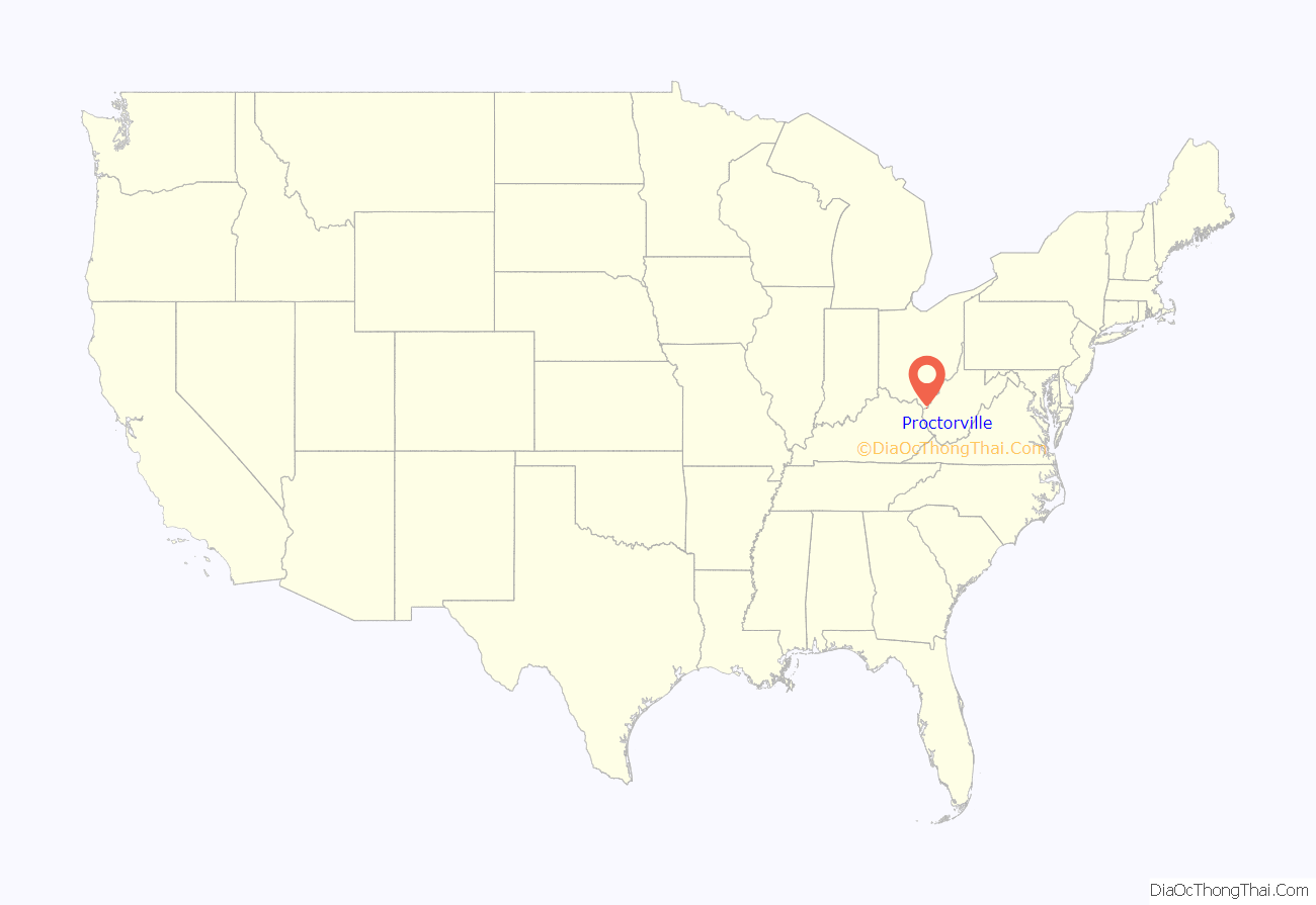
Proctorville location map. Where is Proctorville village?
History
The land where Proctorville is now situated was originally settled in 1797 and called Quaker Bottom. Situated on the Ohio River, Quaker Bottom grew throughout the 1800s as a trading center. In 1834, Jacob Proctor established a general store next to the wharf, and river boat captains knew the village as “Proctor’s Landing”. When the village was incorporated in 1878, the name was changed to Proctorville in Jacob’s honor.
The Rome Beauty apple was developed by Joel Gillette and his son Alanson in Rome Township, near Proctorville, in 1816.
The village was decimated by a fire on April 7, 1900, and most of the destroyed businesses were never rebuilt. Major flooding in 1913 and 1937 further damaged the village.
The village and surrounding area has experienced growth since the completion of the East End Bridge connecting Proctorville to Huntington in 1985.
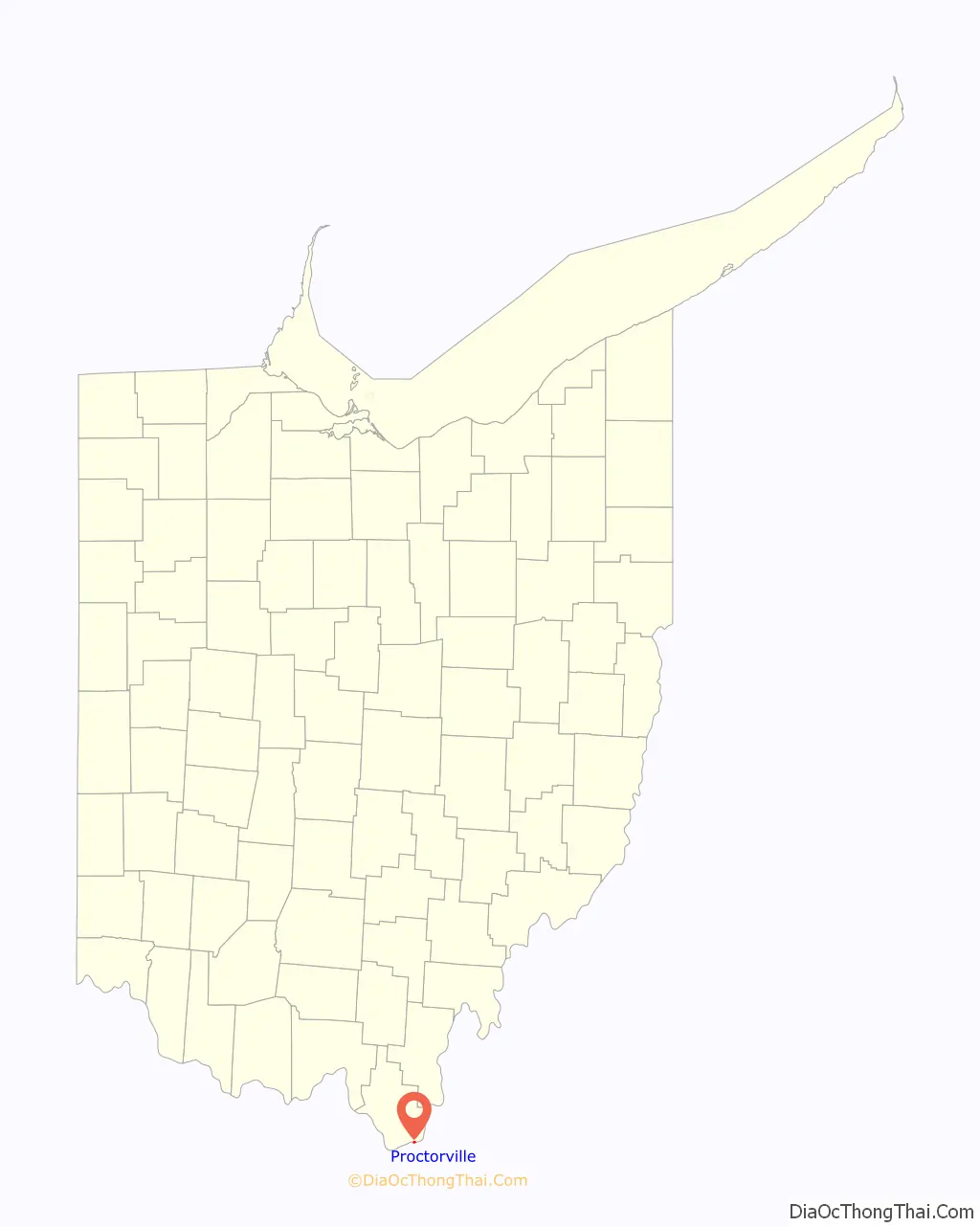
Proctorville Road Map
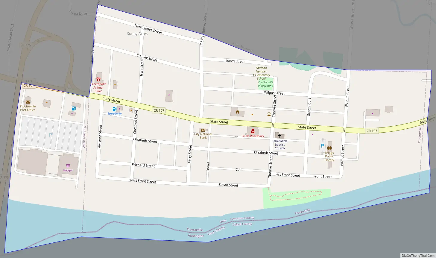
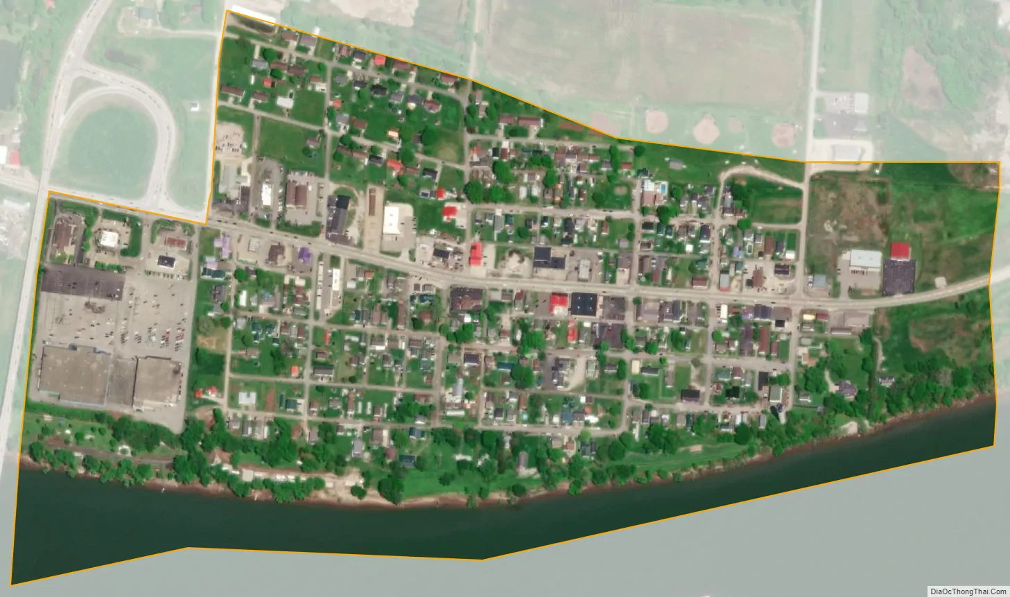
Proctorville city Satellite Map
Geography
Proctorville is located at 38°26′17″N 82°22′55″W / 38.43806°N 82.38194°W / 38.43806; -82.38194 (38.437980, -82.381853).
According to the United States Census Bureau, the village has a total area of 0.27 square miles (0.70 km), of which 0.24 square miles (0.62 km) is land and 0.03 square miles (0.08 km) is water.
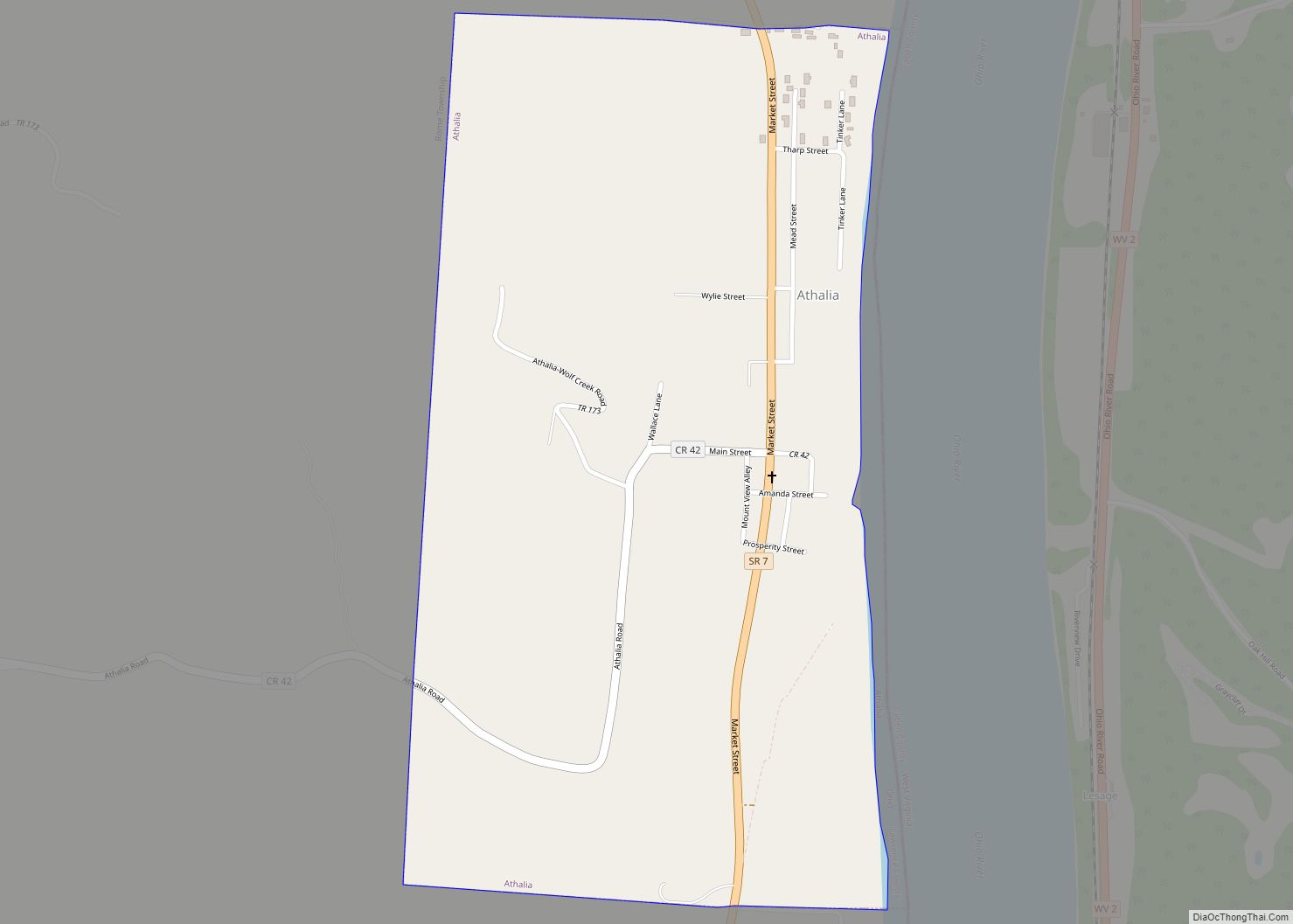
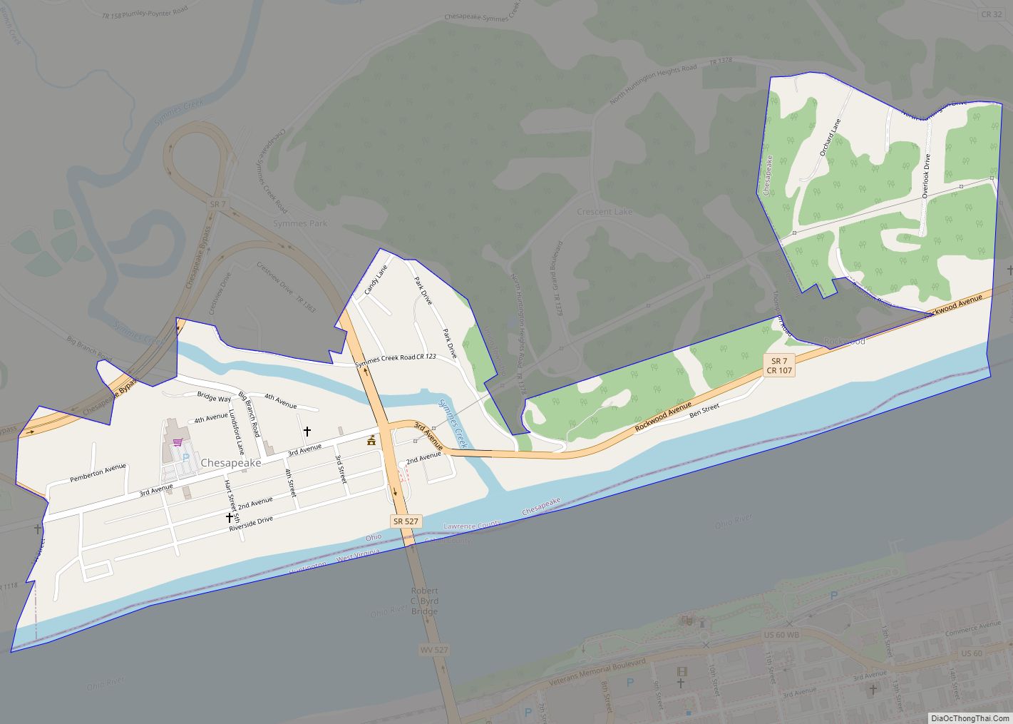
Along the river, it lies below Athalia and above Chesapeake.
See also
Map of Ohio State and its subdivision:- Adams
- Allen
- Ashland
- Ashtabula
- Athens
- Auglaize
- Belmont
- Brown
- Butler
- Carroll
- Champaign
- Clark
- Clermont
- Clinton
- Columbiana
- Coshocton
- Crawford
- Cuyahoga
- Darke
- Defiance
- Delaware
- Erie
- Fairfield
- Fayette
- Franklin
- Fulton
- Gallia
- Geauga
- Greene
- Guernsey
- Hamilton
- Hancock
- Hardin
- Harrison
- Henry
- Highland
- Hocking
- Holmes
- Huron
- Jackson
- Jefferson
- Knox
- Lake
- Lake Erie
- Lawrence
- Licking
- Logan
- Lorain
- Lucas
- Madison
- Mahoning
- Marion
- Medina
- Meigs
- Mercer
- Miami
- Monroe
- Montgomery
- Morgan
- Morrow
- Muskingum
- Noble
- Ottawa
- Paulding
- Perry
- Pickaway
- Pike
- Portage
- Preble
- Putnam
- Richland
- Ross
- Sandusky
- Scioto
- Seneca
- Shelby
- Stark
- Summit
- Trumbull
- Tuscarawas
- Union
- Van Wert
- Vinton
- Warren
- Washington
- Wayne
- Williams
- Wood
- Wyandot
- Alabama
- Alaska
- Arizona
- Arkansas
- California
- Colorado
- Connecticut
- Delaware
- District of Columbia
- Florida
- Georgia
- Hawaii
- Idaho
- Illinois
- Indiana
- Iowa
- Kansas
- Kentucky
- Louisiana
- Maine
- Maryland
- Massachusetts
- Michigan
- Minnesota
- Mississippi
- Missouri
- Montana
- Nebraska
- Nevada
- New Hampshire
- New Jersey
- New Mexico
- New York
- North Carolina
- North Dakota
- Ohio
- Oklahoma
- Oregon
- Pennsylvania
- Rhode Island
- South Carolina
- South Dakota
- Tennessee
- Texas
- Utah
- Vermont
- Virginia
- Washington
- West Virginia
- Wisconsin
- Wyoming