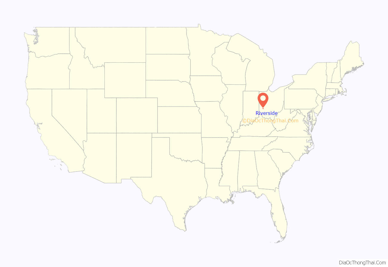
Riverside is a city in Montgomery County, Ohio, United States. A suburb of Dayton, The population was 24,474 at the 2020 census. It is part of the Dayton Metropolitan Statistical Area.
| Name: | Riverside city |
|---|---|
| LSAD Code: | 25 |
| LSAD Description: | city (suffix) |
| State: | Ohio |
| County: | Montgomery County |
| Incorporated: | January 1, 1995 |
| Elevation: | 781 ft (238 m) |
| Total Area: | 9.74 sq mi (25.24 km²) |
| Land Area: | 9.73 sq mi (25.19 km²) |
| Water Area: | 0.02 sq mi (0.05 km²) |
| Total Population: | 24,474 |
| Population Density: | 2,516.35/sq mi (971.61/km²) |
| Area code: | 937 |
| FIPS code: | 3967468 |
| GNISfeature ID: | 1071094 |
| Website: | https://www.riversideoh.gov/ |
Online Interactive Map
Click on ![]() to view map in "full screen" mode.
to view map in "full screen" mode.
Riverside location map. Where is Riverside city?

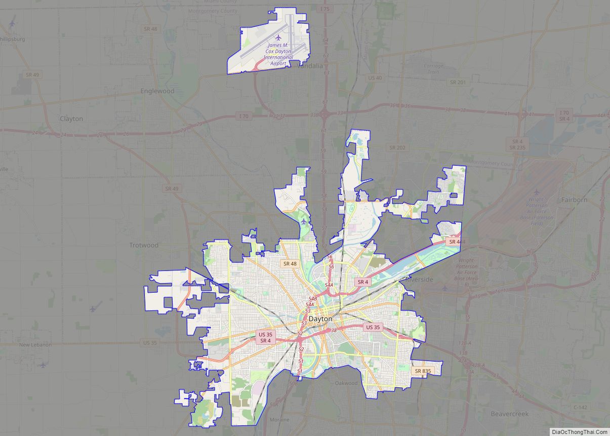
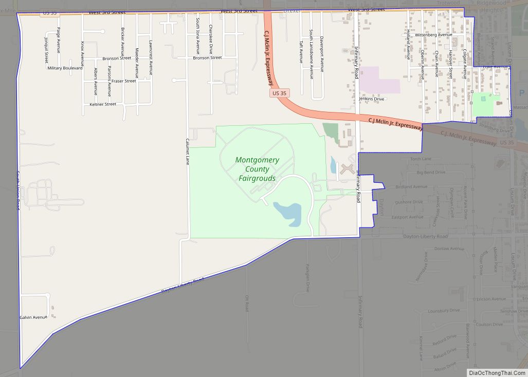
Riverside Road Map

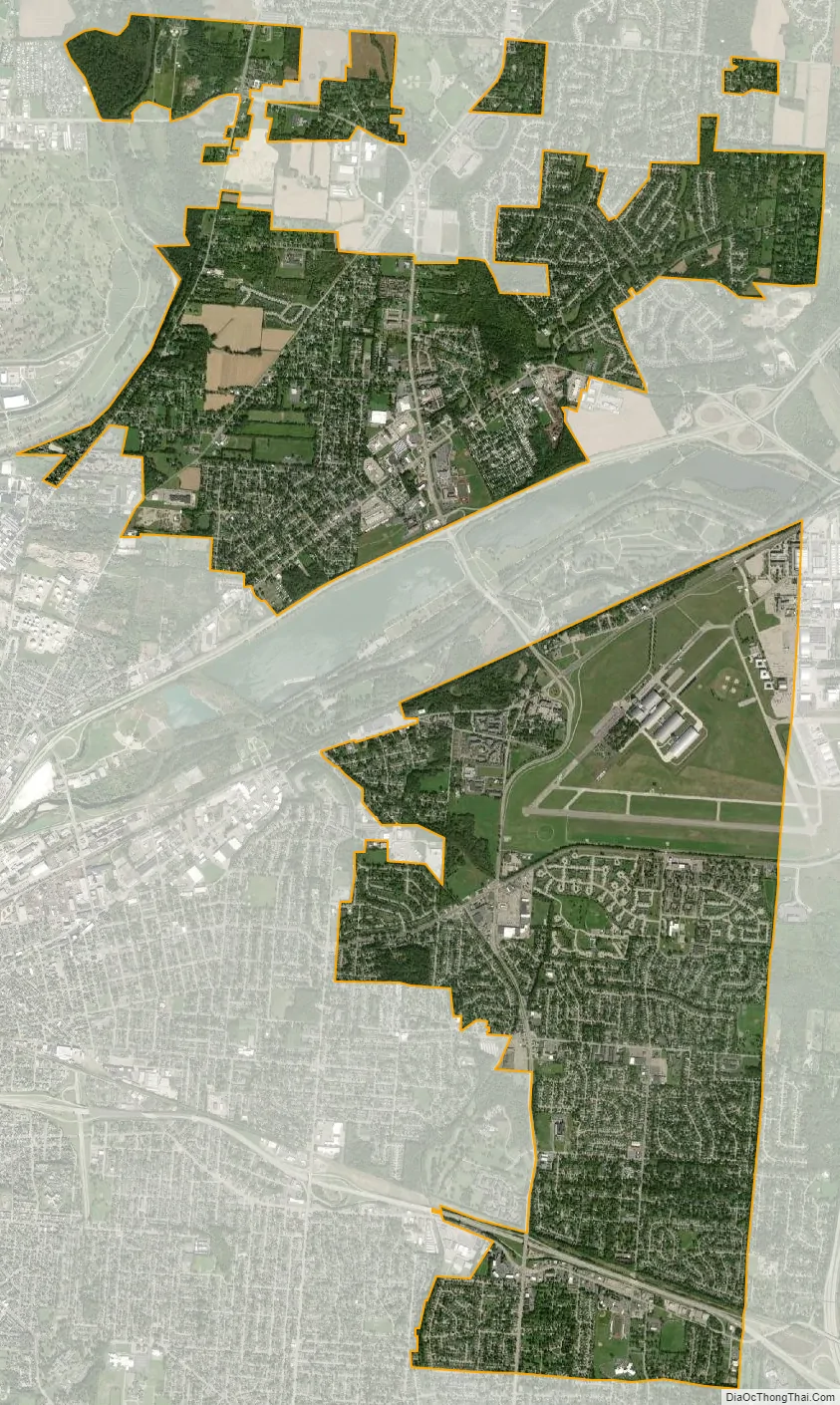
Riverside city Satellite Map
Geography
Riverside is located at 39°46′44″N 84°7′23″W / 39.77889°N 84.12306°W / 39.77889; -84.12306 (39.778858, -84.123094).
According to the United States Census Bureau, the city has a total area of 9.76 square miles (25.28 km), of which 9.72 square miles (25.17 km) is land and 0.04 square miles (0.10 km) is water.
In 1994, Riverside merged with the surrounding Mad River Township. This merger resulted in the creation of several separated sections of the city in parts of the township that had experienced annexations by Dayton, Huber Heights, and Wright-Patterson Air Force Base. There are a total of six disconnected sections of the city. The southernmost section comprises four smaller sections that are attached solely by annexed roadways and not surrounding properties.
The city is adjacent to Dayton, Kettering, Huber Heights, Wright-Patterson and a small section of Harrison Township in Montgomery County. The city of Beavercreek, Bath Township and Beavercreek Township in Greene County border Riverside on the east.
See also
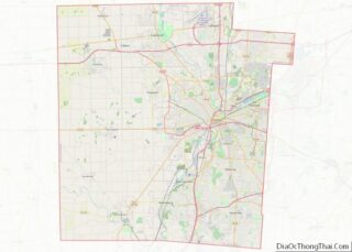
Map of Ohio State and its subdivision:- Adams
- Allen
- Ashland
- Ashtabula
- Athens
- Auglaize
- Belmont
- Brown
- Butler
- Carroll
- Champaign
- Clark
- Clermont
- Clinton
- Columbiana
- Coshocton
- Crawford
- Cuyahoga
- Darke
- Defiance
- Delaware
- Erie
- Fairfield
- Fayette
- Franklin
- Fulton
- Gallia
- Geauga
- Greene
- Guernsey
- Hamilton
- Hancock
- Hardin
- Harrison
- Henry
- Highland
- Hocking
- Holmes
- Huron
- Jackson
- Jefferson
- Knox
- Lake
- Lake Erie
- Lawrence
- Licking
- Logan
- Lorain
- Lucas
- Madison
- Mahoning
- Marion
- Medina
- Meigs
- Mercer
- Miami
- Monroe
- Montgomery
- Morgan
- Morrow
- Muskingum
- Noble
- Ottawa
- Paulding
- Perry
- Pickaway
- Pike
- Portage
- Preble
- Putnam
- Richland
- Ross
- Sandusky
- Scioto
- Seneca
- Shelby
- Stark
- Summit
- Trumbull
- Tuscarawas
- Union
- Van Wert
- Vinton
- Warren
- Washington
- Wayne
- Williams
- Wood
- Wyandot
- Alabama
- Alaska
- Arizona
- Arkansas
- California
- Colorado
- Connecticut
- Delaware
- District of Columbia
- Florida
- Georgia
- Hawaii
- Idaho
- Illinois
- Indiana
- Iowa
- Kansas
- Kentucky
- Louisiana
- Maine
- Maryland
- Massachusetts
- Michigan
- Minnesota
- Mississippi
- Missouri
- Montana
- Nebraska
- Nevada
- New Hampshire
- New Jersey
- New Mexico
- New York
- North Carolina
- North Dakota
- Ohio
- Oklahoma
- Oregon
- Pennsylvania
- Rhode Island
- South Carolina
- South Dakota
- Tennessee
- Texas
- Utah
- Vermont
- Virginia
- Washington
- West Virginia
- Wisconsin
- Wyoming