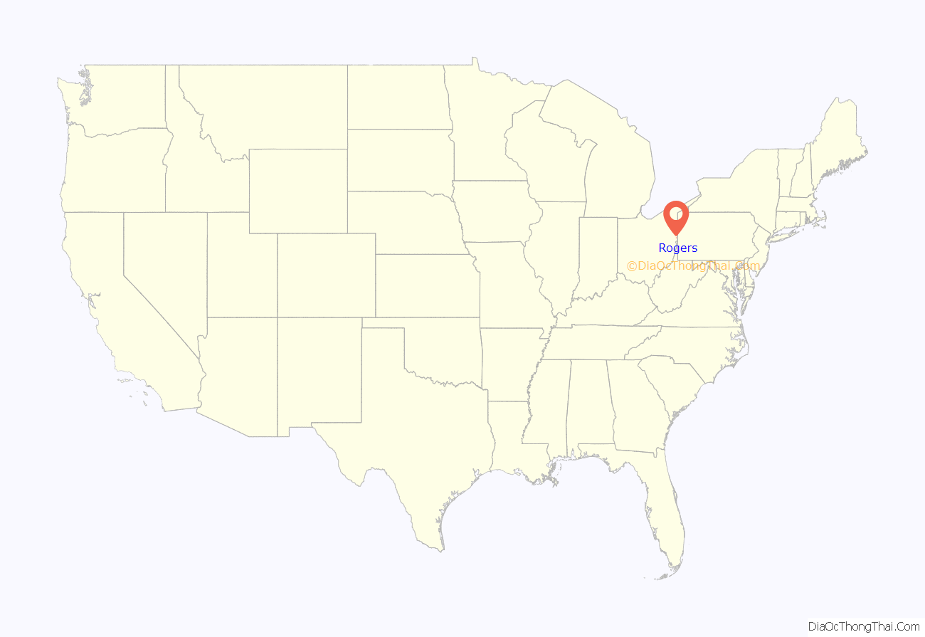
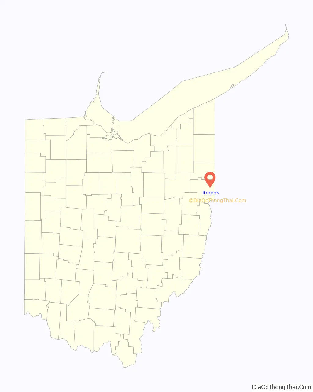
Rogers is a village in eastern Columbiana County, Ohio, United States. The population was 194 at the 2020 census. It is a part of the Salem micropolitan area, 21 miles (34 km) south of Youngstown.
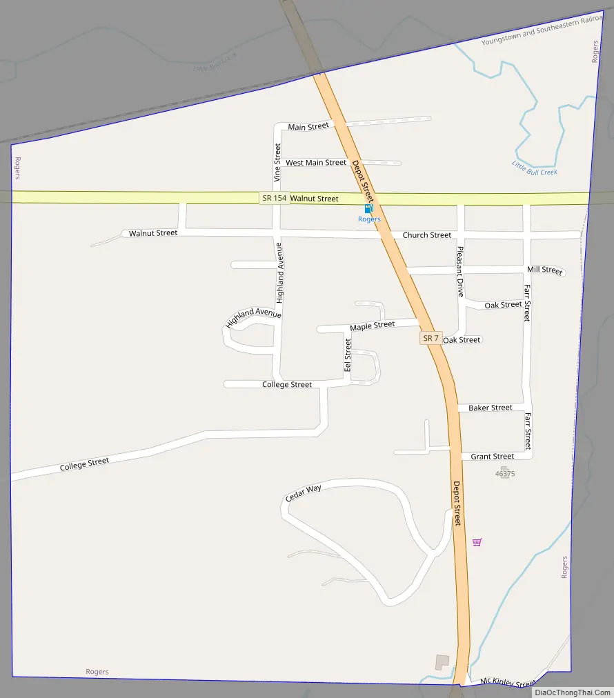
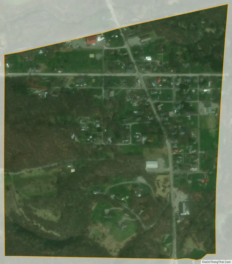
Located along the Little Bull Creek and the Youngstown and Southeastern Railroad, it is best known for the Rogers Flea Market & Auction, one of the largest open-air flea markets in Ohio.
| Name: | Rogers village |
|---|---|
| LSAD Code: | 47 |
| LSAD Description: | village (suffix) |
| State: | Ohio |
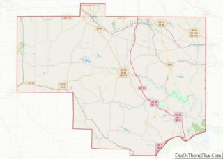
| County: | Columbiana County |
| Elevation: | 1,027 ft (313 m) |
| Total Area: | 0.23 sq mi (0.59 km²) |
| Land Area: | 0.23 sq mi (0.59 km²) |
| Water Area: | 0.00 sq mi (0.00 km²) |
| Total Population: | 194 |
| Population Density: | 854.63/sq mi (329.39/km²) |
| ZIP code: | 44455 |
| Area code: | 330, 234 |
| FIPS code: | 3968084 |
| GNISfeature ID: | 1045153 |
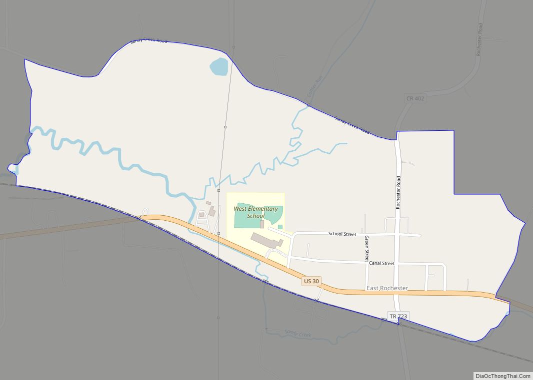
Online Interactive Map
Click on ![]() to view map in "full screen" mode.
to view map in "full screen" mode.
Rogers location map. Where is Rogers village?
History
Rogers had its start in the year 1883 by the building of the Pittsburgh, Lisbon and Western Railroad through the territory. It was named for its founder, T. G. Rogers. Rogers was incorporated as a village in 1895.
Mount Hope College
Mount Hope College was an academy in central Rogers, located on Highland Avenue. In 1894, the academy burned, but was rebuilt the same year. Brothers Asher A. Galbreath and Charles Burleigh Galbreath bought the academy in 1894. In 1905, the college was changed to a correspondence school named Carnegie College, and later to a public school. The public school, Rogers Area School, served students in grades 1-8. The structure was again destroyed by fire in January 1951. The successor schoolhouse, built on Sprucevale Road in southern Rogers, would become the Rogers Elementary School, serving under the Beaver Local School District until demolition in 2015.
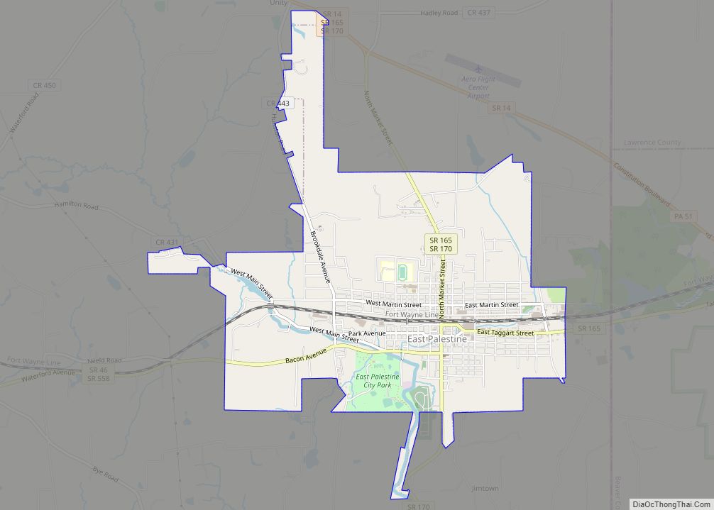
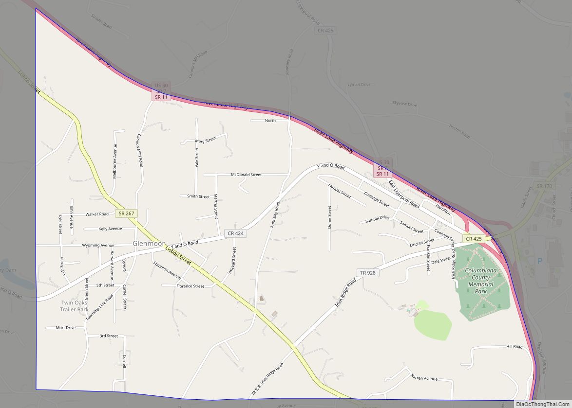
Rogers Road Map
Rogers city Satellite Map
Geography
Rogers is located at 40°47′26″N 80°37′32″W / 40.79056°N 80.62556°W / 40.79056; -80.62556 (40.790549, -80.625501).
The following highways pass through Rogers:
- State Route 7
- State Route 154
According to the United States Census Bureau, the village has a total area of 0.23 square miles (0.60 km), all land.
See also
Map of Ohio State and its subdivision:- Adams
- Allen
- Ashland
- Ashtabula
- Athens
- Auglaize
- Belmont
- Brown
- Butler
- Carroll
- Champaign
- Clark
- Clermont
- Clinton
- Columbiana
- Coshocton
- Crawford
- Cuyahoga
- Darke
- Defiance
- Delaware
- Erie
- Fairfield
- Fayette
- Franklin
- Fulton
- Gallia
- Geauga
- Greene
- Guernsey
- Hamilton
- Hancock
- Hardin
- Harrison
- Henry
- Highland
- Hocking
- Holmes
- Huron
- Jackson
- Jefferson
- Knox
- Lake
- Lake Erie
- Lawrence
- Licking
- Logan
- Lorain
- Lucas
- Madison
- Mahoning
- Marion
- Medina
- Meigs
- Mercer
- Miami
- Monroe
- Montgomery
- Morgan
- Morrow
- Muskingum
- Noble
- Ottawa
- Paulding
- Perry
- Pickaway
- Pike
- Portage
- Preble
- Putnam
- Richland
- Ross
- Sandusky
- Scioto
- Seneca
- Shelby
- Stark
- Summit
- Trumbull
- Tuscarawas
- Union
- Van Wert
- Vinton
- Warren
- Washington
- Wayne
- Williams
- Wood
- Wyandot
- Alabama
- Alaska
- Arizona
- Arkansas
- California
- Colorado
- Connecticut
- Delaware
- District of Columbia
- Florida
- Georgia
- Hawaii
- Idaho
- Illinois
- Indiana
- Iowa
- Kansas
- Kentucky
- Louisiana
- Maine
- Maryland
- Massachusetts
- Michigan
- Minnesota
- Mississippi
- Missouri
- Montana
- Nebraska
- Nevada
- New Hampshire
- New Jersey
- New Mexico
- New York
- North Carolina
- North Dakota
- Ohio
- Oklahoma
- Oregon
- Pennsylvania
- Rhode Island
- South Carolina
- South Dakota
- Tennessee
- Texas
- Utah
- Vermont
- Virginia
- Washington
- West Virginia
- Wisconsin
- Wyoming