Somerset is a village in Perry County, Ohio, United States. The population was 1,481 at the 2020 census. It is located 9.5 miles (15.3 km) north of the county seat New Lexington and has a dedicated historical district. Saint Joseph Church, the oldest Catholic church in Ohio, is located just outside Somerset on State Route 383.
| Name: | Somerset village |
|---|---|
| LSAD Code: | 47 |
| LSAD Description: | village (suffix) |
| State: | Ohio |
| County: | Perry County |
| Elevation: | 1,083 ft (330 m) |
| Total Area: | 1.17 sq mi (3.02 km²) |
| Land Area: | 1.17 sq mi (3.02 km²) |
| Water Area: | 0.00 sq mi (0.00 km²) |
| Total Population: | 1,481 |
| Population Density: | 1,271.24/sq mi (490.83/km²) |
| ZIP code: | 43783 |
| Area code: | 740 |
| FIPS code: | 3972977 |
| GNISfeature ID: | 1065343 |
| Website: | www.somersetohio.org |
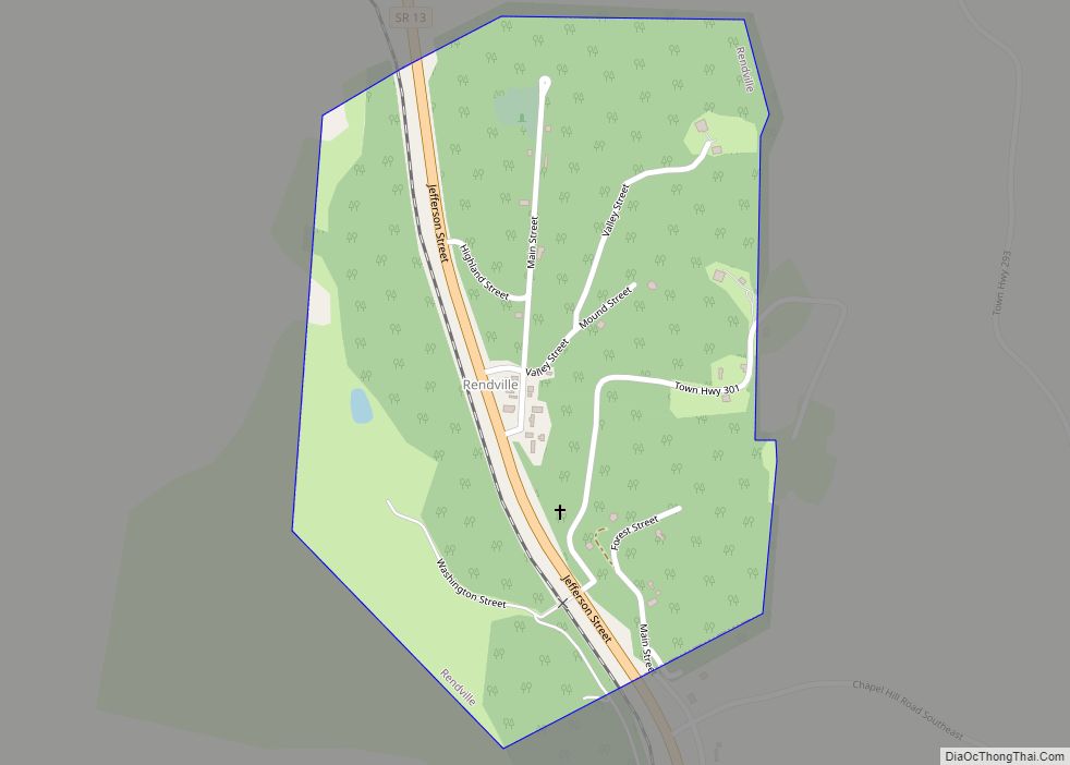
Online Interactive Map
Click on ![]() to view map in "full screen" mode.
to view map in "full screen" mode.
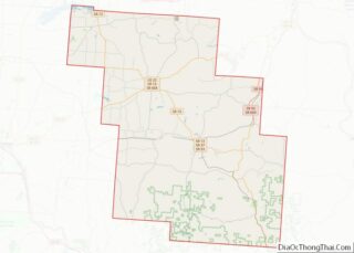
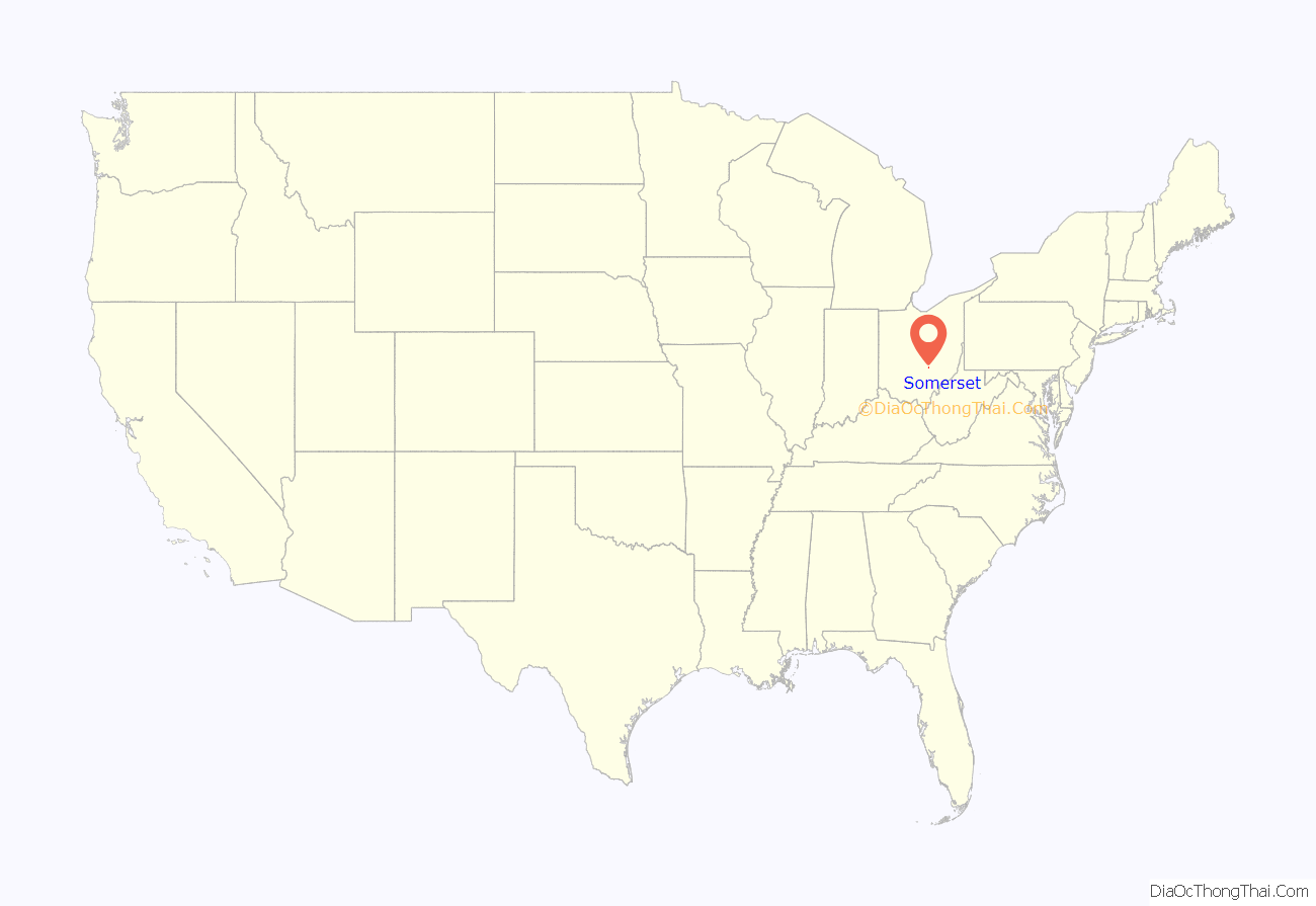
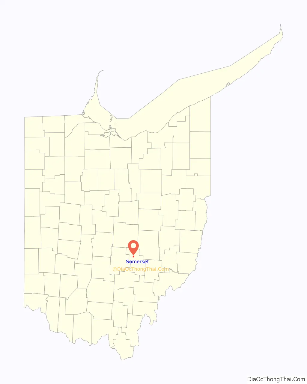
Somerset location map. Where is Somerset village?
History
The village of Somerset was established in 1807 by settlers from Somerset, Pennsylvania at the spot on Zane’s Trace located midway between Lancaster and Zanesville. Seven years later, parts of Fairfield, Muskingum, and Washington counties were merged to create Perry County, and the house of a Somerset resident was named the first temporary courthouse. In 1819, the county government arranged for the erection of a purpose-built courthouse in Somerset; while most of the building was used for a jail, it also included a courtroom and space for some county offices. Ten years later, a permanent courthouse was constructed on the village’s public square.
As the village of New Lexington grew in importance, its residents began to agitate for the county seat to be moved to their community. From 1851 to 1859, the state legislature passed three separate laws to permit the county seat to be moved; contentious elections and a decision by the Supreme Court of Ohio saw the county seat move to New Lexington, back to Somerset, and finally back to New Lexington. After it ceased to be used as a courthouse, the building was leased to Somerset for use as its village hall.
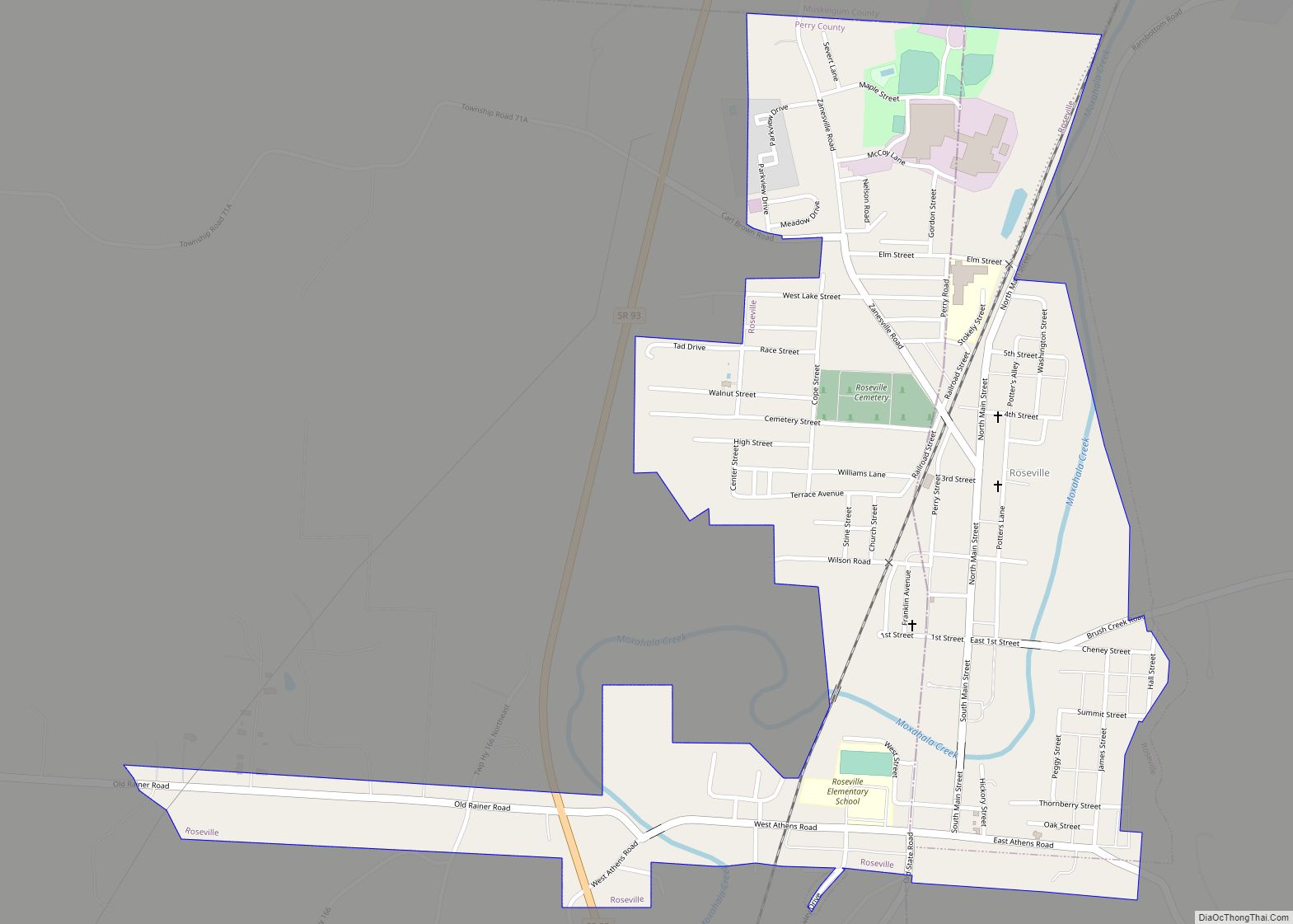
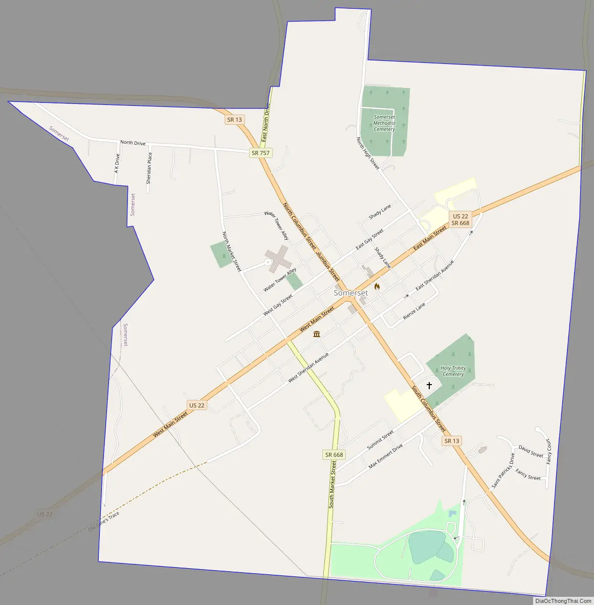
Somerset Road Map
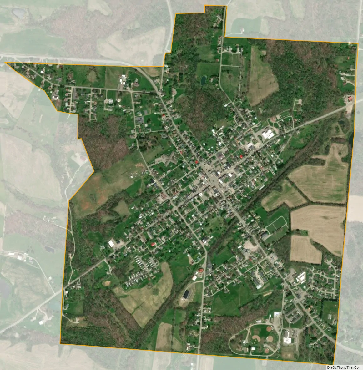
Somerset city Satellite Map
Geography
Somerset is located at 39°48′25″N 82°18′4″W / 39.80694°N 82.30111°W / 39.80694; -82.30111 (39.806902, -82.301250).
According to the United States Census Bureau, the village has a total area of 1.16 square miles (3.00 km), all land.
See also
Map of Ohio State and its subdivision:- Adams
- Allen
- Ashland
- Ashtabula
- Athens
- Auglaize
- Belmont
- Brown
- Butler
- Carroll
- Champaign
- Clark
- Clermont
- Clinton
- Columbiana
- Coshocton
- Crawford
- Cuyahoga
- Darke
- Defiance
- Delaware
- Erie
- Fairfield
- Fayette
- Franklin
- Fulton
- Gallia
- Geauga
- Greene
- Guernsey
- Hamilton
- Hancock
- Hardin
- Harrison
- Henry
- Highland
- Hocking
- Holmes
- Huron
- Jackson
- Jefferson
- Knox
- Lake
- Lake Erie
- Lawrence
- Licking
- Logan
- Lorain
- Lucas
- Madison
- Mahoning
- Marion
- Medina
- Meigs
- Mercer
- Miami
- Monroe
- Montgomery
- Morgan
- Morrow
- Muskingum
- Noble
- Ottawa
- Paulding
- Perry
- Pickaway
- Pike
- Portage
- Preble
- Putnam
- Richland
- Ross
- Sandusky
- Scioto
- Seneca
- Shelby
- Stark
- Summit
- Trumbull
- Tuscarawas
- Union
- Van Wert
- Vinton
- Warren
- Washington
- Wayne
- Williams
- Wood
- Wyandot
- Alabama
- Alaska
- Arizona
- Arkansas
- California
- Colorado
- Connecticut
- Delaware
- District of Columbia
- Florida
- Georgia
- Hawaii
- Idaho
- Illinois
- Indiana
- Iowa
- Kansas
- Kentucky
- Louisiana
- Maine
- Maryland
- Massachusetts
- Michigan
- Minnesota
- Mississippi
- Missouri
- Montana
- Nebraska
- Nevada
- New Hampshire
- New Jersey
- New Mexico
- New York
- North Carolina
- North Dakota
- Ohio
- Oklahoma
- Oregon
- Pennsylvania
- Rhode Island
- South Carolina
- South Dakota
- Tennessee
- Texas
- Utah
- Vermont
- Virginia
- Washington
- West Virginia
- Wisconsin
- Wyoming