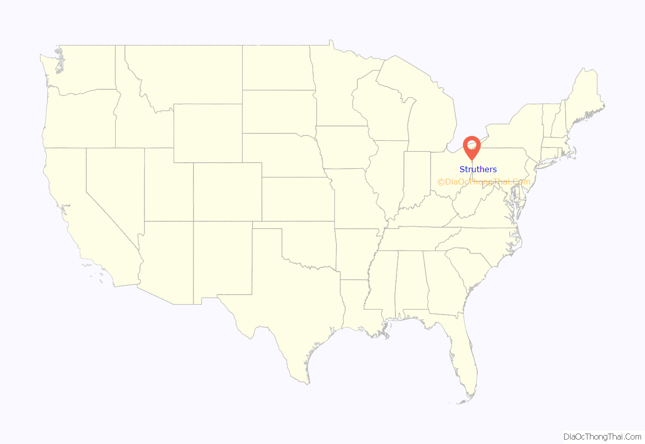
Struthers is a city in eastern Mahoning County, Ohio, United States, along the Mahoning River. The population was 10,063 at the 2020 census. Located directly southeast of Youngstown, it is a suburb of the Youngstown–Warren metropolitan area.
| Name: | Struthers city |
|---|---|
| LSAD Code: | 25 |
| LSAD Description: | city (suffix) |
| State: | Ohio |
| County: | Mahoning County |
| Elevation: | 1,007 ft (307 m) |
| Total Area: | 3.74 sq mi (9.68 km²) |
| Land Area: | 3.64 sq mi (9.43 km²) |
| Water Area: | 0.10 sq mi (0.25 km²) |
| Total Population: | 10,063 |
| Population Density: | 2,763.80/sq mi (1,067.15/km²) |
| ZIP code: | 44471 |
| Area code: | 234/330 |
| FIPS code: | 3975126 |
| GNISfeature ID: | 1056948 |
| Website: | http://www.cityofstruthers.com/ |
Online Interactive Map
Click on ![]() to view map in "full screen" mode.
to view map in "full screen" mode.
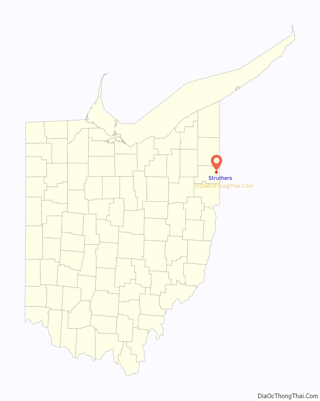
Struthers location map. Where is Struthers city?
History
John Struthers, from Washington County, Pennsylvania, purchased 400 acres (1.6 km) of Poland Township land in 1798 and gave it the name Marbletown. John Struthers owned this land until the War of 1812 came around when he and his family suffered financial ruin. The land was dormant until 1865 when it was purchased by Thomas Struthers. Thomas bought this land to honor his father and he was instrumental in bringing industry and railroads to the town. Eventually, the town would have its name changed to Struthers by popular vote.
In 1943, a Jehovah’s Witnesses was fined by the city for distributing religious pamphlets door-to-door. The U.S. Supreme Court ruled that this was a violation of the First Amendment in Martin v. Struthers.
Influence of steel
The community’s early history centers on Yellow Creek, where the cradle of steel began with the building of the Hopewell Furnace. This furnace was built in 1803 by Daniel Eaton and was mentioned in the first line of the 1995 Bruce Springsteen song “Youngstown”. The Hopewell Furnace thrived for a little over ten years until John Struthers reached his financial crisis in 1812.
In 1869, Struthers again became an iron-producing community with the construction of the Anna Furnace by the Struthers Iron Company. In 1880, the sheet mill plant of the Summer’s Brothers Co. was added and in 1888, the plant of the J. A. and D. P. Cooper Gear Company was constructed.
With all these activities, Struthers still remained a village of less than 1,000 inhabitants, after 100 years had elapsed since John Struthers built his first cabin and erected the sawmill and grist mill on Yellow Creek. In 1899, Struthers was brought into closer communication with Youngstown and the upper Mahoning Valley by the completion of an interurban electric line.
In 1902, the neighboring village of East Youngstown (now Campbell) was started. This new community was started shortly after the incorporation of the Youngstown Iron Sheet and Tube Company (known as the Youngstown Sheet and Tube Co., since 1905).
With the steel industry booming in the early part of the 1900s, immigrants from throughout Europe flooded into Struthers. Still a village when it was officially incorporated in 1902, Struthers quickly became a city in 1920. The steel industry allowed the city to flourish until 1977, when several area plants closed their doors for good. The city padded the loss of thousands of jobs by using its industrial infrastructure to lure non-steel making jobs, but population losses have continued throughout the start of the new century.
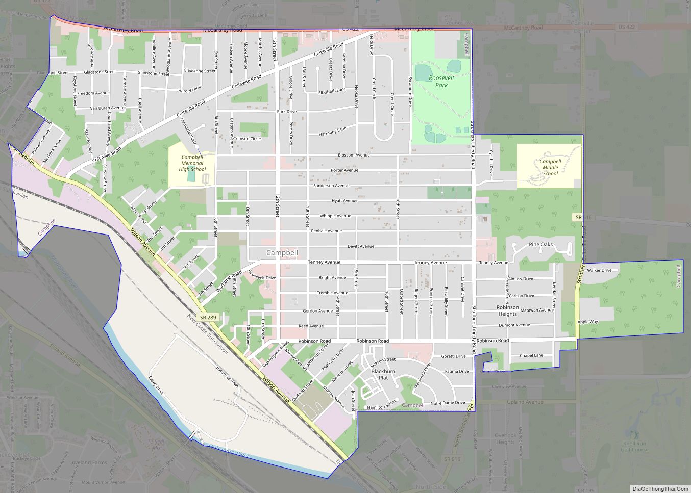
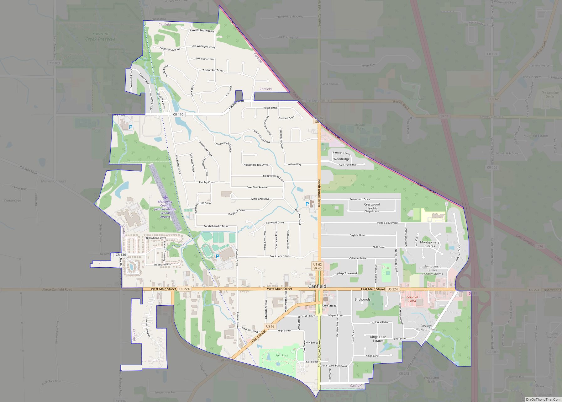
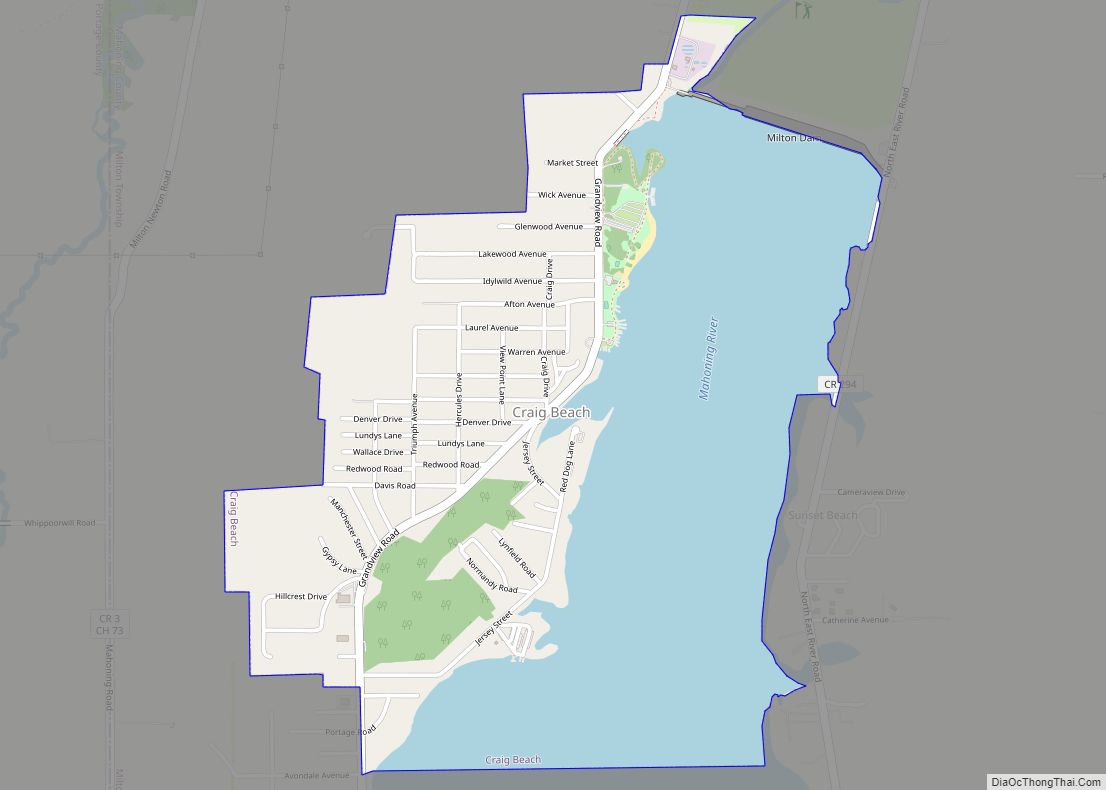
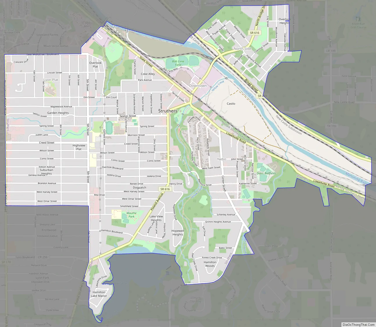
Struthers Road Map
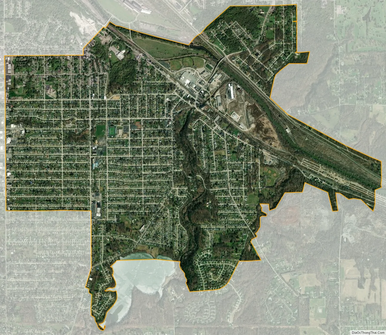
Struthers city Satellite Map
Geography
Struthers is located on the banks of the Mahoning River about 4 miles (6.4 km) west of the border between Ohio and Pennsylvania at the intersection of Ohio State Route 616 and Ohio State Route 289. The larger part of the city is across the river from State Route 289 on the south side of the river. The geodetic coordinates are 41°3′8″N 80°35′37″W / 41.05222°N 80.59361°W / 41.05222; -80.59361 (41.052255, -80.593591).
According to the United States Census Bureau, the city has a total area of 3.74 square miles (9.69 km), of which 3.64 square miles (9.43 km) is land and 0.10 square miles (0.26 km) is water.
Neighborhoods
- Downtown
- Nebo
- North Hill
- Lyon Plat
- Coke Alley
See also
Map of Ohio State and its subdivision:- Adams
- Allen
- Ashland
- Ashtabula
- Athens
- Auglaize
- Belmont
- Brown
- Butler
- Carroll
- Champaign
- Clark
- Clermont
- Clinton
- Columbiana
- Coshocton
- Crawford
- Cuyahoga
- Darke
- Defiance
- Delaware
- Erie
- Fairfield
- Fayette
- Franklin
- Fulton
- Gallia
- Geauga
- Greene
- Guernsey
- Hamilton
- Hancock
- Hardin
- Harrison
- Henry
- Highland
- Hocking
- Holmes
- Huron
- Jackson
- Jefferson
- Knox
- Lake
- Lake Erie
- Lawrence
- Licking
- Logan
- Lorain
- Lucas
- Madison
- Mahoning
- Marion
- Medina
- Meigs
- Mercer
- Miami
- Monroe
- Montgomery
- Morgan
- Morrow
- Muskingum
- Noble
- Ottawa
- Paulding
- Perry
- Pickaway
- Pike
- Portage
- Preble
- Putnam
- Richland
- Ross
- Sandusky
- Scioto
- Seneca
- Shelby
- Stark
- Summit
- Trumbull
- Tuscarawas
- Union
- Van Wert
- Vinton
- Warren
- Washington
- Wayne
- Williams
- Wood
- Wyandot
- Alabama
- Alaska
- Arizona
- Arkansas
- California
- Colorado
- Connecticut
- Delaware
- District of Columbia
- Florida
- Georgia
- Hawaii
- Idaho
- Illinois
- Indiana
- Iowa
- Kansas
- Kentucky
- Louisiana
- Maine
- Maryland
- Massachusetts
- Michigan
- Minnesota
- Mississippi
- Missouri
- Montana
- Nebraska
- Nevada
- New Hampshire
- New Jersey
- New Mexico
- New York
- North Carolina
- North Dakota
- Ohio
- Oklahoma
- Oregon
- Pennsylvania
- Rhode Island
- South Carolina
- South Dakota
- Tennessee
- Texas
- Utah
- Vermont
- Virginia
- Washington
- West Virginia
- Wisconsin
- Wyoming