Sunbury is a city in Delaware County, Ohio, United States. The population was 4,389 during the 2010 census. The city is centered on a New England-styled traditional town square with a historic village hall located in the center of a village green. Located here is a major Showa Corporation factory, which produces automotive parts for Honda of America. The city is home to a K-12 public school district, the Big Walnut Local School District and their sports team, the ‘Golden Eagles’. The district also serves students in the neighboring town of Galena, Ohio. Sunbury went from being a village to a city on October 22, 2021.
| Name: | Sunbury village |
|---|---|
| LSAD Code: | 47 |
| LSAD Description: | village (suffix) |
| State: | Ohio |
| County: | Delaware County |
| Elevation: | 971 ft (296 m) |
| Total Area: | 4.83 sq mi (12.52 km²) |
| Land Area: | 4.81 sq mi (12.47 km²) |
| Water Area: | 0.02 sq mi (0.05 km²) |
| Total Population: | 6,614 |
| Population Density: | 1,373.91/sq mi (530.45/km²) |
| ZIP code: | 43074 |
| Area code: | 740, 220 |
| FIPS code: | 3975602 |
| GNISfeature ID: | 1049231 |
| Website: | sunburyvillage.com |
Online Interactive Map
Click on ![]() to view map in "full screen" mode.
to view map in "full screen" mode.
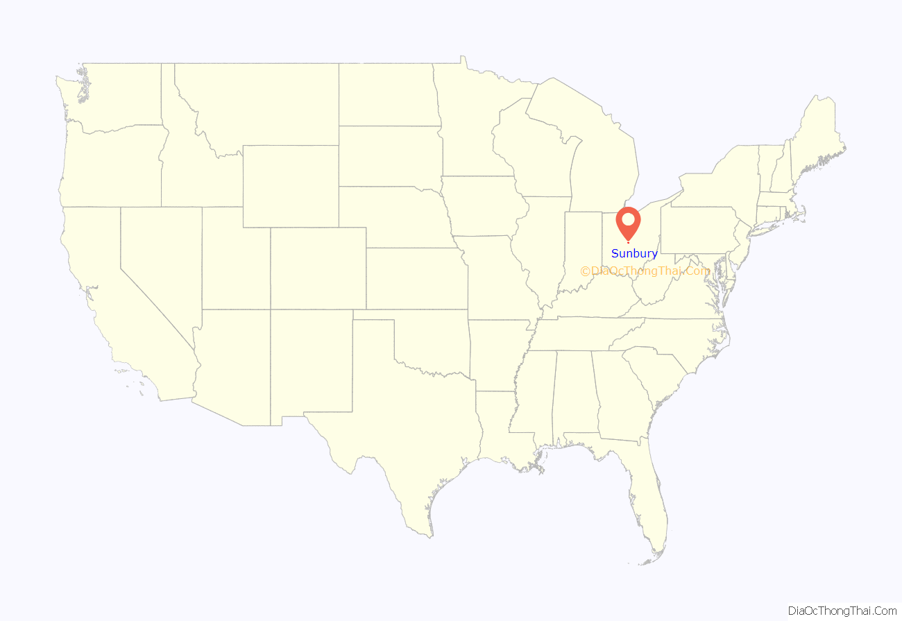
Sunbury location map. Where is Sunbury village?
Sunbury Road Map
Sunbury city Satellite Map
Geography
Sunbury is located at 40°14′34″N 82°51′38″W / 40.24278°N 82.86056°W / 40.24278; -82.86056 (40.242838, -82.860439).
According to the United States Census Bureau, the city has a total area of 3.30 square miles (8.55 km), of which 3.28 square miles (8.50 km) are land and 0.02 square miles (0.05 km) are water.
Sunbury neighbors Galena, Ohio to the south, with which it shares a school district and has provided services such as police. Sunbury is east of Delaware, Ohio (not to be confused with Delaware County, where they are both located).
See also
Map of Ohio State and its subdivision:- Adams
- Allen
- Ashland
- Ashtabula
- Athens
- Auglaize
- Belmont
- Brown
- Butler
- Carroll
- Champaign
- Clark
- Clermont
- Clinton
- Columbiana
- Coshocton
- Crawford
- Cuyahoga
- Darke
- Defiance
- Delaware
- Erie
- Fairfield
- Fayette
- Franklin
- Fulton
- Gallia
- Geauga
- Greene
- Guernsey
- Hamilton
- Hancock
- Hardin
- Harrison
- Henry
- Highland
- Hocking
- Holmes
- Huron
- Jackson
- Jefferson
- Knox
- Lake
- Lake Erie
- Lawrence
- Licking
- Logan
- Lorain
- Lucas
- Madison
- Mahoning
- Marion
- Medina
- Meigs
- Mercer
- Miami
- Monroe
- Montgomery
- Morgan
- Morrow
- Muskingum
- Noble
- Ottawa
- Paulding
- Perry
- Pickaway
- Pike
- Portage
- Preble
- Putnam
- Richland
- Ross
- Sandusky
- Scioto
- Seneca
- Shelby
- Stark
- Summit
- Trumbull
- Tuscarawas
- Union
- Van Wert
- Vinton
- Warren
- Washington
- Wayne
- Williams
- Wood
- Wyandot
- Alabama
- Alaska
- Arizona
- Arkansas
- California
- Colorado
- Connecticut
- Delaware
- District of Columbia
- Florida
- Georgia
- Hawaii
- Idaho
- Illinois
- Indiana
- Iowa
- Kansas
- Kentucky
- Louisiana
- Maine
- Maryland
- Massachusetts
- Michigan
- Minnesota
- Mississippi
- Missouri
- Montana
- Nebraska
- Nevada
- New Hampshire
- New Jersey
- New Mexico
- New York
- North Carolina
- North Dakota
- Ohio
- Oklahoma
- Oregon
- Pennsylvania
- Rhode Island
- South Carolina
- South Dakota
- Tennessee
- Texas
- Utah
- Vermont
- Virginia
- Washington
- West Virginia
- Wisconsin
- Wyoming
