Troy is a city in and the county seat of Miami County, Ohio, United States,19 miles (31 km) north of Dayton. The population was 26,305 at the 2020 census, making it Miami County’s largest city and Ohio’s 55th-largest; it is part of the Dayton Metropolitan Statistical Area.
| Name: | Troy city |
|---|---|
| LSAD Code: | 25 |
| LSAD Description: | city (suffix) |
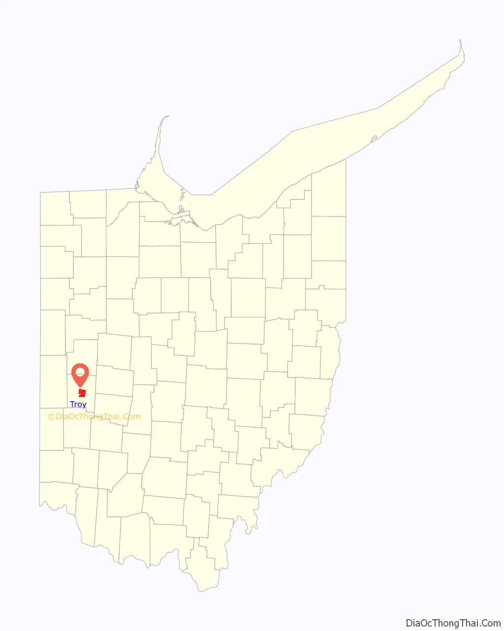
| State: | Ohio |
| County: | Miami County |
| Elevation: | 827 ft (252 m) |
| Total Area: | 12.43 sq mi (32.19 km²) |
| Land Area: | 12.21 sq mi (31.62 km²) |
| Water Area: | 0.22 sq mi (0.56 km²) |
| Total Population: | 26,305 |
| Population Density: | 2,154.38/sq mi (831.79/km²) |
| ZIP code: | 45373-45374 |
| Area code: | 937, 326 |
| FIPS code: | 3977588 |
| GNISfeature ID: | 1049252 |
| Website: | https://www.troyohio.gov/ |
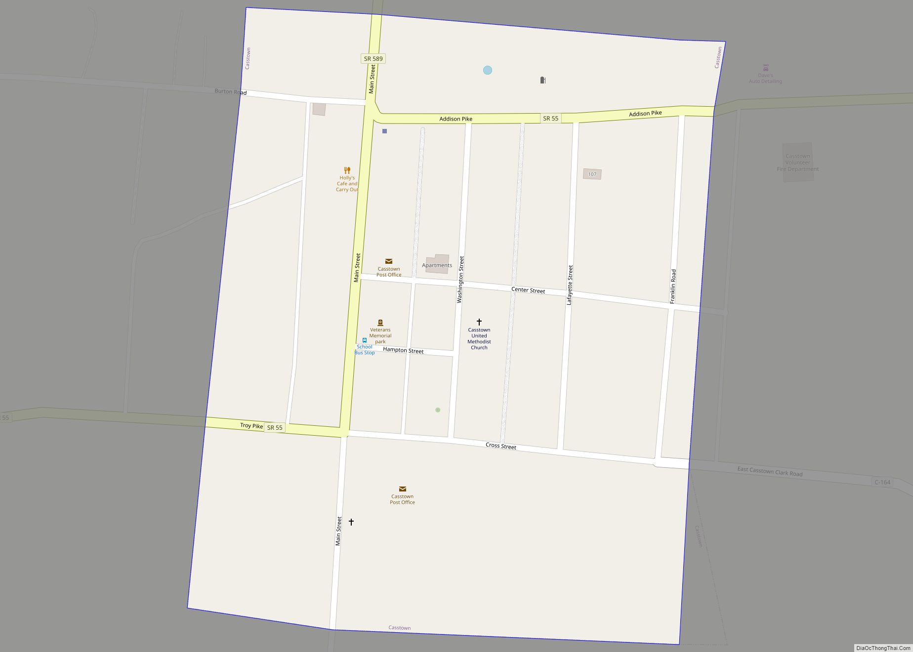
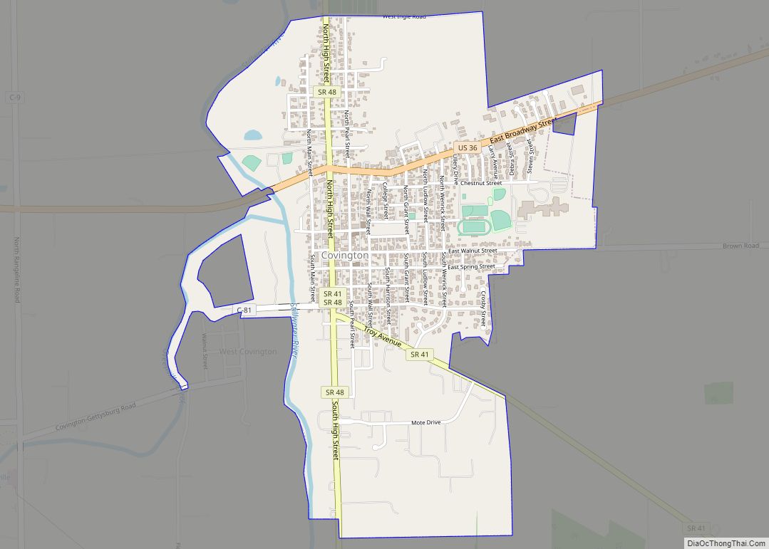
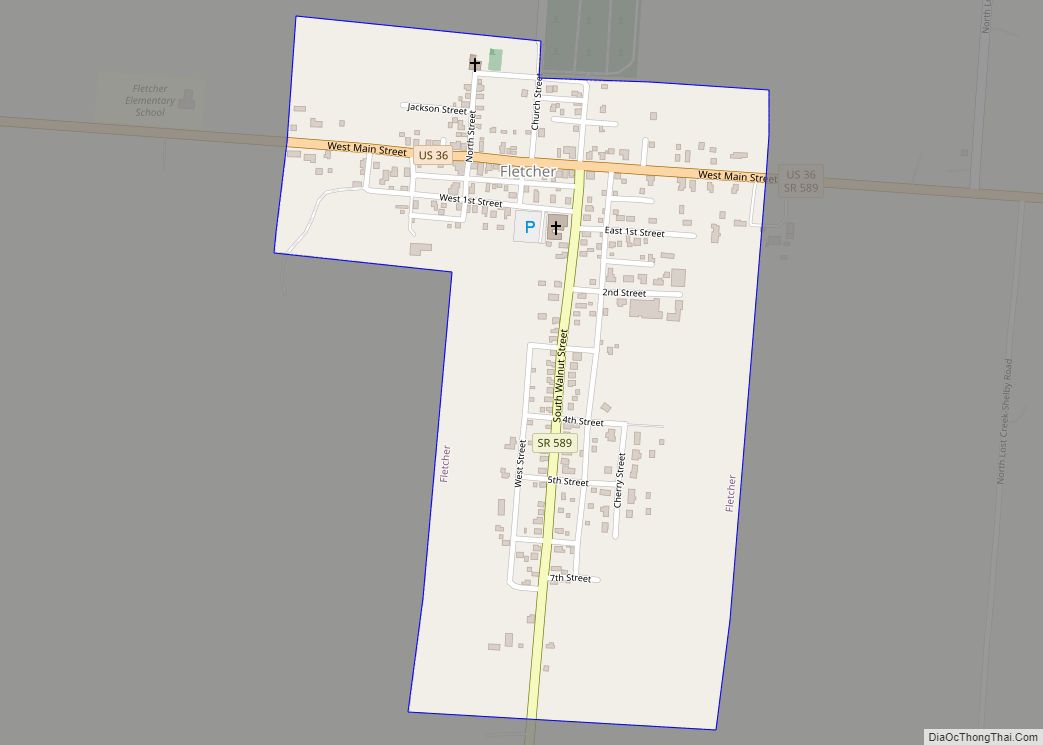
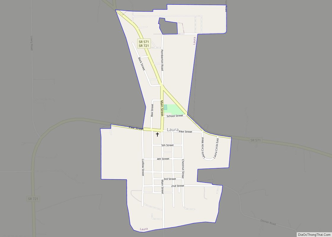
Online Interactive Map
Click on ![]() to view map in "full screen" mode.
to view map in "full screen" mode.
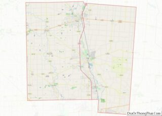
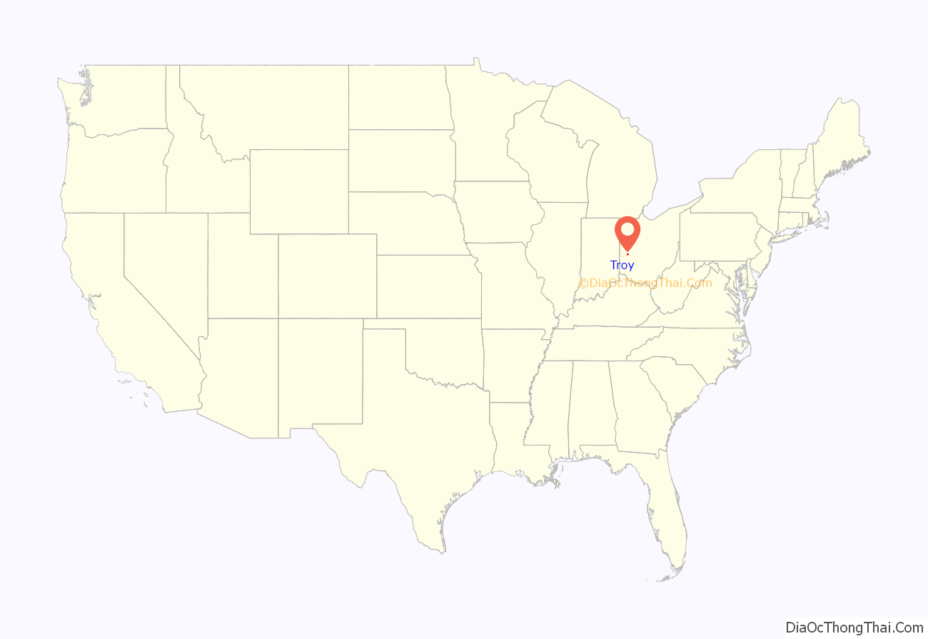
Troy location map. Where is Troy city?
History
Troy was platted around 1807. A post office in Troy has been in operation since 1824.
Troy was one of the cities affected by severe flooding in the Great Flood of 1913.
In 1970, the Troy Historical Society published Troy: The Nineteenth Century, a book on Troy’s history by Thomas Bemis Wheeler. The book discusses the city’s founding city and the Ohio canal era of the 1800s.
Historic sites
The city was the location of the Hobart Welded Steel House Company, which might have become influential in U.S. housing if prefabricated houses had become popular after World War II. The firm’s homes resemble the better-known Lustron houses of the Columbus, Ohio-based Lustron Corporation (which also failed). Hobart manufactured and built 22 homes, all in Troy, 16 of which survive and are listed on the U.S. National Register of Historic Places.
Other NRHP-listed properties in Troy include four unrelated homes, a tavern, the Miami County Courthouse and Power Station, the 1859 First Presbyterian Church, and the Troy Public Square.
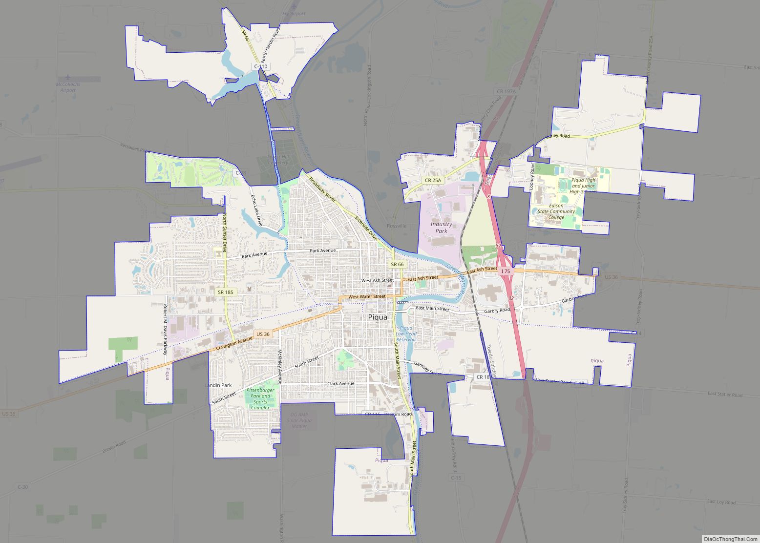
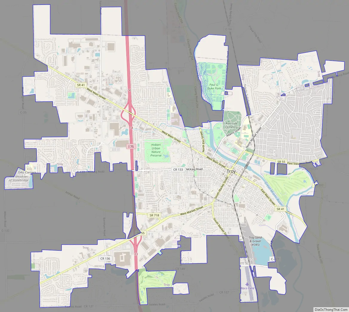
Troy Road Map
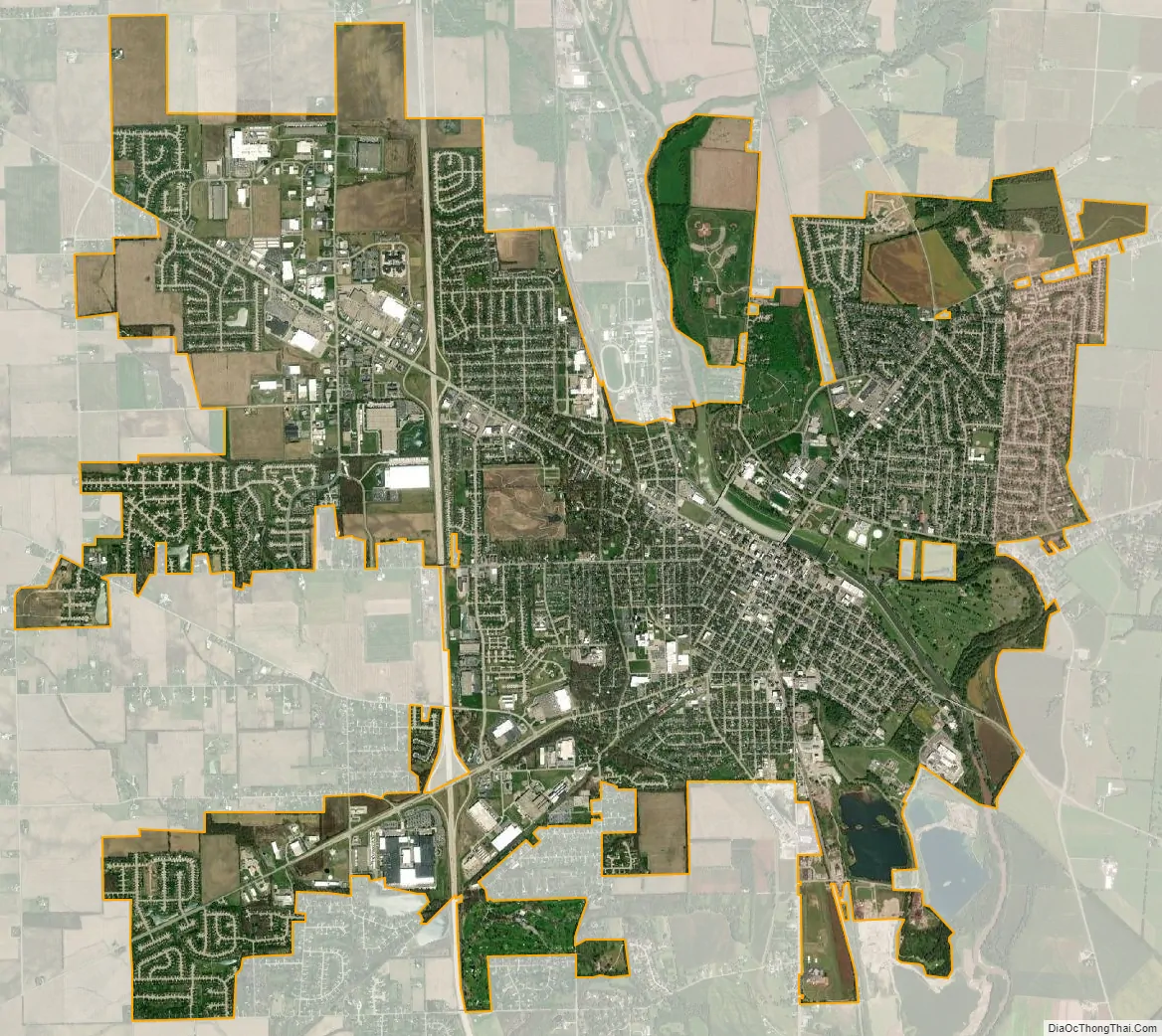
Troy city Satellite Map
Geography
Troy is located at 40°2′30″N 84°12′31″W / 40.04167°N 84.20861°W / 40.04167; -84.20861 (40.041621, -84.208627).
According to the United States Census Bureau, the city has an area of 11.94 square miles (30.92 km), of which 11.72 square miles (30.35 km) is land and 0.22 square miles (0.57 km) is water.
See also
Map of Ohio State and its subdivision:- Adams
- Allen
- Ashland
- Ashtabula
- Athens
- Auglaize
- Belmont
- Brown
- Butler
- Carroll
- Champaign
- Clark
- Clermont
- Clinton
- Columbiana
- Coshocton
- Crawford
- Cuyahoga
- Darke
- Defiance
- Delaware
- Erie
- Fairfield
- Fayette
- Franklin
- Fulton
- Gallia
- Geauga
- Greene
- Guernsey
- Hamilton
- Hancock
- Hardin
- Harrison
- Henry
- Highland
- Hocking
- Holmes
- Huron
- Jackson
- Jefferson
- Knox
- Lake
- Lake Erie
- Lawrence
- Licking
- Logan
- Lorain
- Lucas
- Madison
- Mahoning
- Marion
- Medina
- Meigs
- Mercer
- Miami
- Monroe
- Montgomery
- Morgan
- Morrow
- Muskingum
- Noble
- Ottawa
- Paulding
- Perry
- Pickaway
- Pike
- Portage
- Preble
- Putnam
- Richland
- Ross
- Sandusky
- Scioto
- Seneca
- Shelby
- Stark
- Summit
- Trumbull
- Tuscarawas
- Union
- Van Wert
- Vinton
- Warren
- Washington
- Wayne
- Williams
- Wood
- Wyandot
- Alabama
- Alaska
- Arizona
- Arkansas
- California
- Colorado
- Connecticut
- Delaware
- District of Columbia
- Florida
- Georgia
- Hawaii
- Idaho
- Illinois
- Indiana
- Iowa
- Kansas
- Kentucky
- Louisiana
- Maine
- Maryland
- Massachusetts
- Michigan
- Minnesota
- Mississippi
- Missouri
- Montana
- Nebraska
- Nevada
- New Hampshire
- New Jersey
- New Mexico
- New York
- North Carolina
- North Dakota
- Ohio
- Oklahoma
- Oregon
- Pennsylvania
- Rhode Island
- South Carolina
- South Dakota
- Tennessee
- Texas
- Utah
- Vermont
- Virginia
- Washington
- West Virginia
- Wisconsin
- Wyoming