Wickliffe is a city in Lake County, Ohio, United States. The population was 12,652 at the 2020 census.
| Name: | Wickliffe city |
|---|---|
| LSAD Code: | 25 |
| LSAD Description: | city (suffix) |
| State: | Ohio |
| County: | Lake County |
| Elevation: | 768 ft (234 m) |
| Total Area: | 4.63 sq mi (11.99 km²) |
| Land Area: | 4.61 sq mi (11.94 km²) |
| Water Area: | 0.02 sq mi (0.06 km²) |
| Total Population: | 12,652 |
| Population Density: | 2,745.06/sq mi (1,059.91/km²) |
| ZIP code: | 44092 |
| Area code: | 440 |
| FIPS code: | 3985036 |
| GNISfeature ID: | 1061775 |
| Website: | www.cityofwickliffe.com |
Online Interactive Map
Click on ![]() to view map in "full screen" mode.
to view map in "full screen" mode.
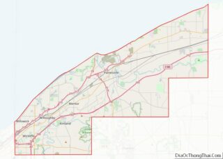
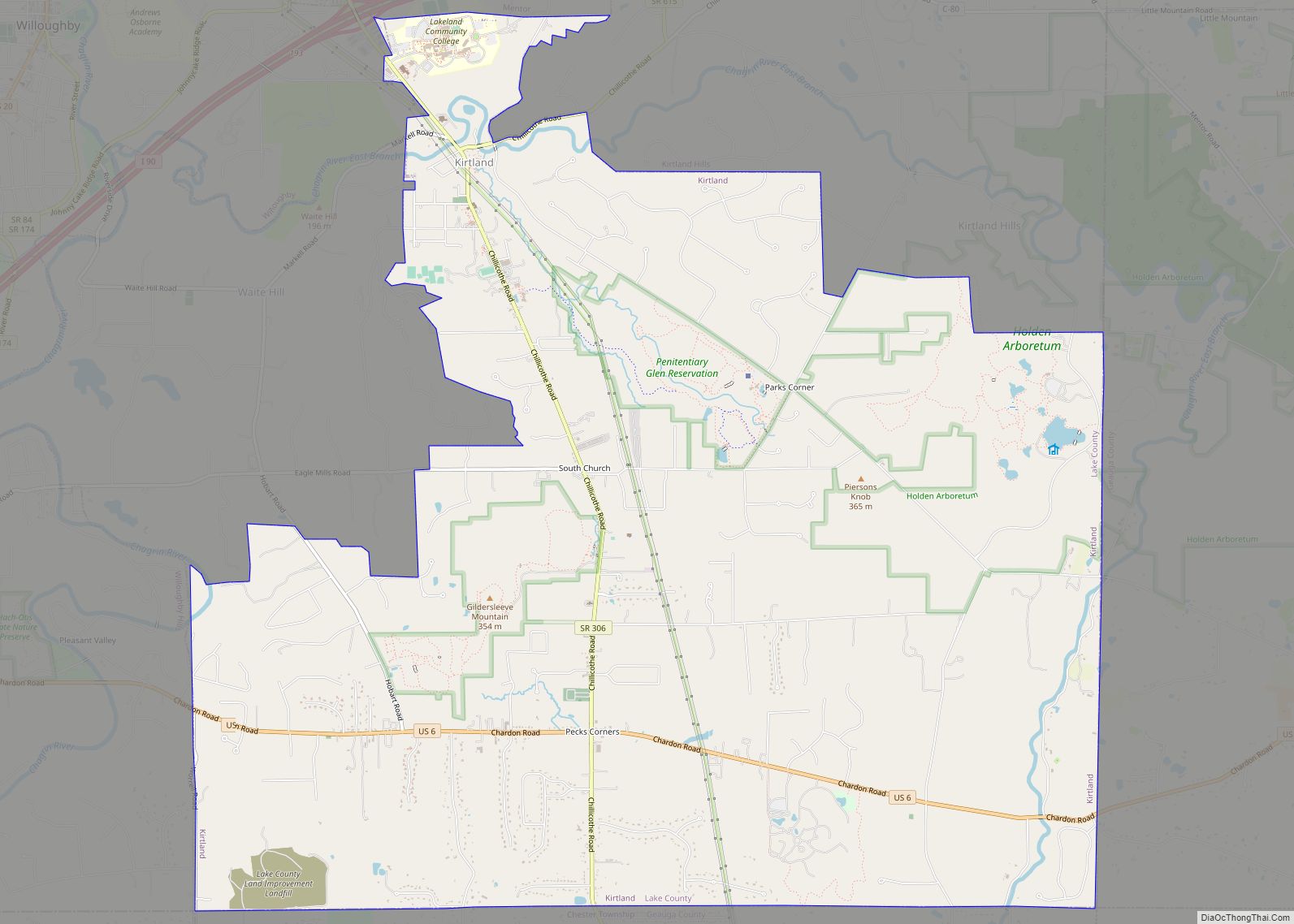
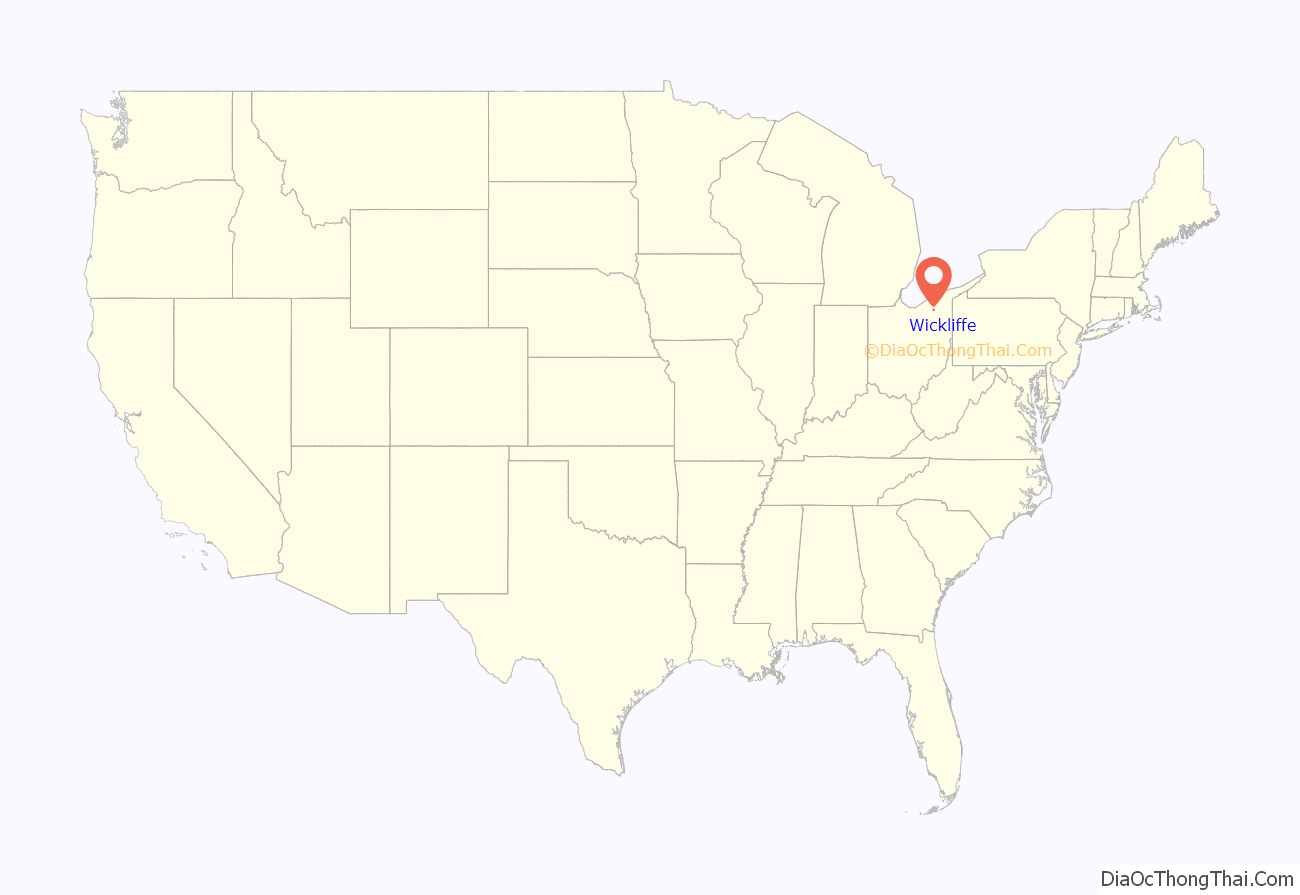
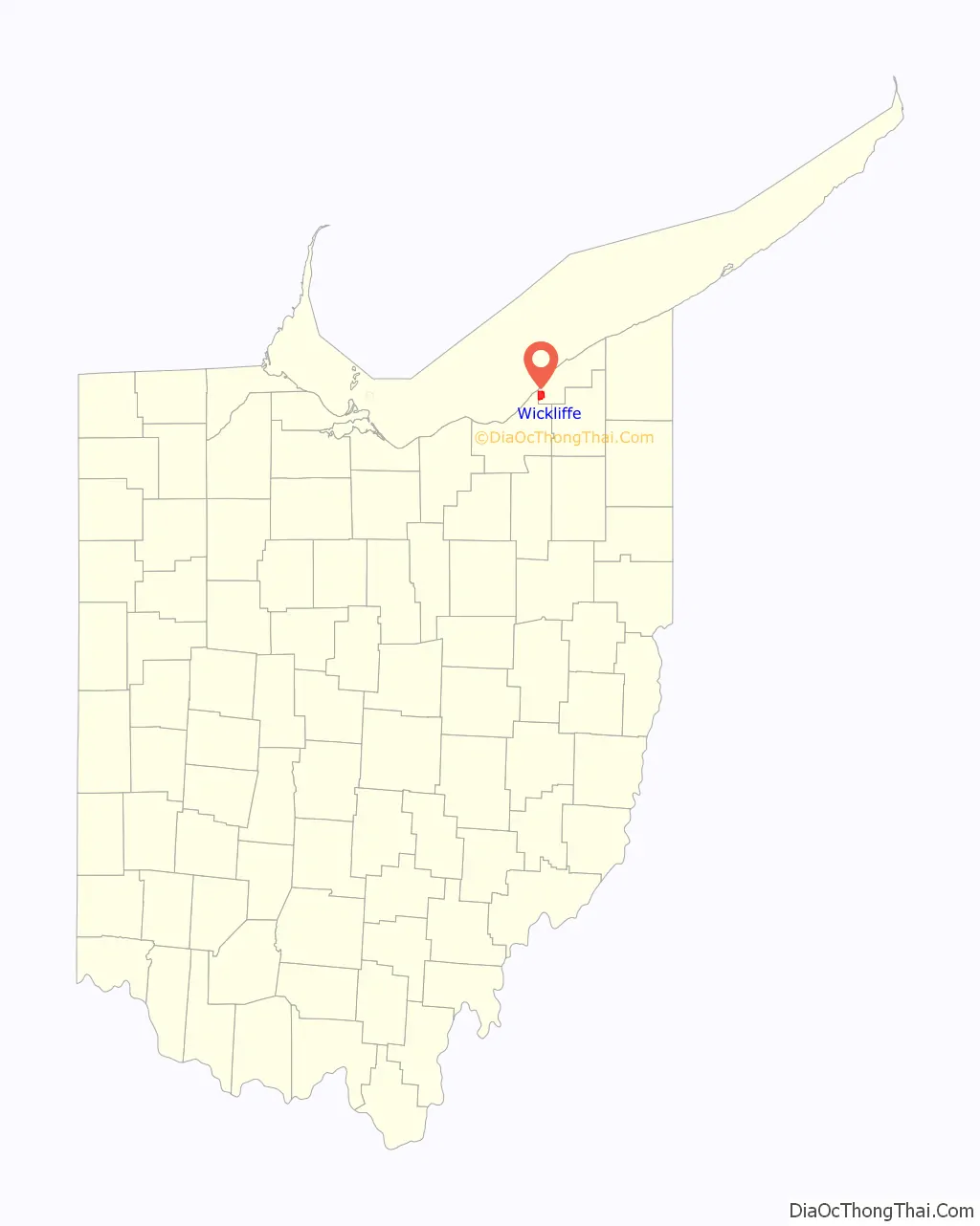
Wickliffe location map. Where is Wickliffe city?
History
A post office called Wickliffe has been in operation since 1843. The city was named after Charles A. Wickliffe, 11th United States Postmaster General.
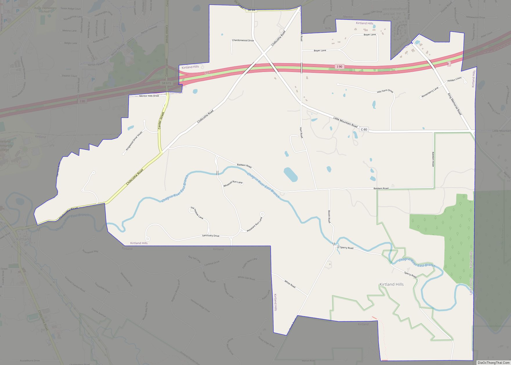
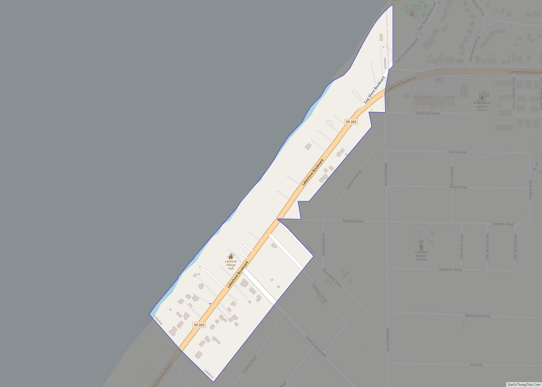
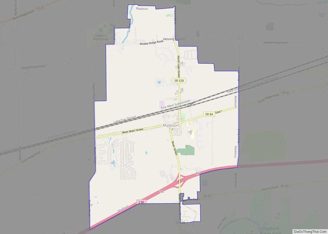
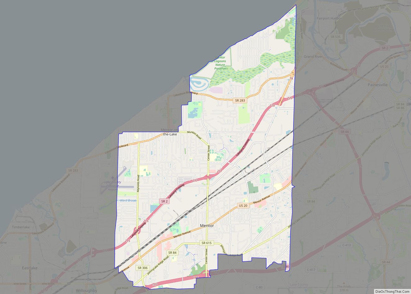
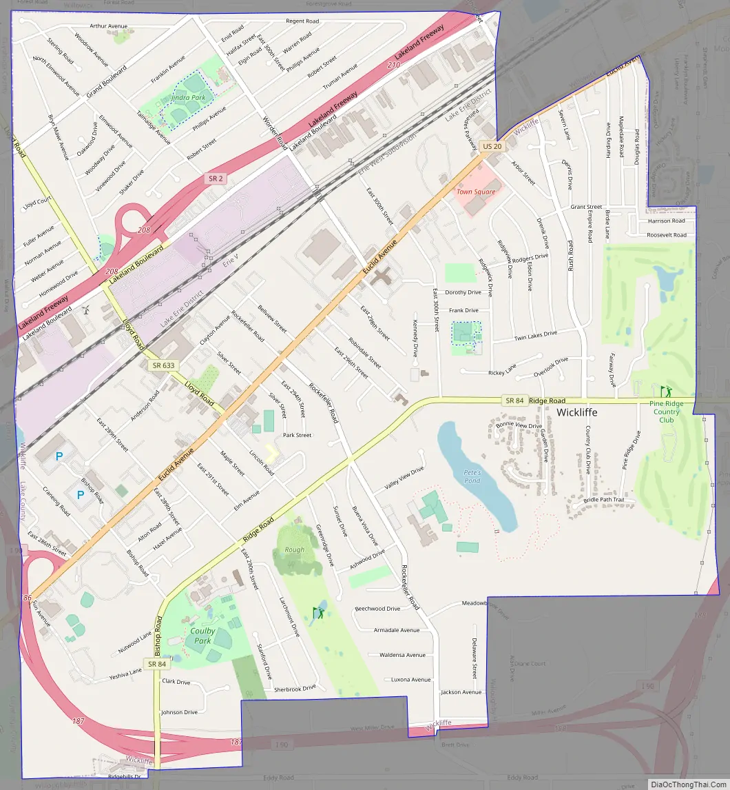
Wickliffe Road Map
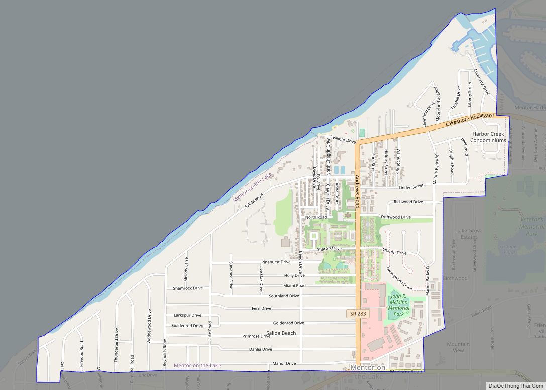
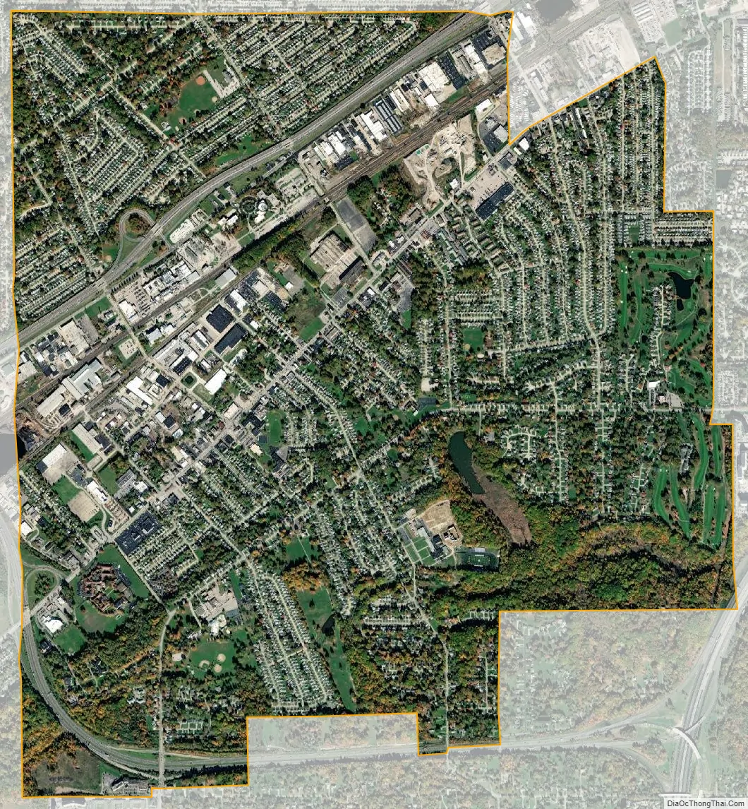
Wickliffe city Satellite Map
Geography
Wickliffe is located at 41°36′34″N 81°28′22″W / 41.60944°N 81.47278°W / 41.60944; -81.47278 (41.609398, -81.472905).
According to the United States Census Bureau, the city has a total area of 4.66 square miles (12.07 km), of which 4.64 square miles (12.02 km) is land and 0.02 square miles (0.05 km) is water.
It is landlocked due to the neighboring cities of Euclid and Willowick (to which it partially lent its name); it also borders Willoughby. Eastlake and Richmond Heights are also located close by.
See also
Map of Ohio State and its subdivision:- Adams
- Allen
- Ashland
- Ashtabula
- Athens
- Auglaize
- Belmont
- Brown
- Butler
- Carroll
- Champaign
- Clark
- Clermont
- Clinton
- Columbiana
- Coshocton
- Crawford
- Cuyahoga
- Darke
- Defiance
- Delaware
- Erie
- Fairfield
- Fayette
- Franklin
- Fulton
- Gallia
- Geauga
- Greene
- Guernsey
- Hamilton
- Hancock
- Hardin
- Harrison
- Henry
- Highland
- Hocking
- Holmes
- Huron
- Jackson
- Jefferson
- Knox
- Lake
- Lake Erie
- Lawrence
- Licking
- Logan
- Lorain
- Lucas
- Madison
- Mahoning
- Marion
- Medina
- Meigs
- Mercer
- Miami
- Monroe
- Montgomery
- Morgan
- Morrow
- Muskingum
- Noble
- Ottawa
- Paulding
- Perry
- Pickaway
- Pike
- Portage
- Preble
- Putnam
- Richland
- Ross
- Sandusky
- Scioto
- Seneca
- Shelby
- Stark
- Summit
- Trumbull
- Tuscarawas
- Union
- Van Wert
- Vinton
- Warren
- Washington
- Wayne
- Williams
- Wood
- Wyandot
- Alabama
- Alaska
- Arizona
- Arkansas
- California
- Colorado
- Connecticut
- Delaware
- District of Columbia
- Florida
- Georgia
- Hawaii
- Idaho
- Illinois
- Indiana
- Iowa
- Kansas
- Kentucky
- Louisiana
- Maine
- Maryland
- Massachusetts
- Michigan
- Minnesota
- Mississippi
- Missouri
- Montana
- Nebraska
- Nevada
- New Hampshire
- New Jersey
- New Mexico
- New York
- North Carolina
- North Dakota
- Ohio
- Oklahoma
- Oregon
- Pennsylvania
- Rhode Island
- South Carolina
- South Dakota
- Tennessee
- Texas
- Utah
- Vermont
- Virginia
- Washington
- West Virginia
- Wisconsin
- Wyoming