Yellow Springs is a village in Greene County, Ohio, United States. The population was 3,697 at the 2020 census. It is part of the Dayton Metropolitan Statistical Area. It is home to Antioch College.
| Name: | Yellow Springs village |
|---|---|
| LSAD Code: | 47 |
| LSAD Description: | village (suffix) |
| State: | Ohio |
| County: | Greene County |
| Total Area: | 2.75 sq mi (7.13 km²) |
| Land Area: | 2.75 sq mi (7.13 km²) |
| Water Area: | 0.00 sq mi (0.00 km²) |
| Total Population: | 3,697 |
| Population Density: | 1,343.39/sq mi (518.73/km²) |
| ZIP code: | 45387 |
| Area code: | 937, 326 |
| FIPS code: | 3986940 |
| Website: | yso.com |
Online Interactive Map
Click on ![]() to view map in "full screen" mode.
to view map in "full screen" mode.
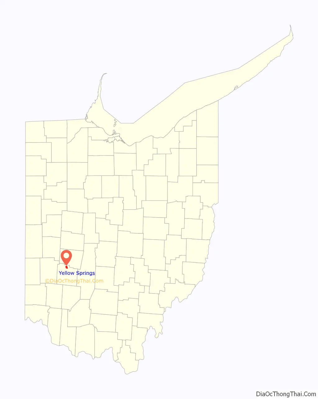
Yellow Springs location map. Where is Yellow Springs village?
History
In 1825, the village was founded by William Mills and approximately 100 families, followers of Robert Owen, who wanted to emulate the utopian community at New Harmony, Indiana.
The village was named after nearby natural springs with waters high in iron content.
The communitarian efforts dissolved due to internal conflicts.
The completion of the Little Miami Railroad in 1846 brought increased commerce, inhabitants, and tourism to this area of Greene County. Many regular visitors of the 19th century came for the springs, as these were believed to have medicinal benefits. The village of Yellow Springs was incorporated in 1856.
Antioch College
Antioch College was founded in 1850 by the Christian Connection, and began operating in 1853 with the distinguished scholar Horace Mann as its first president.
In 1920, Arthur E. Morgan became president of Antioch College; he was known for his innovations and implemented a much-imitated work-study program for students. An engineer by training, Morgan left Antioch to become head of the Tennessee Valley Authority during President Franklin D. Roosevelt’s administration. Upon his return to Yellow Springs, Morgan was a key leader of Quaker intentional community developments in Ohio and North Carolina.
In 1926, the Antioch Publishing Company was founded by two then-current Antioch College students as “The Antioch Bookplate Company”. It expanded and began selling children’s books, gifts, and craft products before selling the publishing company in 2008 to rebrand as Creative Memories and focus on gift items. The remaining Yellow Spring facility of Creative Memories closed in 2012.
Antioch College expanded beginning in 1964, to include 38 “centers” around the country by the end of 1979. Its by-laws were changed to define Antioch as a “network”, not a college, owned by Antioch University Corporation. In 1986, 32 of its units around the country were closed, leaving six campuses, which included both its original College campus in Yellow Springs and the college’s School of Adult and Experiential Learning there. It operated separately as Antioch University McGregor. That adult and graduate education school was renamed as Antioch University Midwest in 1988. It closed in late 2020.
In 2008, citing financial exigency, the university closed the college campus in Yellow Springs. College alumni, forming the Antioch College Continuation Corporation, bought back the college’s name and campus. They reopened in 2011 as the independent Antioch College.
Now, Antioch University and Antioch College are wholly separate institutions.
Freed slaves
The Conway Colony, a group of 30 freed slaves who were transported by Moncure D. Conway, the abolitionist son of their former owner, were settled in this village in 1862.
Wheeling Gaunt, a former slave who had purchased his own freedom, came to Yellow Springs in the 1860s. By his death in 1894, he owned a substantial amount of land. Gaunt bequeathed to the village a large piece of land on its western side, requesting that the rent be used to buy flour for the “poor and worthy widows” of Yellow Springs. Although the land was used to create Gaunt Park, and thus does not generate rent, the village expanded the bequest to include sugar. It still delivers flour and sugar to the village’s widows at Christmas time, a tradition that generates annual media coverage.
Activism
During the Red Scare of the 1950s, Yellow Springs and Antioch College came under scrutiny for alleged sympathies of faculty and students to the Communist Party, due to many locals’ support of left-wing politics. After being questioned by the Ohio House Un-American Activities Committee, Antioch president Douglas McGregor released a statement in 1952 that “Antioch upholds the American tradition of academic freedom. This means the right to hear and investigate all sides of any question, including the question of Russia and Communism”.
By the late 1960s and early 1970s, the village became a center of activity for the Civil Rights Movement and anti-war movement in southwestern Ohio. Villagers have retained a progressive cast in their politics, attracting new residents with similar ideas and establishing a unique sociopolitical demographic element in a primarily conservative region of the state.
In 1979, Yellow Springs held the distinction of being the smallest municipality to pass an ordinance prohibiting discrimination based on sexual orientation. As of 2014, it had the largest LGBT population of all Ohio’s villages.
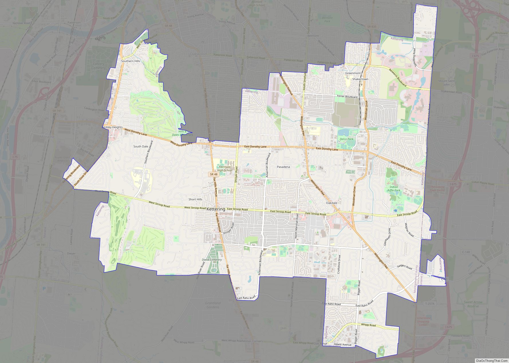
Yellow Springs Road Map
Yellow Springs city Satellite Map
Geography
Yellow Springs is located at 39°48′6″N 83°53′34″W / 39.80167°N 83.89278°W / 39.80167; -83.89278 (39.801723, −83.892662). According to the United States Census Bureau, the village has a total area of 2.02 square miles (5.23 km), all of it land.
The village takes its name from a nearby natural spring whose waters are rich in iron, leaving a yellowish-orange coloring on the rocks. Now included within the nearby Glen Helen Nature Preserve, in the mid-19th century, it became the center of a resort. In this period, many individuals traveled to areas of such springs, believing the waters had medicinal benefits.
See also
Map of Ohio State and its subdivision:- Adams
- Allen
- Ashland
- Ashtabula
- Athens
- Auglaize
- Belmont
- Brown
- Butler
- Carroll
- Champaign
- Clark
- Clermont
- Clinton
- Columbiana
- Coshocton
- Crawford
- Cuyahoga
- Darke
- Defiance
- Delaware
- Erie
- Fairfield
- Fayette
- Franklin
- Fulton
- Gallia
- Geauga
- Greene
- Guernsey
- Hamilton
- Hancock
- Hardin
- Harrison
- Henry
- Highland
- Hocking
- Holmes
- Huron
- Jackson
- Jefferson
- Knox
- Lake
- Lake Erie
- Lawrence
- Licking
- Logan
- Lorain
- Lucas
- Madison
- Mahoning
- Marion
- Medina
- Meigs
- Mercer
- Miami
- Monroe
- Montgomery
- Morgan
- Morrow
- Muskingum
- Noble
- Ottawa
- Paulding
- Perry
- Pickaway
- Pike
- Portage
- Preble
- Putnam
- Richland
- Ross
- Sandusky
- Scioto
- Seneca
- Shelby
- Stark
- Summit
- Trumbull
- Tuscarawas
- Union
- Van Wert
- Vinton
- Warren
- Washington
- Wayne
- Williams
- Wood
- Wyandot
- Alabama
- Alaska
- Arizona
- Arkansas
- California
- Colorado
- Connecticut
- Delaware
- District of Columbia
- Florida
- Georgia
- Hawaii
- Idaho
- Illinois
- Indiana
- Iowa
- Kansas
- Kentucky
- Louisiana
- Maine
- Maryland
- Massachusetts
- Michigan
- Minnesota
- Mississippi
- Missouri
- Montana
- Nebraska
- Nevada
- New Hampshire
- New Jersey
- New Mexico
- New York
- North Carolina
- North Dakota
- Ohio
- Oklahoma
- Oregon
- Pennsylvania
- Rhode Island
- South Carolina
- South Dakota
- Tennessee
- Texas
- Utah
- Vermont
- Virginia
- Washington
- West Virginia
- Wisconsin
- Wyoming

