Bridgewater is a city in southwestern McCook County, South Dakota, United States. The population was 511 at the 2020 census.
| Name: | Bridgewater city |
|---|---|
| LSAD Code: | 25 |
| LSAD Description: | city (suffix) |
| State: | South Dakota |
| County: | McCook County |
| Incorporated: | 1889 |
| Elevation: | 1,417 ft (432 m) |
| Total Area: | 1.13 sq mi (2.91 km²) |
| Land Area: | 1.13 sq mi (2.91 km²) |
| Water Area: | 0.00 sq mi (0.00 km²) |
| Total Population: | 511 |
| Population Density: | 454.22/sq mi (175.35/km²) |
| ZIP code: | 57319 |
| Area code: | 605 |
| FIPS code: | 4607180 |
| GNISfeature ID: | 1254060 |
| Website: | bridgewatersd.com |
Online Interactive Map
Click on ![]() to view map in "full screen" mode.
to view map in "full screen" mode.
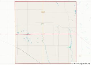
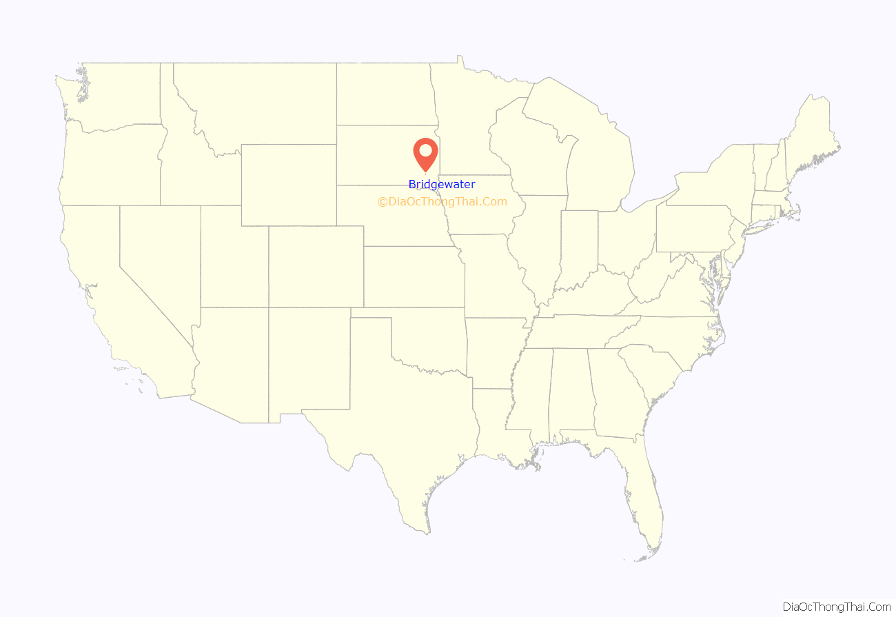
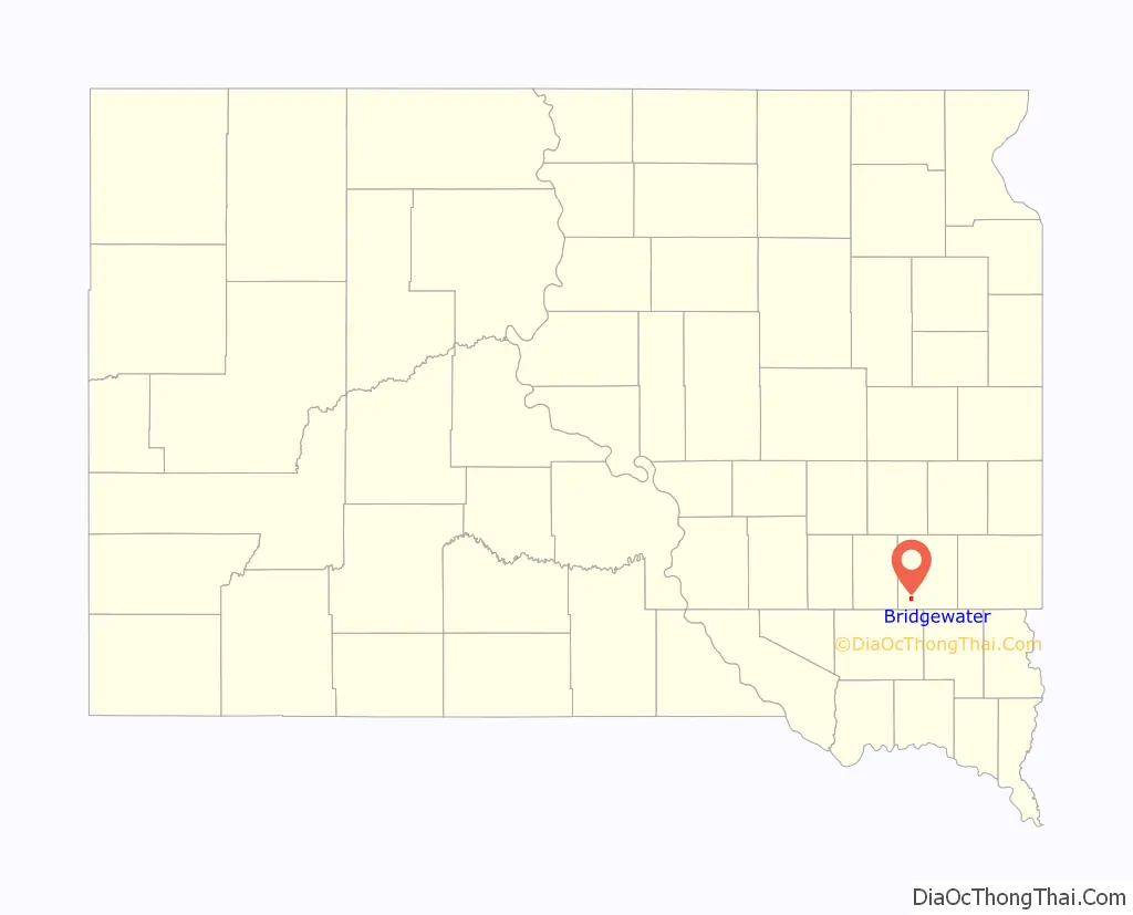
Bridgewater location map. Where is Bridgewater city?
History
Originally named Nation, the present name recalls an episode when water had to be carried to the town site for the railroad. A post office called Nation was established in 1880, and the name was changed that same year to Bridgewater.
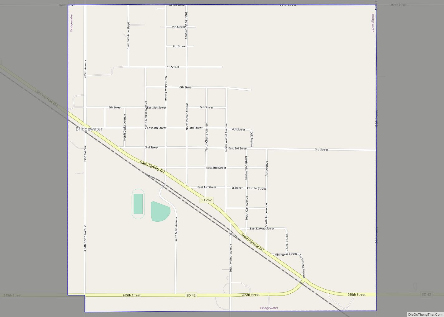
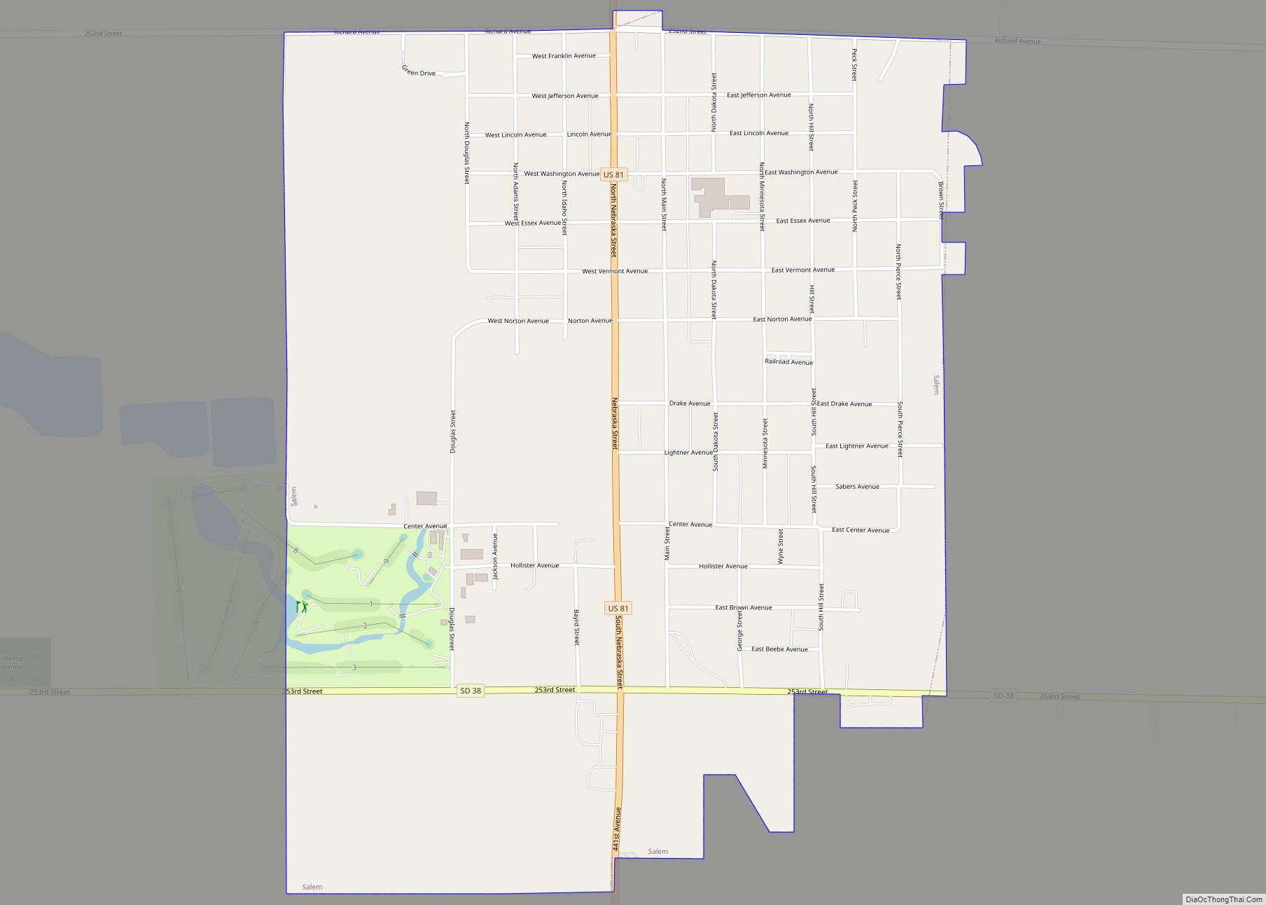
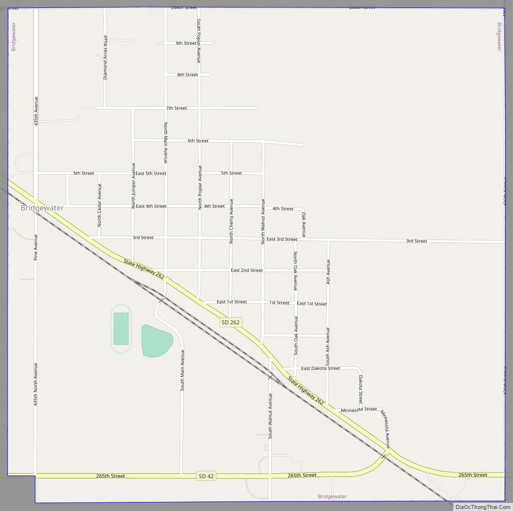
Bridgewater Road Map
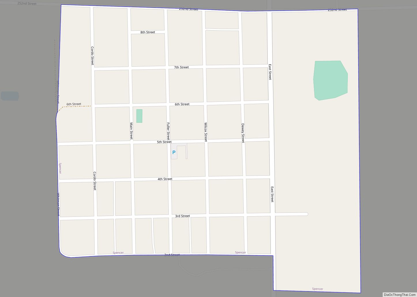
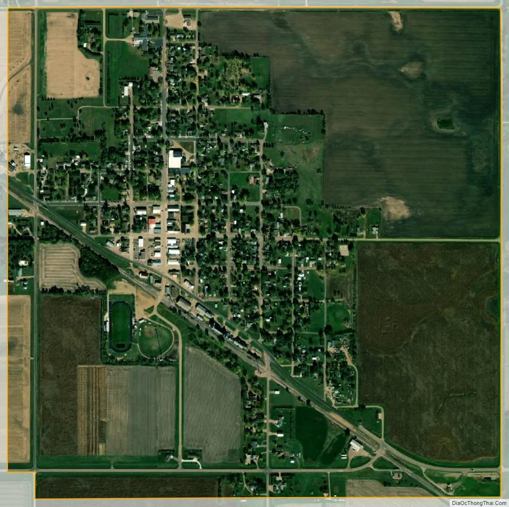
Bridgewater city Satellite Map
Geography
Bridgewater is located at 43°33′1″N 97°30′1″W / 43.55028°N 97.50028°W / 43.55028; -97.50028 (43.550192, -97.500319).
According to the United States Census Bureau, the city has a total area of 1.13 square miles (2.93 km), all land.
Bridgewater has been assigned the ZIP code 57319, and the FIPS place code 07180.
See also
Map of South Dakota State and its subdivision:- Aurora
- Beadle
- Bennett
- Bon Homme
- Brookings
- Brown
- Brule
- Buffalo
- Butte
- Campbell
- Charles Mix
- Clark
- Clay
- Codington
- Corson
- Custer
- Davison
- Day
- Deuel
- Dewey
- Douglas
- Edmunds
- Fall River
- Faulk
- Grant
- Gregory
- Haakon
- Hamlin
- Hand
- Hanson
- Harding
- Hughes
- Hutchinson
- Hyde
- Jackson
- Jerauld
- Jones
- Kingsbury
- Lake
- Lawrence
- Lincoln
- Lyman
- Marshall
- McCook
- McPherson
- Meade
- Mellette
- Miner
- Minnehaha
- Moody
- Pennington
- Perkins
- Potter
- Roberts
- Sanborn
- Shannon
- Spink
- Stanley
- Sully
- Todd
- Tripp
- Turner
- Union
- Walworth
- Yankton
- Ziebach
- Alabama
- Alaska
- Arizona
- Arkansas
- California
- Colorado
- Connecticut
- Delaware
- District of Columbia
- Florida
- Georgia
- Hawaii
- Idaho
- Illinois
- Indiana
- Iowa
- Kansas
- Kentucky
- Louisiana
- Maine
- Maryland
- Massachusetts
- Michigan
- Minnesota
- Mississippi
- Missouri
- Montana
- Nebraska
- Nevada
- New Hampshire
- New Jersey
- New Mexico
- New York
- North Carolina
- North Dakota
- Ohio
- Oklahoma
- Oregon
- Pennsylvania
- Rhode Island
- South Carolina
- South Dakota
- Tennessee
- Texas
- Utah
- Vermont
- Virginia
- Washington
- West Virginia
- Wisconsin
- Wyoming