Centerville is a city in Turner County, South Dakota, United States. The population was 918 at the 2020 census. Centerville is part of the Sioux Falls, South Dakota metropolitan area.
| Name: | Centerville city |
|---|---|
| LSAD Code: | 25 |
| LSAD Description: | city (suffix) |
| State: | South Dakota |
| County: | Turner County |
| Incorporated: | 1894 |
| Elevation: | 1,227 ft (374 m) |
| Total Area: | 0.72 sq mi (1.86 km²) |
| Land Area: | 0.72 sq mi (1.86 km²) |
| Water Area: | 0.00 sq mi (0.00 km²) |
| Total Population: | 918 |
| Population Density: | 1,275.00/sq mi (492.60/km²) |
| ZIP code: | 57014 |
| Area code: | 605 |
| FIPS code: | 4611060 |
| GNISfeature ID: | 1267023 |
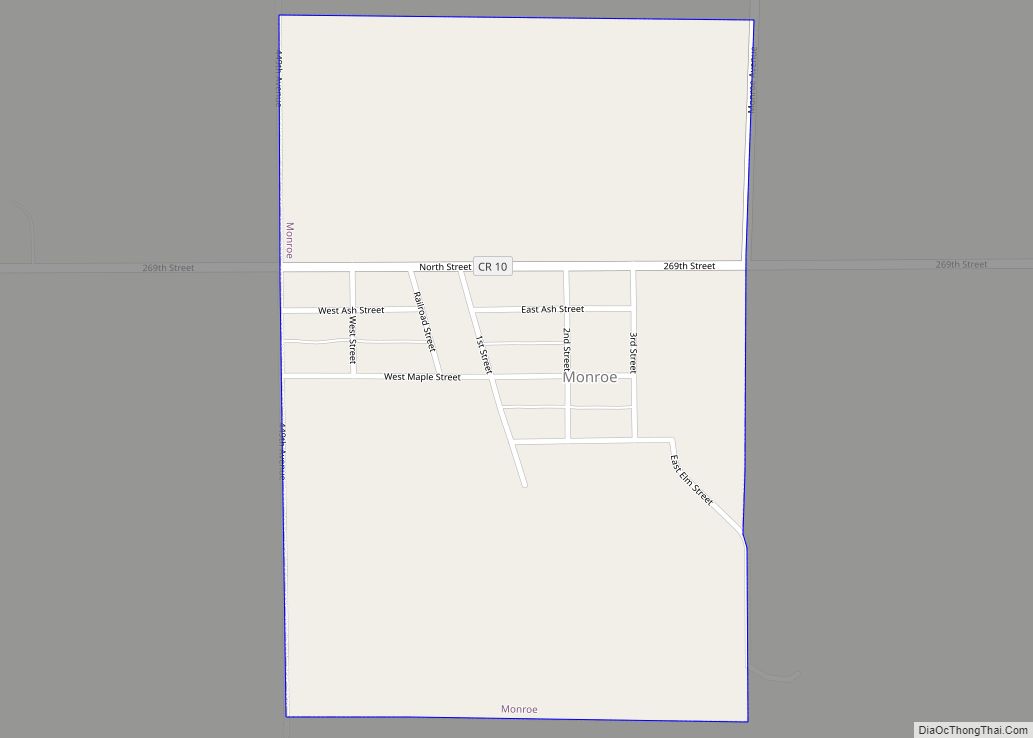
Online Interactive Map
Click on ![]() to view map in "full screen" mode.
to view map in "full screen" mode.
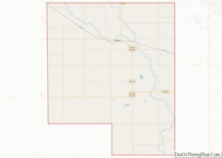
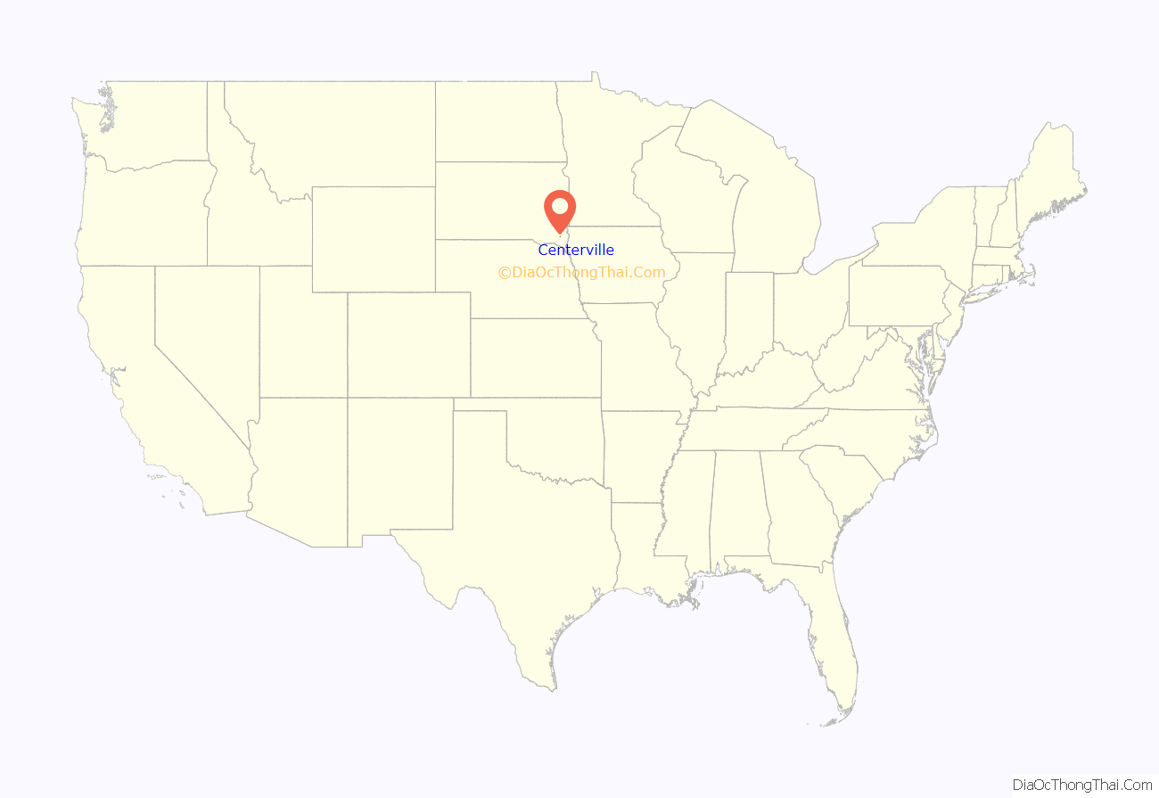
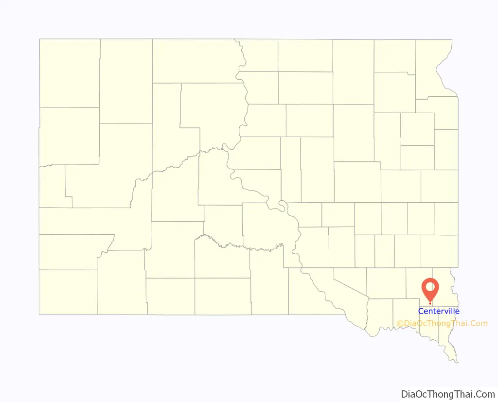
Centerville location map. Where is Centerville city?
History
Centerville was platted in 1883. It was named due to its location between Parker and Vermillion.
One of the most powerful tornadoes in the 2003 South Dakota tornado outbreak was located around Centerville and was rated an F-2 on the Fujita scale. It had maximum winds of 135 miles per hour and caused damage in the town of Centerville and surrounding areas. No fatalities were reported with this tornado. Along with the F-2 tornado that was reported, 19 other tornadoes touched down within a 50-mile radius of Centerville.
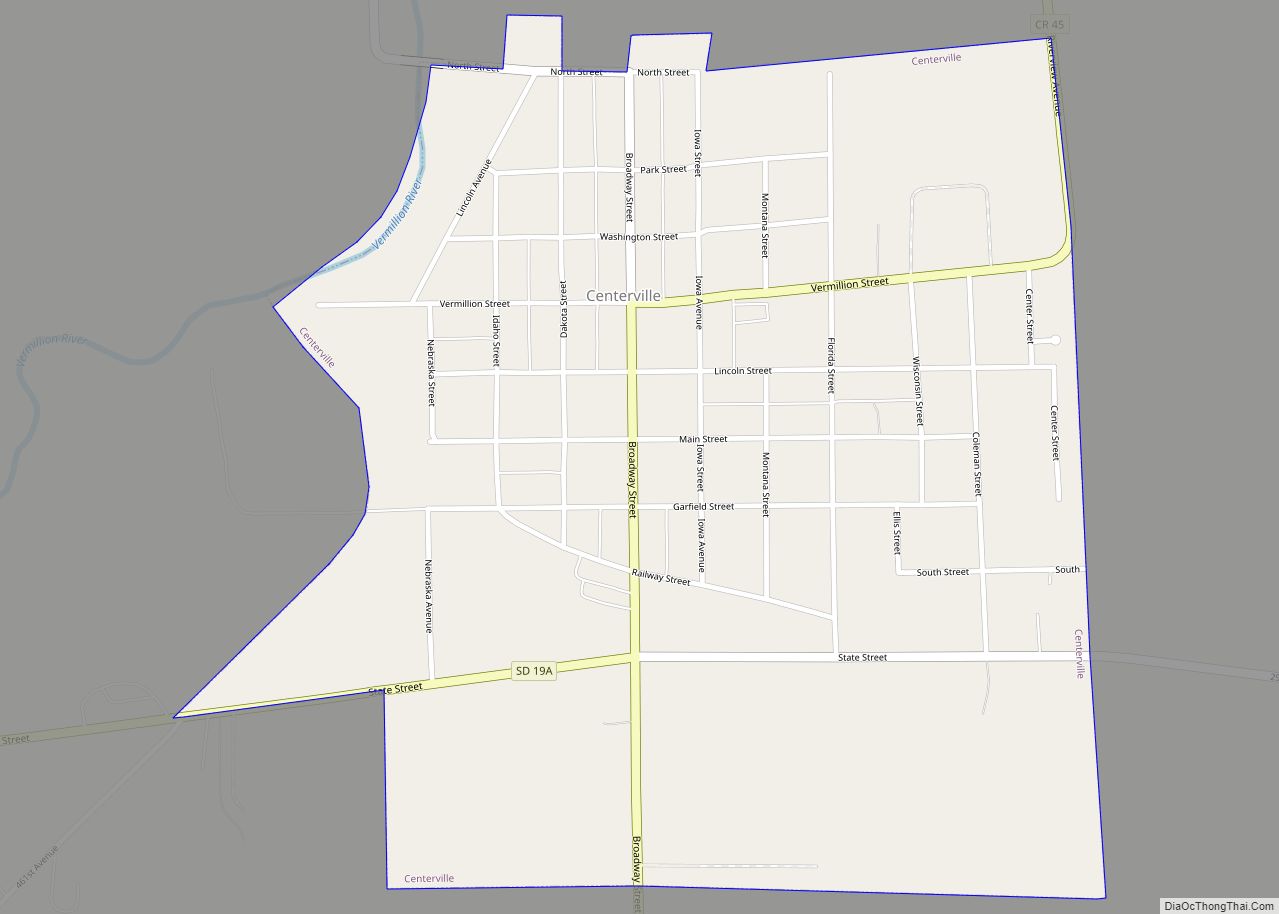
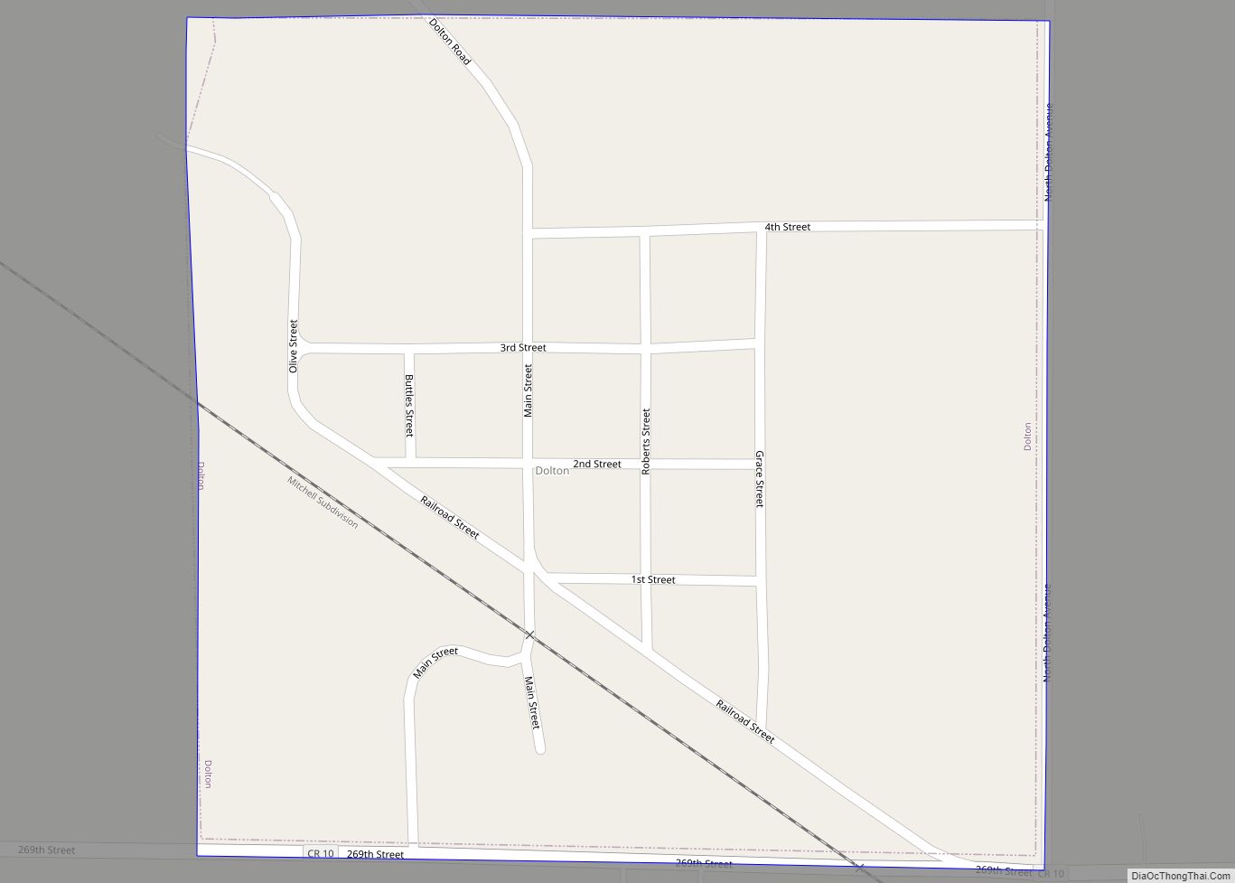
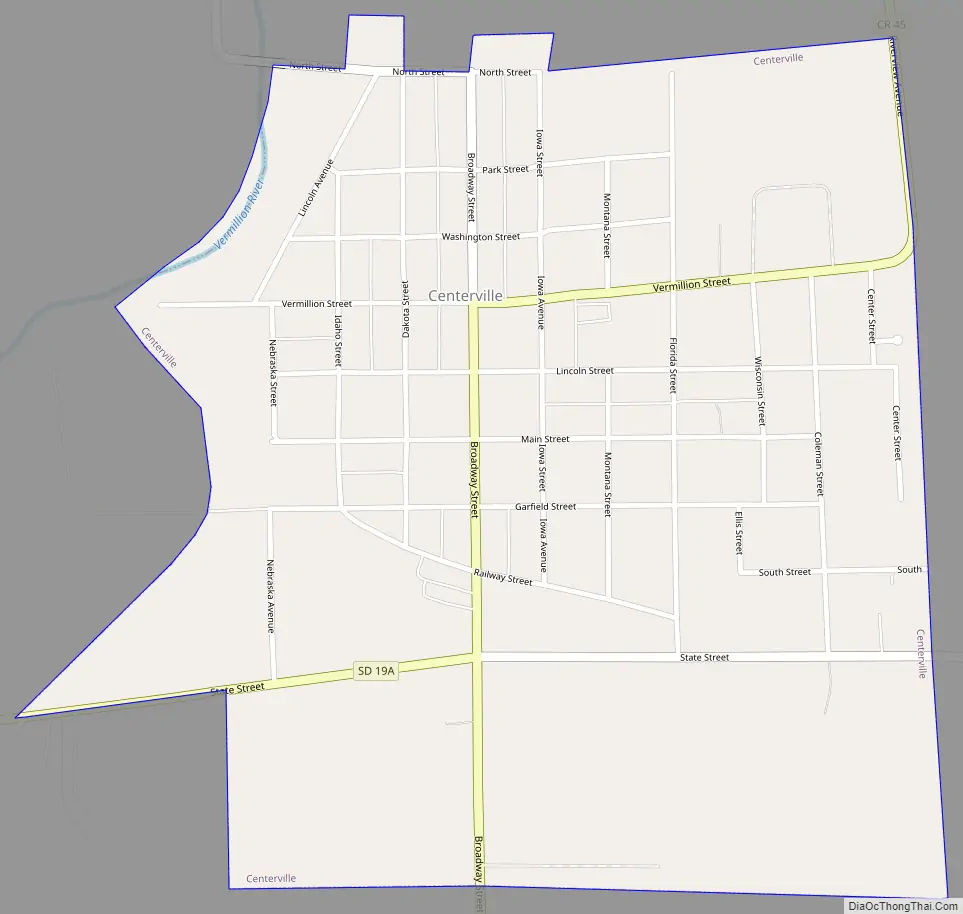
Centerville Road Map
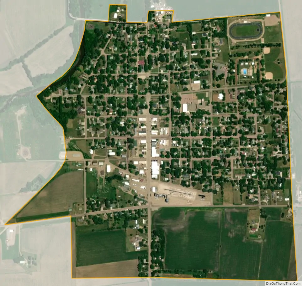
Centerville city Satellite Map
Geography
Centerville is located at 43°7′3″N 96°57′38″W / 43.11750°N 96.96056°W / 43.11750; -96.96056 (43.117631, -96.960644).
According to the United States Census Bureau, the city has a total area of 0.72 square miles (1.86 km), all land.
Centerville has been assigned the ZIP code 57014 and the FIPS place code 11060.
Climate
See also
Map of South Dakota State and its subdivision:- Aurora
- Beadle
- Bennett
- Bon Homme
- Brookings
- Brown
- Brule
- Buffalo
- Butte
- Campbell
- Charles Mix
- Clark
- Clay
- Codington
- Corson
- Custer
- Davison
- Day
- Deuel
- Dewey
- Douglas
- Edmunds
- Fall River
- Faulk
- Grant
- Gregory
- Haakon
- Hamlin
- Hand
- Hanson
- Harding
- Hughes
- Hutchinson
- Hyde
- Jackson
- Jerauld
- Jones
- Kingsbury
- Lake
- Lawrence
- Lincoln
- Lyman
- Marshall
- McCook
- McPherson
- Meade
- Mellette
- Miner
- Minnehaha
- Moody
- Pennington
- Perkins
- Potter
- Roberts
- Sanborn
- Shannon
- Spink
- Stanley
- Sully
- Todd
- Tripp
- Turner
- Union
- Walworth
- Yankton
- Ziebach
- Alabama
- Alaska
- Arizona
- Arkansas
- California
- Colorado
- Connecticut
- Delaware
- District of Columbia
- Florida
- Georgia
- Hawaii
- Idaho
- Illinois
- Indiana
- Iowa
- Kansas
- Kentucky
- Louisiana
- Maine
- Maryland
- Massachusetts
- Michigan
- Minnesota
- Mississippi
- Missouri
- Montana
- Nebraska
- Nevada
- New Hampshire
- New Jersey
- New Mexico
- New York
- North Carolina
- North Dakota
- Ohio
- Oklahoma
- Oregon
- Pennsylvania
- Rhode Island
- South Carolina
- South Dakota
- Tennessee
- Texas
- Utah
- Vermont
- Virginia
- Washington
- West Virginia
- Wisconsin
- Wyoming