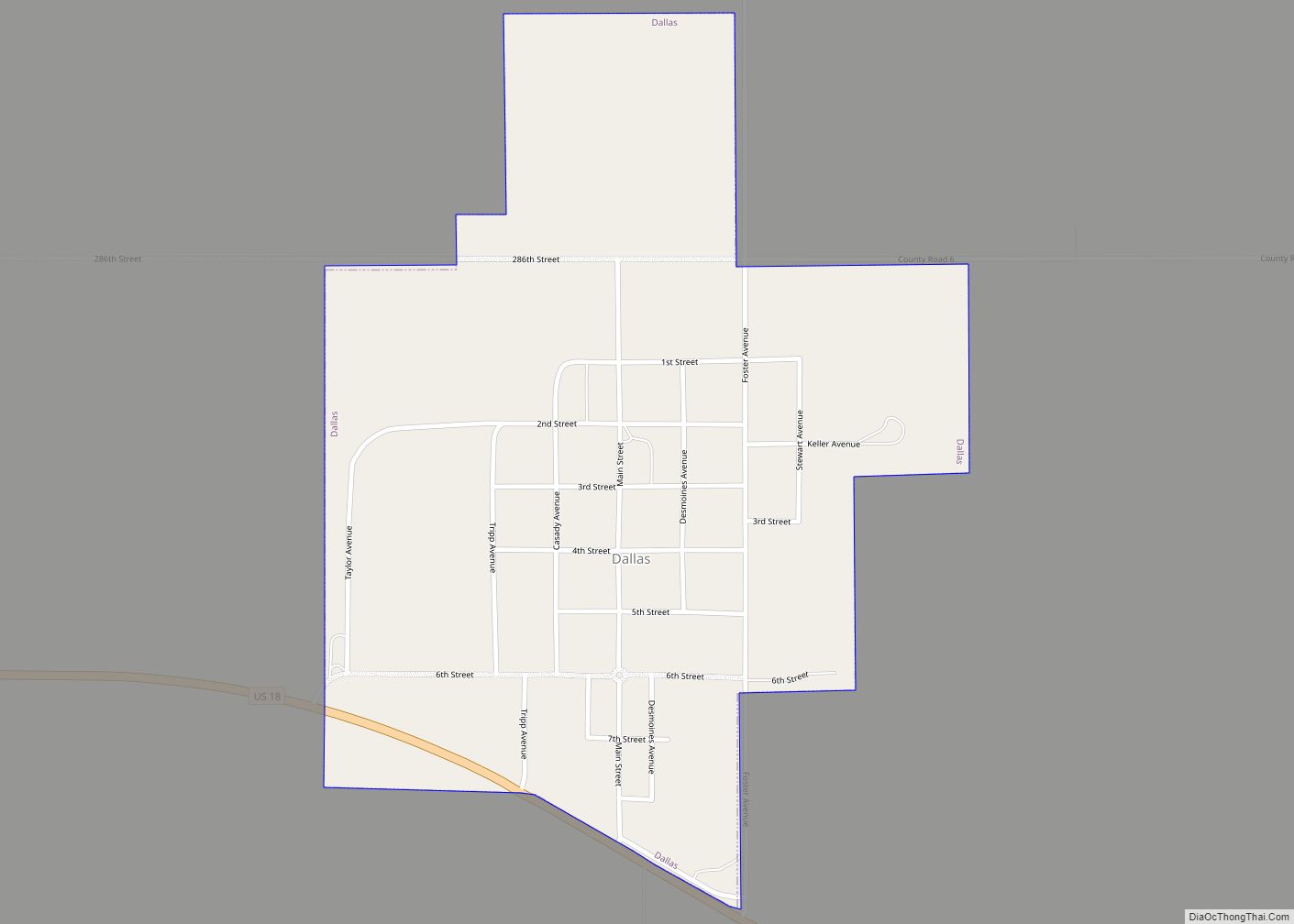
Dallas is a town in Gregory County, South Dakota, United States. The population was 89 at the 2020 census.
| Name: | Dallas town |
|---|---|
| LSAD Code: | 43 |
| LSAD Description: | town (suffix) |
| State: | South Dakota |
| County: | Gregory County |
| Incorporated: | 1908 |
| Elevation: | 2,234 ft (681 m) |
| Total Area: | 0.51 sq mi (1.31 km²) |
| Land Area: | 0.51 sq mi (1.31 km²) |
| Water Area: | 0.00 sq mi (0.00 km²) |
| Total Population: | 89 |
| Population Density: | 175.54/sq mi (67.84/km²) |
| ZIP code: | 57529 |
| Area code: | 605 |
| FIPS code: | 4615300 |
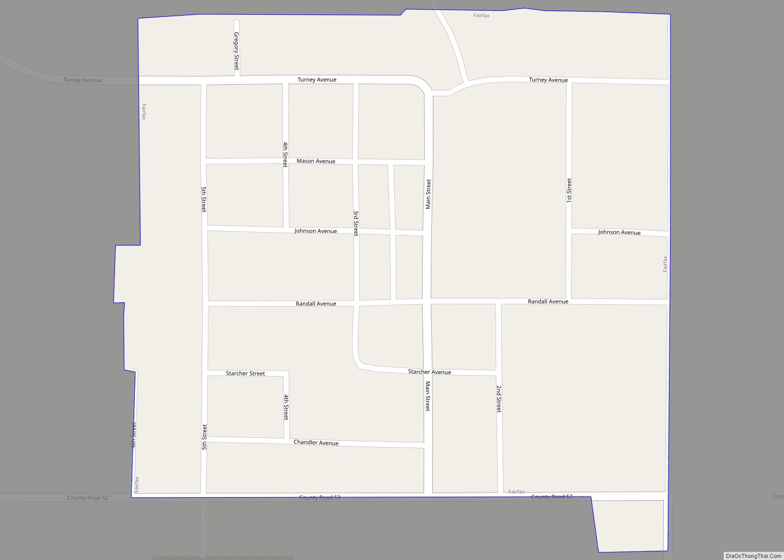
Online Interactive Map
Click on ![]() to view map in "full screen" mode.
to view map in "full screen" mode.
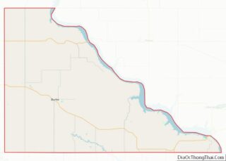
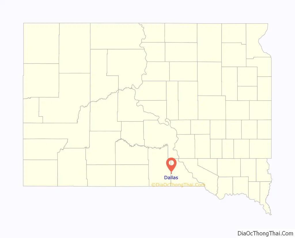
Dallas location map. Where is Dallas town?

History
Dallas was platted in 1907. A post office called Dallas was established in 1904, and remained in operation until it was discontinued in 1973. The town was named after Dallas, Texas.
Dallas Road Map

Dallas city Satellite Map

Geography
Dallas is located in western Gregory County along U.S. Route 18, four miles west of Gregory. Ponca Creek flows past, approximately one mile south of the community.
According to the United States Census Bureau, the town has a total area of 0.51 square miles (1.32 km), all land.
Dallas has been assigned the ZIP code 57529 and the FIPS place code 15300.
See also
Map of South Dakota State and its subdivision:- Aurora
- Beadle
- Bennett
- Bon Homme
- Brookings
- Brown
- Brule
- Buffalo
- Butte
- Campbell
- Charles Mix
- Clark
- Clay
- Codington
- Corson
- Custer
- Davison
- Day
- Deuel
- Dewey
- Douglas
- Edmunds
- Fall River
- Faulk
- Grant
- Gregory
- Haakon
- Hamlin
- Hand
- Hanson
- Harding
- Hughes
- Hutchinson
- Hyde
- Jackson
- Jerauld
- Jones
- Kingsbury
- Lake
- Lawrence
- Lincoln
- Lyman
- Marshall
- McCook
- McPherson
- Meade
- Mellette
- Miner
- Minnehaha
- Moody
- Pennington
- Perkins
- Potter
- Roberts
- Sanborn
- Shannon
- Spink
- Stanley
- Sully
- Todd
- Tripp
- Turner
- Union
- Walworth
- Yankton
- Ziebach
- Alabama
- Alaska
- Arizona
- Arkansas
- California
- Colorado
- Connecticut
- Delaware
- District of Columbia
- Florida
- Georgia
- Hawaii
- Idaho
- Illinois
- Indiana
- Iowa
- Kansas
- Kentucky
- Louisiana
- Maine
- Maryland
- Massachusetts
- Michigan
- Minnesota
- Mississippi
- Missouri
- Montana
- Nebraska
- Nevada
- New Hampshire
- New Jersey
- New Mexico
- New York
- North Carolina
- North Dakota
- Ohio
- Oklahoma
- Oregon
- Pennsylvania
- Rhode Island
- South Carolina
- South Dakota
- Tennessee
- Texas
- Utah
- Vermont
- Virginia
- Washington
- West Virginia
- Wisconsin
- Wyoming