Hitchcock is a town in Beadle County, South Dakota, United States. The population was 112 at the 2020 census.
Hitchcock co-ops with the nearby town of Tulare for sports, making them the Hitchcock/Tulare Patriots.
| Name: | Hitchcock town |
|---|---|
| LSAD Code: | 43 |
| LSAD Description: | town (suffix) |
| State: | South Dakota |
| County: | Beadle County |
| Elevation: | 1,339 ft (408 m) |
| Total Area: | 0.27 sq mi (0.71 km²) |
| Land Area: | 0.27 sq mi (0.71 km²) |
| Water Area: | 0.00 sq mi (0.00 km²) |
| Total Population: | 112 |
| Population Density: | 410.26/sq mi (158.41/km²) |
| ZIP code: | 57348 |
| Area code: | 605 |
| FIPS code: | 4629500 |
| GNISfeature ID: | 1265251 |
| Website: | www.hitchcocksd.com |
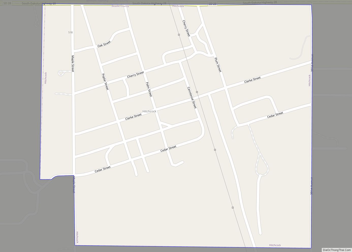
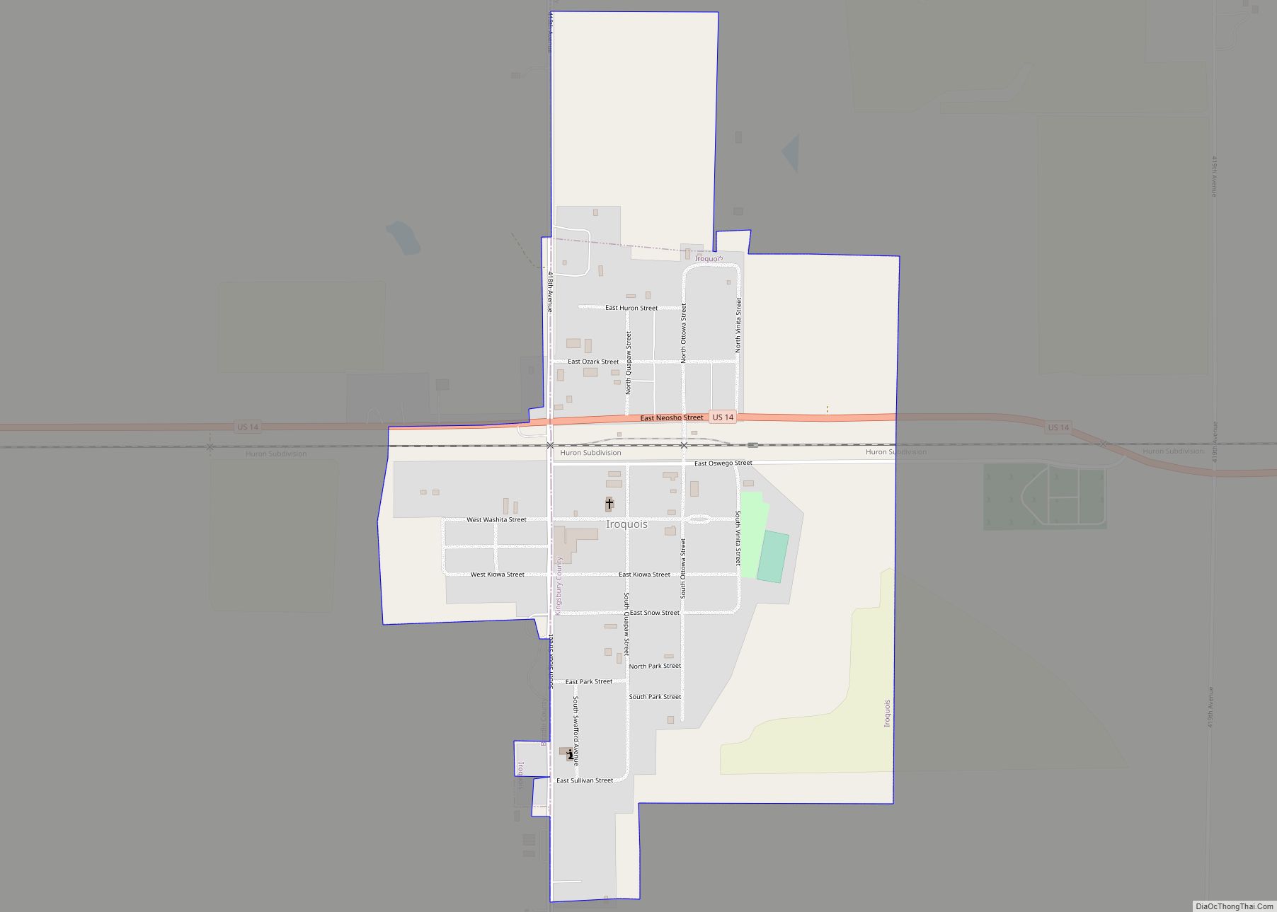
Online Interactive Map
Click on ![]() to view map in "full screen" mode.
to view map in "full screen" mode.
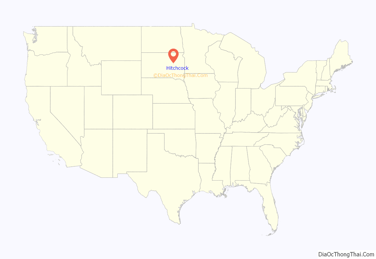
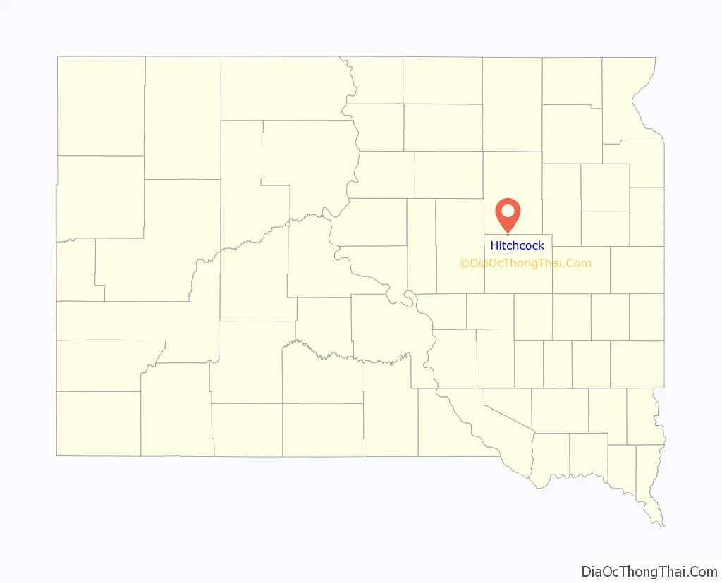
Hitchcock location map. Where is Hitchcock town?
History
Hitchcock was platted in 1881. Early variant names were Clarkville and Altoona. The present name honors Charles S. Hitchcock, an original owner of the town site. A post office has been in operation in Hitchcock since 1881.
Hitchcock Road Map
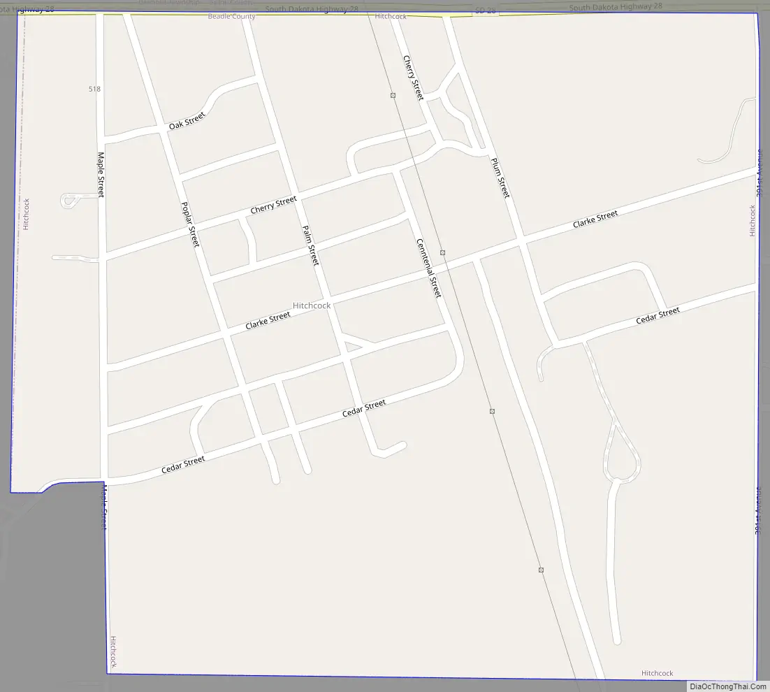
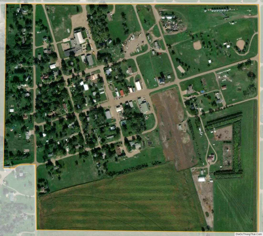
Hitchcock city Satellite Map
Geography
Hitchcock is located at 44°37′48″N 98°24′37″W / 44.63000°N 98.41028°W / 44.63000; -98.41028 (44.630123, -98.410259).
According to the United States Census Bureau, the town has a total area of 0.27 square miles (0.70 km), all land.
Hitchcock has been assigned the ZIP code 57348 and the FIPS place code 29500.
See also
Map of South Dakota State and its subdivision:- Aurora
- Beadle
- Bennett
- Bon Homme
- Brookings
- Brown
- Brule
- Buffalo
- Butte
- Campbell
- Charles Mix
- Clark
- Clay
- Codington
- Corson
- Custer
- Davison
- Day
- Deuel
- Dewey
- Douglas
- Edmunds
- Fall River
- Faulk
- Grant
- Gregory
- Haakon
- Hamlin
- Hand
- Hanson
- Harding
- Hughes
- Hutchinson
- Hyde
- Jackson
- Jerauld
- Jones
- Kingsbury
- Lake
- Lawrence
- Lincoln
- Lyman
- Marshall
- McCook
- McPherson
- Meade
- Mellette
- Miner
- Minnehaha
- Moody
- Pennington
- Perkins
- Potter
- Roberts
- Sanborn
- Shannon
- Spink
- Stanley
- Sully
- Todd
- Tripp
- Turner
- Union
- Walworth
- Yankton
- Ziebach
- Alabama
- Alaska
- Arizona
- Arkansas
- California
- Colorado
- Connecticut
- Delaware
- District of Columbia
- Florida
- Georgia
- Hawaii
- Idaho
- Illinois
- Indiana
- Iowa
- Kansas
- Kentucky
- Louisiana
- Maine
- Maryland
- Massachusetts
- Michigan
- Minnesota
- Mississippi
- Missouri
- Montana
- Nebraska
- Nevada
- New Hampshire
- New Jersey
- New Mexico
- New York
- North Carolina
- North Dakota
- Ohio
- Oklahoma
- Oregon
- Pennsylvania
- Rhode Island
- South Carolina
- South Dakota
- Tennessee
- Texas
- Utah
- Vermont
- Virginia
- Washington
- West Virginia
- Wisconsin
- Wyoming