Jefferson is a city in Union County, South Dakota, United States. The population was 475 at the 2020 census. It is part of the Sioux City, IA–NE-SD Metropolitan Statistical Area. Jefferson was founded in 1859. Every year the citizens of Jefferson and surrounding area celebrate the founding of Jefferson during the “Days of ’59”, a festival that includes softball, basketball, horseshoes, car show, fireworks and parade.
The city has the name of President Thomas Jefferson.
| Name: | Jefferson city |
|---|---|
| LSAD Code: | 25 |
| LSAD Description: | city (suffix) |
| State: | South Dakota |
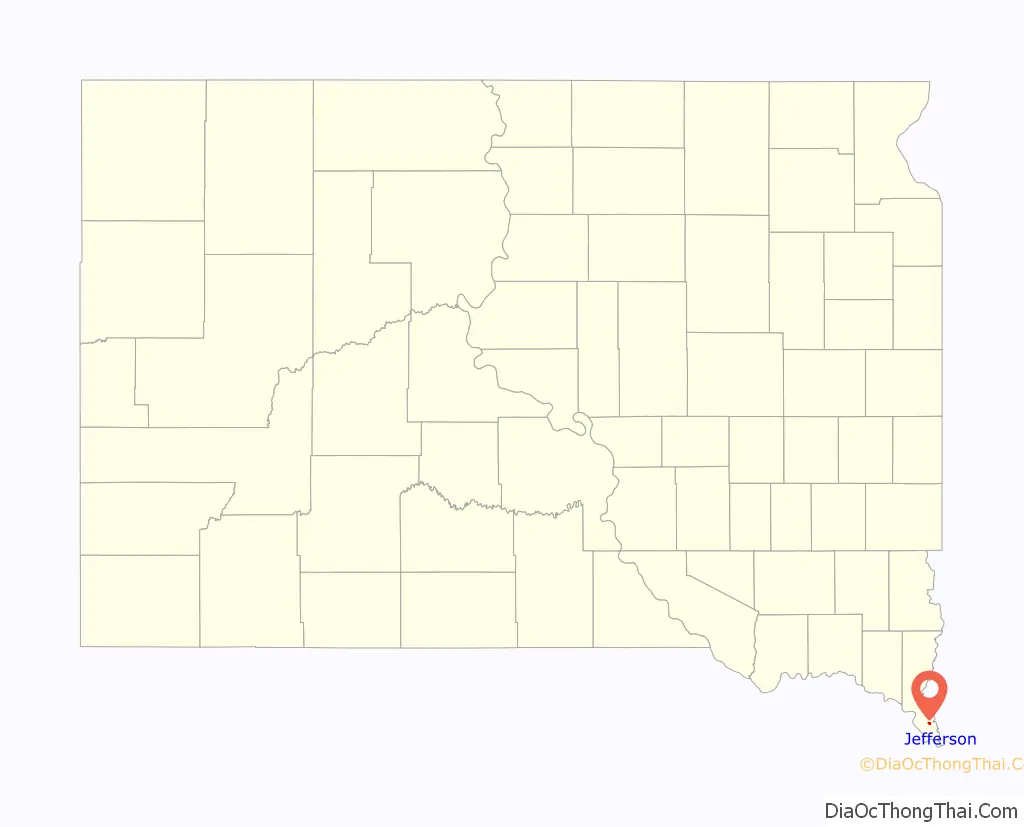
| County: | Union County |
| Incorporated: | 1895 |
| Elevation: | 1,115 ft (340 m) |
| Total Area: | 0.51 sq mi (1.32 km²) |
| Land Area: | 0.51 sq mi (1.32 km²) |
| Water Area: | 0.00 sq mi (0.00 km²) |
| Total Population: | 475 |
| Population Density: | 931.37/sq mi (359.27/km²) |
| ZIP code: | 57038 |
| Area code: | 605 |
| FIPS code: | 4632700 |
| GNISfeature ID: | 1255817 |
Online Interactive Map
Click on ![]() to view map in "full screen" mode.
to view map in "full screen" mode.
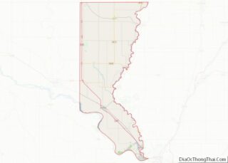
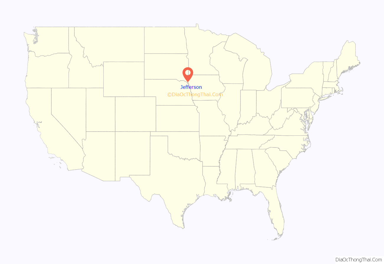
Jefferson location map. Where is Jefferson city?
History
Jefferson was primarily settled by French-Canadians. By 1867 the town consisted of 25 or so French-Canadian families. During the winter of 1880–1, the town was ravaged by a smallpox epidemic, reported to have arrived in the area via Russian Mennonite emigrants en route to Yankton, in the Dakota Territory. The town was quarantined for several weeks, without railroad service or mail delivery. At least 150 cases of “black small pox” were reported by February 1881, resulting in more than 82 deaths.
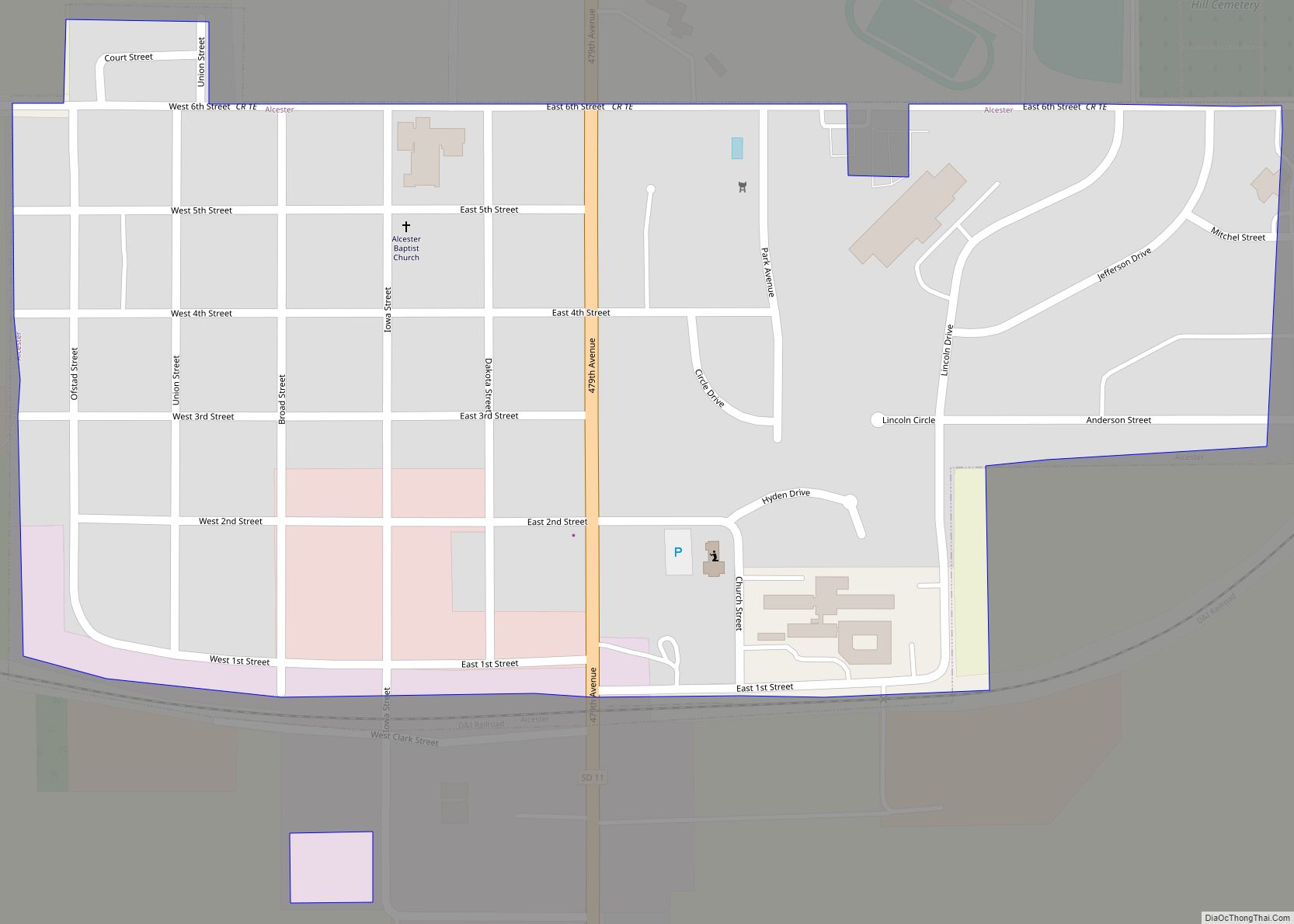
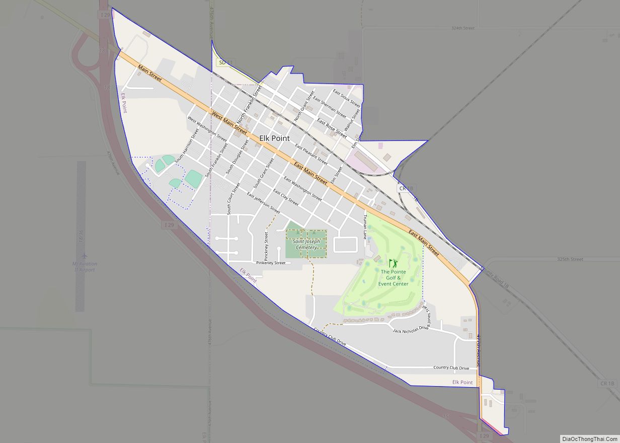
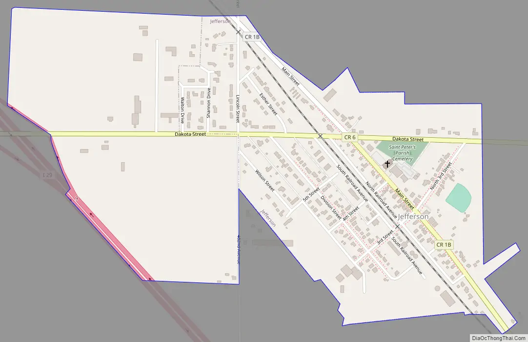
Jefferson Road Map
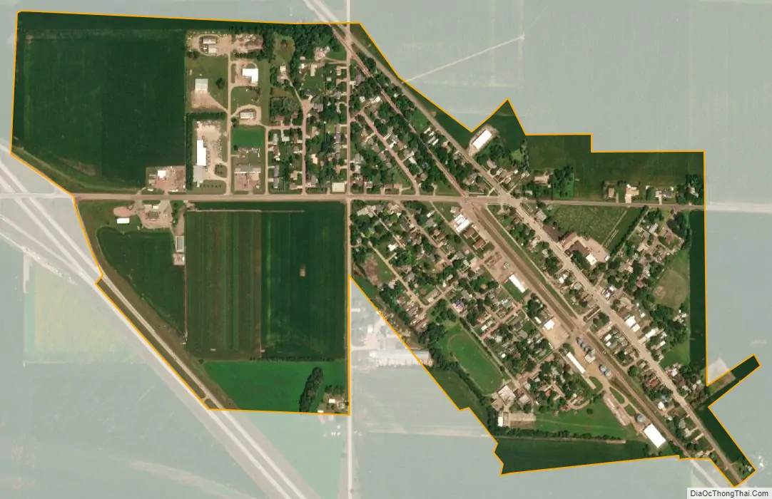
Jefferson city Satellite Map
Geography
Jefferson is located at 42°36′16″N 96°33′46″W / 42.60444°N 96.56278°W / 42.60444; -96.56278 (42.604514, -96.562823).
According to the United States Census Bureau, the city has a total area of 0.50 square miles (1.29 km), all land.
Jefferson has been assigned the ZIP code 57038 and the FIPS place code 32700.
The closest bodies of water are Horseshoe Lake, a small oxbow lake formed from the nearby river; McCook Lake, the Big Sioux River and the Missouri River.
See also
Map of South Dakota State and its subdivision:- Aurora
- Beadle
- Bennett
- Bon Homme
- Brookings
- Brown
- Brule
- Buffalo
- Butte
- Campbell
- Charles Mix
- Clark
- Clay
- Codington
- Corson
- Custer
- Davison
- Day
- Deuel
- Dewey
- Douglas
- Edmunds
- Fall River
- Faulk
- Grant
- Gregory
- Haakon
- Hamlin
- Hand
- Hanson
- Harding
- Hughes
- Hutchinson
- Hyde
- Jackson
- Jerauld
- Jones
- Kingsbury
- Lake
- Lawrence
- Lincoln
- Lyman
- Marshall
- McCook
- McPherson
- Meade
- Mellette
- Miner
- Minnehaha
- Moody
- Pennington
- Perkins
- Potter
- Roberts
- Sanborn
- Shannon
- Spink
- Stanley
- Sully
- Todd
- Tripp
- Turner
- Union
- Walworth
- Yankton
- Ziebach
- Alabama
- Alaska
- Arizona
- Arkansas
- California
- Colorado
- Connecticut
- Delaware
- District of Columbia
- Florida
- Georgia
- Hawaii
- Idaho
- Illinois
- Indiana
- Iowa
- Kansas
- Kentucky
- Louisiana
- Maine
- Maryland
- Massachusetts
- Michigan
- Minnesota
- Mississippi
- Missouri
- Montana
- Nebraska
- Nevada
- New Hampshire
- New Jersey
- New Mexico
- New York
- North Carolina
- North Dakota
- Ohio
- Oklahoma
- Oregon
- Pennsylvania
- Rhode Island
- South Carolina
- South Dakota
- Tennessee
- Texas
- Utah
- Vermont
- Virginia
- Washington
- West Virginia
- Wisconsin
- Wyoming