Mobridge also Kȟowákataŋ Otȟúŋwahe (Lakota: Kȟowákataŋ Otȟúŋwahe; lit. “Over-the-River Town”) is a city in Walworth County, South Dakota, United States. The population was 3,261 according to the 2020 census.
| Name: | Mobridge city |
|---|---|
| LSAD Code: | 25 |
| LSAD Description: | city (suffix) |
| State: | South Dakota |
| County: | Walworth County |
| Founded: | 1906 |
| Elevation: | 1,660 ft (506 m) |
| Total Area: | 1.96 sq mi (5.08 km²) |
| Land Area: | 1.96 sq mi (5.08 km²) |
| Water Area: | 0.00 sq mi (0.00 km²) |
| Total Population: | 3,261 |
| Population Density: | 1,663.78/sq mi (642.42/km²) |
| ZIP code: | 57601 |
| Area code: | 605 |
| FIPS code: | 4643180 |
| GNISfeature ID: | 1265670 |
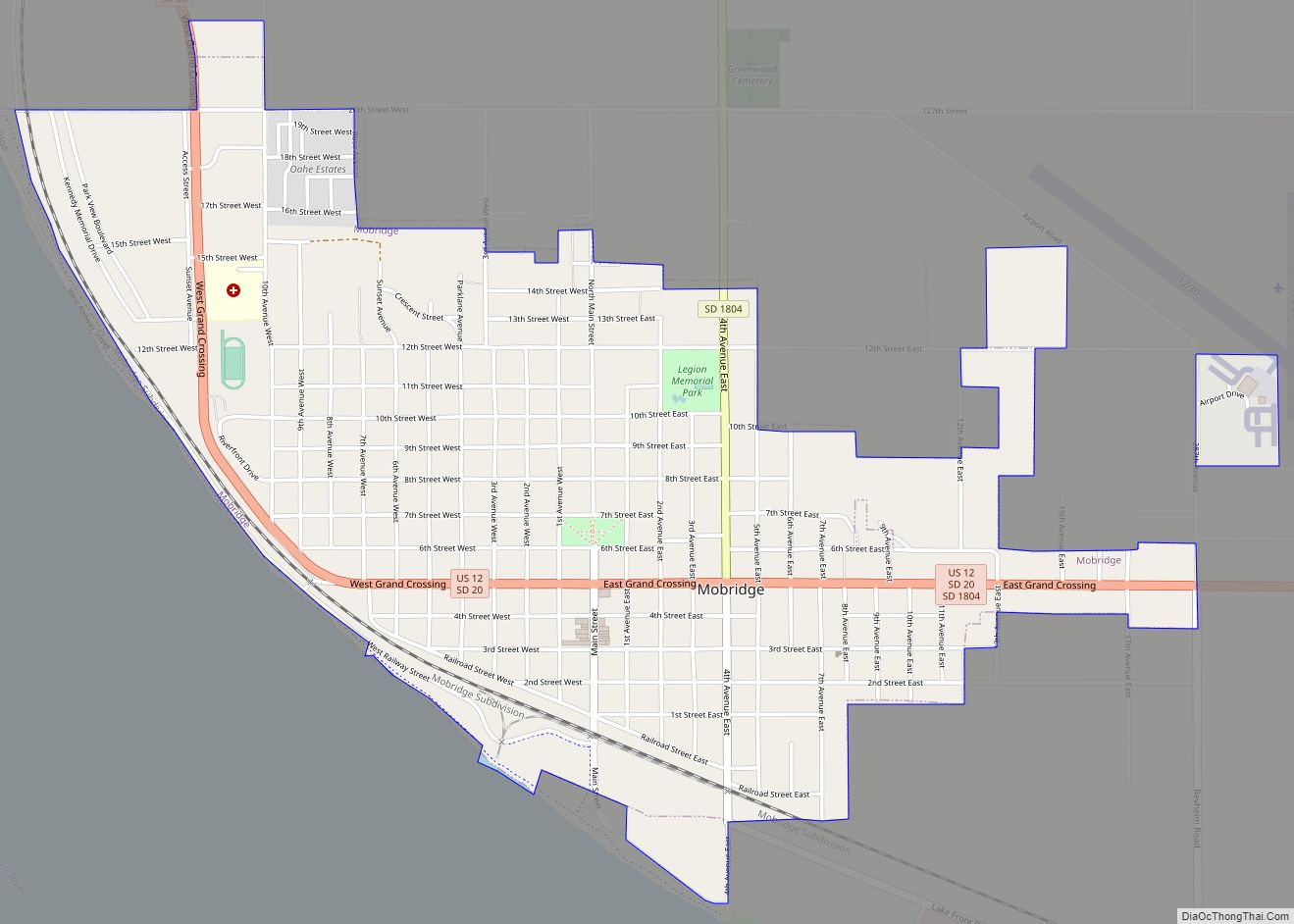
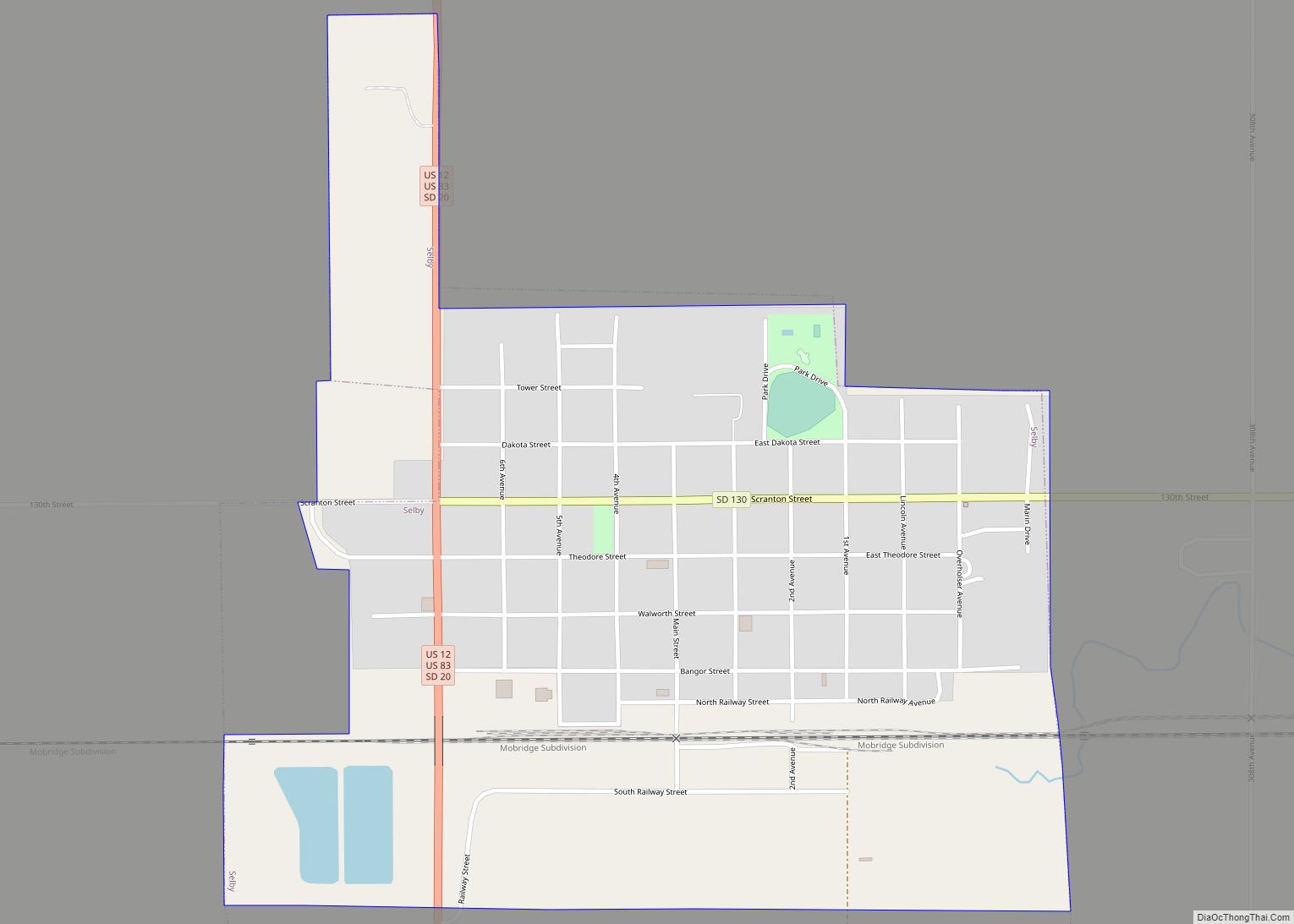
Online Interactive Map
Click on ![]() to view map in "full screen" mode.
to view map in "full screen" mode.
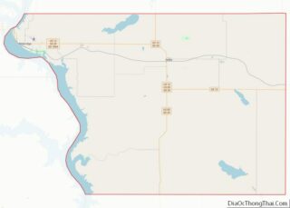
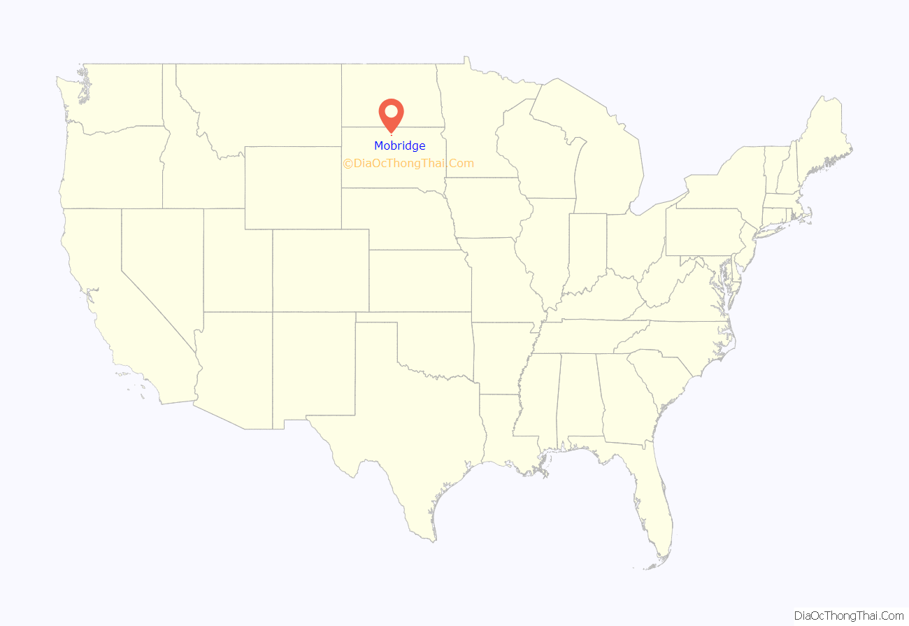
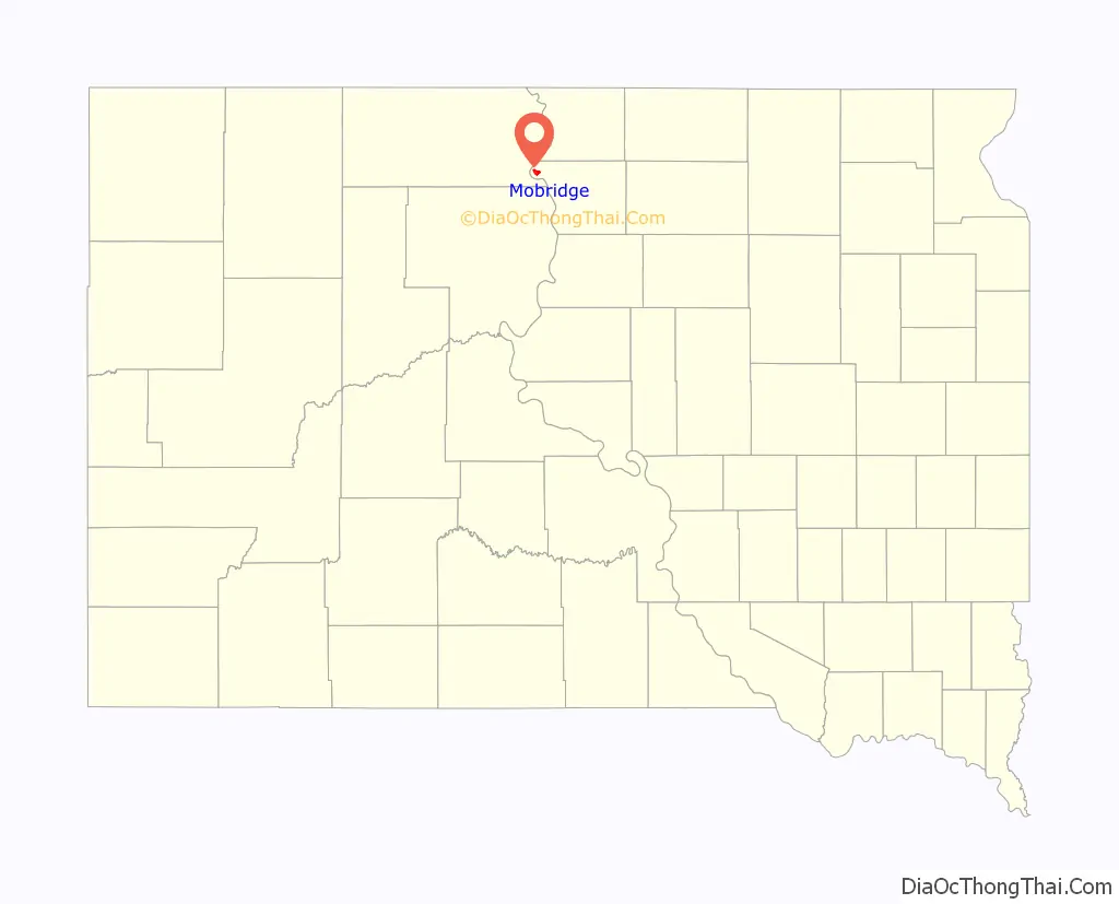
Mobridge location map. Where is Mobridge city?
History
Located in territory that had long been occupied by the Lakota Sioux, Mobridge was founded by European Americans in 1906 following construction of the Chicago, Milwaukee, St. Paul and Pacific Railroad through here. The town was named Mobridge for its railroad designation, a contracted form of Missouri Bridge, after the original railroad bridge over the Missouri River. The bridge was demolished by the Corps of Engineers in the early 1960s and replaced by a higher bridge due to the construction of the Oahe Dam.
There are disputed claims that some or all of chief Sitting Bull’s remains were moved by his surviving relatives and the Dakota Memorial Association on April 8, 1953 from Fort Yates, North Dakota, where he had been killed and buried, to Mobridge, which was near his birthplace. The Mobridge burial site is marked by a monument consisting of his bust on a granite pedestal; it overlooks the Missouri River. It was dedicated by the Dakota Memorial Association on April 11, 1953.
The Brown Palace Hotel in Mobridge is listed on the U.S. National Register of Historic Places. Artist Oscar Howe (Yanktonai Dakota) painted a mural for the town’s auditorium.
The Mobridge Masonic Temple was built in Egyptian Revival style in 1923.
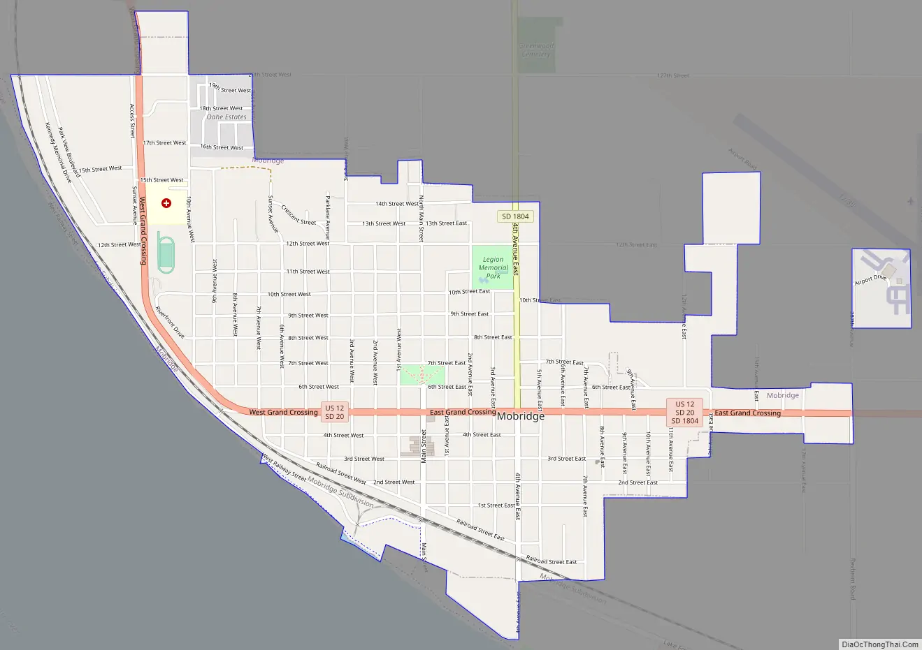
Mobridge Road Map
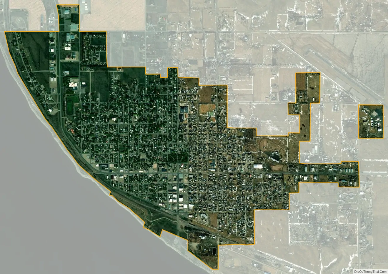
Mobridge city Satellite Map
Geography
According to the United States Census Bureau, the city has a total area of 1.89 square miles (4.90 km), all land.
Mobridge has been assigned the ZIP code 57601 and the FIPS place code 43180.
Climate
- ^ Mean monthly maxima and minima (i.e. the expected highest and lowest temperature readings at any point during the year or given month) calculated based on data at said location from 1991 to 2020.
- ^ Records maintained at the Mobridge 2 NNW COOP before April 1998, and at Mobridge Municipal Airport since April 1998.
See also
Map of South Dakota State and its subdivision:- Aurora
- Beadle
- Bennett
- Bon Homme
- Brookings
- Brown
- Brule
- Buffalo
- Butte
- Campbell
- Charles Mix
- Clark
- Clay
- Codington
- Corson
- Custer
- Davison
- Day
- Deuel
- Dewey
- Douglas
- Edmunds
- Fall River
- Faulk
- Grant
- Gregory
- Haakon
- Hamlin
- Hand
- Hanson
- Harding
- Hughes
- Hutchinson
- Hyde
- Jackson
- Jerauld
- Jones
- Kingsbury
- Lake
- Lawrence
- Lincoln
- Lyman
- Marshall
- McCook
- McPherson
- Meade
- Mellette
- Miner
- Minnehaha
- Moody
- Pennington
- Perkins
- Potter
- Roberts
- Sanborn
- Shannon
- Spink
- Stanley
- Sully
- Todd
- Tripp
- Turner
- Union
- Walworth
- Yankton
- Ziebach
- Alabama
- Alaska
- Arizona
- Arkansas
- California
- Colorado
- Connecticut
- Delaware
- District of Columbia
- Florida
- Georgia
- Hawaii
- Idaho
- Illinois
- Indiana
- Iowa
- Kansas
- Kentucky
- Louisiana
- Maine
- Maryland
- Massachusetts
- Michigan
- Minnesota
- Mississippi
- Missouri
- Montana
- Nebraska
- Nevada
- New Hampshire
- New Jersey
- New Mexico
- New York
- North Carolina
- North Dakota
- Ohio
- Oklahoma
- Oregon
- Pennsylvania
- Rhode Island
- South Carolina
- South Dakota
- Tennessee
- Texas
- Utah
- Vermont
- Virginia
- Washington
- West Virginia
- Wisconsin
- Wyoming