North Sioux City is a city in Union County, South Dakota, United States. The population was 3,042 at the 2020 census. It is part of the Sioux City, IA–NE-SD Metropolitan Statistical Area.
| Name: | North Sioux City city |
|---|---|
| LSAD Code: | 25 |
| LSAD Description: | city (suffix) |
| State: | South Dakota |
| County: | Union County |
| Incorporated: | 1951 |
| Elevation: | 1,099 ft (335 m) |
| Total Area: | 2.71 sq mi (7.02 km²) |
| Land Area: | 2.68 sq mi (6.94 km²) |
| Water Area: | 0.03 sq mi (0.07 km²) |
| Total Population: | 3,042 |
| Population Density: | 1,134.65/sq mi (438.08/km²) |
| ZIP code: | 57049 |
| Area code: | 605 |
| FIPS code: | 4645700 |
| GNISfeature ID: | 1256778 |
| Website: | NorthSiouxCity-SD.gov |
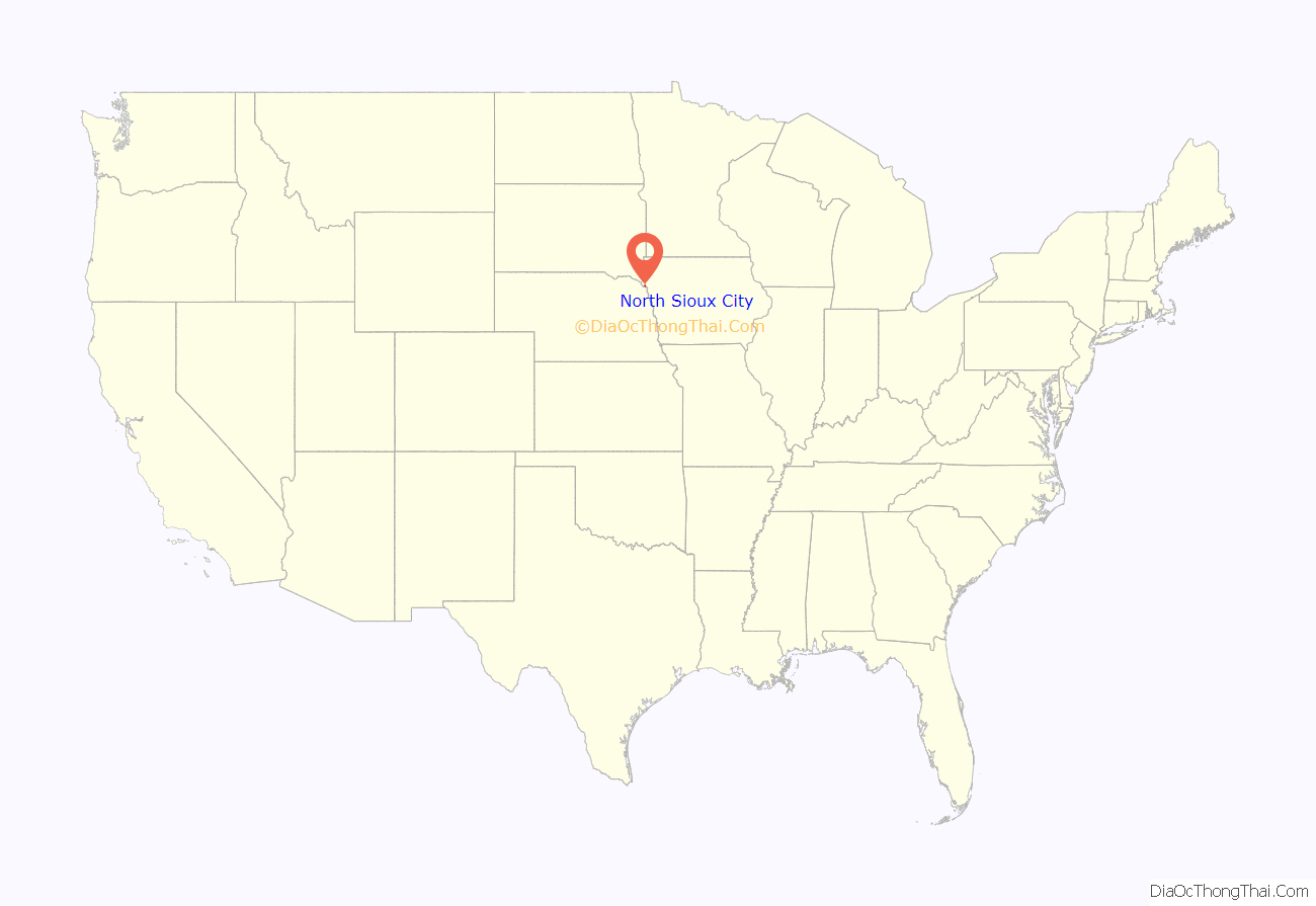
Online Interactive Map
Click on ![]() to view map in "full screen" mode.
to view map in "full screen" mode.
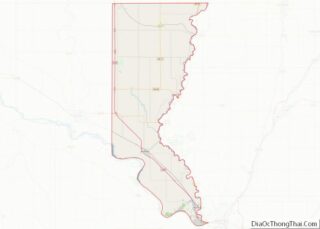
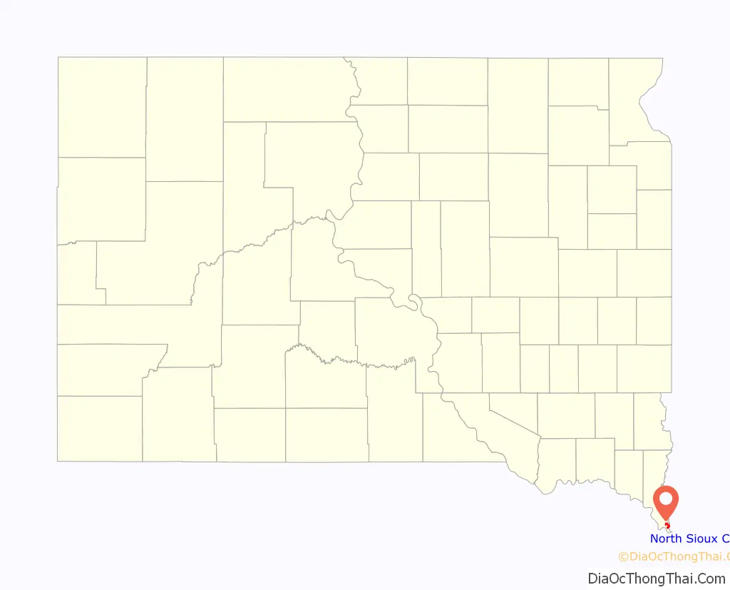
North Sioux City location map. Where is North Sioux City city?
History
The southern tip of this land between the Missouri River from the west and south and the Big Sioux River from the north and east was a meeting place for Native American Indians traveling the two rivers. Area tribes current to the 1804 Lewis and Clark expedition were the Omaha, Yankton Dakota and Ponca, all Siouan language speakers.
French-Canadian farmer Joseph La Plant, born ca. 1823 in Indiana, settled at Sioux Point in 1849 and is listed with other early settlers in the 1860 census as living “Between Big Sioux and Big Stone Lake” in the “Unorganized” area of Minnesota, with the closest post office located immediately down and across the rivers in Sioux City, Iowa.
North Sioux City was incorporated in 1951.
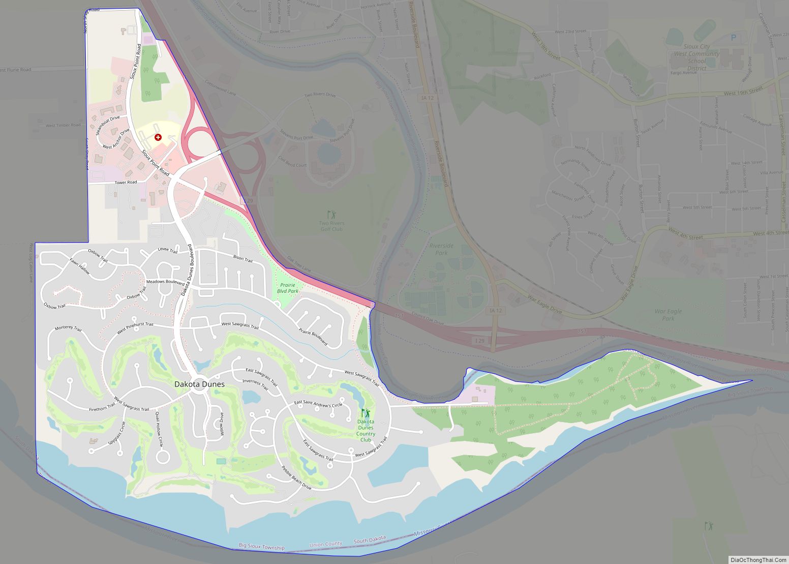
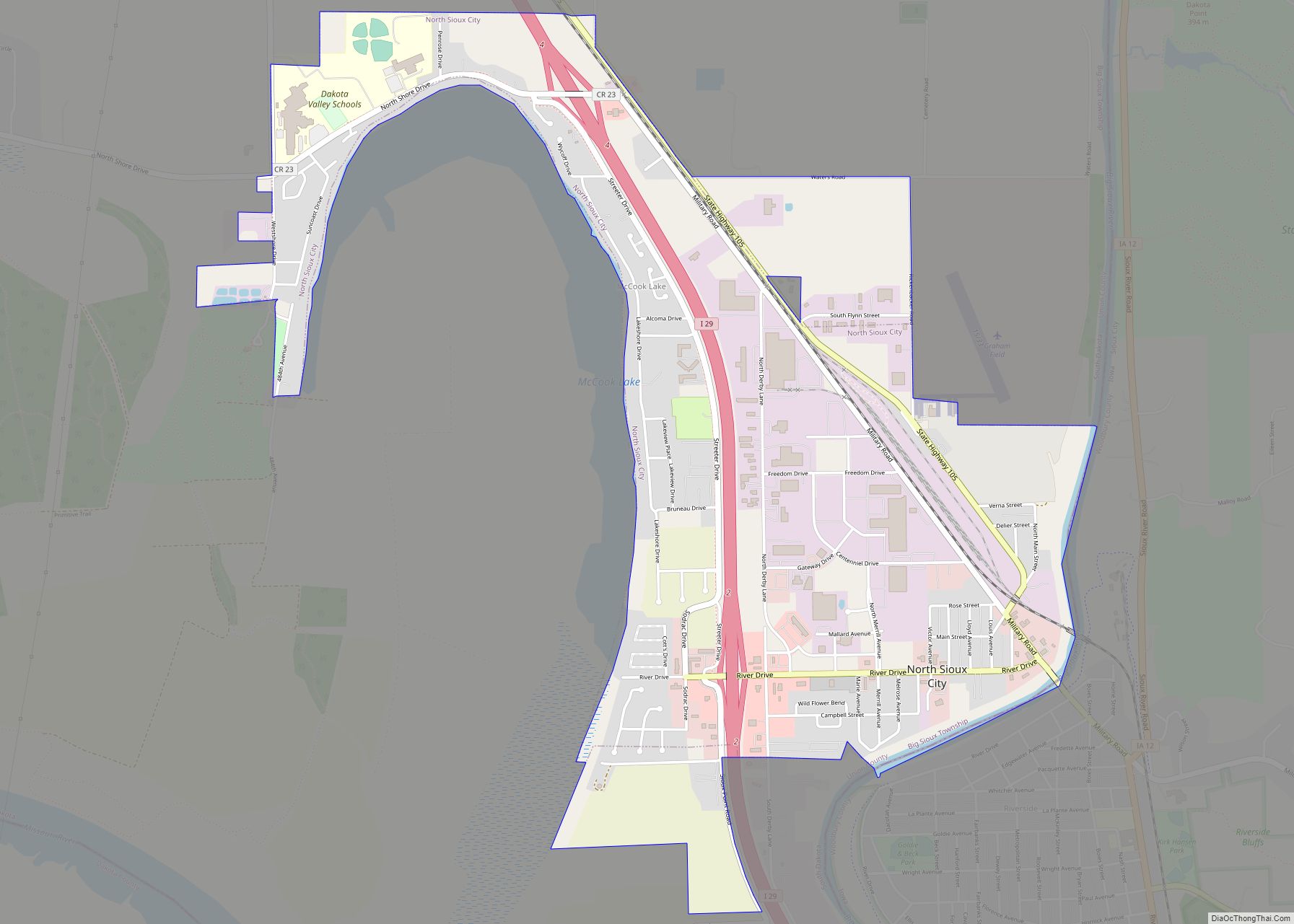
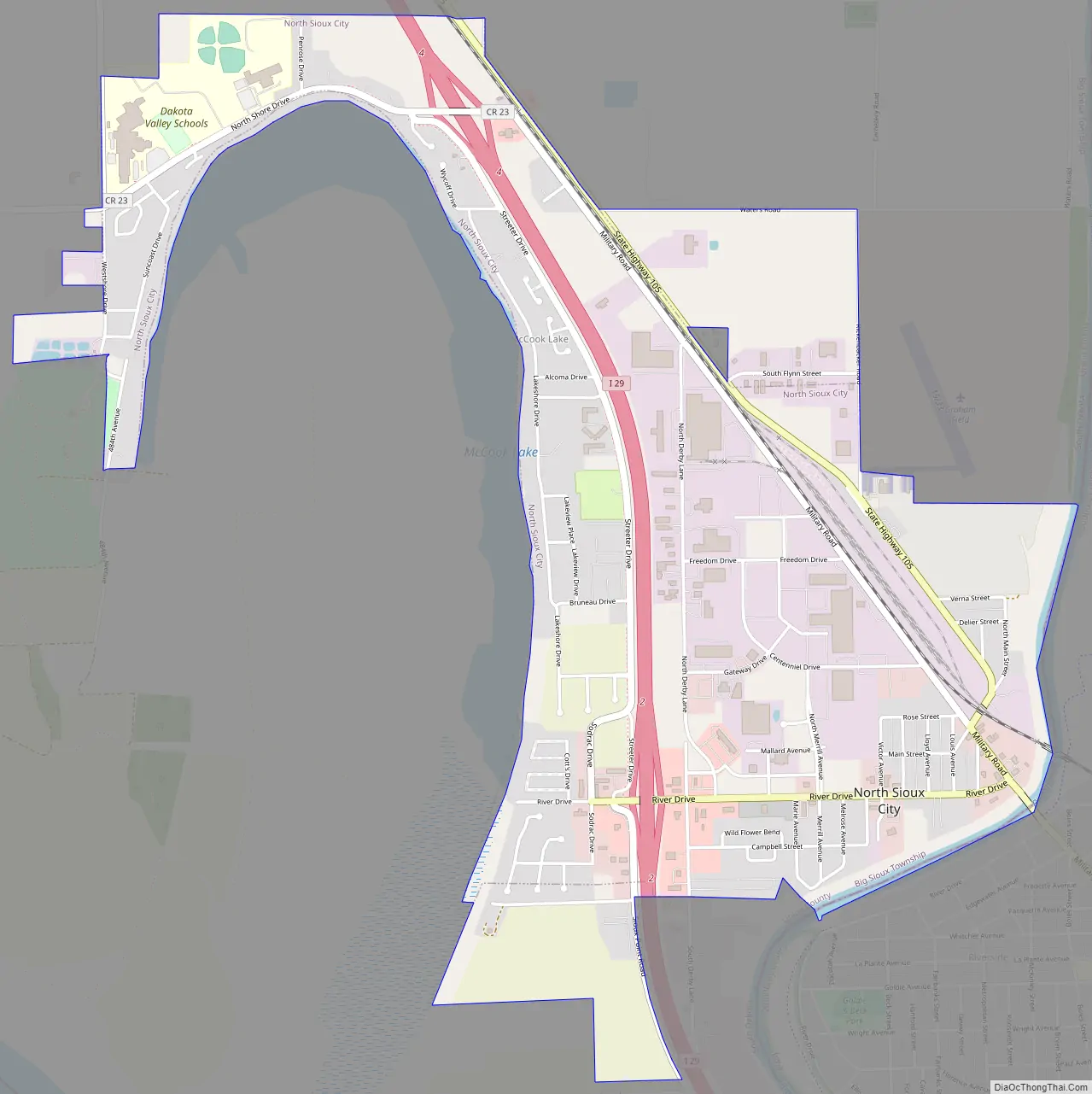
North Sioux City Road Map
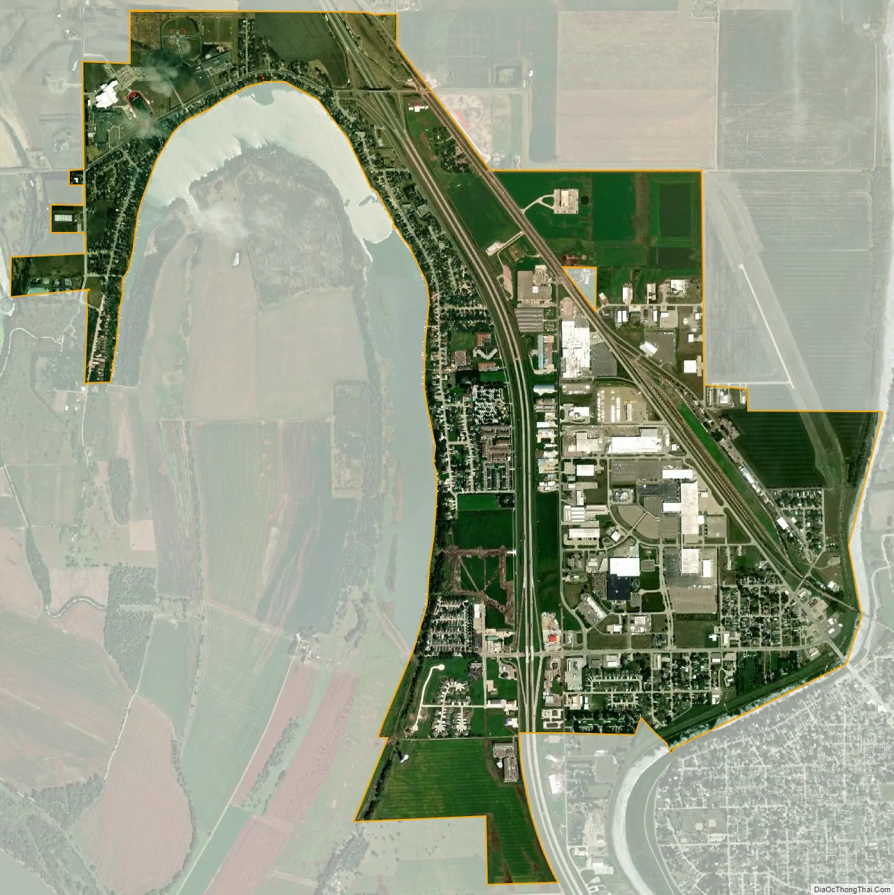
North Sioux City city Satellite Map
Geography
North Sioux City is located at 42°31′52″N 96°29′44″W / 42.53111°N 96.49556°W / 42.53111; -96.49556 (42.530999, -96.495494), bounded on the east by the Big Sioux River and on the west by the oxbow McCook Lake.
According to the United States Census Bureau, the city has a total area of 2.29 square miles (5.93 km), of which 2.26 square miles (5.85 km) is land and 0.03 square miles (0.08 km) is water.
North Sioux City has been assigned the ZIP code 57049 and the FIPS place code 45700.
See also
Map of South Dakota State and its subdivision:- Aurora
- Beadle
- Bennett
- Bon Homme
- Brookings
- Brown
- Brule
- Buffalo
- Butte
- Campbell
- Charles Mix
- Clark
- Clay
- Codington
- Corson
- Custer
- Davison
- Day
- Deuel
- Dewey
- Douglas
- Edmunds
- Fall River
- Faulk
- Grant
- Gregory
- Haakon
- Hamlin
- Hand
- Hanson
- Harding
- Hughes
- Hutchinson
- Hyde
- Jackson
- Jerauld
- Jones
- Kingsbury
- Lake
- Lawrence
- Lincoln
- Lyman
- Marshall
- McCook
- McPherson
- Meade
- Mellette
- Miner
- Minnehaha
- Moody
- Pennington
- Perkins
- Potter
- Roberts
- Sanborn
- Shannon
- Spink
- Stanley
- Sully
- Todd
- Tripp
- Turner
- Union
- Walworth
- Yankton
- Ziebach
- Alabama
- Alaska
- Arizona
- Arkansas
- California
- Colorado
- Connecticut
- Delaware
- District of Columbia
- Florida
- Georgia
- Hawaii
- Idaho
- Illinois
- Indiana
- Iowa
- Kansas
- Kentucky
- Louisiana
- Maine
- Maryland
- Massachusetts
- Michigan
- Minnesota
- Mississippi
- Missouri
- Montana
- Nebraska
- Nevada
- New Hampshire
- New Jersey
- New Mexico
- New York
- North Carolina
- North Dakota
- Ohio
- Oklahoma
- Oregon
- Pennsylvania
- Rhode Island
- South Carolina
- South Dakota
- Tennessee
- Texas
- Utah
- Vermont
- Virginia
- Washington
- West Virginia
- Wisconsin
- Wyoming