Oldham is a city in Kingsbury County, South Dakota, United States. The population was 133 at the 2010 census.
Some say the city was named for Oldham Carrot, a local landowner, while others believe the name is a transfer from Oldham, England, the native home of a first settler.
| Name: | Oldham city |
|---|---|
| LSAD Code: | 25 |
| LSAD Description: | city (suffix) |
| State: | South Dakota |
| County: | Kingsbury County |
| Incorporated: | 1917 |
| Elevation: | 1,722 ft (525 m) |
| Total Area: | 0.25 sq mi (0.64 km²) |
| Land Area: | 0.25 sq mi (0.64 km²) |
| Water Area: | 0.00 sq mi (0.00 km²) |
| Total Population: | 121 |
| Population Density: | 491.87/sq mi (190.03/km²) |
| ZIP code: | 57051 |
| Area code: | 605 |
| FIPS code: | 4646780 |
| GNISfeature ID: | 1256876 |
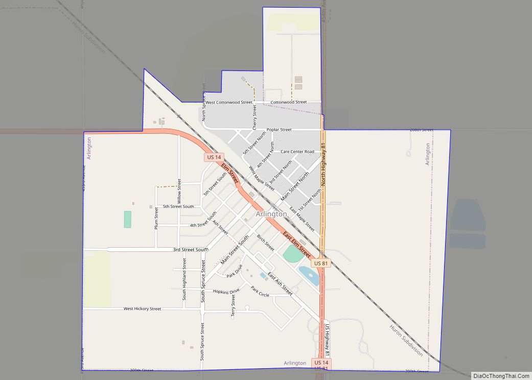
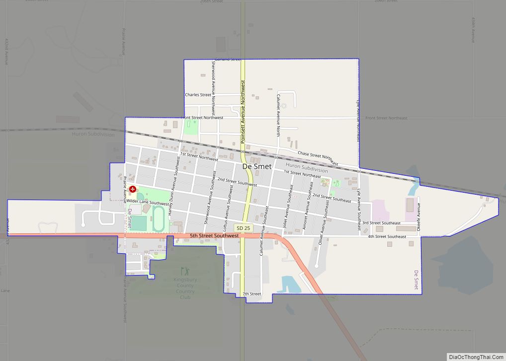
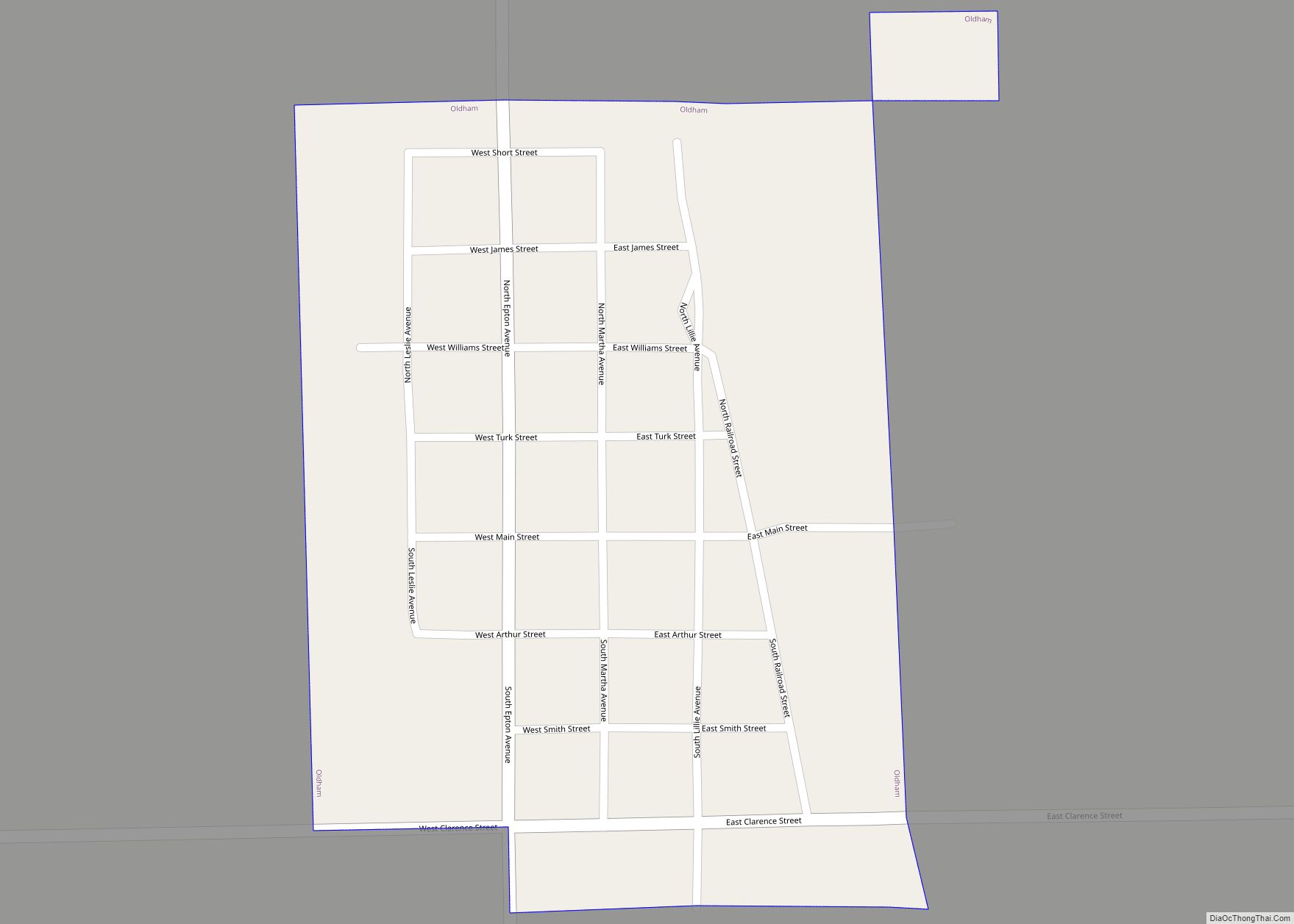
Online Interactive Map
Click on ![]() to view map in "full screen" mode.
to view map in "full screen" mode.
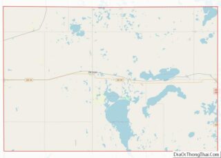
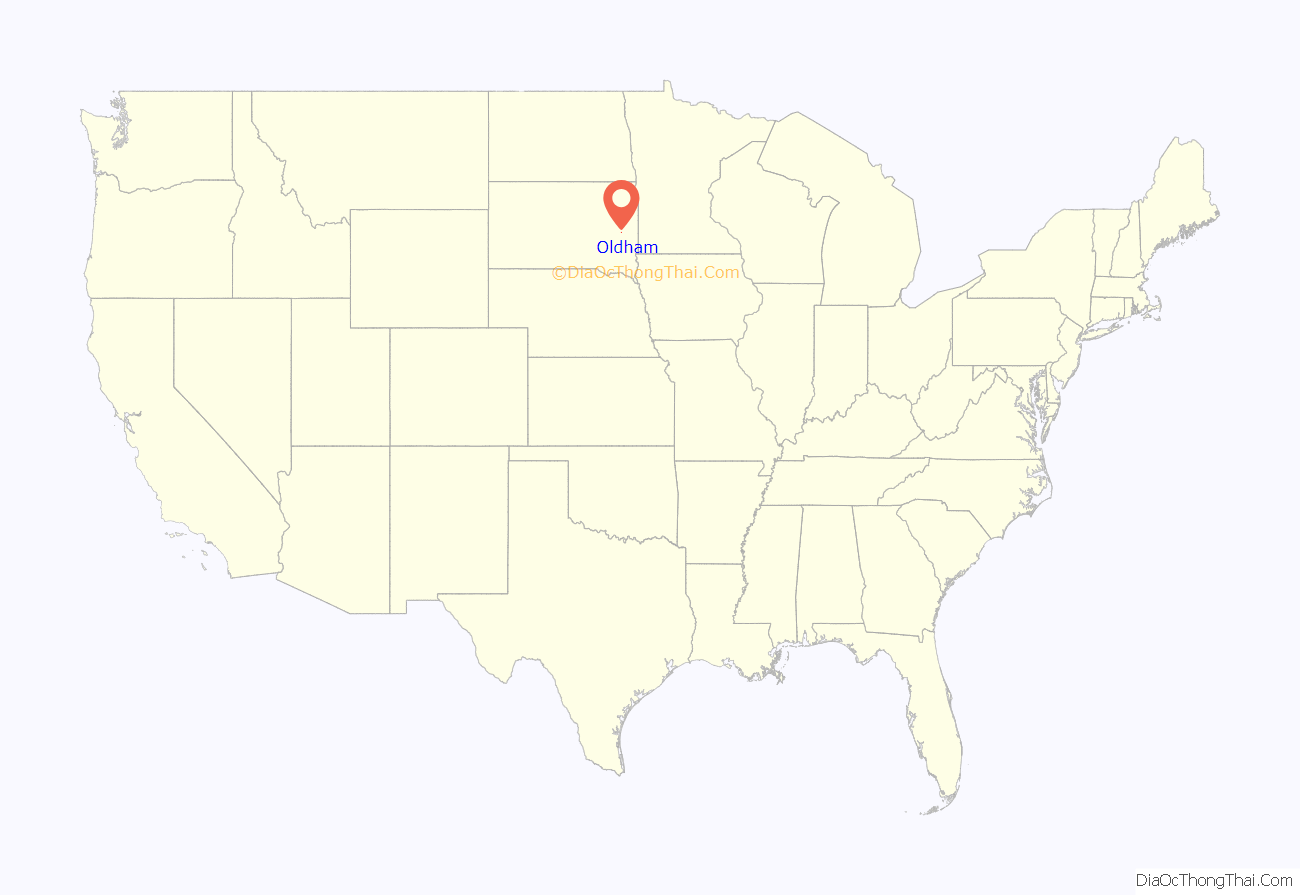
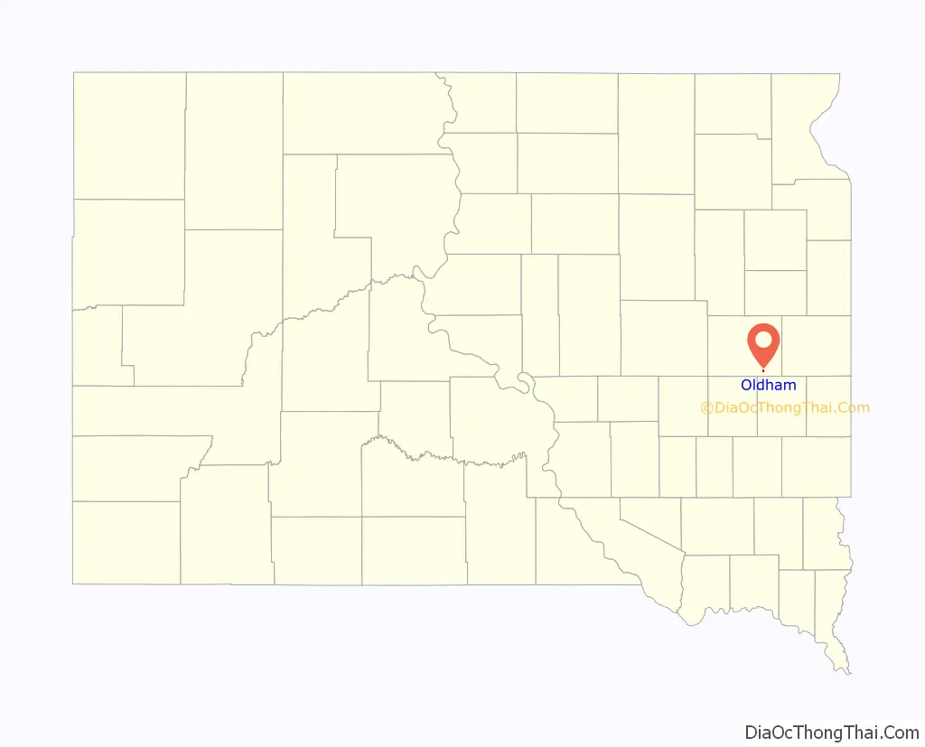
Oldham location map. Where is Oldham city?
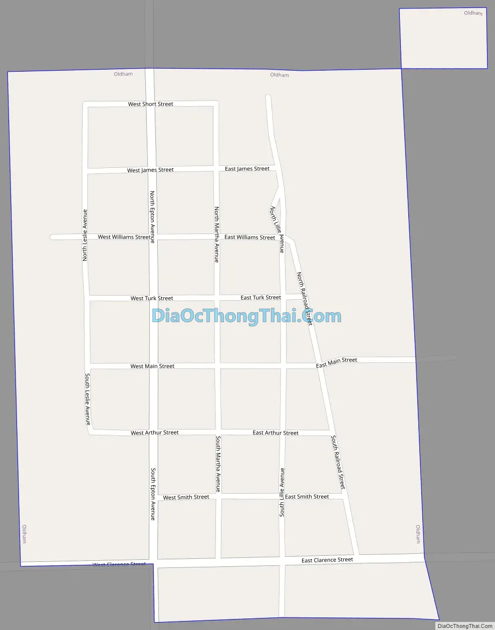
Oldham Road Map
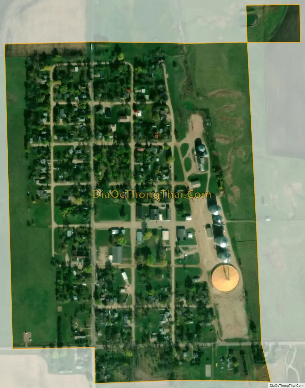
Oldham city Satellite Map
Geography
Oldham is located at 44°13′42″N 97°18′32″W / 44.22833°N 97.30889°W / 44.22833; -97.30889 (44.228219, -97.308979).
According to the United States Census Bureau, the city has a total area of 0.25 square miles (0.65 km), all land.
Oldham has been assigned the ZIP code 57051 and the FIPS place code 46780.
The Loriks Peterson Heritage House is on the National Register of Historic Places.
See also
Map of South Dakota State and its subdivision:- Aurora
- Beadle
- Bennett
- Bon Homme
- Brookings
- Brown
- Brule
- Buffalo
- Butte
- Campbell
- Charles Mix
- Clark
- Clay
- Codington
- Corson
- Custer
- Davison
- Day
- Deuel
- Dewey
- Douglas
- Edmunds
- Fall River
- Faulk
- Grant
- Gregory
- Haakon
- Hamlin
- Hand
- Hanson
- Harding
- Hughes
- Hutchinson
- Hyde
- Jackson
- Jerauld
- Jones
- Kingsbury
- Lake
- Lawrence
- Lincoln
- Lyman
- Marshall
- McCook
- McPherson
- Meade
- Mellette
- Miner
- Minnehaha
- Moody
- Pennington
- Perkins
- Potter
- Roberts
- Sanborn
- Shannon
- Spink
- Stanley
- Sully
- Todd
- Tripp
- Turner
- Union
- Walworth
- Yankton
- Ziebach
- Alabama
- Alaska
- Arizona
- Arkansas
- California
- Colorado
- Connecticut
- Delaware
- District of Columbia
- Florida
- Georgia
- Hawaii
- Idaho
- Illinois
- Indiana
- Iowa
- Kansas
- Kentucky
- Louisiana
- Maine
- Maryland
- Massachusetts
- Michigan
- Minnesota
- Mississippi
- Missouri
- Montana
- Nebraska
- Nevada
- New Hampshire
- New Jersey
- New Mexico
- New York
- North Carolina
- North Dakota
- Ohio
- Oklahoma
- Oregon
- Pennsylvania
- Rhode Island
- South Carolina
- South Dakota
- Tennessee
- Texas
- Utah
- Vermont
- Virginia
- Washington
- West Virginia
- Wisconsin
- Wyoming