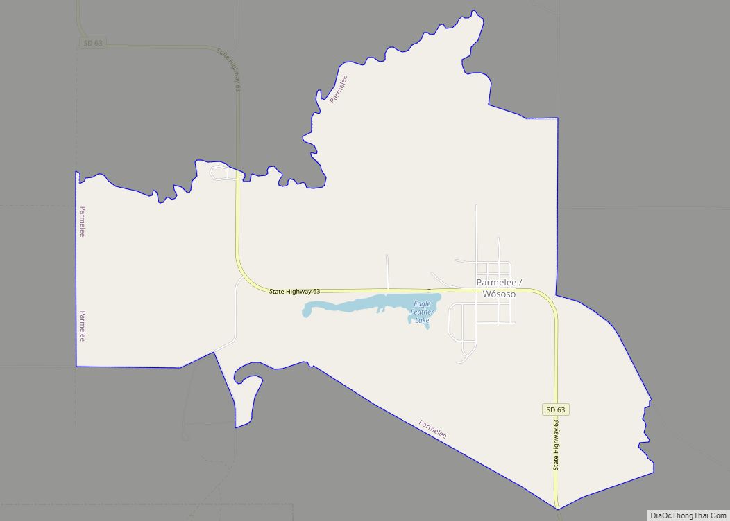
Parmelee also Wósoso (Lakota: wósoso; “cut meat”) is a census-designated place (CDP) in Todd County, South Dakota, United States, which lies within the Rosebud Indian Reservation. The population was 606 at the 2020 census.
| Name: | Parmelee CDP |
|---|---|
| LSAD Code: | 57 |
| LSAD Description: | CDP (suffix) |
| State: | South Dakota |
| County: | Todd County |
| Elevation: | 2,638 ft (804 m) |
| Total Area: | 5.80 sq mi (15.01 km²) |
| Land Area: | 5.71 sq mi (14.80 km²) |
| Water Area: | 0.08 sq mi (0.21 km²) |
| Total Population: | 606 |
| Population Density: | 106.06/sq mi (40.95/km²) |
| ZIP code: | 57566 |
| Area code: | 605 |
| FIPS code: | 4648500 |
| GNISfeature ID: | 1256960 |
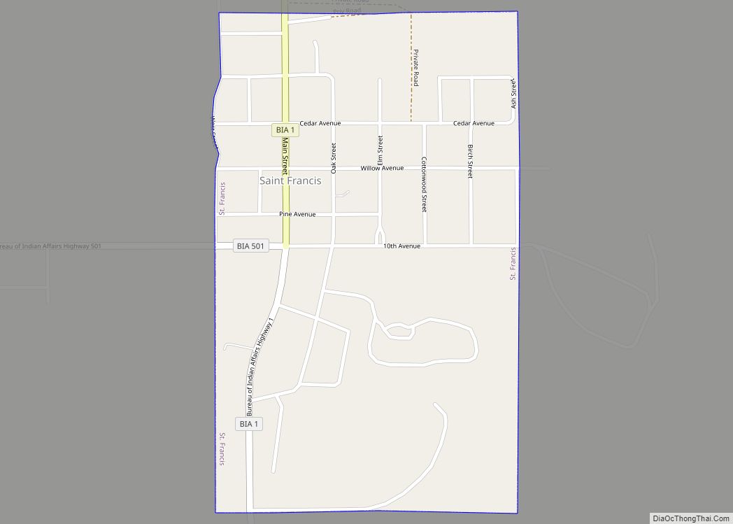
Online Interactive Map
Click on ![]() to view map in "full screen" mode.
to view map in "full screen" mode.
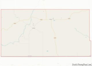
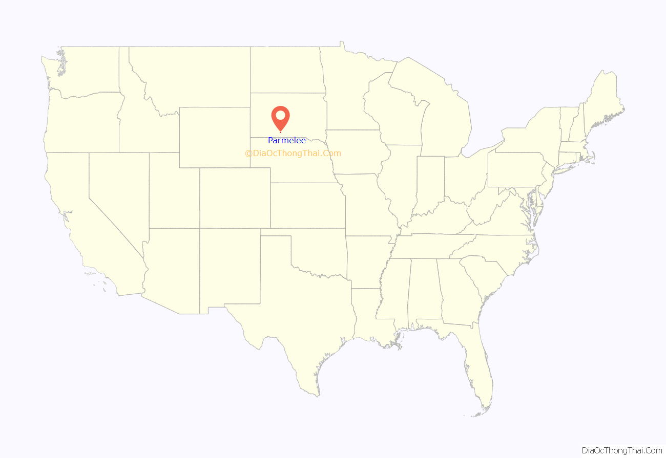
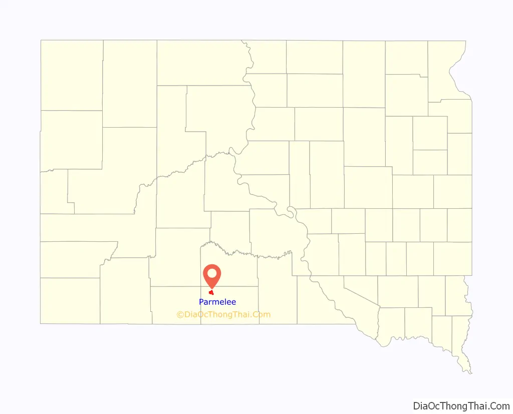
Parmelee location map. Where is Parmelee CDP?
History
Founded in 1916 as Cut Meat, the town was renamed to Parmelee in 1921. The present name honors Dave Parmelee, a pioneer settler.
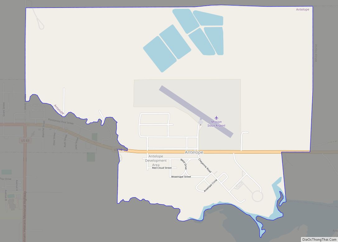
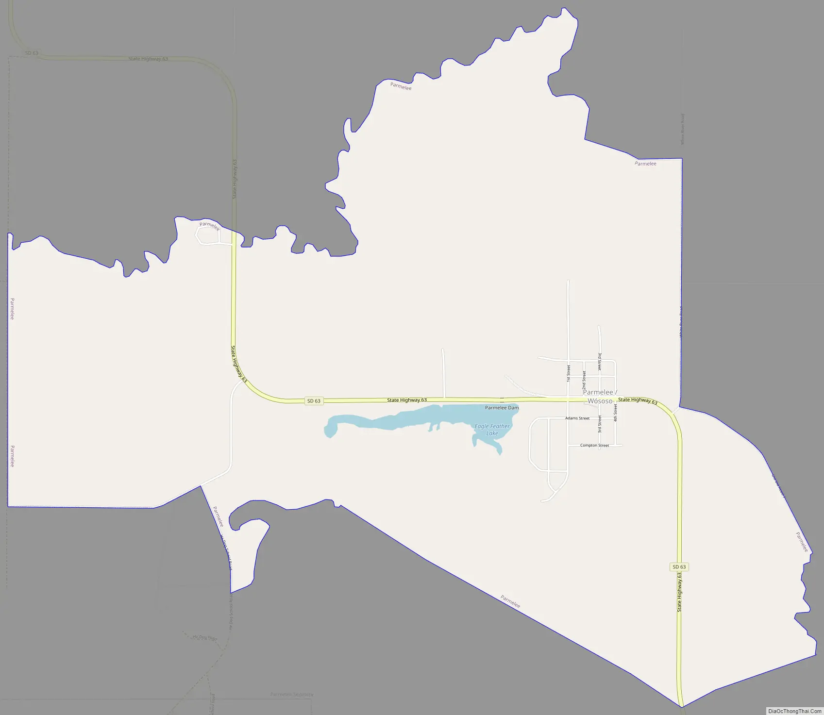
Parmelee Road Map
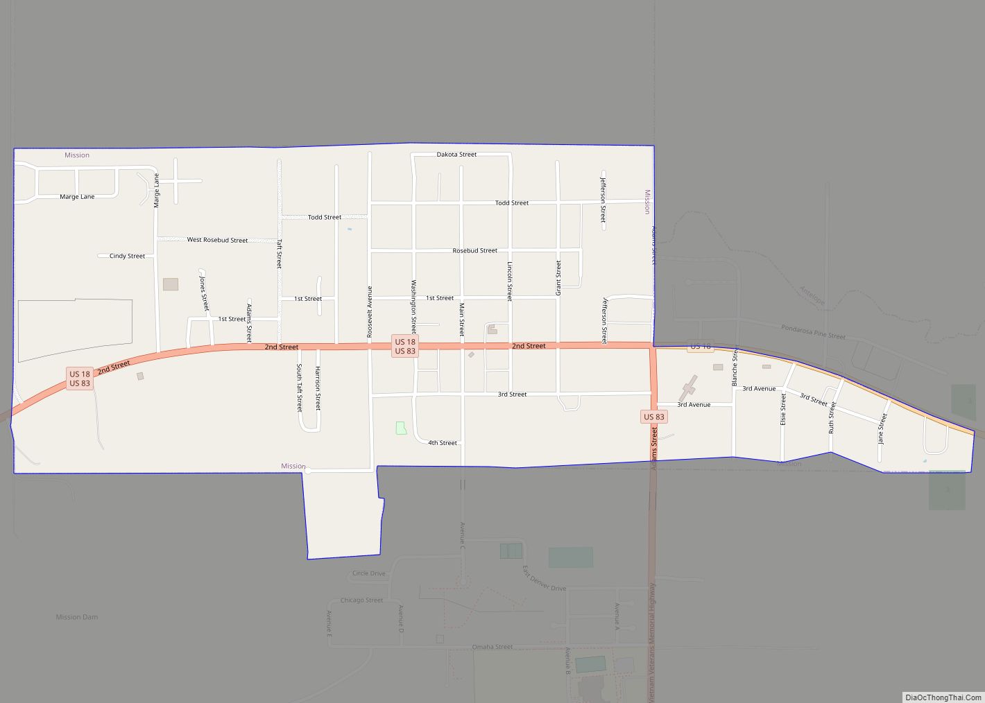
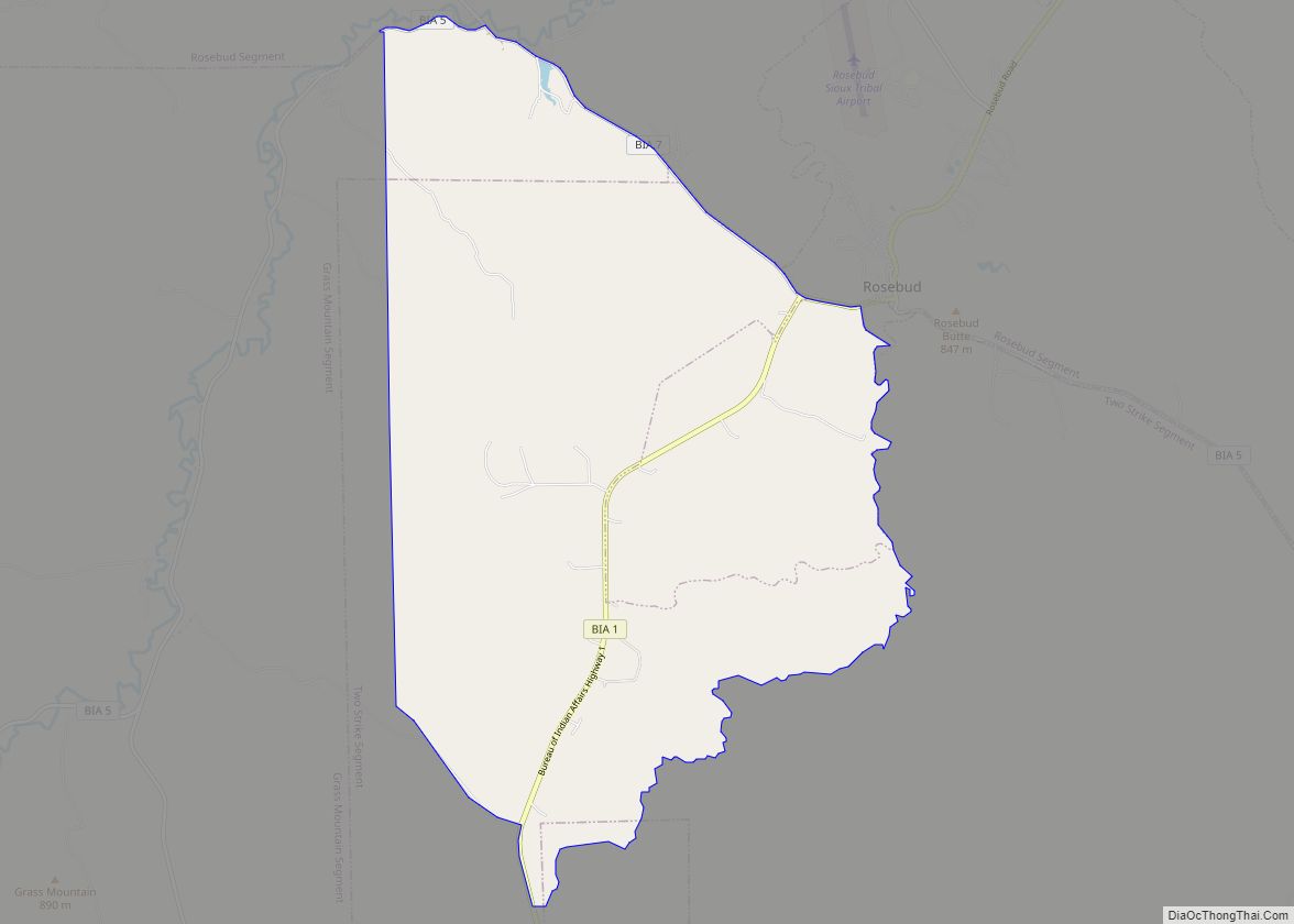
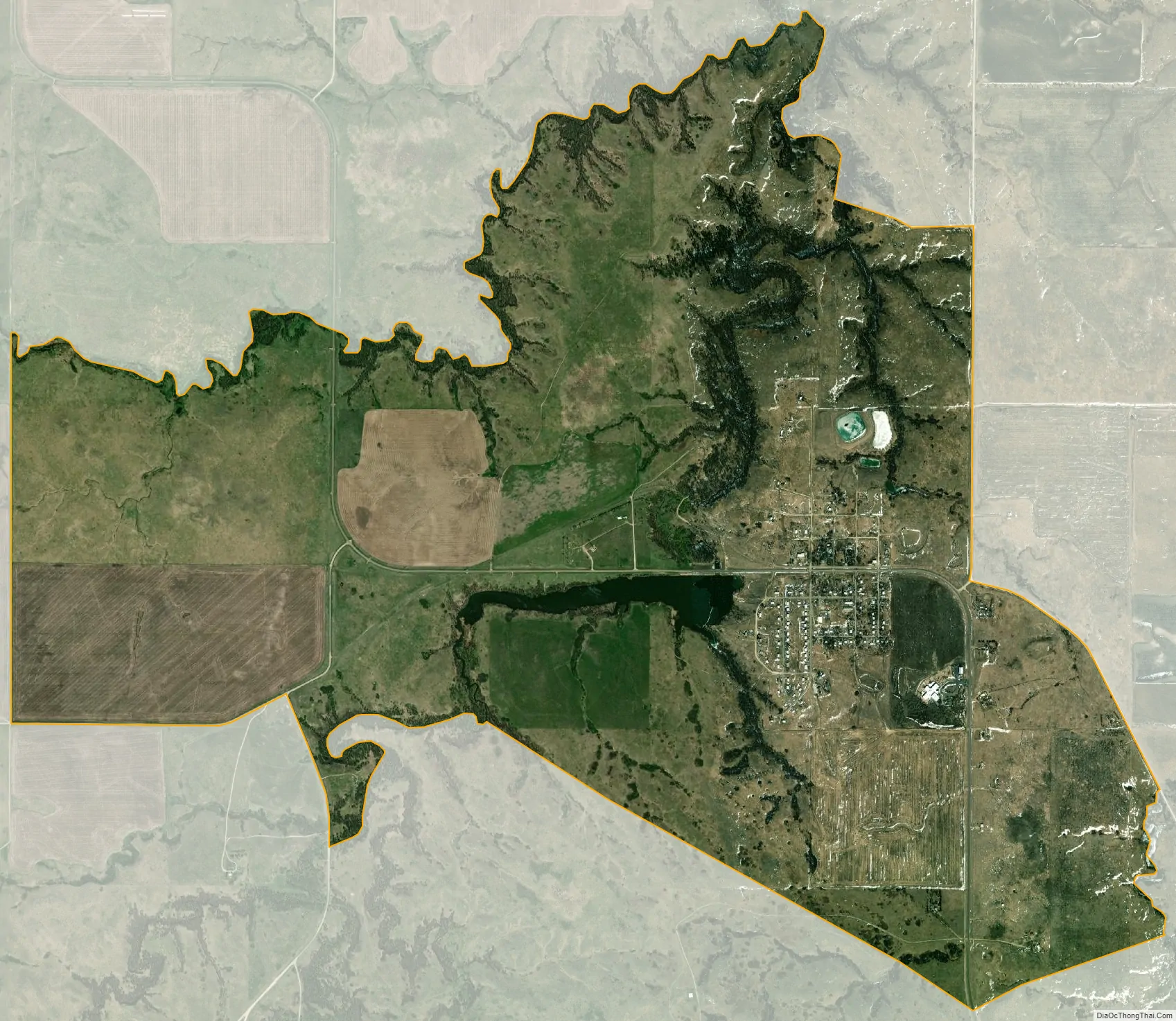
Parmelee city Satellite Map
Geography
According to the United States Census Bureau, the CDP has a total area of 5.8 square miles (15 km), of which 5.7 square miles (15 km) is land and 0.1 square miles (0.26 km) (1.22%) is water.
Parmelee has been assigned the ZIP code 57566.
See also
Map of South Dakota State and its subdivision:- Aurora
- Beadle
- Bennett
- Bon Homme
- Brookings
- Brown
- Brule
- Buffalo
- Butte
- Campbell
- Charles Mix
- Clark
- Clay
- Codington
- Corson
- Custer
- Davison
- Day
- Deuel
- Dewey
- Douglas
- Edmunds
- Fall River
- Faulk
- Grant
- Gregory
- Haakon
- Hamlin
- Hand
- Hanson
- Harding
- Hughes
- Hutchinson
- Hyde
- Jackson
- Jerauld
- Jones
- Kingsbury
- Lake
- Lawrence
- Lincoln
- Lyman
- Marshall
- McCook
- McPherson
- Meade
- Mellette
- Miner
- Minnehaha
- Moody
- Pennington
- Perkins
- Potter
- Roberts
- Sanborn
- Shannon
- Spink
- Stanley
- Sully
- Todd
- Tripp
- Turner
- Union
- Walworth
- Yankton
- Ziebach
- Alabama
- Alaska
- Arizona
- Arkansas
- California
- Colorado
- Connecticut
- Delaware
- District of Columbia
- Florida
- Georgia
- Hawaii
- Idaho
- Illinois
- Indiana
- Iowa
- Kansas
- Kentucky
- Louisiana
- Maine
- Maryland
- Massachusetts
- Michigan
- Minnesota
- Mississippi
- Missouri
- Montana
- Nebraska
- Nevada
- New Hampshire
- New Jersey
- New Mexico
- New York
- North Carolina
- North Dakota
- Ohio
- Oklahoma
- Oregon
- Pennsylvania
- Rhode Island
- South Carolina
- South Dakota
- Tennessee
- Texas
- Utah
- Vermont
- Virginia
- Washington
- West Virginia
- Wisconsin
- Wyoming