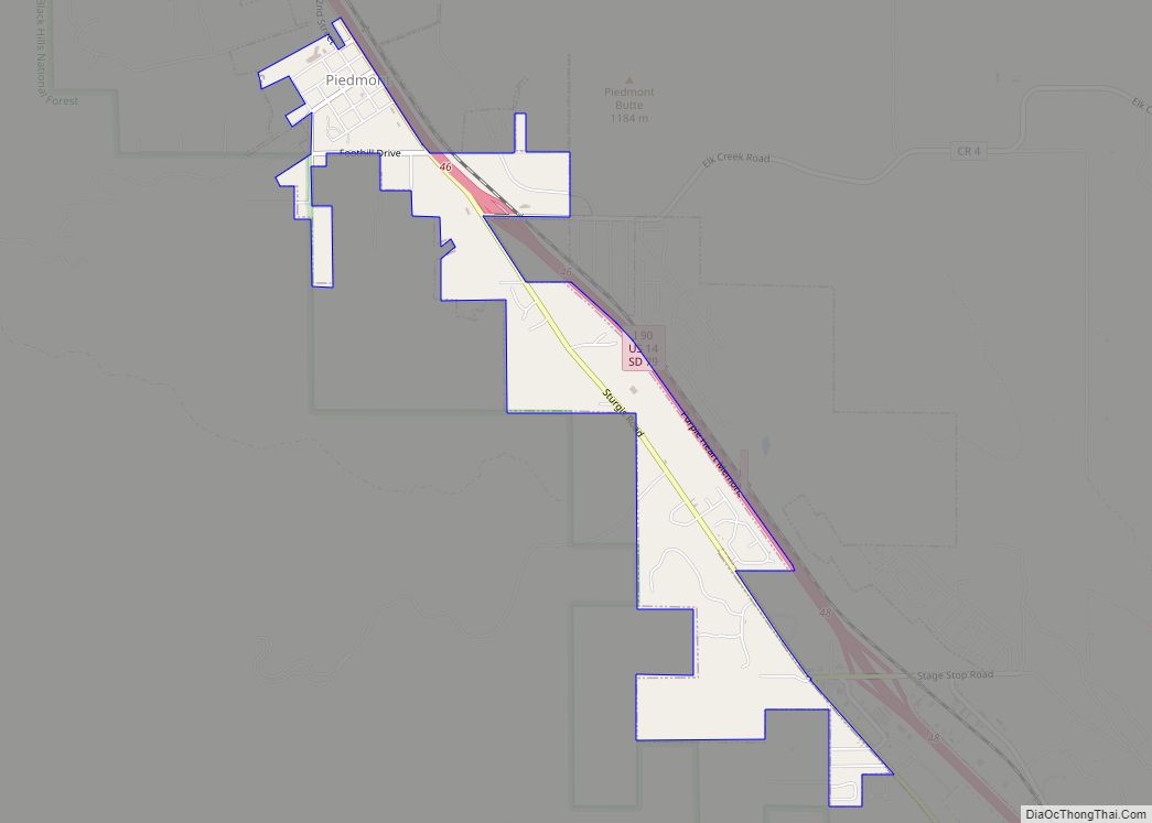
Piedmont is a city in Meade County, South Dakota, United States. According to the 2020 census, its population was 971. Piedmont lies along Interstate 90 between Rapid City and Sturgis. Piedmont has been assigned the ZIP Code of 57769.
| Name: | Piedmont city |
|---|---|
| LSAD Code: | 25 |
| LSAD Description: | city (suffix) |
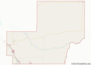
| State: | South Dakota |
| County: | Meade County |
| Founded: | 1890 |
| Incorporated: | 2007 |
| Elevation: | 3,494 ft (1,065 m) |
| Total Area: | 1.56 sq mi (4.05 km²) |
| Land Area: | 1.56 sq mi (4.05 km²) |
| Water Area: | 0.00 sq mi (0.00 km²) |
| Total Population: | 971 |
| Population Density: | 620.84/sq mi (239.72/km²) |
| ZIP code: | 57769 |
| Area code: | 605 |
| FIPS code: | 4649500 |
| GNISfeature ID: | 2547299 |
| Website: | PiedmontSD.com |
Online Interactive Map
Click on ![]() to view map in "full screen" mode.
to view map in "full screen" mode.
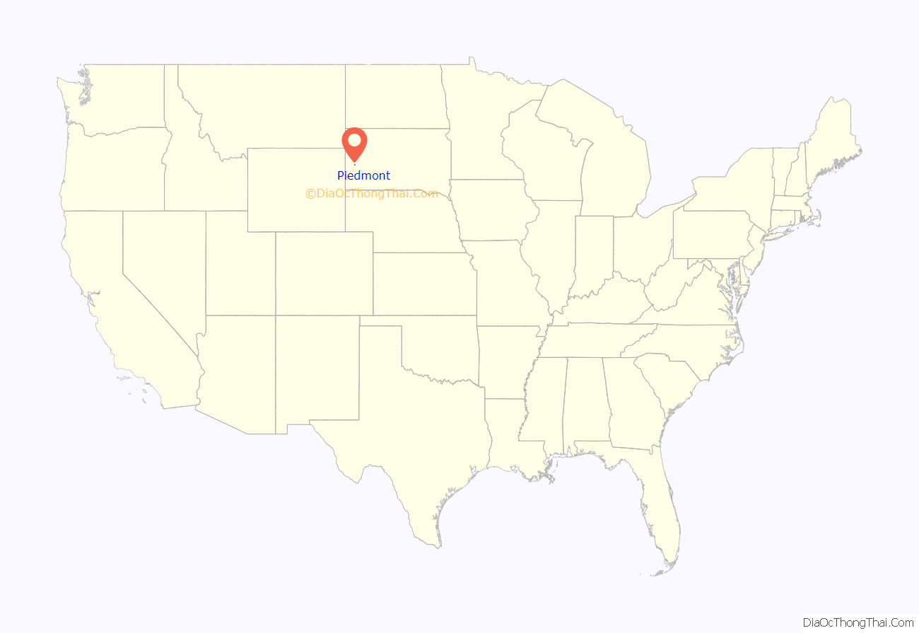
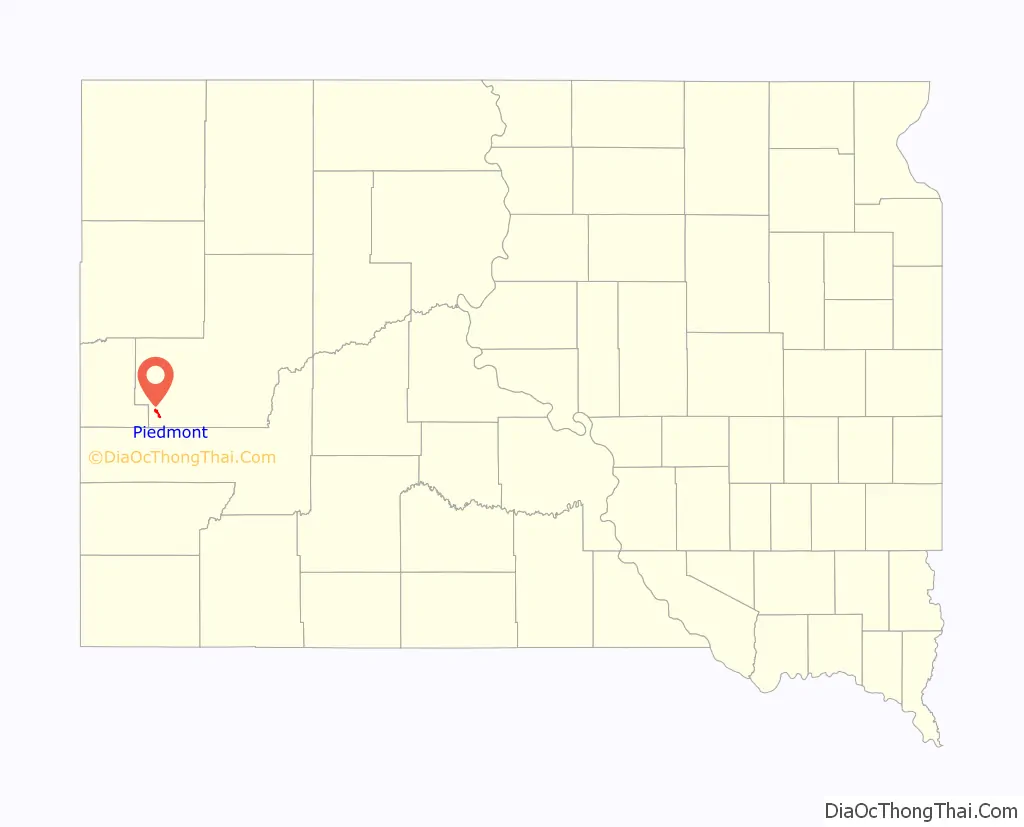
Piedmont location map. Where is Piedmont city?
History
Piedmont takes its name from a French word meaning “the foot of the mountain”, because it lies on the eastern slope of the Black Hills. Piedmont was founded in 1890 and remained unincorporated for nearly 117 years. It officially became a city August 16, 2007, and elected its first town board in November 2007. The area was first inhabited in the mid-1870s.
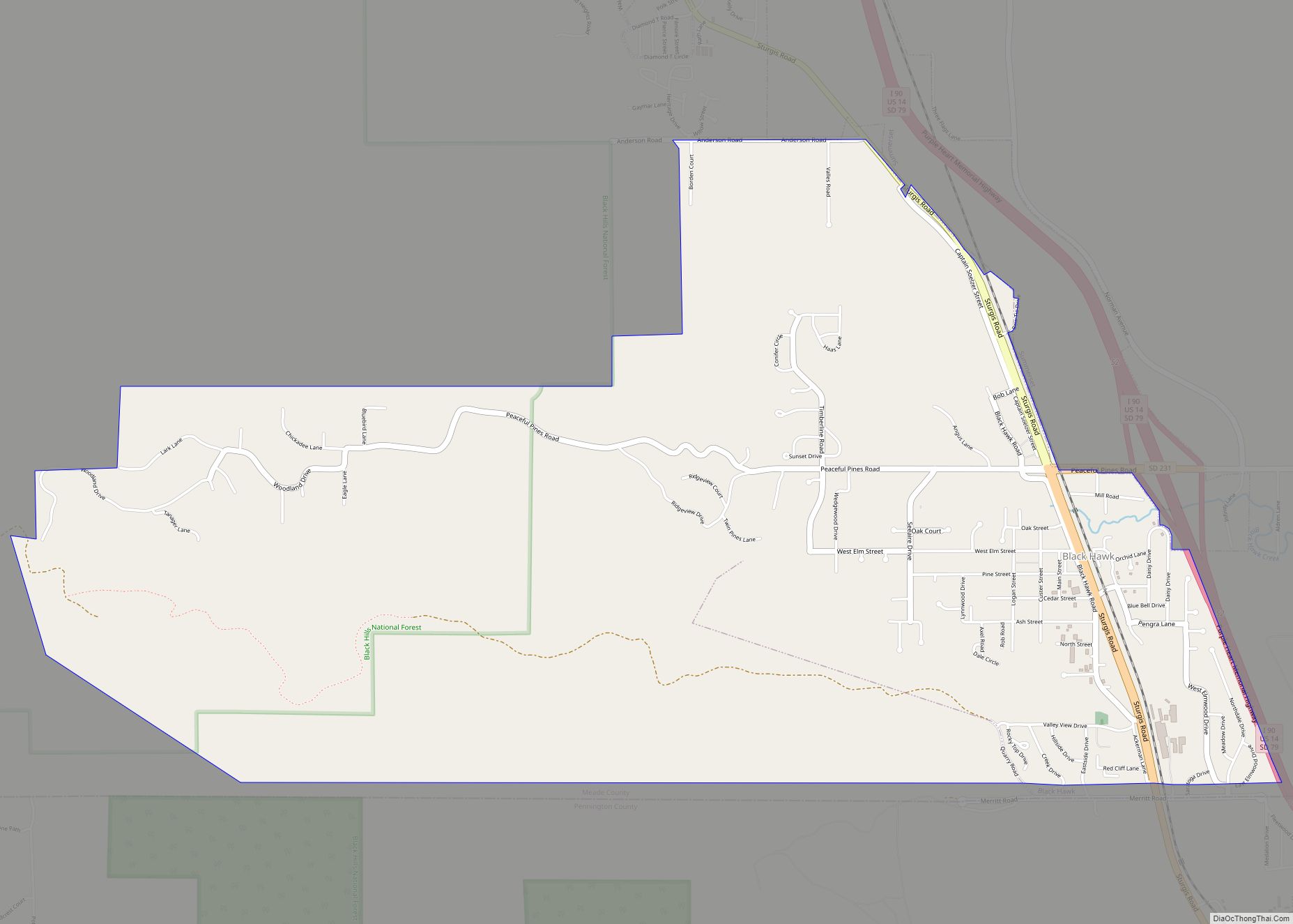
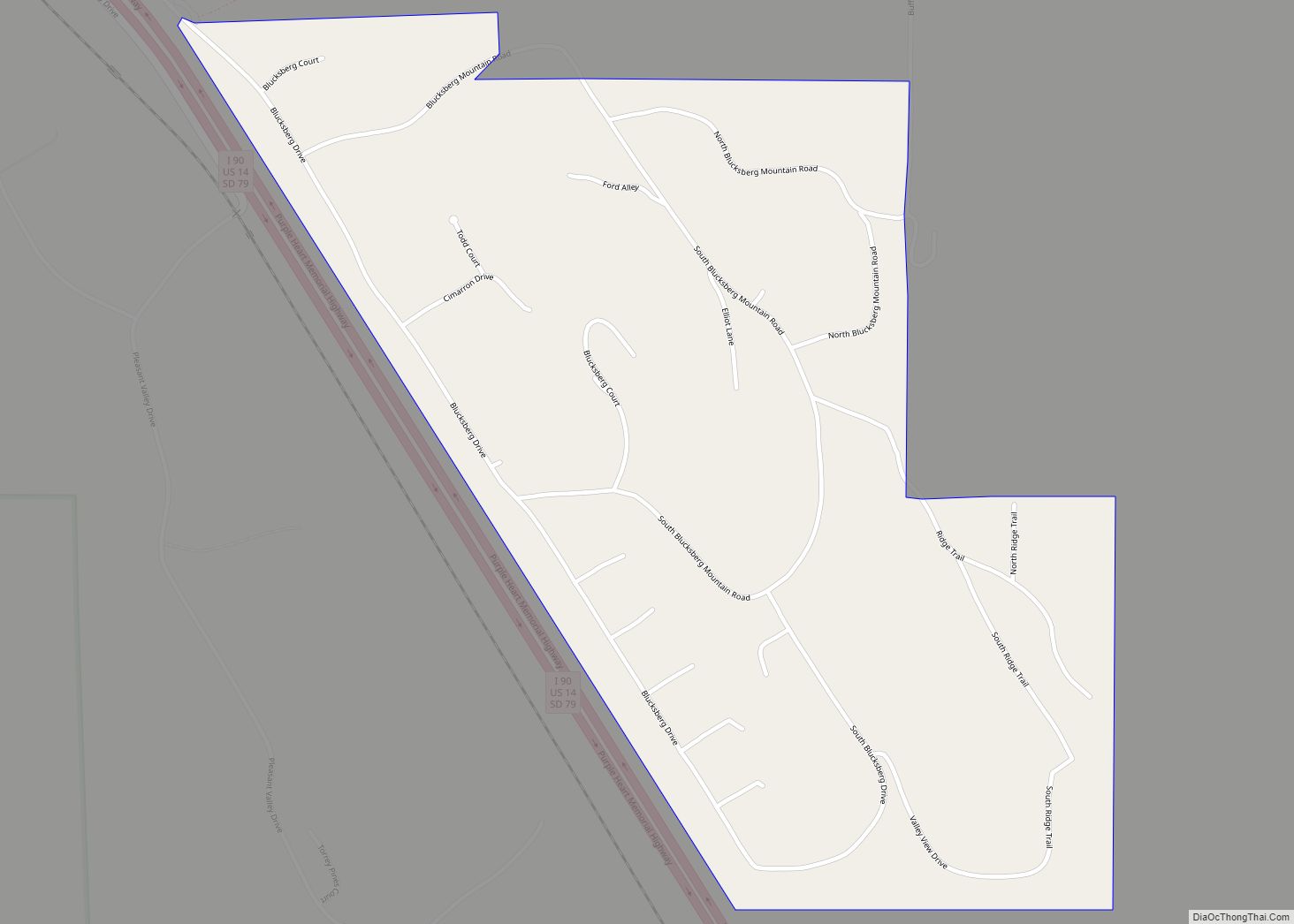
Piedmont Road Map
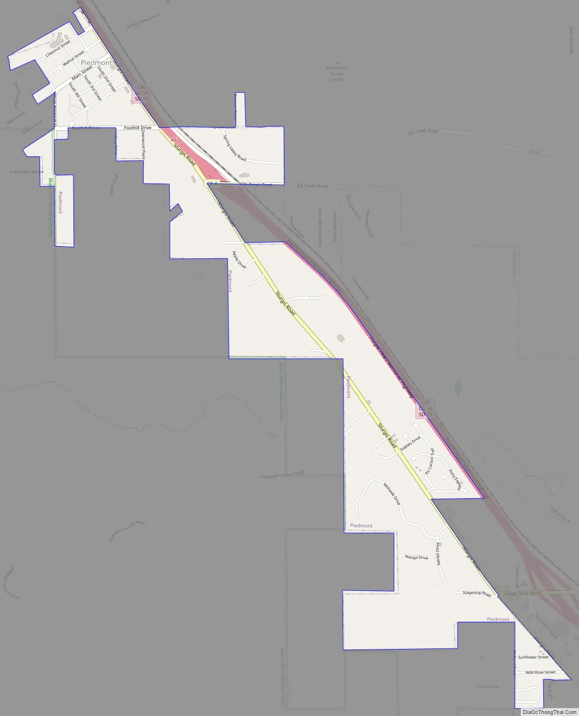
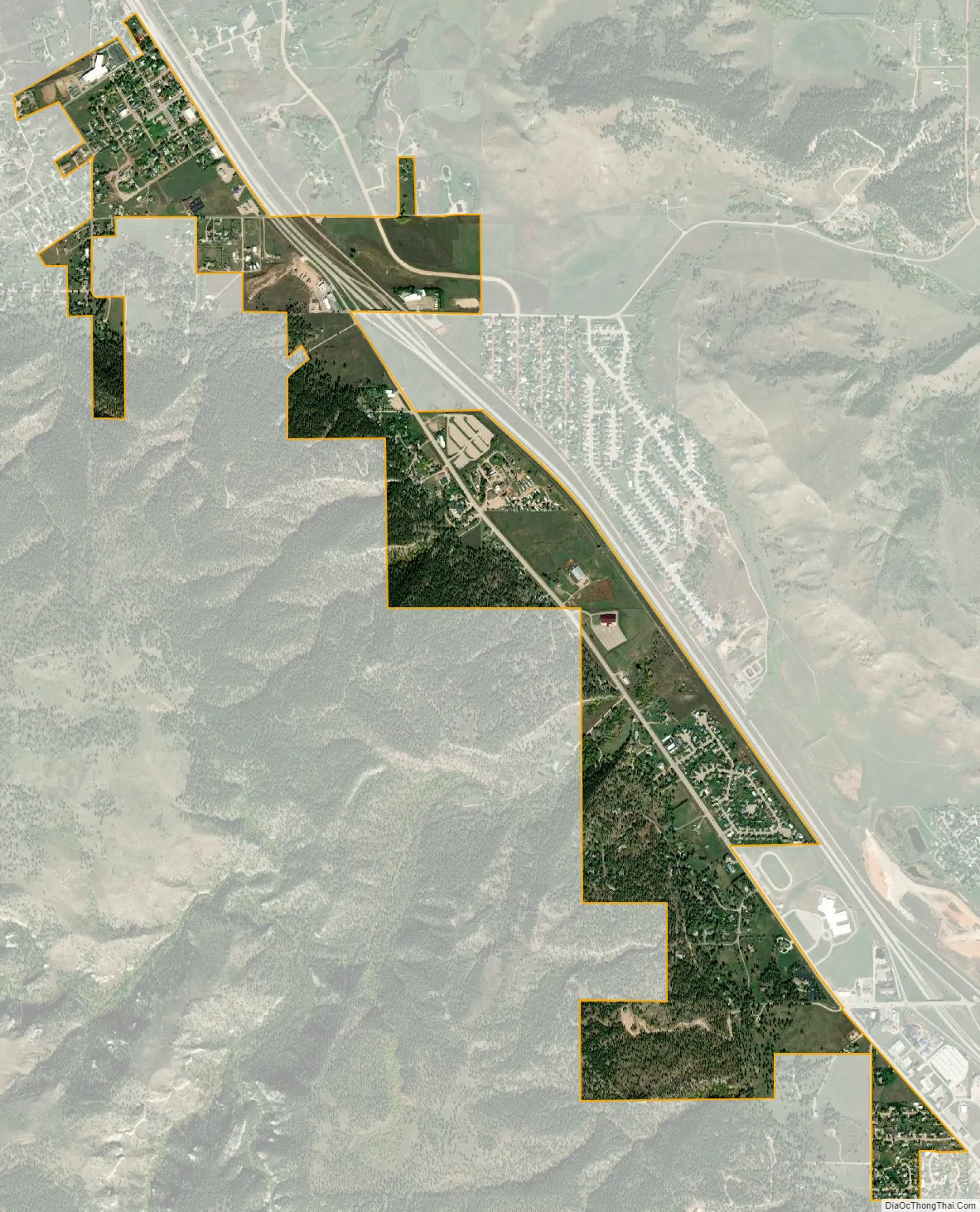
Piedmont city Satellite Map
Geography
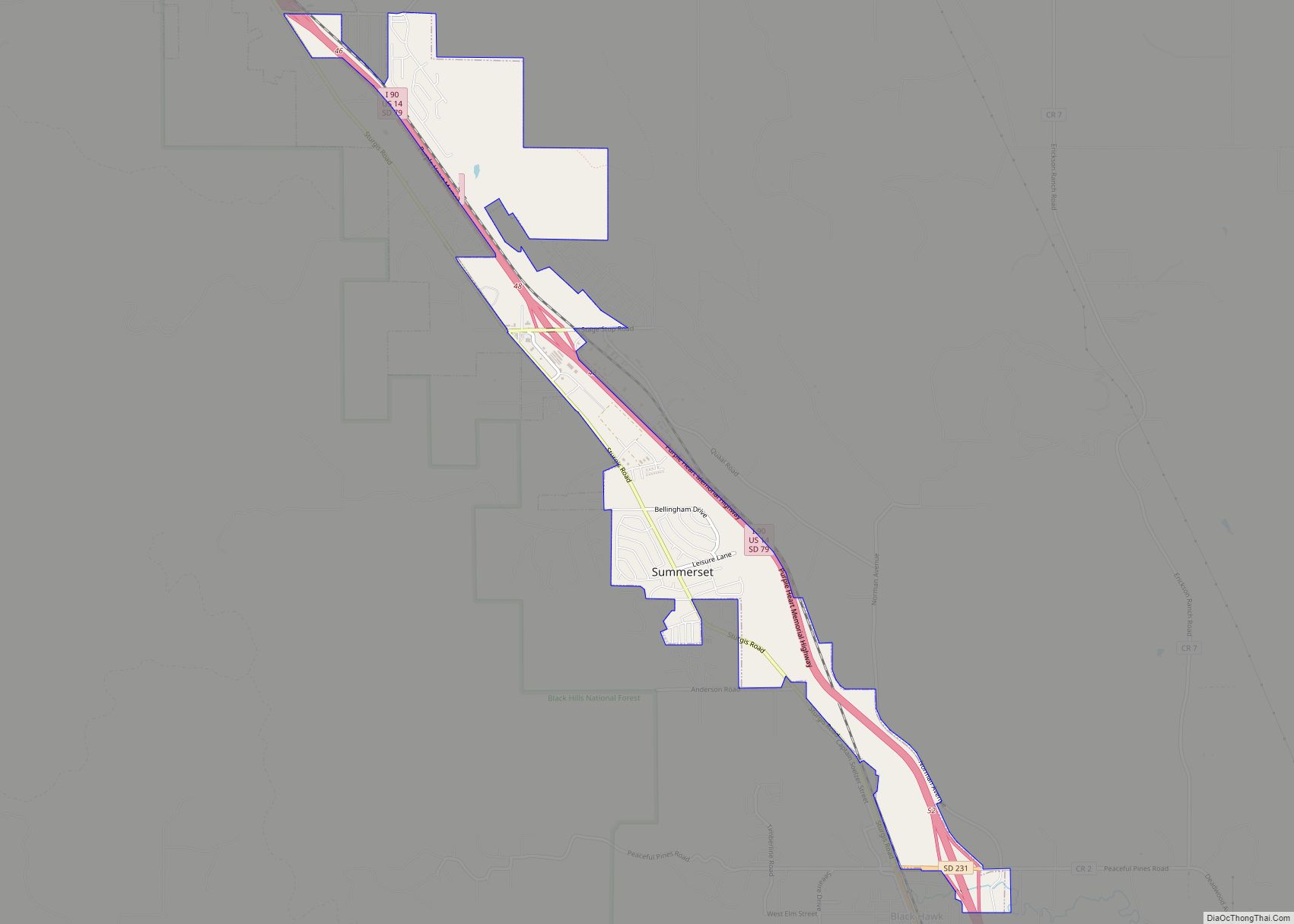
Piedmont is located in part of an area referred to as the Red Valley, or Race Track, a rock layer in the Spearfish Formation, which forms a valley circling the Black Hills. It is mostly red shale with beds of gypsum. Piedmont lies west of Interstate 90, north of Summerset, east of the Black Hills National Forest, and south of Elk Creek.
According to the United States Census Bureau, the city has a total area of 0.29 square miles (0.75 km), all land.
Climate
See also
Map of South Dakota State and its subdivision:- Aurora
- Beadle
- Bennett
- Bon Homme
- Brookings
- Brown
- Brule
- Buffalo
- Butte
- Campbell
- Charles Mix
- Clark
- Clay
- Codington
- Corson
- Custer
- Davison
- Day
- Deuel
- Dewey
- Douglas
- Edmunds
- Fall River
- Faulk
- Grant
- Gregory
- Haakon
- Hamlin
- Hand
- Hanson
- Harding
- Hughes
- Hutchinson
- Hyde
- Jackson
- Jerauld
- Jones
- Kingsbury
- Lake
- Lawrence
- Lincoln
- Lyman
- Marshall
- McCook
- McPherson
- Meade
- Mellette
- Miner
- Minnehaha
- Moody
- Pennington
- Perkins
- Potter
- Roberts
- Sanborn
- Shannon
- Spink
- Stanley
- Sully
- Todd
- Tripp
- Turner
- Union
- Walworth
- Yankton
- Ziebach
- Alabama
- Alaska
- Arizona
- Arkansas
- California
- Colorado
- Connecticut
- Delaware
- District of Columbia
- Florida
- Georgia
- Hawaii
- Idaho
- Illinois
- Indiana
- Iowa
- Kansas
- Kentucky
- Louisiana
- Maine
- Maryland
- Massachusetts
- Michigan
- Minnesota
- Mississippi
- Missouri
- Montana
- Nebraska
- Nevada
- New Hampshire
- New Jersey
- New Mexico
- New York
- North Carolina
- North Dakota
- Ohio
- Oklahoma
- Oregon
- Pennsylvania
- Rhode Island
- South Carolina
- South Dakota
- Tennessee
- Texas
- Utah
- Vermont
- Virginia
- Washington
- West Virginia
- Wisconsin
- Wyoming