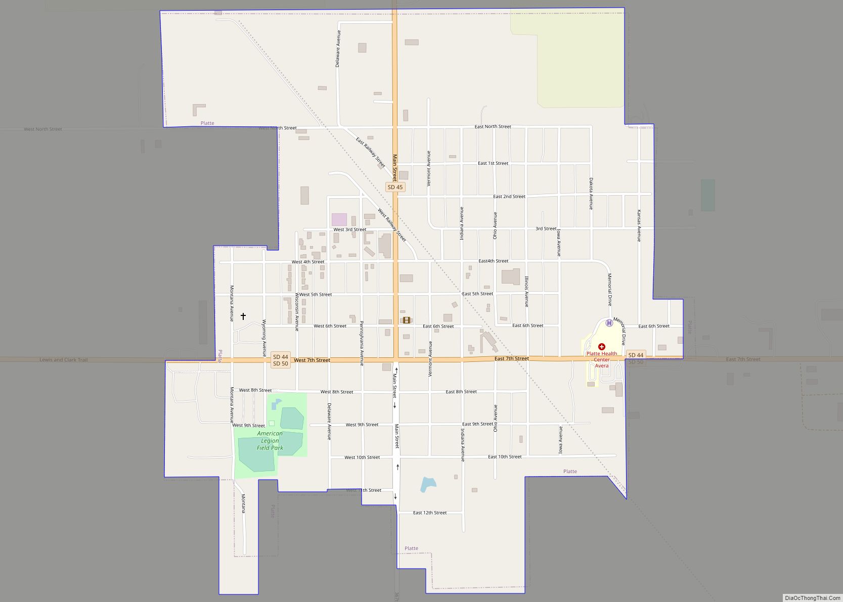
Platte is a city in Charles Mix County, South Dakota, United States. The population was 1,311 at the 2022 census. The community is named after the Platte Creek, a tributary of the Missouri River reservoir Lake Francis Case. Platte is located 15 miles east of Lake Francis Case on the Missouri River.
| Name: | Platte city |
|---|---|
| LSAD Code: | 25 |
| LSAD Description: | city (suffix) |
| State: | South Dakota |
| County: | Charles Mix County |
| Incorporated: | 1907 |
| Elevation: | 1,601 ft (488 m) |
| Total Area: | 1.05 sq mi (2.73 km²) |
| Land Area: | 1.05 sq mi (2.73 km²) |
| Water Area: | 0.00 sq mi (0.00 km²) |
| Total Population: | 1,296 |
| Population Density: | 1,230.77/sq mi (475.39/km²) |
| ZIP code: | 57369 |
| Area code: | 605 |
| FIPS code: | 4650260 |
| GNISfeature ID: | 1265682 |
| Website: | http://www.plattesd.org/ |
Online Interactive Map
Click on ![]() to view map in "full screen" mode.
to view map in "full screen" mode.
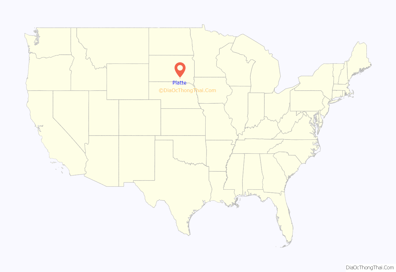
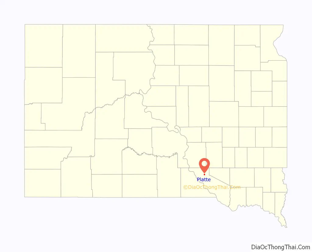
Platte location map. Where is Platte city?
History
Lewis and Clark were told to watch for ‘burning bluffs’ in the area. Settlement began in the early 1880s. A fur trader named Bernard Pratte once lived at the mouth of what was then known as the ‘Fish Creek’. Pratte’s last name was mistakenly transcribed as Platte on an early map of the creek and the spelling error stuck. The town that would become Platte was named after the creek.
For 12 years, Charles Mix County was the only county in the state of South Dakota without a railroad. Platte originated in the summer of 1900 after it was selected as the terminus for a Chicago, Milwaukee, and St. Paul railroad branch line from Yankton. The railroad arrived in October and buildings were moved from the nearby settlements of Castalia, Old Platte, and Edgerton. The Platte Enterprise newspaper was founded in 1900 and is still published today.
The Great Depression and drought of the 1930s led to unemployment and out-migration in the area. A dam was constructed on the Platte Creek during this time. The area became a place for picnics and recreation. In 1956, the Fort Randall Dam was completed creating Lake Francis Case. In 1966, the Platte-Winner Bridge was completed over the lake giving travelers a new route to and from the Black Hills.
Platte Road Map
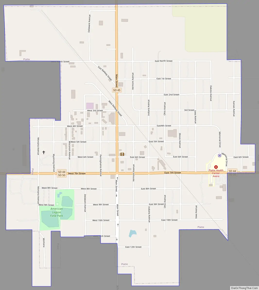
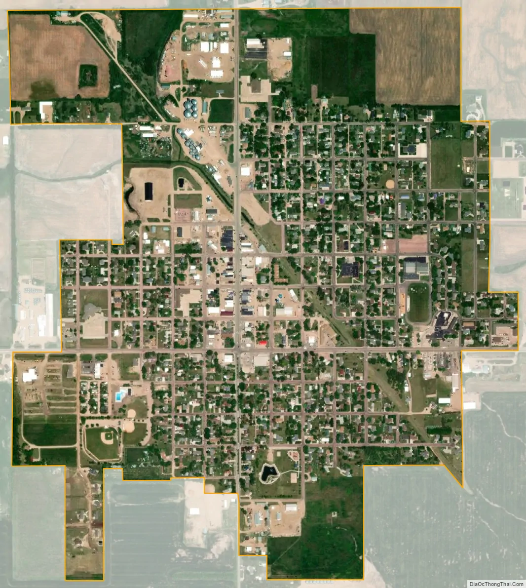
Platte city Satellite Map
Geography
Platte is located at 43°23′11″N 98°50′34″W / 43.38639°N 98.84278°W / 43.38639; -98.84278 (43.386321, -98.842736).
According to the United States Census Bureau, the city has a total area of 1.02 square miles (2.64 km), all land.
The community is situated at the junction of Routes 44 and 45.
Climate
This climatic region is typified by large seasonal temperature differences, with warm to hot (and often humid) summers and cold (sometimes severely cold) winters. According to the Köppen Climate Classification system, Platte has a humid continental climate, abbreviated “Dfa” on climate maps.
See also
Map of South Dakota State and its subdivision:- Aurora
- Beadle
- Bennett
- Bon Homme
- Brookings
- Brown
- Brule
- Buffalo
- Butte
- Campbell
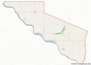
- Charles Mix
- Clark
- Clay
- Codington
- Corson
- Custer
- Davison
- Day
- Deuel
- Dewey
- Douglas
- Edmunds
- Fall River
- Faulk
- Grant
- Gregory
- Haakon
- Hamlin
- Hand
- Hanson
- Harding
- Hughes
- Hutchinson
- Hyde
- Jackson
- Jerauld
- Jones
- Kingsbury
- Lake
- Lawrence
- Lincoln
- Lyman
- Marshall
- McCook
- McPherson
- Meade
- Mellette
- Miner
- Minnehaha
- Moody
- Pennington
- Perkins
- Potter
- Roberts
- Sanborn
- Shannon
- Spink
- Stanley
- Sully
- Todd
- Tripp
- Turner
- Union
- Walworth
- Yankton
- Ziebach
- Alabama
- Alaska
- Arizona
- Arkansas
- California
- Colorado
- Connecticut
- Delaware
- District of Columbia
- Florida
- Georgia
- Hawaii
- Idaho
- Illinois
- Indiana
- Iowa
- Kansas
- Kentucky
- Louisiana
- Maine
- Maryland
- Massachusetts
- Michigan
- Minnesota
- Mississippi
- Missouri
- Montana
- Nebraska
- Nevada
- New Hampshire
- New Jersey
- New Mexico
- New York
- North Carolina
- North Dakota
- Ohio
- Oklahoma
- Oregon
- Pennsylvania
- Rhode Island
- South Carolina
- South Dakota
- Tennessee
- Texas
- Utah
- Vermont
- Virginia
- Washington
- West Virginia
- Wisconsin
- Wyoming