Rapid Valley is a census-designated place (CDP) and unincorporated community in Pennington County, South Dakota, United States, and a suburb of Rapid City. The population was 8,098 at the 2020 census. Rapid Valley has been a retreat for people living in Rapid City due to its low crime, cheap land, and views of the Black Hills. Rapid Valley is home to many industrial and financial businesses, and is the headquarters for many corporations specializing in transport and engineering.
| Name: | Rapid Valley CDP |
|---|---|
| LSAD Code: | 57 |
| LSAD Description: | CDP (suffix) |
| State: | South Dakota |
| County: | Pennington County |
| Elevation: | 3,156 ft (962 m) |
| Total Area: | 6.47 sq mi (16.75 km²) |
| Land Area: | 6.47 sq mi (16.75 km²) |
| Water Area: | 0.00 sq mi (0.00 km²) |
| Total Population: | 8,098 |
| Population Density: | 1,252.01/sq mi (483.42/km²) |
| Area code: | 605 |
| FIPS code: | 4653007 |
| GNISfeature ID: | 1259251 |
Online Interactive Map
Click on ![]() to view map in "full screen" mode.
to view map in "full screen" mode.
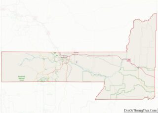
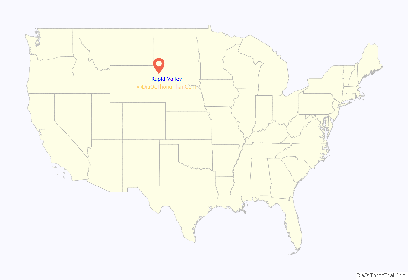
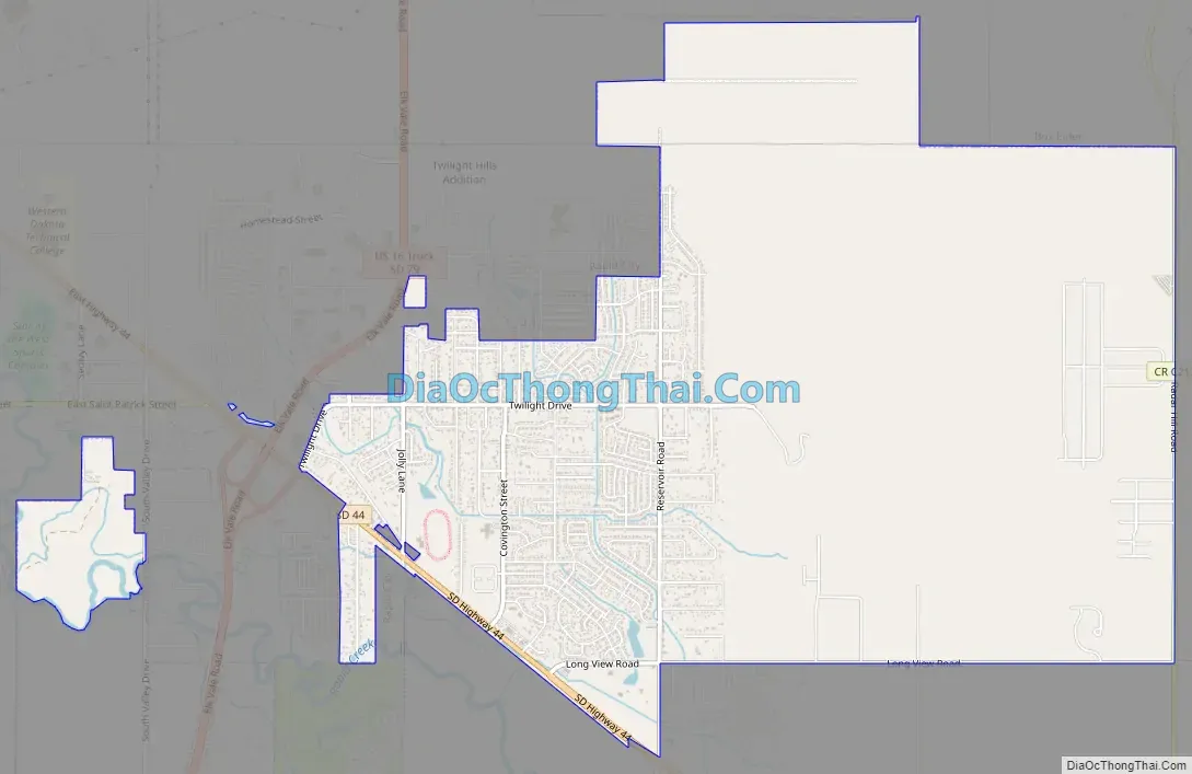
Rapid Valley location map. Where is Rapid Valley CDP?
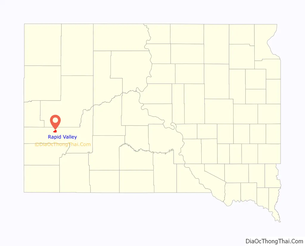
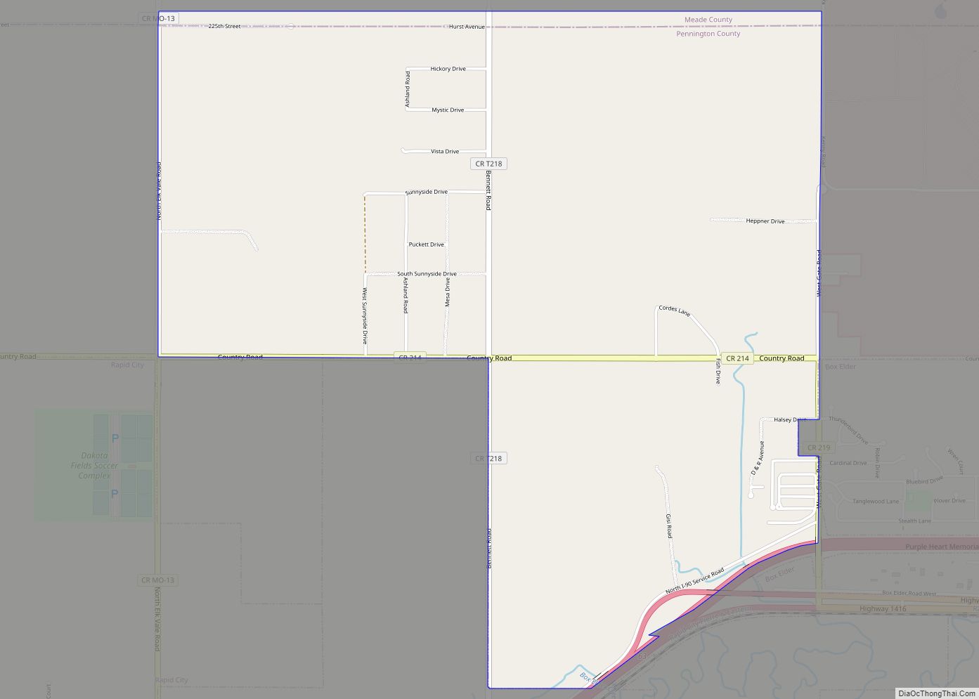
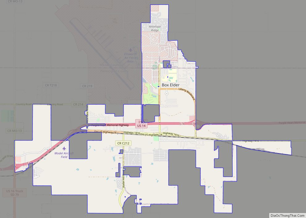
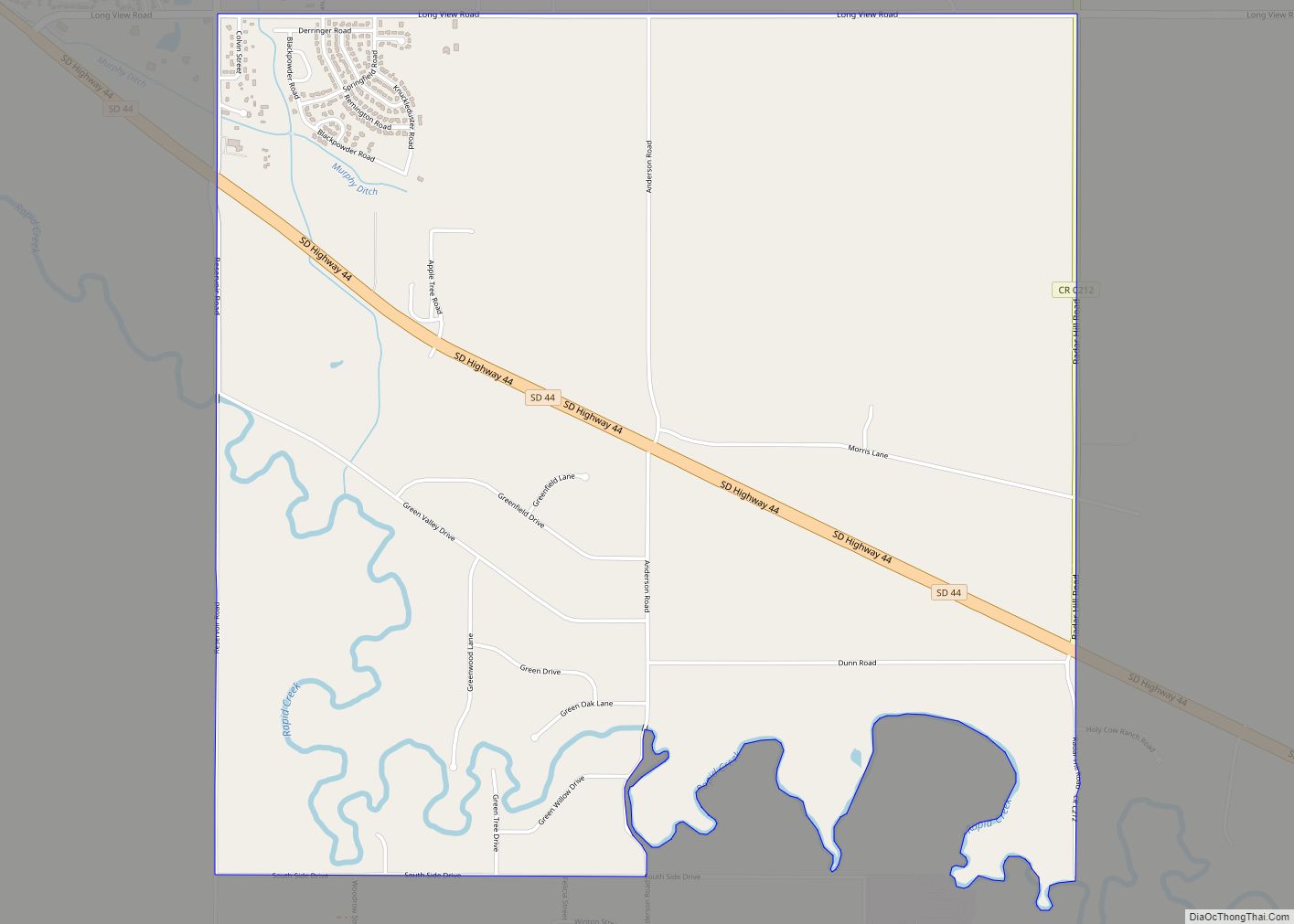
Rapid Valley Road Map
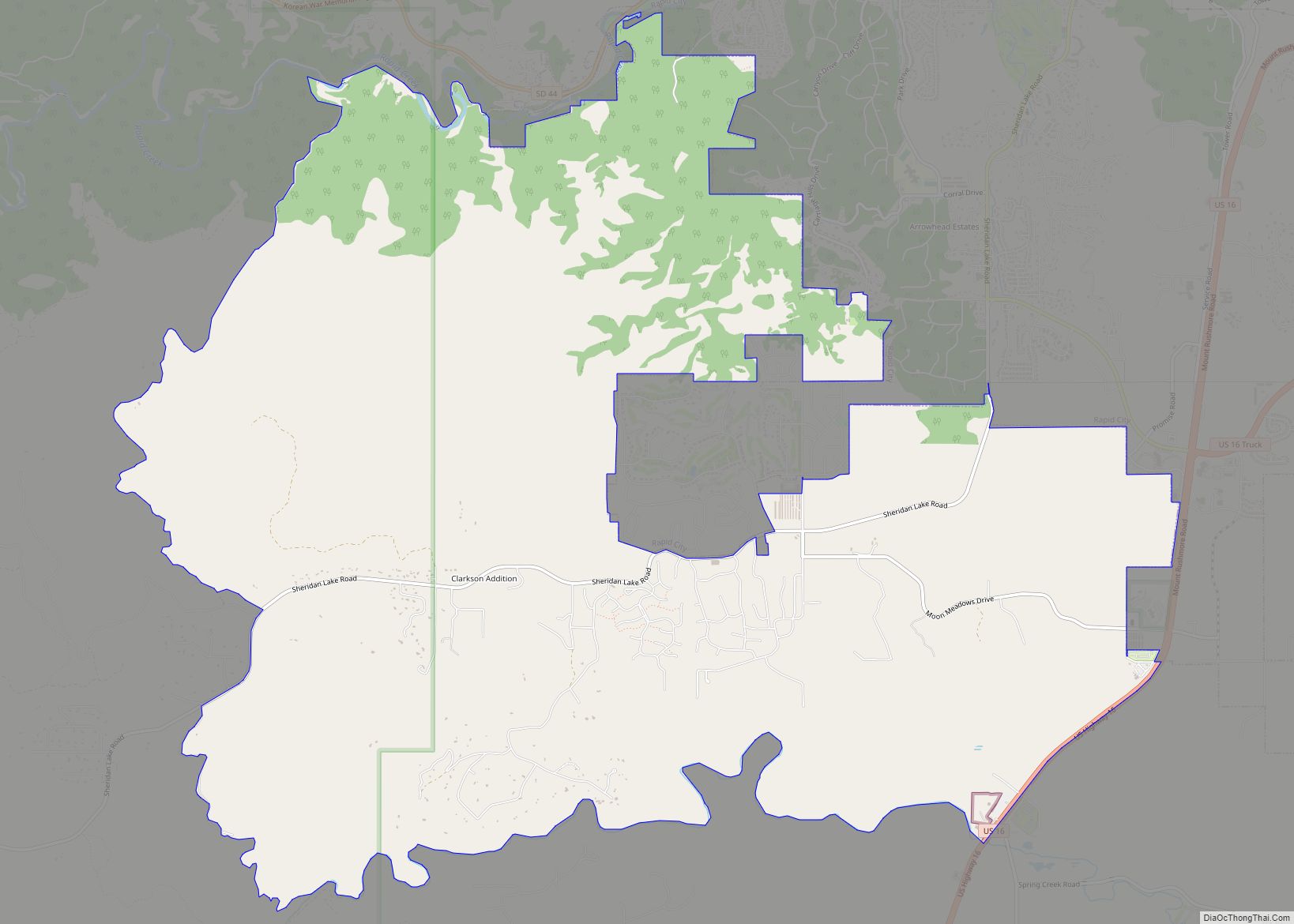
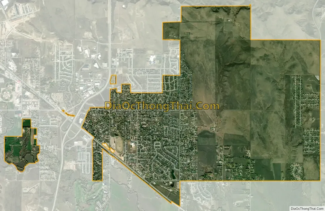
Rapid Valley city Satellite Map
Geography
Rapid Valley is located at 44°3′55″N 103°8′51″W / 44.06528°N 103.14750°W / 44.06528; -103.14750 (44.065296, −103.147427).
According to the United States Census Bureau, the CDP has a total area of 10.1 square miles (26.3 km), all land. Rapid Valley is considered an unincorporated suburb of Rapid City, and is located five minutes east of Rapid City on the prairie.
See also
Map of South Dakota State and its subdivision:- Aurora
- Beadle
- Bennett
- Bon Homme
- Brookings
- Brown
- Brule
- Buffalo
- Butte
- Campbell
- Charles Mix
- Clark
- Clay
- Codington
- Corson
- Custer
- Davison
- Day
- Deuel
- Dewey
- Douglas
- Edmunds
- Fall River
- Faulk
- Grant
- Gregory
- Haakon
- Hamlin
- Hand
- Hanson
- Harding
- Hughes
- Hutchinson
- Hyde
- Jackson
- Jerauld
- Jones
- Kingsbury
- Lake
- Lawrence
- Lincoln
- Lyman
- Marshall
- McCook
- McPherson
- Meade
- Mellette
- Miner
- Minnehaha
- Moody
- Pennington
- Perkins
- Potter
- Roberts
- Sanborn
- Shannon
- Spink
- Stanley
- Sully
- Todd
- Tripp
- Turner
- Union
- Walworth
- Yankton
- Ziebach
- Alabama
- Alaska
- Arizona
- Arkansas
- California
- Colorado
- Connecticut
- Delaware
- District of Columbia
- Florida
- Georgia
- Hawaii
- Idaho
- Illinois
- Indiana
- Iowa
- Kansas
- Kentucky
- Louisiana
- Maine
- Maryland
- Massachusetts
- Michigan
- Minnesota
- Mississippi
- Missouri
- Montana
- Nebraska
- Nevada
- New Hampshire
- New Jersey
- New Mexico
- New York
- North Carolina
- North Dakota
- Ohio
- Oklahoma
- Oregon
- Pennsylvania
- Rhode Island
- South Carolina
- South Dakota
- Tennessee
- Texas
- Utah
- Vermont
- Virginia
- Washington
- West Virginia
- Wisconsin
- Wyoming