Running Water is a census-designated place (CDP) in Bon Homme County, South Dakota, United States. The population was 47 at the 2020 census.
The community’s name Running Water is a former variant name of the nearby Niobrara River. The current mayor of Running Water is L.A. Cameron.
| Name: | Running Water CDP |
|---|---|
| LSAD Code: | 57 |
| LSAD Description: | CDP (suffix) |
| State: | South Dakota |
| County: | Bon Homme County |
| Elevation: | 1,251 ft (381 m) |
| Total Area: | 2.09 sq mi (5.42 km²) |
| Land Area: | 2.09 sq mi (5.42 km²) |
| Water Area: | 0.00 sq mi (0.00 km²) |
| Total Population: | 47 |
| Population Density: | 22.48/sq mi (8.68/km²) |
| Area code: | 605 |
| FIPS code: | 4656820 |
| GNISfeature ID: | 1257520 |
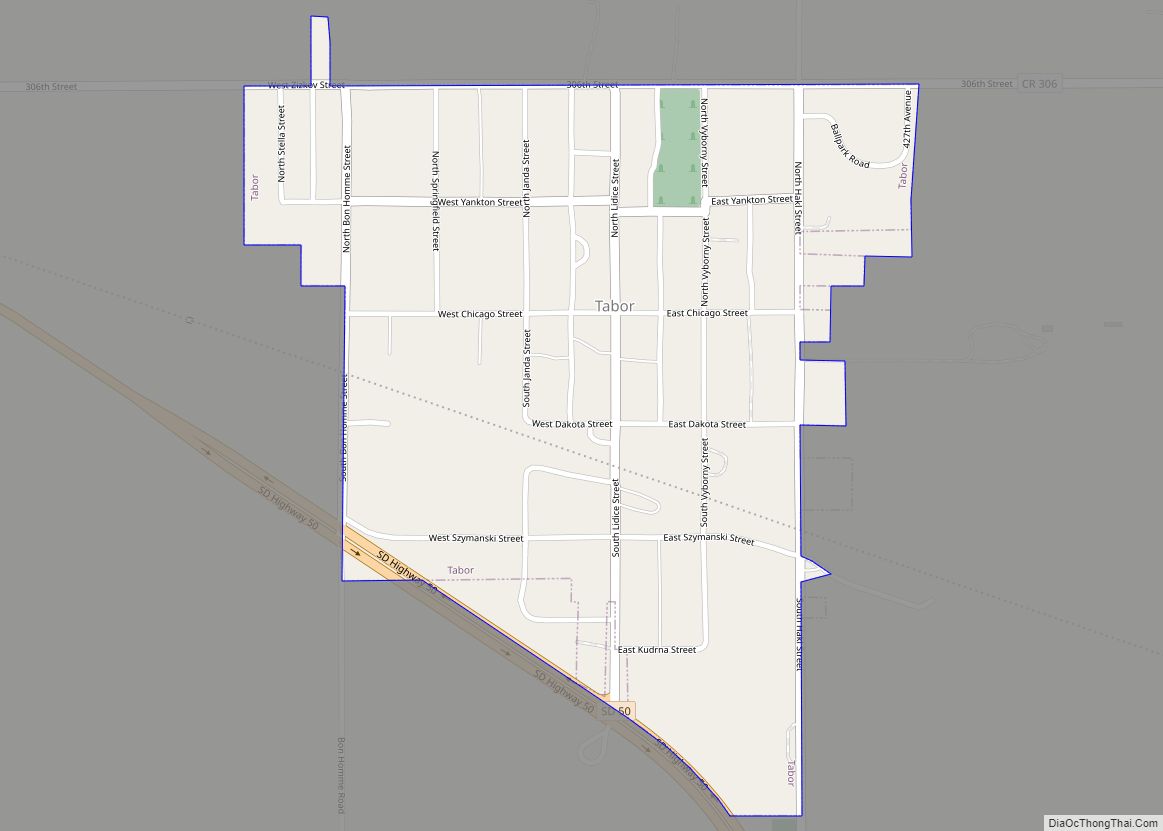
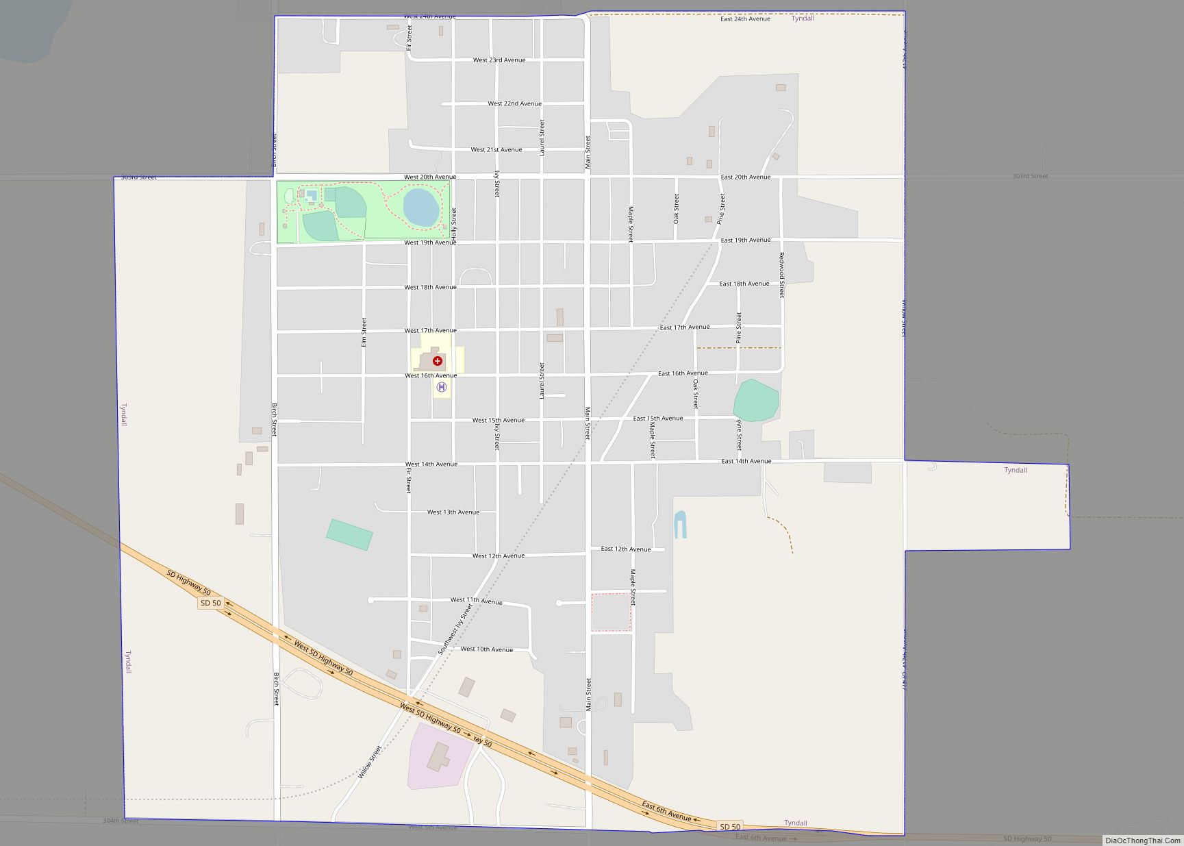
Online Interactive Map
Click on ![]() to view map in "full screen" mode.
to view map in "full screen" mode.
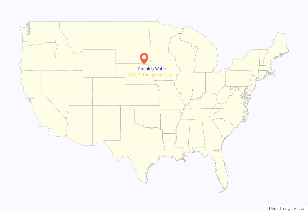
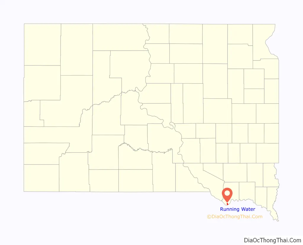
Running Water location map. Where is Running Water CDP?
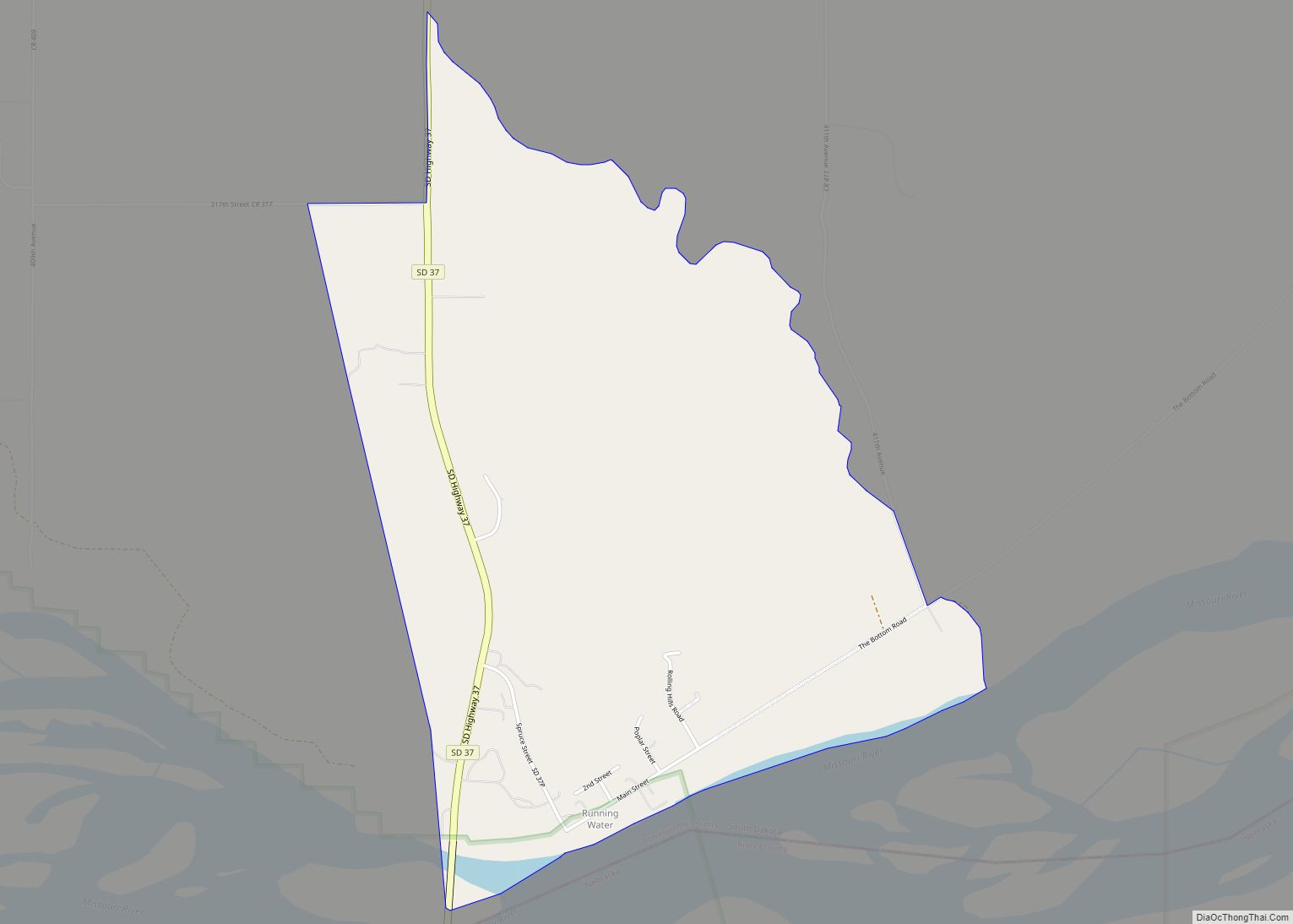
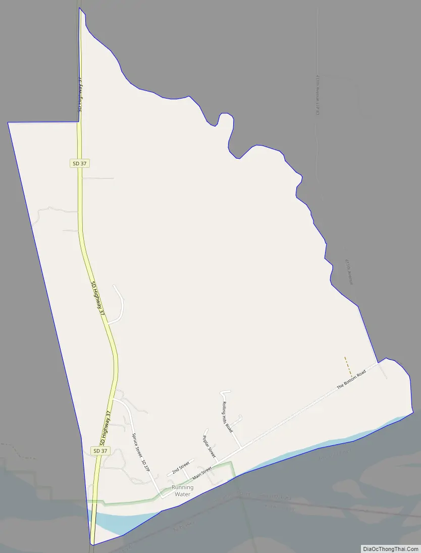
Running Water Road Map
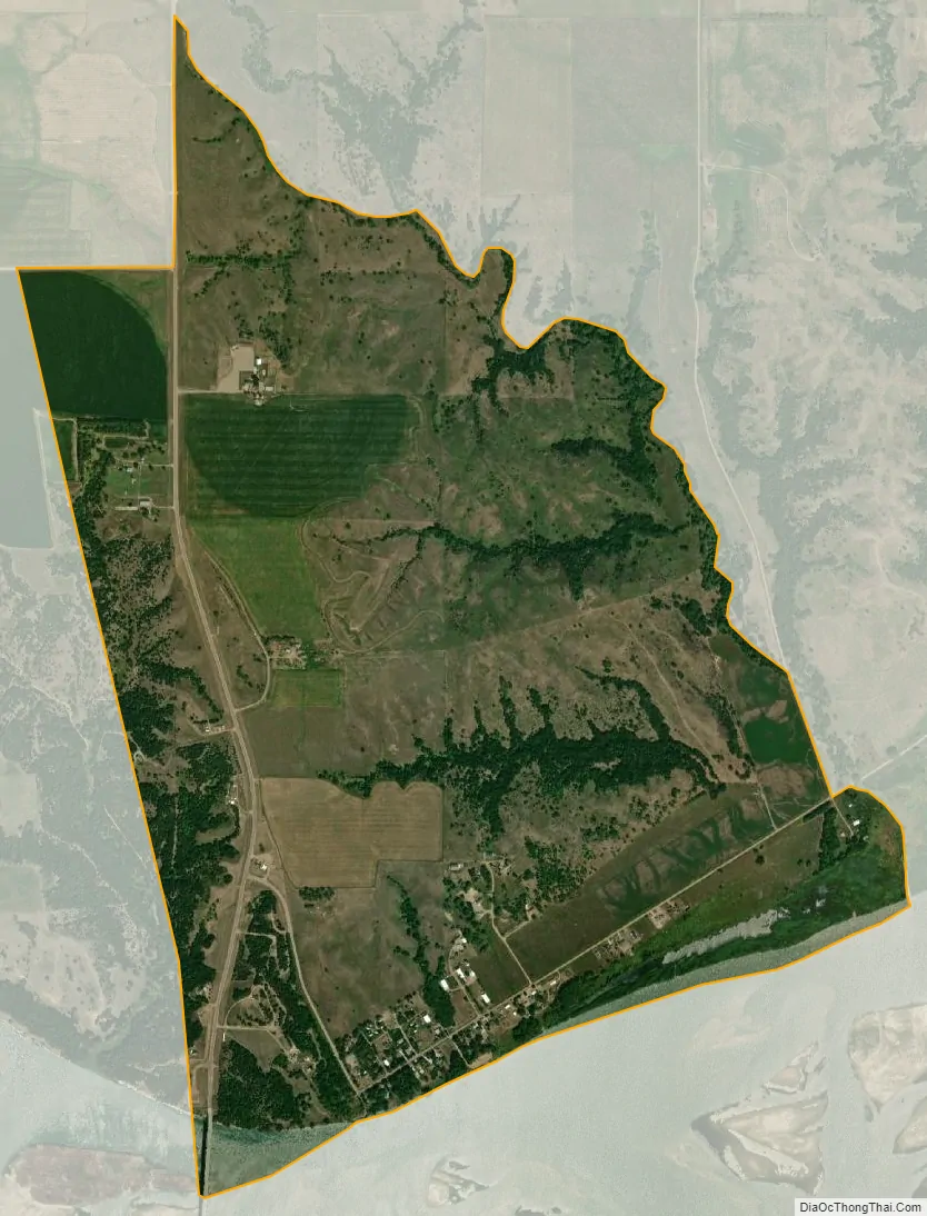
Running Water city Satellite Map
Geography
Running Water is located on the north side of the Missouri River in southern Bon Homme County along the South Dakota-Nebraska state line. South Dakota Highway 37 crosses the Missouri at Running Water, becoming Nebraska Highway 14 on the opposite shore. SD 37 leads north and east 10 miles (16 km) to Springfield, and NE 14 leads south and west 3 miles (5 km) to Niobrara.
According to the United States Census Bureau, the Running Water CDP has a total area of 2.1 square miles (5.4 km), all of it land.
Running Water is located along the upper portion of Lewis and Clark Lake, a Missouri River reservoir. The South Dakota Department of Game, Fish and Parks operates a small recreational area for lake and river access including a boat ramp at Running Water.
Running Water is famous for having a ferry boat operating during spring-fall, off and on, from 1874 to 1984. This boat would haul people and vehicles across the Missouri River, between Running Water SD and Niobrara NE. The fare at one time was $1 per vehicle. The need for such a service was reduced or eliminated by the construction of the modern Chief Standing Bear Bridge over the river for SD Highway 37 and NE Highway 14.
See also
Map of South Dakota State and its subdivision:- Aurora
- Beadle
- Bennett
- Bon Homme
- Brookings
- Brown
- Brule
- Buffalo
- Butte
- Campbell
- Charles Mix
- Clark
- Clay
- Codington
- Corson
- Custer
- Davison
- Day
- Deuel
- Dewey
- Douglas
- Edmunds
- Fall River
- Faulk
- Grant
- Gregory
- Haakon
- Hamlin
- Hand
- Hanson
- Harding
- Hughes
- Hutchinson
- Hyde
- Jackson
- Jerauld
- Jones
- Kingsbury
- Lake
- Lawrence
- Lincoln
- Lyman
- Marshall
- McCook
- McPherson
- Meade
- Mellette
- Miner
- Minnehaha
- Moody
- Pennington
- Perkins
- Potter
- Roberts
- Sanborn
- Shannon
- Spink
- Stanley
- Sully
- Todd
- Tripp
- Turner
- Union
- Walworth
- Yankton
- Ziebach
- Alabama
- Alaska
- Arizona
- Arkansas
- California
- Colorado
- Connecticut
- Delaware
- District of Columbia
- Florida
- Georgia
- Hawaii
- Idaho
- Illinois
- Indiana
- Iowa
- Kansas
- Kentucky
- Louisiana
- Maine
- Maryland
- Massachusetts
- Michigan
- Minnesota
- Mississippi
- Missouri
- Montana
- Nebraska
- Nevada
- New Hampshire
- New Jersey
- New Mexico
- New York
- North Carolina
- North Dakota
- Ohio
- Oklahoma
- Oregon
- Pennsylvania
- Rhode Island
- South Carolina
- South Dakota
- Tennessee
- Texas
- Utah
- Vermont
- Virginia
- Washington
- West Virginia
- Wisconsin
- Wyoming