Spencer is a city in McCook County, South Dakota, United States. The population was 136 at the 2020 census. The city was almost destroyed by a violent F4 tornado on May 30, 1998 which killed six people.
| Name: | Spencer city |
|---|---|
| LSAD Code: | 25 |
| LSAD Description: | city (suffix) |
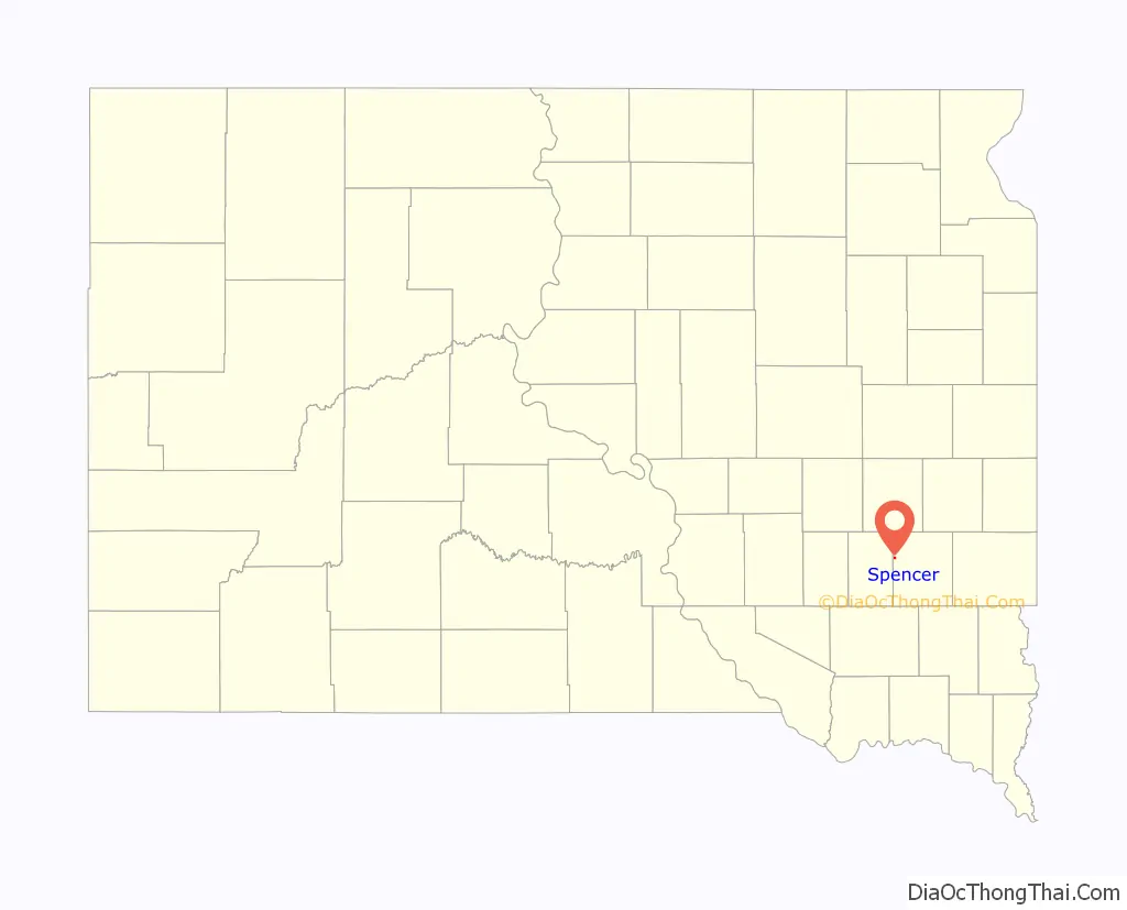
| State: | South Dakota |
| County: | McCook County |
| Incorporated: | 1917 |
| Elevation: | 1,385 ft (422 m) |
| Total Area: | 0.27 sq mi (0.69 km²) |
| Land Area: | 0.27 sq mi (0.69 km²) |
| Water Area: | 0.00 sq mi (0.00 km²) |
| Total Population: | 136 |
| Population Density: | 507.46/sq mi (195.83/km²) |
| ZIP code: | 57374 |
| Area code: | 605 |
| FIPS code: | 4660060 |
| GNISfeature ID: | 1258228 |
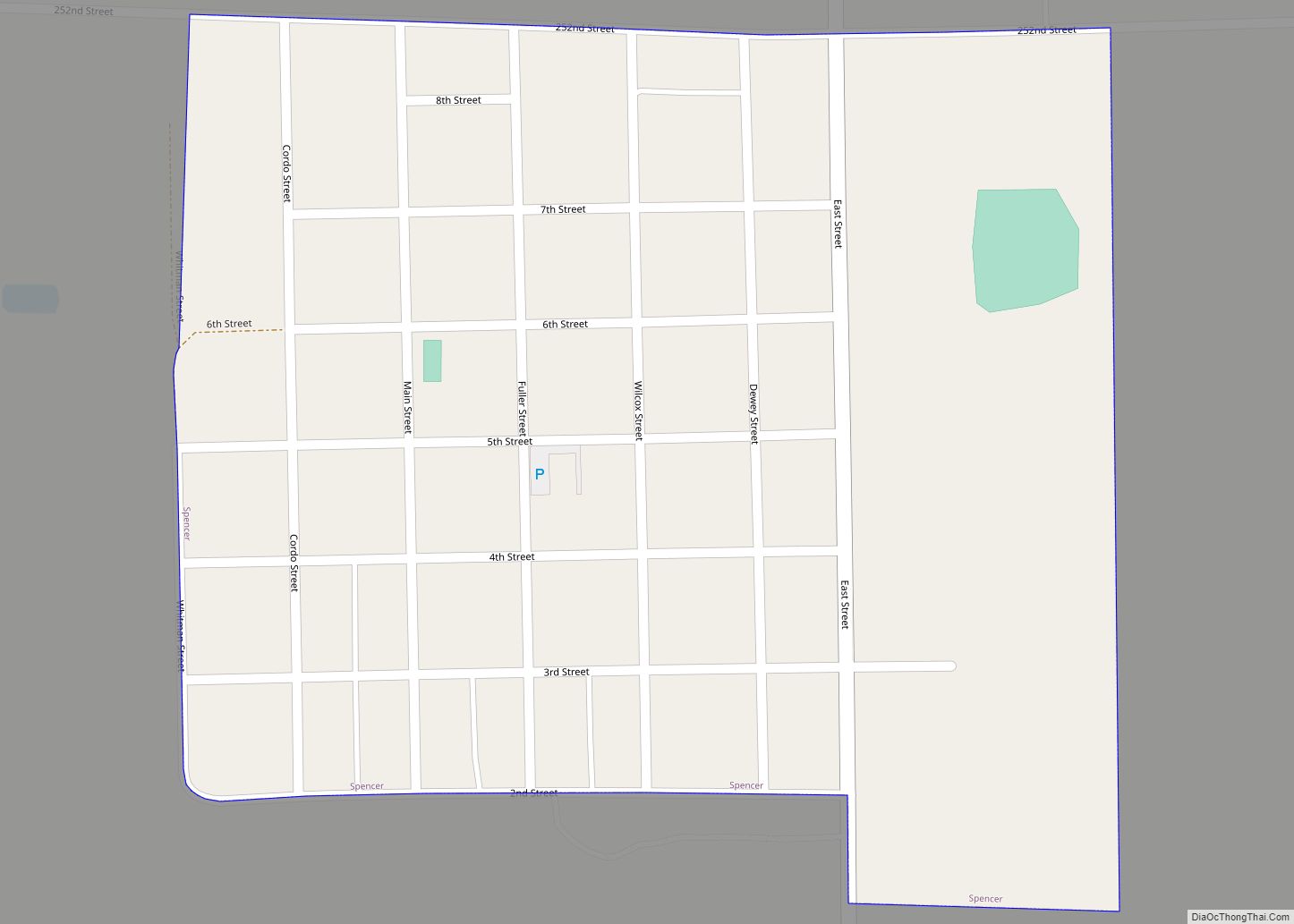
Online Interactive Map
Click on ![]() to view map in "full screen" mode.
to view map in "full screen" mode.
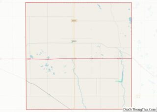
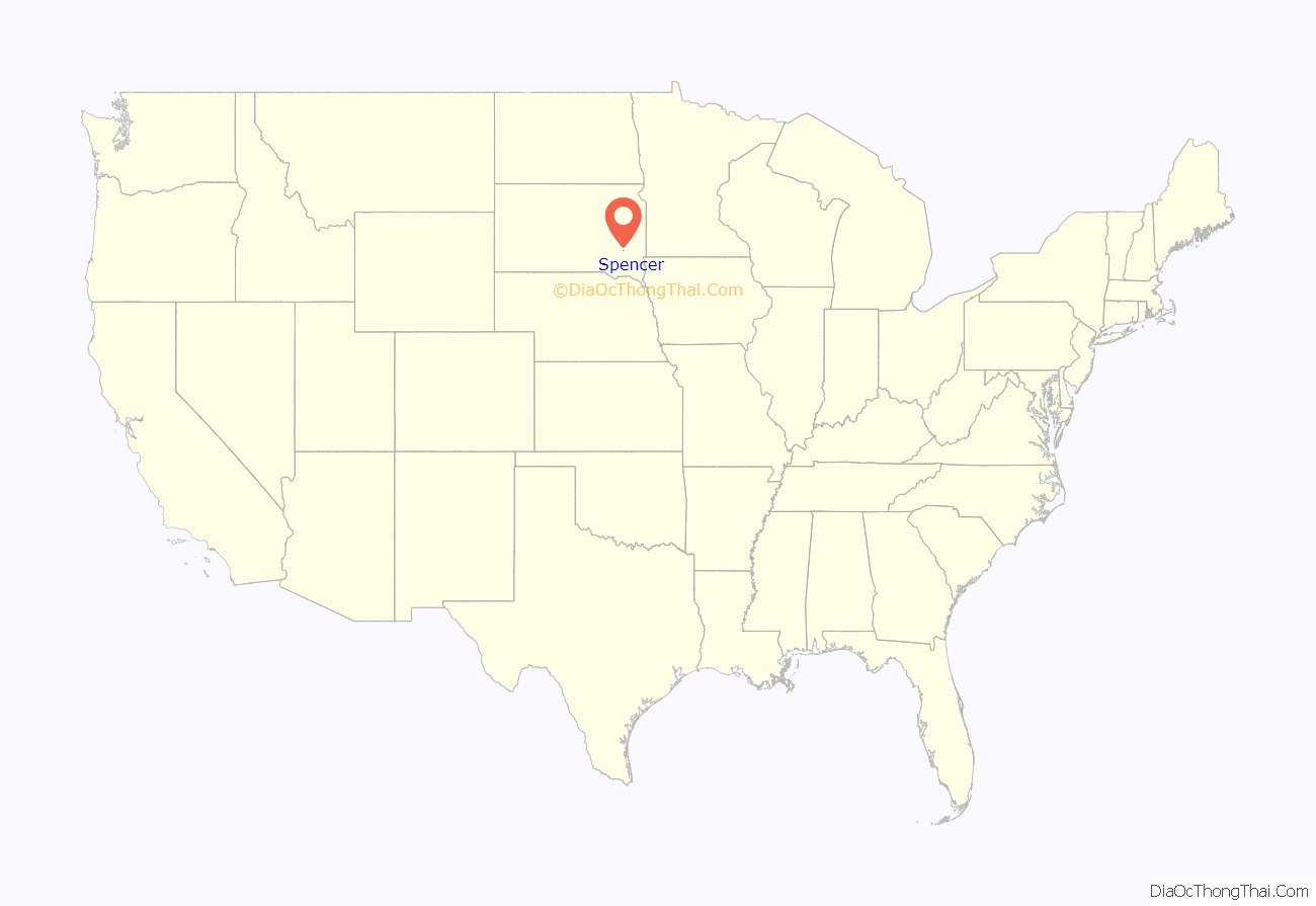
Spencer location map. Where is Spencer city?
History
Spencer was laid out in 1887 when the railroad was extended to that point. The city was named for H. Spencer, a railroad official. A post office has been in operation in Spencer since 1887. Spencer was officially incorporated in 1917.
1998 tornado
On May 30, 1998, the most destructive and second deadliest tornado in South Dakota history struck Spencer. It began as a large, dust-cloaked tornado northwest of Farmer in Hanson County, concurrent with the demise of the “Fulton” tornado. Continuing toward the east-southeast, it struck several farmsteads before crossing the Hanson/McCook County line a half mile west-northwest of Spencer. At this time, the tornado was being observed by the OU Doppler on Wheels crew, whose mobile Doppler radar data showed up to 264 mph winds in the tornado a few tens of meters above ground level. The population of the town diminished soon after to less than half of what it was previous to the tornado, from 315 to 145 in April 1999, and has since hovered around that mark.
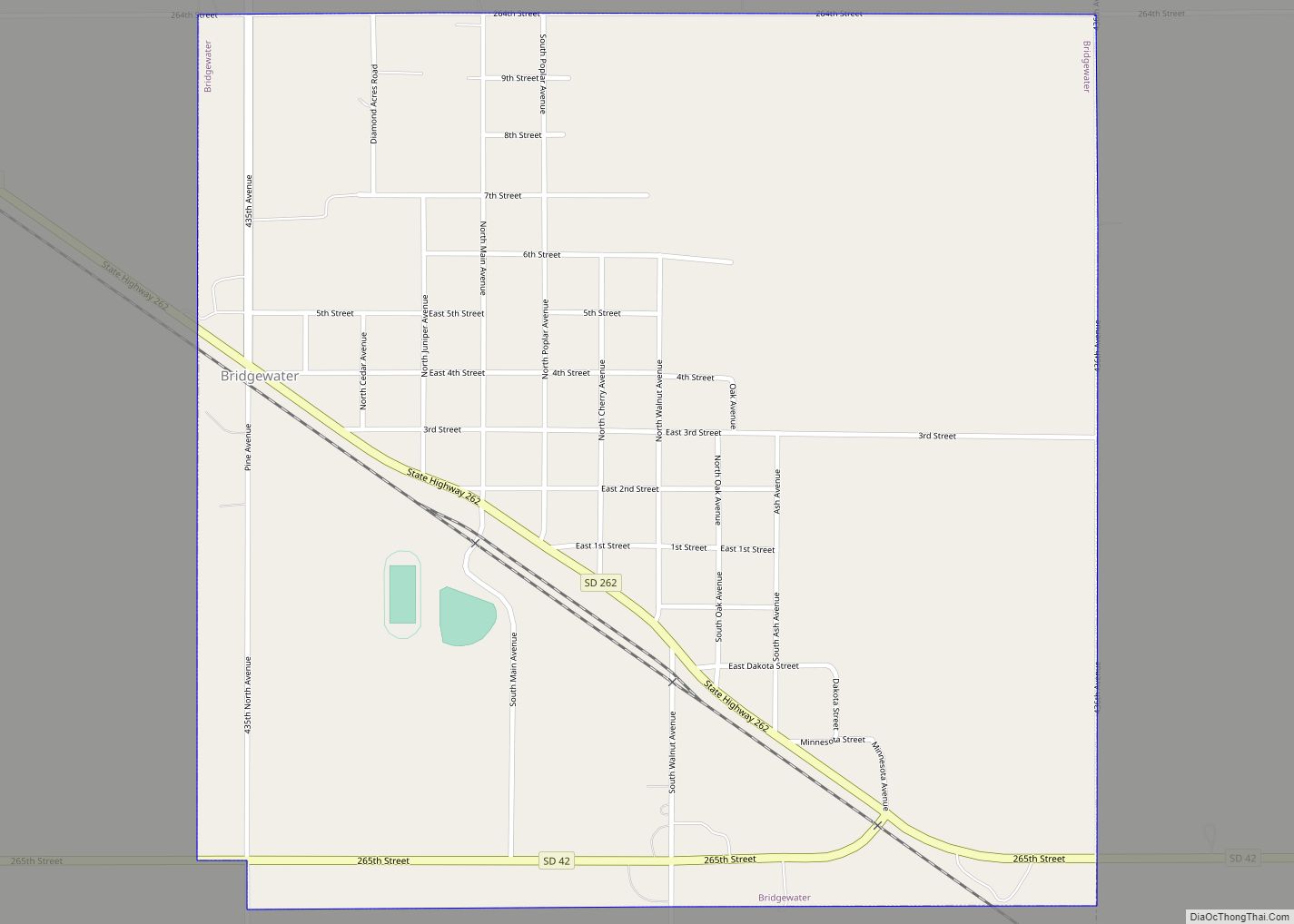
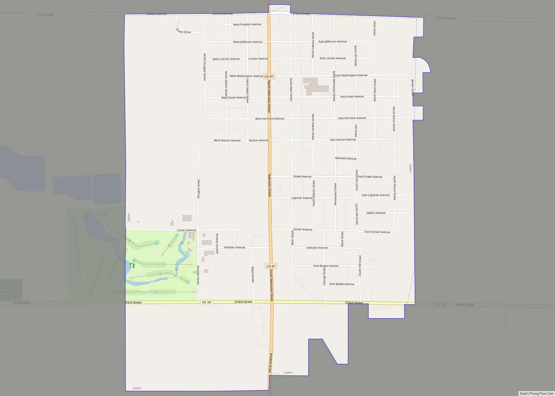
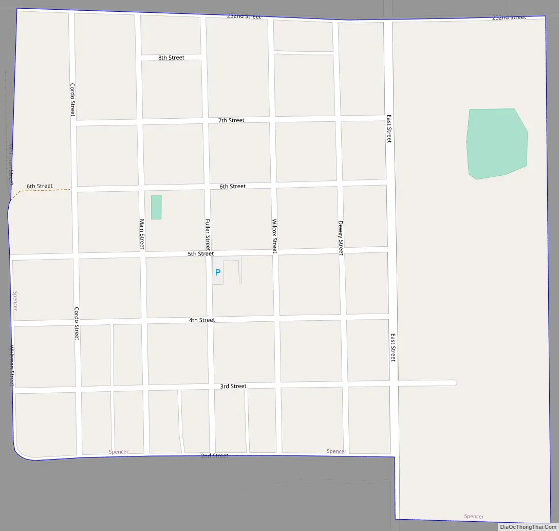
Spencer Road Map
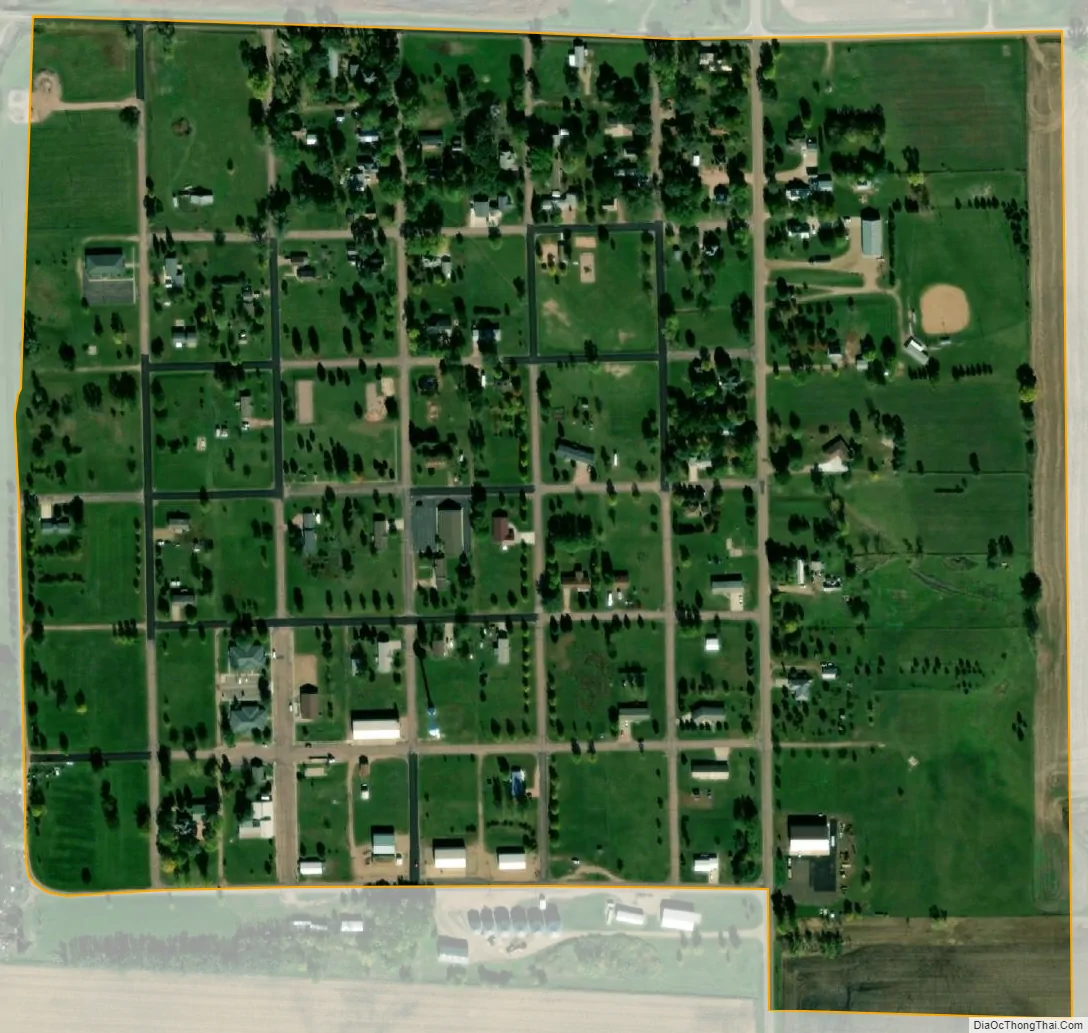
Spencer city Satellite Map
Geography
Spencer is located at 43°43′40″N 97°35′31″W / 43.72778°N 97.59194°W / 43.72778; -97.59194 (43.727853, -97.592033).
According to the United States Census Bureau, the city has a total area of 0.27 square miles (0.70 km), all land.
Spencer has been assigned the ZIP code 57374 and the FIPS place code 60060.
See also
Map of South Dakota State and its subdivision:- Aurora
- Beadle
- Bennett
- Bon Homme
- Brookings
- Brown
- Brule
- Buffalo
- Butte
- Campbell
- Charles Mix
- Clark
- Clay
- Codington
- Corson
- Custer
- Davison
- Day
- Deuel
- Dewey
- Douglas
- Edmunds
- Fall River
- Faulk
- Grant
- Gregory
- Haakon
- Hamlin
- Hand
- Hanson
- Harding
- Hughes
- Hutchinson
- Hyde
- Jackson
- Jerauld
- Jones
- Kingsbury
- Lake
- Lawrence
- Lincoln
- Lyman
- Marshall
- McCook
- McPherson
- Meade
- Mellette
- Miner
- Minnehaha
- Moody
- Pennington
- Perkins
- Potter
- Roberts
- Sanborn
- Shannon
- Spink
- Stanley
- Sully
- Todd
- Tripp
- Turner
- Union
- Walworth
- Yankton
- Ziebach
- Alabama
- Alaska
- Arizona
- Arkansas
- California
- Colorado
- Connecticut
- Delaware
- District of Columbia
- Florida
- Georgia
- Hawaii
- Idaho
- Illinois
- Indiana
- Iowa
- Kansas
- Kentucky
- Louisiana
- Maine
- Maryland
- Massachusetts
- Michigan
- Minnesota
- Mississippi
- Missouri
- Montana
- Nebraska
- Nevada
- New Hampshire
- New Jersey
- New Mexico
- New York
- North Carolina
- North Dakota
- Ohio
- Oklahoma
- Oregon
- Pennsylvania
- Rhode Island
- South Carolina
- South Dakota
- Tennessee
- Texas
- Utah
- Vermont
- Virginia
- Washington
- West Virginia
- Wisconsin
- Wyoming