Twin Brooks is a town in Grant County, South Dakota, United States. The population was 47 at the 2020 census.
Twin Brooks was named for two small streams near the town site; an early variant name was Two Creeks.
| Name: | Twin Brooks town |
|---|---|
| LSAD Code: | 43 |
| LSAD Description: | town (suffix) |
| State: | South Dakota |
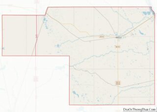
| County: | Grant County |
| Incorporated: | 1902 |
| Elevation: | 1,257 ft (383 m) |
| Total Area: | 0.41 sq mi (1.05 km²) |
| Land Area: | 0.41 sq mi (1.05 km²) |
| Water Area: | 0.00 sq mi (0.00 km²) |
| Total Population: | 47 |
| Population Density: | 115.76/sq mi (44.73/km²) |
| ZIP code: | 57269 |
| Area code: | 605 |
| FIPS code: | 4664700 |
| GNISfeature ID: | 1258658 |
Online Interactive Map
Click on ![]() to view map in "full screen" mode.
to view map in "full screen" mode.
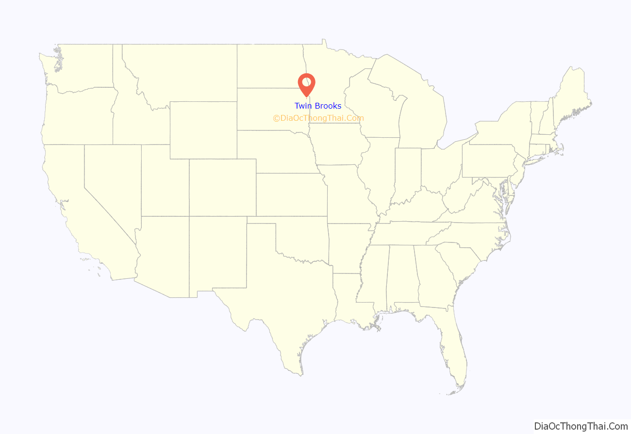
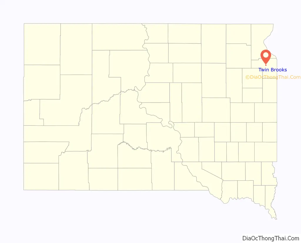
Twin Brooks location map. Where is Twin Brooks town?
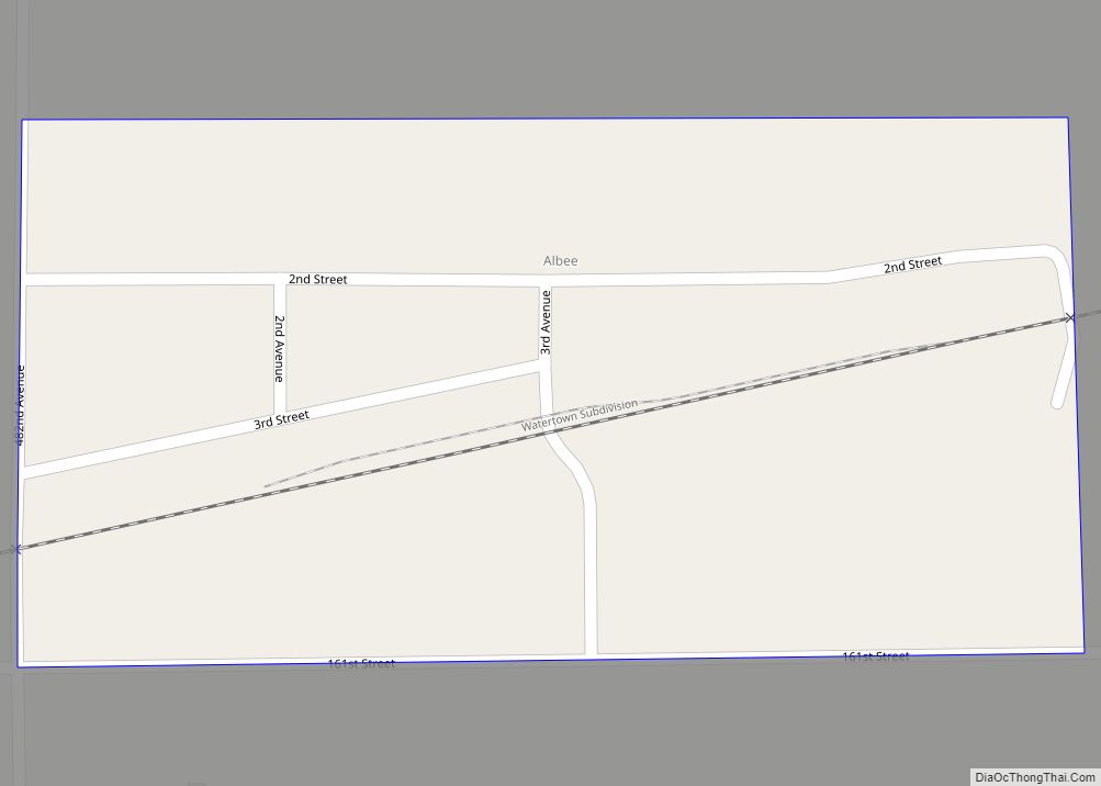
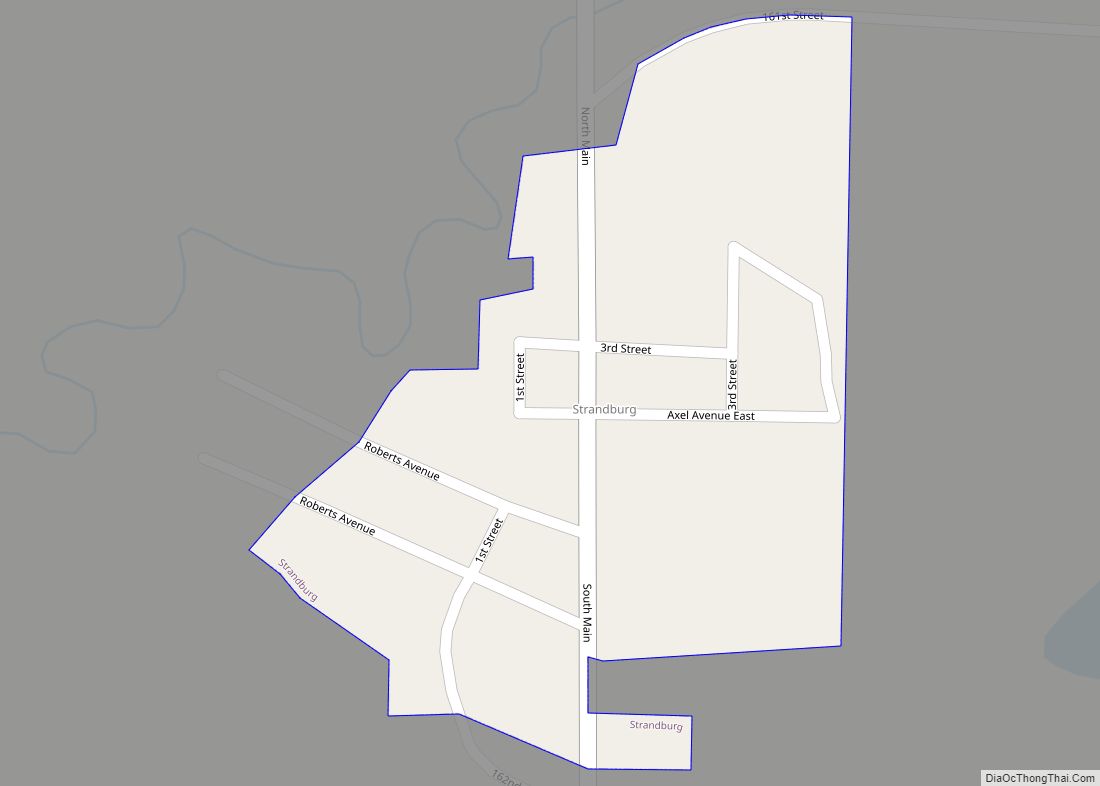
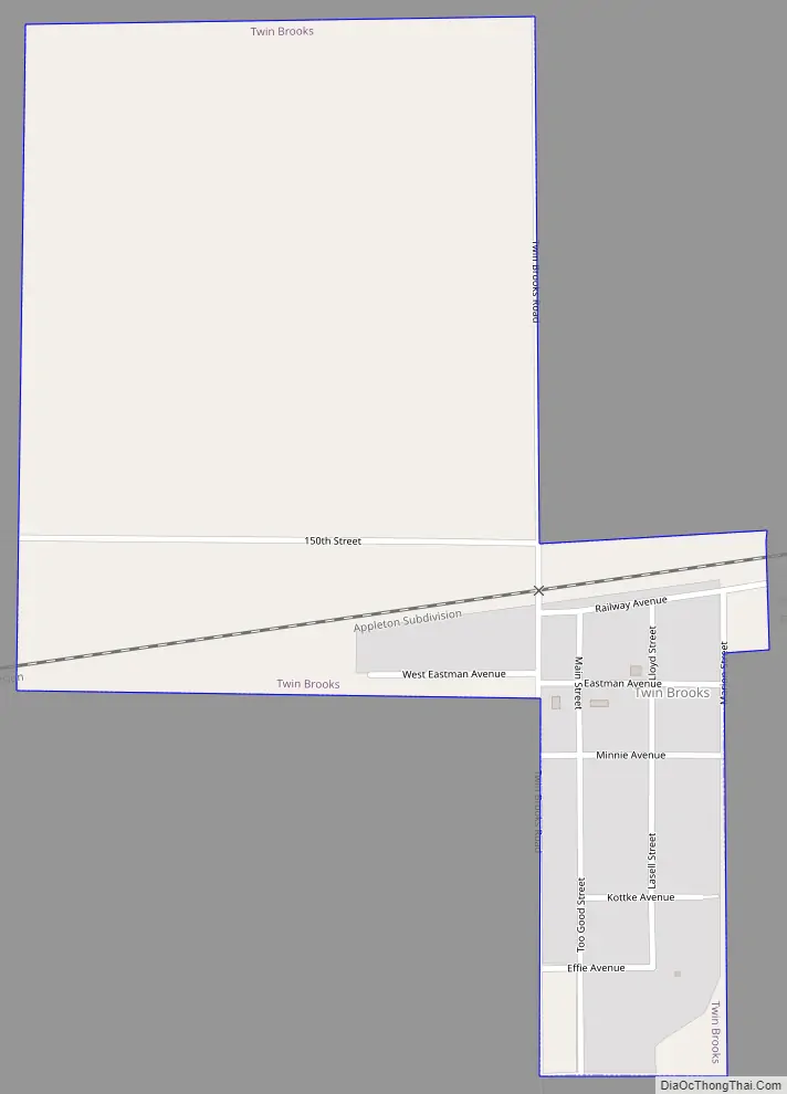
Twin Brooks Road Map
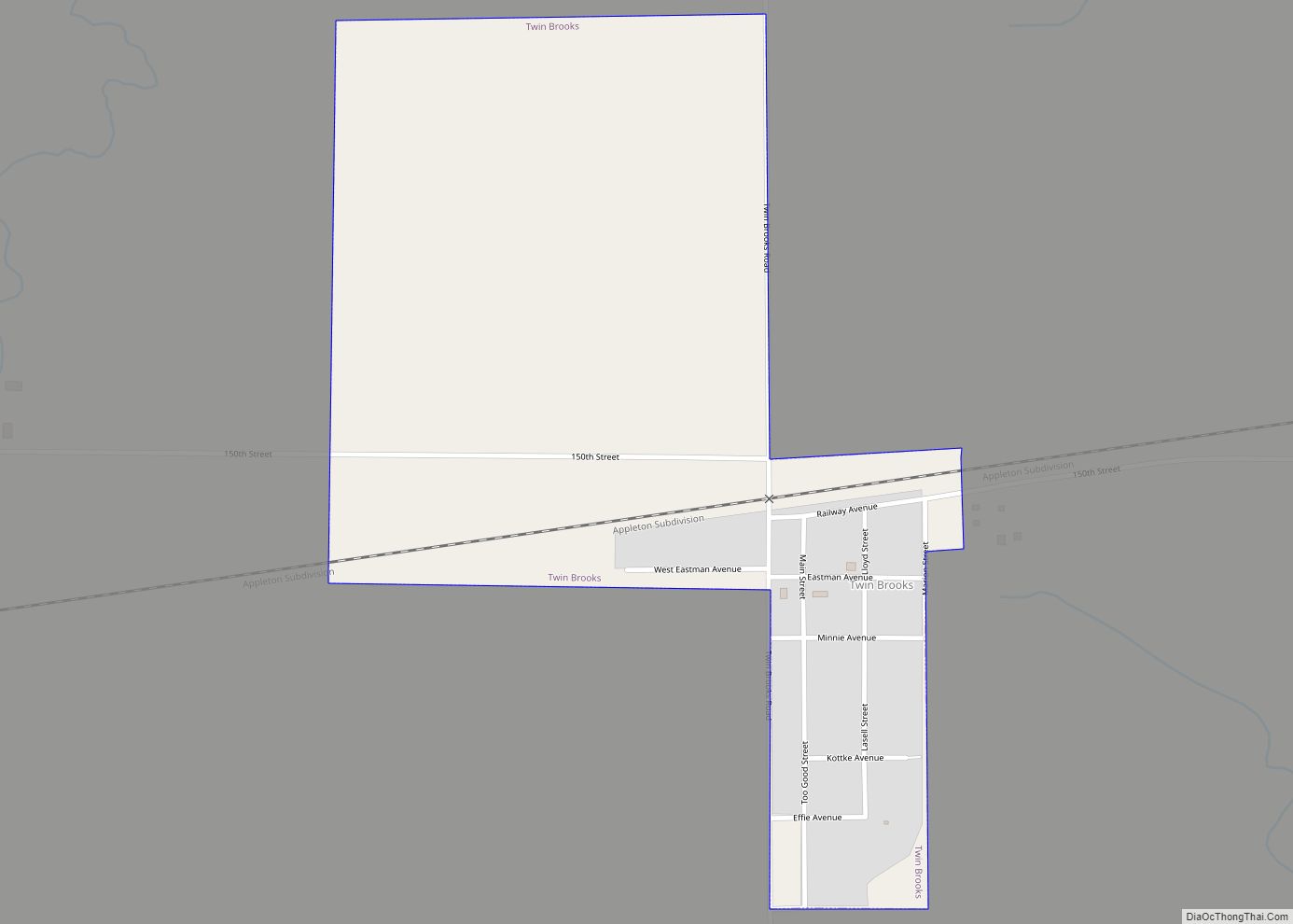
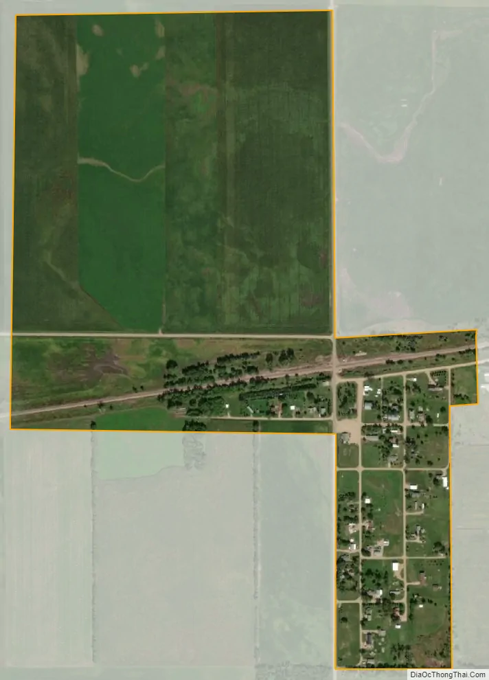
Twin Brooks city Satellite Map
Geography
Twin Brooks is located at 45°12′20″N 96°46′54″W / 45.20556°N 96.78167°W / 45.20556; -96.78167 (45.205510, -96.781717).
According to the United States Census Bureau, the town has a total area of 0.41 square miles (1.06 km), all land.
Twin Brooks has been assigned the ZIP code 57269 and the FIPS place code 64700.
See also
Map of South Dakota State and its subdivision:- Aurora
- Beadle
- Bennett
- Bon Homme
- Brookings
- Brown
- Brule
- Buffalo
- Butte
- Campbell
- Charles Mix
- Clark
- Clay
- Codington
- Corson
- Custer
- Davison
- Day
- Deuel
- Dewey
- Douglas
- Edmunds
- Fall River
- Faulk
- Grant
- Gregory
- Haakon
- Hamlin
- Hand
- Hanson
- Harding
- Hughes
- Hutchinson
- Hyde
- Jackson
- Jerauld
- Jones
- Kingsbury
- Lake
- Lawrence
- Lincoln
- Lyman
- Marshall
- McCook
- McPherson
- Meade
- Mellette
- Miner
- Minnehaha
- Moody
- Pennington
- Perkins
- Potter
- Roberts
- Sanborn
- Shannon
- Spink
- Stanley
- Sully
- Todd
- Tripp
- Turner
- Union
- Walworth
- Yankton
- Ziebach
- Alabama
- Alaska
- Arizona
- Arkansas
- California
- Colorado
- Connecticut
- Delaware
- District of Columbia
- Florida
- Georgia
- Hawaii
- Idaho
- Illinois
- Indiana
- Iowa
- Kansas
- Kentucky
- Louisiana
- Maine
- Maryland
- Massachusetts
- Michigan
- Minnesota
- Mississippi
- Missouri
- Montana
- Nebraska
- Nevada
- New Hampshire
- New Jersey
- New Mexico
- New York
- North Carolina
- North Dakota
- Ohio
- Oklahoma
- Oregon
- Pennsylvania
- Rhode Island
- South Carolina
- South Dakota
- Tennessee
- Texas
- Utah
- Vermont
- Virginia
- Washington
- West Virginia
- Wisconsin
- Wyoming