Wallace is a town in Codington County, South Dakota, United States. The population was 91 at the 2020 census. It is part of the Watertown, South Dakota Micropolitan Statistical Area.
| Name: | Wallace town |
|---|---|
| LSAD Code: | 43 |
| LSAD Description: | town (suffix) |
| State: | South Dakota |
| County: | Codington County |
| Incorporated: | 1908 |
| Elevation: | 1,778 ft (542 m) |
| Total Area: | 0.13 sq mi (0.34 km²) |
| Land Area: | 0.13 sq mi (0.34 km²) |
| Water Area: | 0.00 sq mi (0.00 km²) |
| Total Population: | 91 |
| Population Density: | 684.21/sq mi (264.13/km²) |
| ZIP code: | 57272 |
| Area code: | 605 |
| FIPS code: | 4668420 |
| GNISfeature ID: | 1258809 |
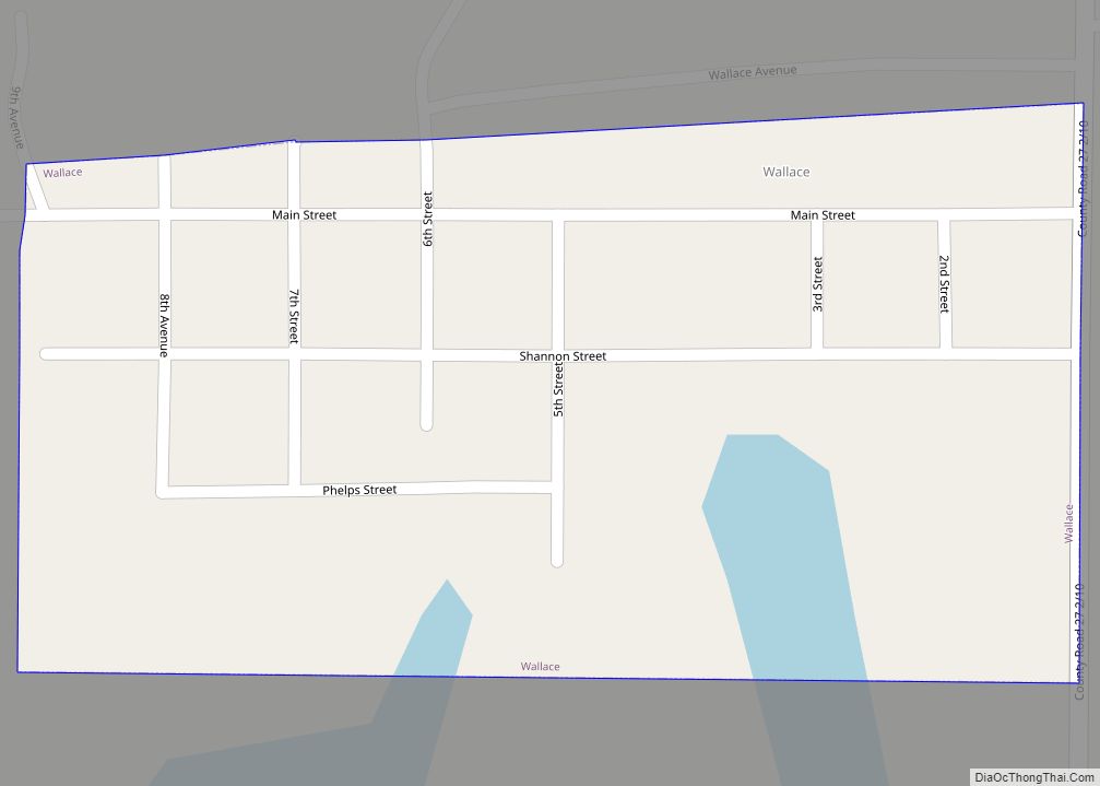
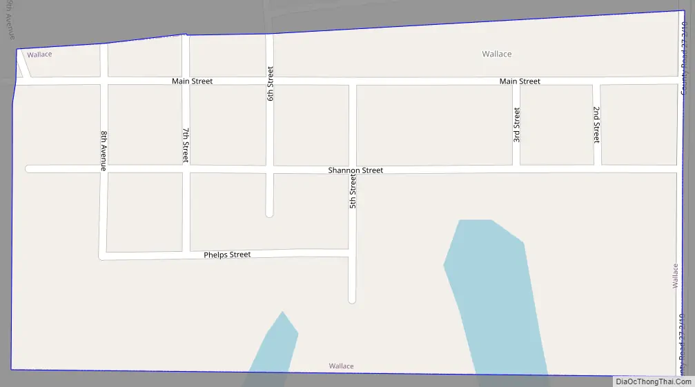
Online Interactive Map
Click on ![]() to view map in "full screen" mode.
to view map in "full screen" mode.
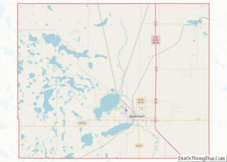
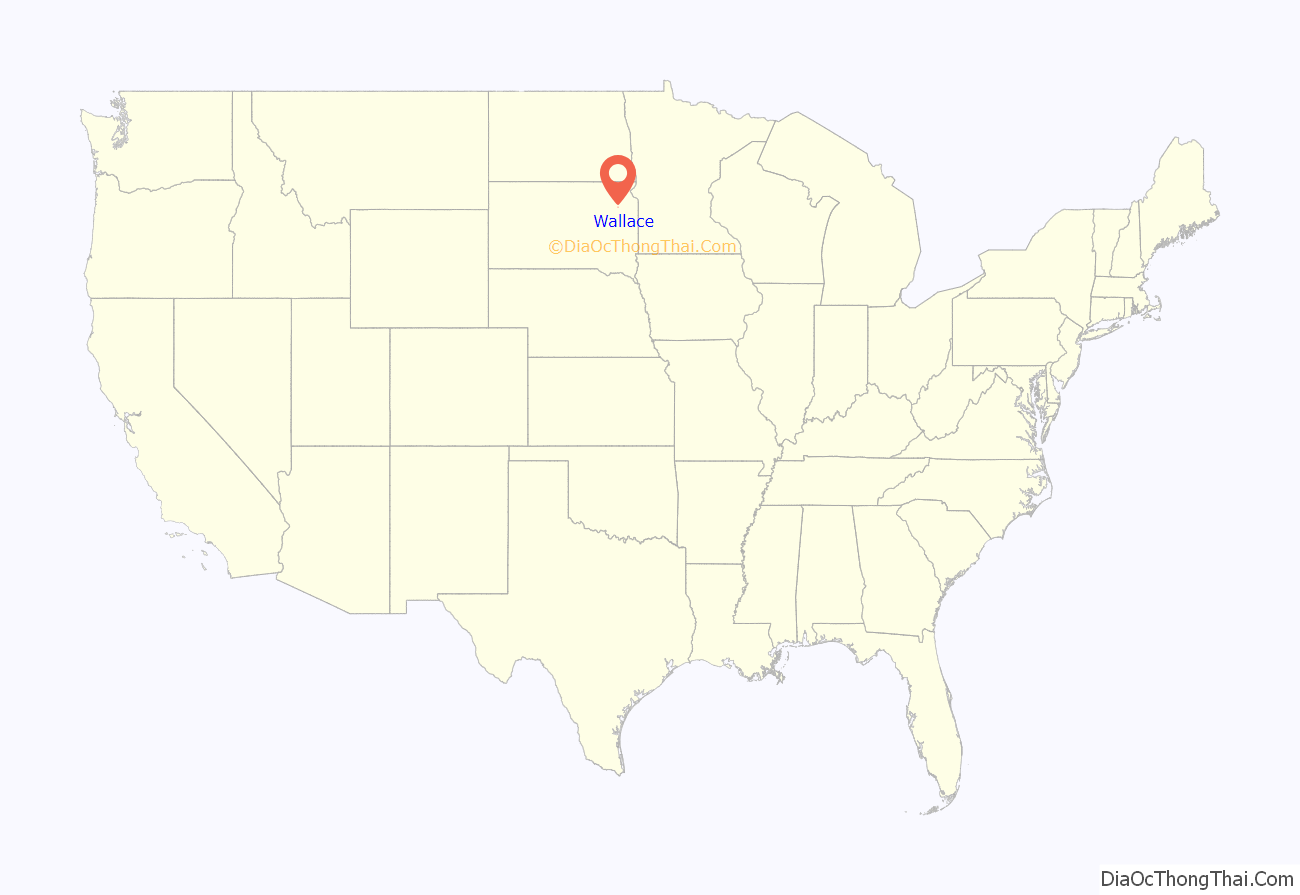
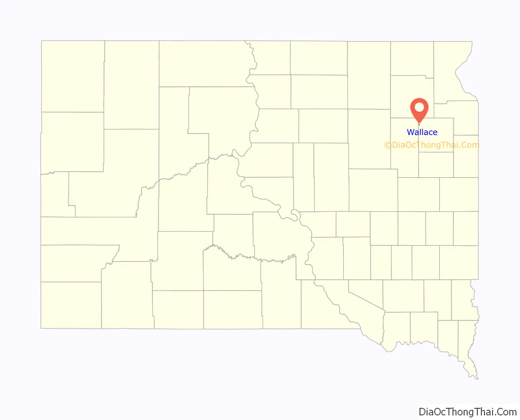
Wallace location map. Where is Wallace town?
History
The town was named for the original owner of the town site. Wallace is the birthplace of Hubert Humphrey, the Vice President of the United States from 1965 to 1969.
Hubert Humphrey was born in a room over his father’s drugstore in Wallace. He was the son of Ragnild Kristine Sannes (1883–1973), a Norwegian immigrant, and Hubert Horatio Humphrey Sr. (1882–1949). Humphrey spent most of his youth in nearby Doland, a town with a population of approximately 600. His father was a licensed pharmacist and merchant who served as mayor and a town council member; he also served briefly in the South Dakota state legislature and was a South Dakota delegate to the 1944 and 1948 Democratic National Conventions. In the late 1920s, a severe economic downturn hit Doland; both of the town’s banks closed and Humphrey’s father struggled to keep his store open.
After his son graduated from Doland High School, Hubert Sr. left the area and opened a new drugstore in the larger town of Huron (population 11,000), where he hoped to improve his fortunes.
Wallace Road Map
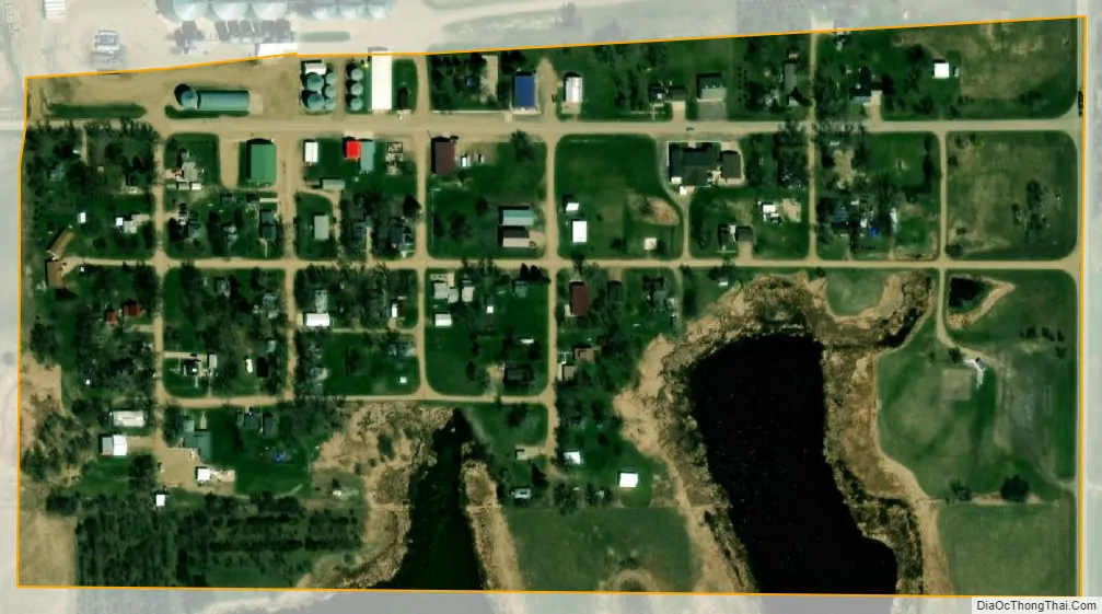
Wallace city Satellite Map
Geography
Wallace is located at 45°5′6″N 97°28′44″W / 45.08500°N 97.47889°W / 45.08500; -97.47889 (45.085069, -97.478896).
According to the United States Census Bureau, the town has a total area of 0.13 square miles (0.34 km), all land.
Wallace has been assigned the ZIP code 57272 and the FIPS place code 68420.
See also
Map of South Dakota State and its subdivision:- Aurora
- Beadle
- Bennett
- Bon Homme
- Brookings
- Brown
- Brule
- Buffalo
- Butte
- Campbell
- Charles Mix
- Clark
- Clay
- Codington
- Corson
- Custer
- Davison
- Day
- Deuel
- Dewey
- Douglas
- Edmunds
- Fall River
- Faulk
- Grant
- Gregory
- Haakon
- Hamlin
- Hand
- Hanson
- Harding
- Hughes
- Hutchinson
- Hyde
- Jackson
- Jerauld
- Jones
- Kingsbury
- Lake
- Lawrence
- Lincoln
- Lyman
- Marshall
- McCook
- McPherson
- Meade
- Mellette
- Miner
- Minnehaha
- Moody
- Pennington
- Perkins
- Potter
- Roberts
- Sanborn
- Shannon
- Spink
- Stanley
- Sully
- Todd
- Tripp
- Turner
- Union
- Walworth
- Yankton
- Ziebach
- Alabama
- Alaska
- Arizona
- Arkansas
- California
- Colorado
- Connecticut
- Delaware
- District of Columbia
- Florida
- Georgia
- Hawaii
- Idaho
- Illinois
- Indiana
- Iowa
- Kansas
- Kentucky
- Louisiana
- Maine
- Maryland
- Massachusetts
- Michigan
- Minnesota
- Mississippi
- Missouri
- Montana
- Nebraska
- Nevada
- New Hampshire
- New Jersey
- New Mexico
- New York
- North Carolina
- North Dakota
- Ohio
- Oklahoma
- Oregon
- Pennsylvania
- Rhode Island
- South Carolina
- South Dakota
- Tennessee
- Texas
- Utah
- Vermont
- Virginia
- Washington
- West Virginia
- Wisconsin
- Wyoming