Wessington is a city on the border between Beadle and Hand counties in South Dakota, United States. The population was 197 at the 2020 census.
The community hosts its annual Fun Days celebration each July.
| Name: | Wessington city |
|---|---|
| LSAD Code: | 25 |
| LSAD Description: | city (suffix) |
| State: | South Dakota |
| County: | Beadle County, Hand County |
| Incorporated: | 1915 |
| Elevation: | 1,417 ft (432 m) |
| Total Area: | 0.38 sq mi (0.98 km²) |
| Land Area: | 0.38 sq mi (0.98 km²) |
| Water Area: | 0.00 sq mi (0.00 km²) |
| Total Population: | 197 |
| Population Density: | 521.16/sq mi (201.35/km²) |
| ZIP code: | 57381 |
| Area code: | 605 |
| FIPS code: | 4670140 |
| GNISfeature ID: | 1267671 |
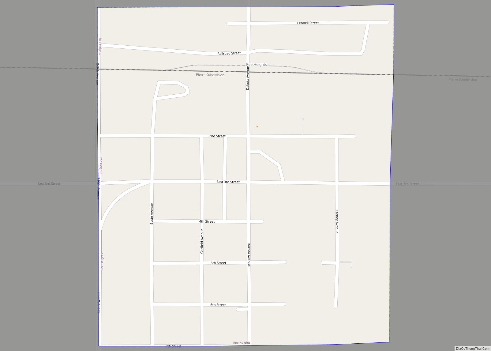
Online Interactive Map
Click on ![]() to view map in "full screen" mode.
to view map in "full screen" mode.
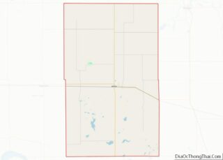
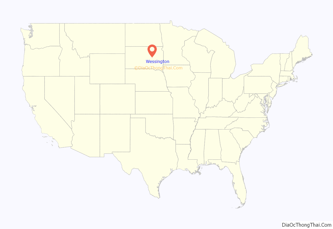
Wessington location map. Where is Wessington city?
History
A post office has been in operation in Wessington since 1882. The city took its name from the nearby Wessington Hills.
The early growth of Wessington began because it was a transshipment point for locally produced grains because of the railroad (C. & N.W. Ry. Co.). This allowed local producers lower shipping costs compared to villages further from railroads, encouraging the location of other businesses in the town. Wessington originally was located in Beadle County, and the cohesiveness the community soon led to growth into neighboring Hand County.
In 1918 there was a flourishing natural ice business that provisioned refrigerated freight cars. The cattle industry in the area has increased the market quality of the nation’s cattle through improvements in herd management and adaptations to changing consumer demands. Many producers have received national recognition throughout the years.
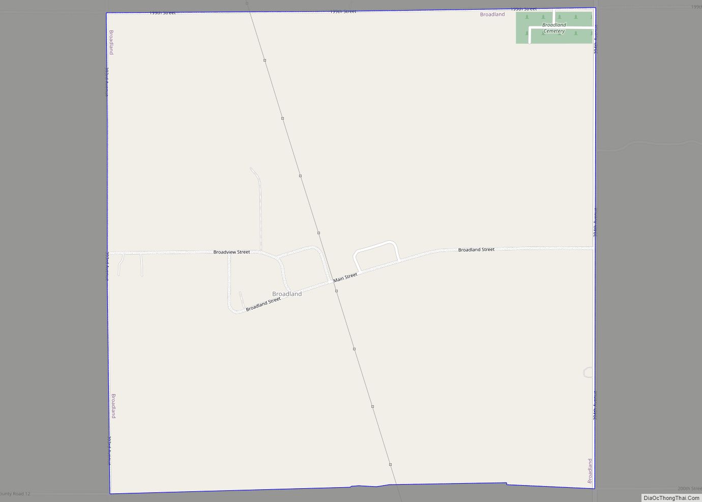
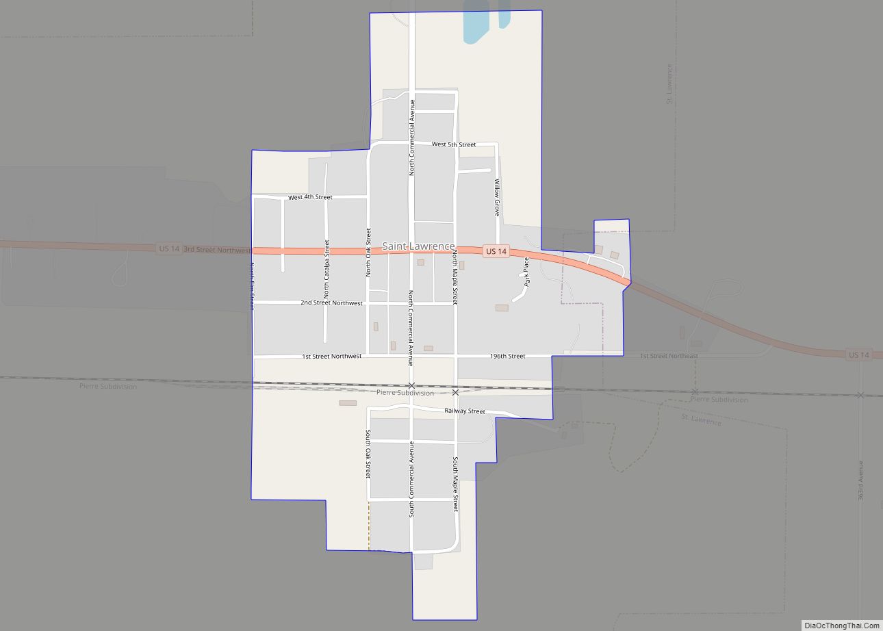
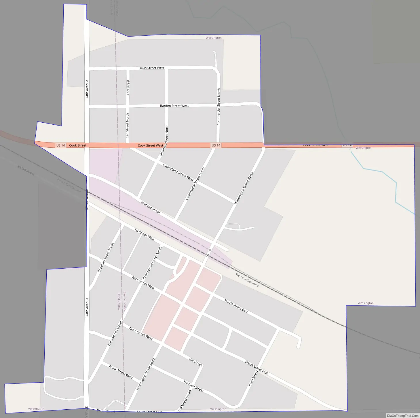
Wessington Road Map
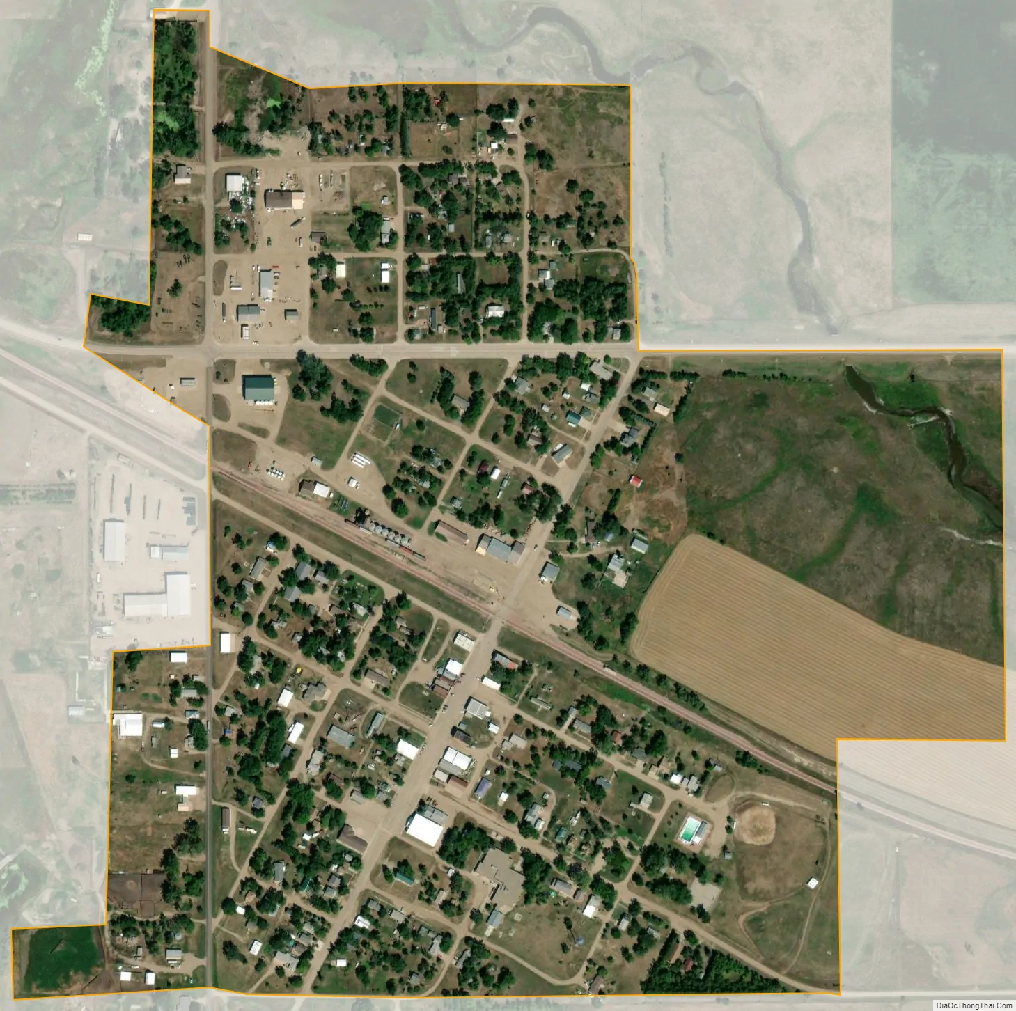
Wessington city Satellite Map
Geography
Wessington is located at 44°27′20″N 98°41′57″W / 44.45556°N 98.69917°W / 44.45556; -98.69917 (44.455536, -98.699256).
According to the United States Census Bureau, the city has a total area of 0.38 square miles (0.98 km), all land.
Wessington has been assigned the ZIP code 57381 and the FIPS place code 70140.
See also
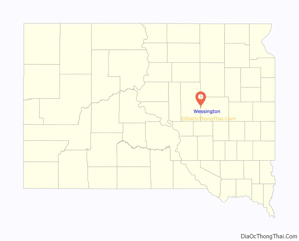
Map of South Dakota State and its subdivision:- Aurora
- Beadle
- Bennett
- Bon Homme
- Brookings
- Brown
- Brule
- Buffalo
- Butte
- Campbell
- Charles Mix
- Clark
- Clay
- Codington
- Corson
- Custer
- Davison
- Day
- Deuel
- Dewey
- Douglas
- Edmunds
- Fall River
- Faulk
- Grant
- Gregory
- Haakon
- Hamlin
- Hand
- Hanson
- Harding
- Hughes
- Hutchinson
- Hyde
- Jackson
- Jerauld
- Jones
- Kingsbury
- Lake
- Lawrence
- Lincoln
- Lyman
- Marshall
- McCook
- McPherson
- Meade
- Mellette
- Miner
- Minnehaha
- Moody
- Pennington
- Perkins
- Potter
- Roberts
- Sanborn
- Shannon
- Spink
- Stanley
- Sully
- Todd
- Tripp
- Turner
- Union
- Walworth
- Yankton
- Ziebach
- Alabama
- Alaska
- Arizona
- Arkansas
- California
- Colorado
- Connecticut
- Delaware
- District of Columbia
- Florida
- Georgia
- Hawaii
- Idaho
- Illinois
- Indiana
- Iowa
- Kansas
- Kentucky
- Louisiana
- Maine
- Maryland
- Massachusetts
- Michigan
- Minnesota
- Mississippi
- Missouri
- Montana
- Nebraska
- Nevada
- New Hampshire
- New Jersey
- New Mexico
- New York
- North Carolina
- North Dakota
- Ohio
- Oklahoma
- Oregon
- Pennsylvania
- Rhode Island
- South Carolina
- South Dakota
- Tennessee
- Texas
- Utah
- Vermont
- Virginia
- Washington
- West Virginia
- Wisconsin
- Wyoming