Ellsworth is a village in and the county seat of Pierce County, Wisconsin, United States. The population was 3,348 at the 2020 census. The village is adjacent to the Town of Ellsworth and now incorporates the formerly separate district known as East Ellsworth. The municipality of Ellsworth and its surroundings are slowly becoming incorporated into the Twin Cities Metro Area.
| Name: | Ellsworth village |
|---|---|
| LSAD Code: | 47 |
| LSAD Description: | village (suffix) |
| State: | Wisconsin |
| County: | Pierce County |
| Elevation: | 1,226 ft (315 m) |
| Total Area: | 3.80 sq mi (9.84 km²) |
| Land Area: | 3.80 sq mi (9.83 km²) |
| Water Area: | 0.00 sq mi (0.00 km²) |
| Total Population: | 3,348 |
| Population Density: | 881.7/sq mi (340.4/km²) |
| Area code: | 715 & 534 |
| FIPS code: | 5523525 |
| GNISfeature ID: | 1564550 |
| Website: | www.villageofellsworth.org |
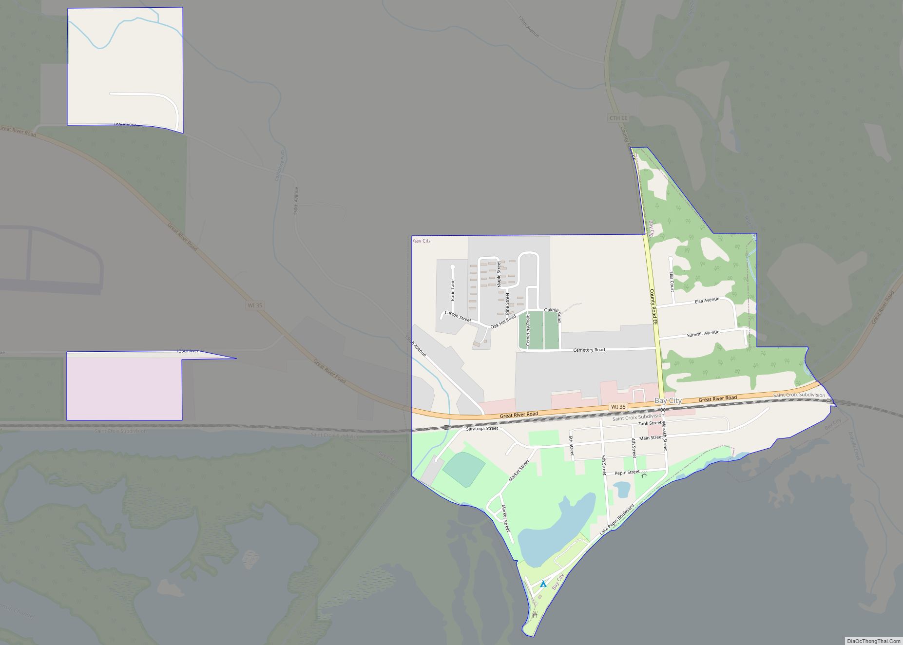
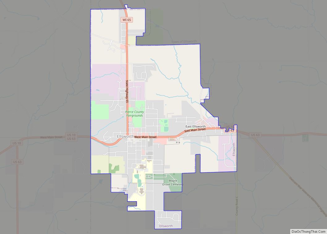
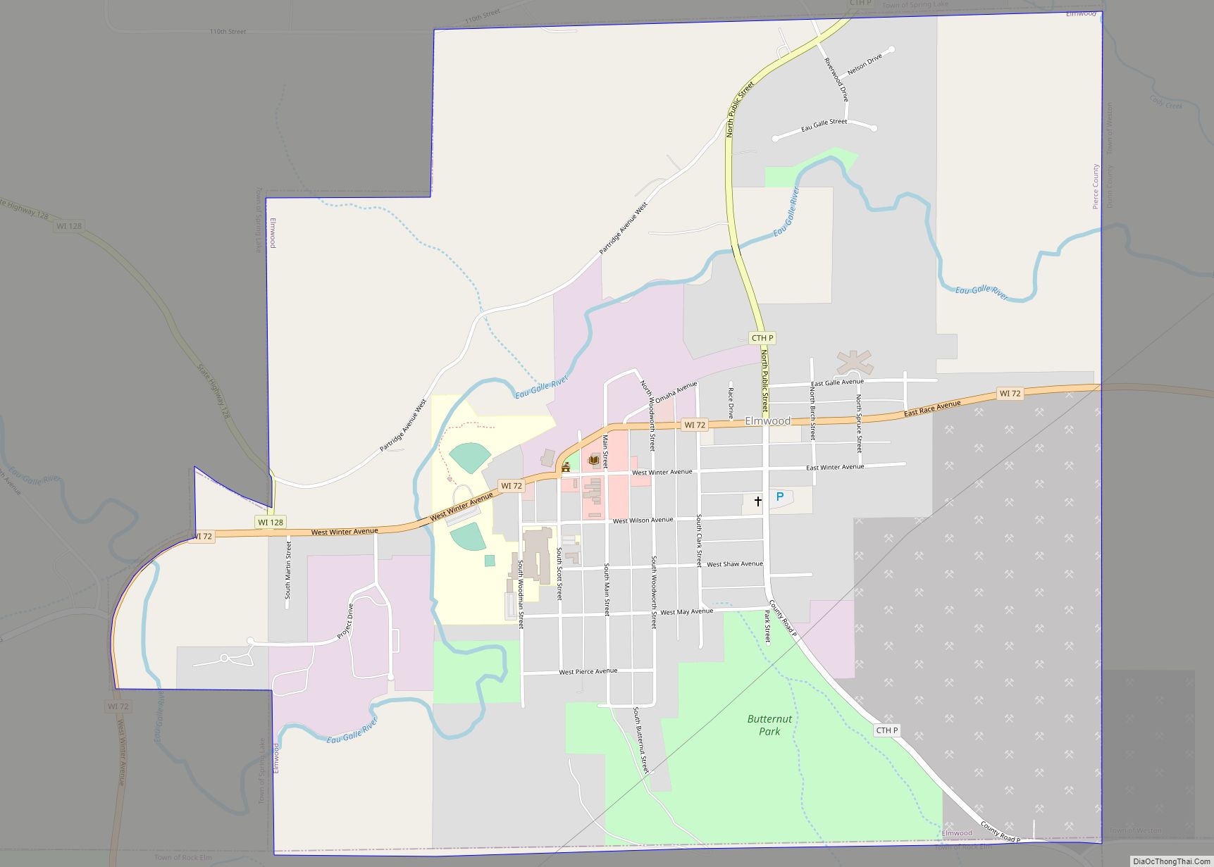
Online Interactive Map
Click on ![]() to view map in "full screen" mode.
to view map in "full screen" mode.
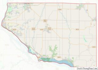
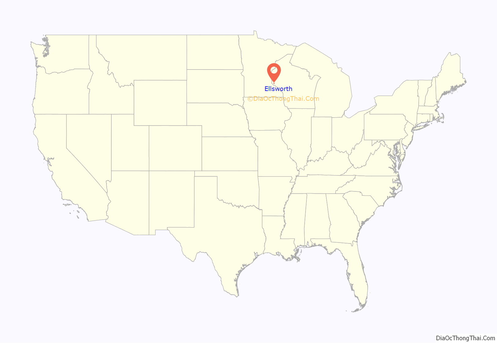
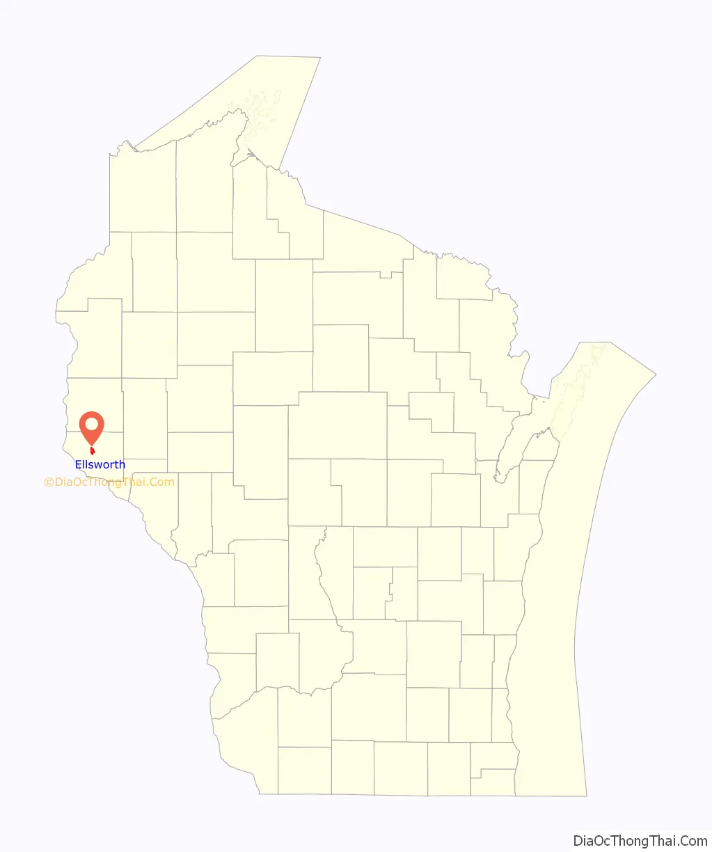
Ellsworth location map. Where is Ellsworth village?
History
Settlement in the area that now comprises the village of Ellsworth began with the arrival of several families in 1857. The village was officially platted in 1862, then incorporated in 1887. The village was initially called Perry, in honor of the War of 1812 hero, Oliver Hazard Perry, but was renamed in 1866 in honor of Col. Elmer E. Ellsworth, the first Union officer to die in the Civil War. A close friend of Pres. Abraham Lincoln, Ellsworth died while removing a highly visible Confederate flag from the roof of a hotel overlooking the Potomac River in Alexandria, Virginia. The incident received national attention, and at least one other town, Ellsworth, Michigan, was named in his honor.
Downtown Ellsworth’s location atop a steep hill is the result of an 1861 dispute between Pierce County’s two major towns, Prescott and River Falls, over which should be county seat. The compromise reached was to draw lines on a map connecting the corners of the county, northwest to southeast and northeast to southwest. The intersection of these lines at a densely forested site at the top of a ridge determined the placement of the new town. A log building was hastily erected to serve as a courthouse, then replaced by a wood-frame structure about two years later. The current Pierce County Courthouse, built 1905, was designed by the noted St. Paul firm of Buechner & Orth. The structure exhibits characteristics of both the neoclassical and Beaux-Arts styles, topped by a large dome above a five-story hexagonal rotunda.
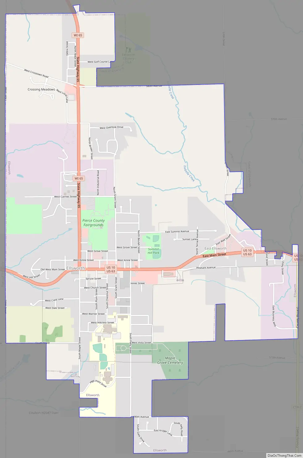
Ellsworth Road Map
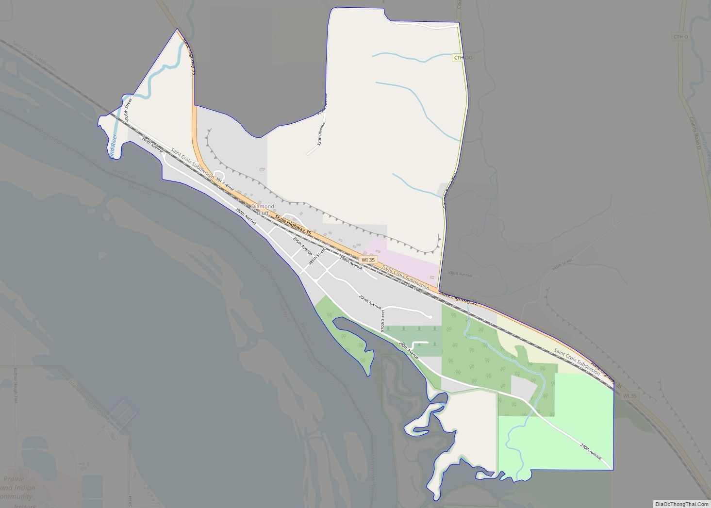
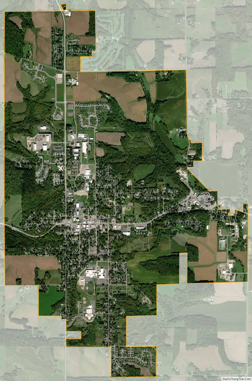
Ellsworth city Satellite Map
Geography
Ellsworth is located at 44°43′57″N 92°28′48″W / 44.73250°N 92.48000°W / 44.73250; -92.48000 (44.73261, -92.480177).
According to the United States Census Bureau, the village has a total area of 3.75 square miles (9.71 km), all of it land.
See also
Map of Wisconsin State and its subdivision:- Adams
- Ashland
- Barron
- Bayfield
- Brown
- Buffalo
- Burnett
- Calumet
- Chippewa
- Clark
- Columbia
- Crawford
- Dane
- Dodge
- Door
- Douglas
- Dunn
- Eau Claire
- Florence
- Fond du Lac
- Forest
- Grant
- Green
- Green Lake
- Iowa
- Iron
- Jackson
- Jefferson
- Juneau
- Kenosha
- Kewaunee
- La Crosse
- Lafayette
- Lake Michigan
- Lake Superior
- Langlade
- Lincoln
- Manitowoc
- Marathon
- Marinette
- Marquette
- Menominee
- Milwaukee
- Monroe
- Oconto
- Oneida
- Outagamie
- Ozaukee
- Pepin
- Pierce
- Polk
- Portage
- Price
- Racine
- Richland
- Rock
- Rusk
- Saint Croix
- Sauk
- Sawyer
- Shawano
- Sheboygan
- Taylor
- Trempealeau
- Vernon
- Vilas
- Walworth
- Washburn
- Washington
- Waukesha
- Waupaca
- Waushara
- Winnebago
- Wood
- Alabama
- Alaska
- Arizona
- Arkansas
- California
- Colorado
- Connecticut
- Delaware
- District of Columbia
- Florida
- Georgia
- Hawaii
- Idaho
- Illinois
- Indiana
- Iowa
- Kansas
- Kentucky
- Louisiana
- Maine
- Maryland
- Massachusetts
- Michigan
- Minnesota
- Mississippi
- Missouri
- Montana
- Nebraska
- Nevada
- New Hampshire
- New Jersey
- New Mexico
- New York
- North Carolina
- North Dakota
- Ohio
- Oklahoma
- Oregon
- Pennsylvania
- Rhode Island
- South Carolina
- South Dakota
- Tennessee
- Texas
- Utah
- Vermont
- Virginia
- Washington
- West Virginia
- Wisconsin
- Wyoming