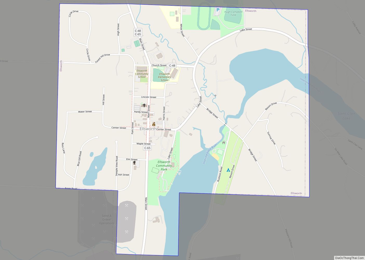
Ellsworth is a village in Antrim County in the U.S. state of Michigan. The population was 349 at the 2010 census. The village is located within Banks Township.
The village is primarily a bedroom community with its primary industry being gravel and other aggregates. Agriculture and forestry are also important industries. Ellsworth is home to a small annual festival called the Pig Roast, which involves a parade and horse pulls, and of course, roast pork. Down the street is a bistro called the Rowe Inn. Ellsworth is the seat of Banks Township, which also includes the community of Atwood and several cherry orchards. Ellsworth’s main governing body is the Ellsworth Village Council. The town is named after Elmer Ephraim Ellsworth, the first Union officer to die in the American Civil War.
| Name: | Ellsworth village |
|---|---|
| LSAD Code: | 47 |
| LSAD Description: | village (suffix) |
| State: | Michigan |
| County: | Antrim County |
| Incorporated: | 1938 |
| Elevation: | 659 ft (201 m) |
| Total Area: | 0.83 sq mi (2.14 km²) |
| Land Area: | 0.75 sq mi (1.94 km²) |
| Water Area: | 0.08 sq mi (0.21 km²) |
| Total Population: | 367 |
| Population Density: | 490.64/sq mi (189.55/km²) |
| Area code: | 231 |
| FIPS code: | 2625420 |
| GNISfeature ID: | 0625495 |
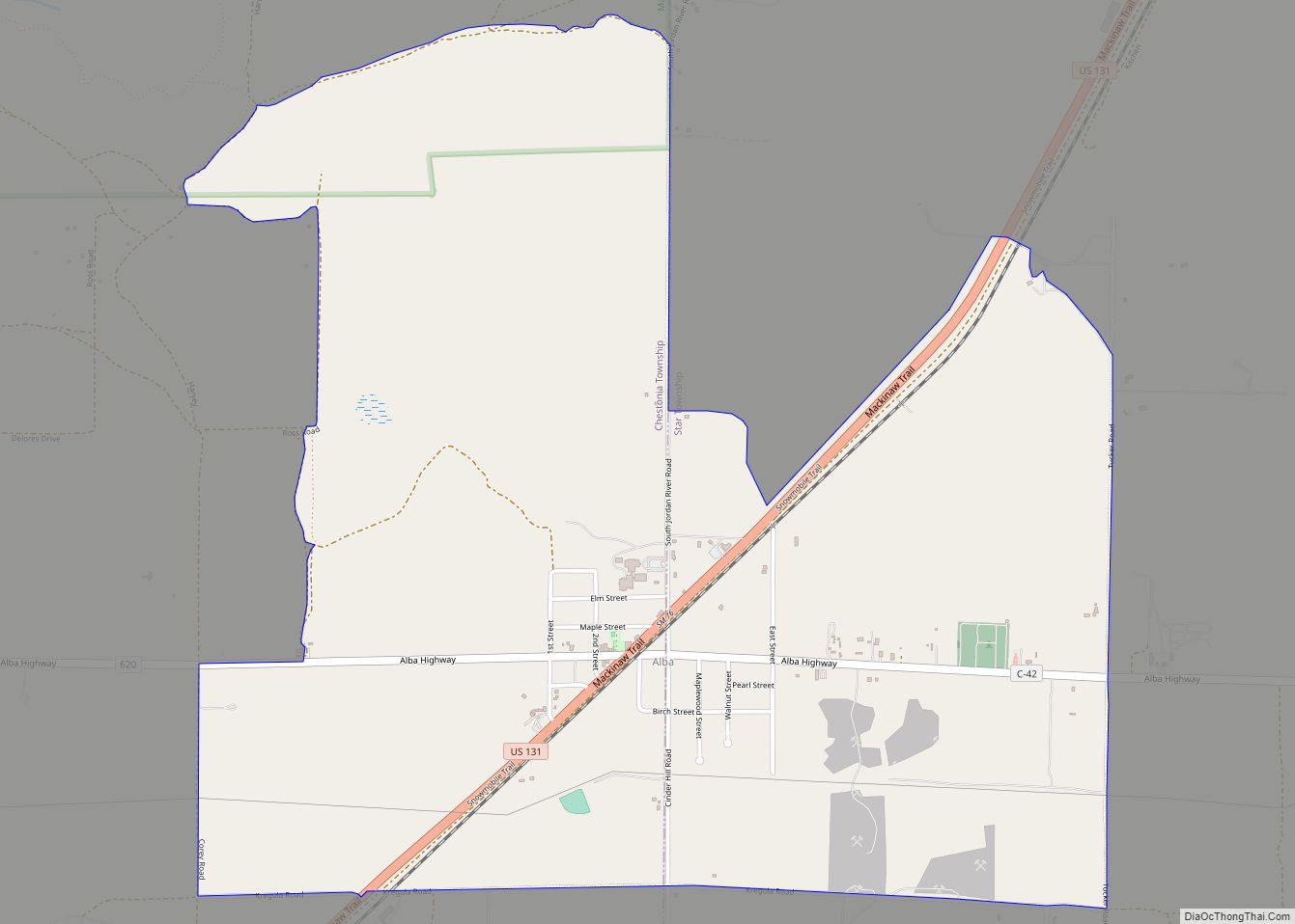
Online Interactive Map
Click on ![]() to view map in "full screen" mode.
to view map in "full screen" mode.
Ellsworth location map. Where is Ellsworth village?


History
The village of Ellsworth was founded in 1881. It quickly took in the previous villages of Needmore and Ox Bow. It was incorporated as a village in 1938.
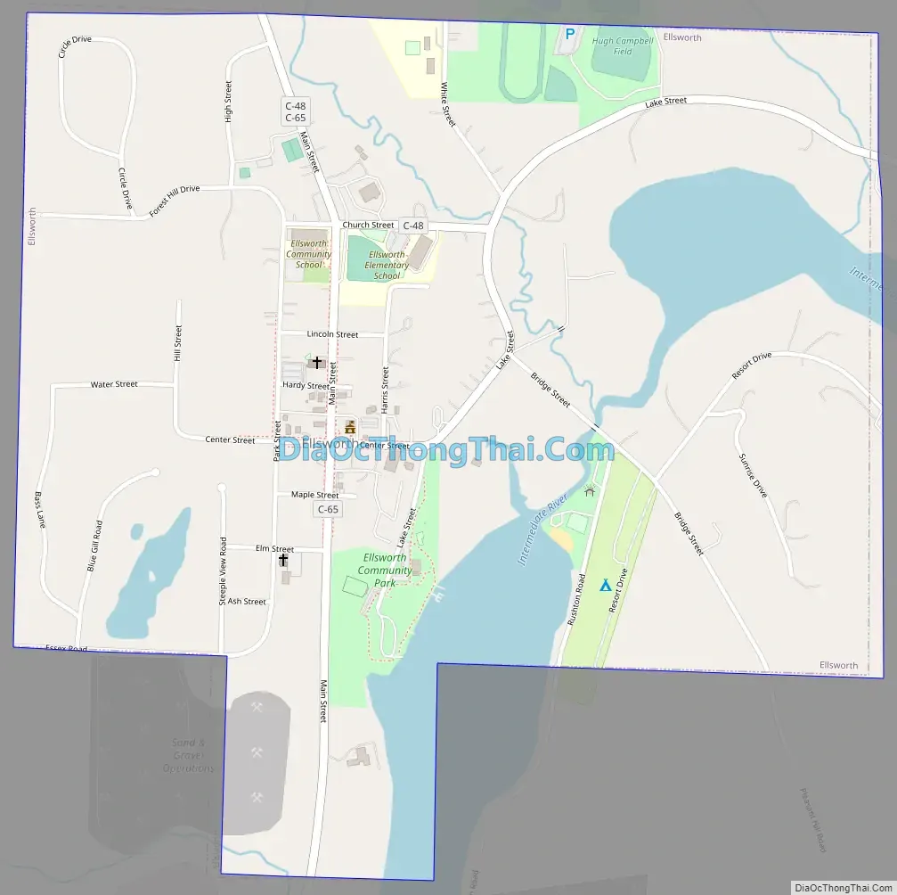
Ellsworth Road Map
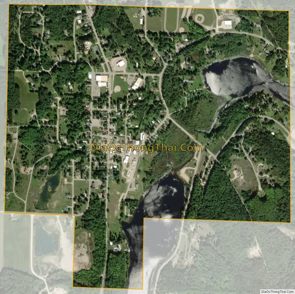
Ellsworth city Satellite Map
Geography
According to the United States Census Bureau, the village has a total area of 0.80 square miles (2.07 km), of which, 0.72 square miles (1.86 km) of it is land and 0.08 square miles (0.21 km) is water.
Ellsworth is about 40 miles (64 km) northeast of Traverse City.
See also
Map of Michigan State and its subdivision:- Alcona
- Alger
- Allegan
- Alpena
- Antrim
- Arenac
- Baraga
- Barry
- Bay
- Benzie
- Berrien
- Branch
- Calhoun
- Cass
- Charlevoix
- Cheboygan
- Chippewa
- Clare
- Clinton
- Crawford
- Delta
- Dickinson
- Eaton
- Emmet
- Genesee
- Gladwin
- Gogebic
- Grand Traverse
- Gratiot
- Hillsdale
- Houghton
- Huron
- Ingham
- Ionia
- Iosco
- Iron
- Isabella
- Jackson
- Kalamazoo
- Kalkaska
- Kent
- Keweenaw
- Lake
- Lake Hurron
- Lake Michigan
- Lake St. Clair
- Lake Superior
- Lapeer
- Leelanau
- Lenawee
- Livingston
- Luce
- Mackinac
- Macomb
- Manistee
- Marquette
- Mason
- Mecosta
- Menominee
- Midland
- Missaukee
- Monroe
- Montcalm
- Montmorency
- Muskegon
- Newaygo
- Oakland
- Oceana
- Ogemaw
- Ontonagon
- Osceola
- Oscoda
- Otsego
- Ottawa
- Presque Isle
- Roscommon
- Saginaw
- Saint Clair
- Saint Joseph
- Sanilac
- Schoolcraft
- Shiawassee
- Tuscola
- Van Buren
- Washtenaw
- Wayne
- Wexford
- Alabama
- Alaska
- Arizona
- Arkansas
- California
- Colorado
- Connecticut
- Delaware
- District of Columbia
- Florida
- Georgia
- Hawaii
- Idaho
- Illinois
- Indiana
- Iowa
- Kansas
- Kentucky
- Louisiana
- Maine
- Maryland
- Massachusetts
- Michigan
- Minnesota
- Mississippi
- Missouri
- Montana
- Nebraska
- Nevada
- New Hampshire
- New Jersey
- New Mexico
- New York
- North Carolina
- North Dakota
- Ohio
- Oklahoma
- Oregon
- Pennsylvania
- Rhode Island
- South Carolina
- South Dakota
- Tennessee
- Texas
- Utah
- Vermont
- Virginia
- Washington
- West Virginia
- Wisconsin
- Wyoming