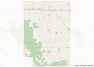
Humbird is an unincorporated census-designated place in the Town of Mentor in Clark County, Wisconsin, United States. It is located on U.S. Route 12 north-northwest of Merrillan. As of the 2010 census, its population was 266. Humbird has a post office with ZIP code 54746.
| Name: | Humbird CDP |
|---|---|
| LSAD Code: | 57 |
| LSAD Description: | CDP (suffix) |
| State: | Wisconsin |
| County: | Clark County |
| Elevation: | 1,024 ft (312 m) |
| Total Area: | 1.135 sq mi (2.94 km²) |
| Land Area: | 1.135 sq mi (2.94 km²) |
| Water Area: | 0 sq mi (0 km²) |
| Total Population: | 266 |
| Population Density: | 230/sq mi (90/km²) |
| ZIP code: | 54746 |
| Area code: | 715 & 534 |
| FIPS code: | 5536400 |
| GNISfeature ID: | 1566795 |
Online Interactive Map
Click on ![]() to view map in "full screen" mode.
to view map in "full screen" mode.
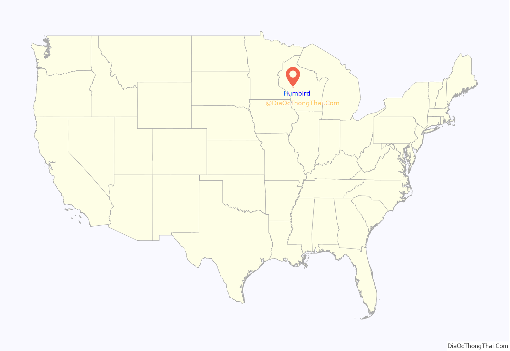
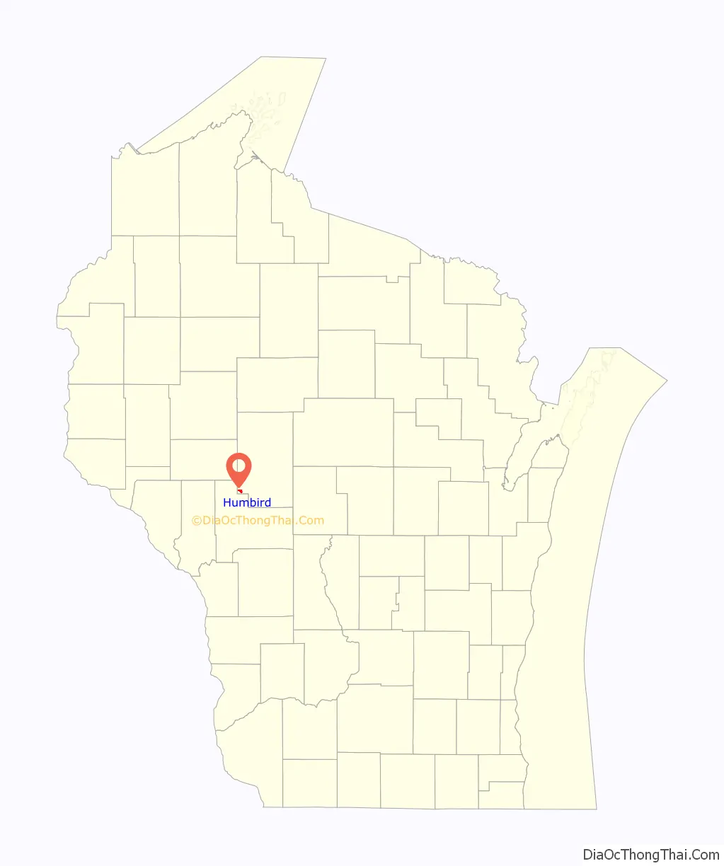
Humbird location map. Where is Humbird CDP?
History
Humbird was founded by Jacob Humbird, who was born at Ligonier, Pennsylvania on July 31, 1811. The second of five children of Solomon and Susan Humbert, Jacob was married to Eleanor McKee in 1835. They had four sons and four daughters. Jacob and his brother pursued careers in railroad building. He built Dom Pedro Secundo Railroad in Brazil from Rio de Janeiro to the interior of the country. In 1867 Humbird and D. A. Baldwin built the main line of the West Wisconsin Railroad from Elroy to Hudson. The tracks were laid to Humbird in late 1869. The depot opened for business on January 1, 1870.
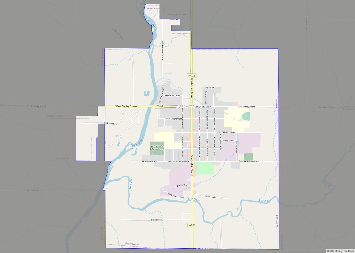
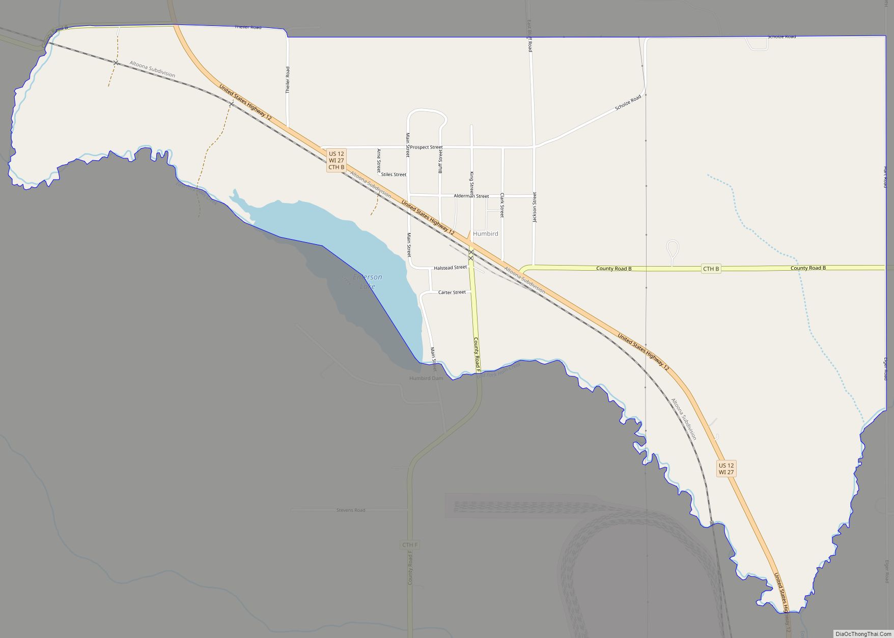
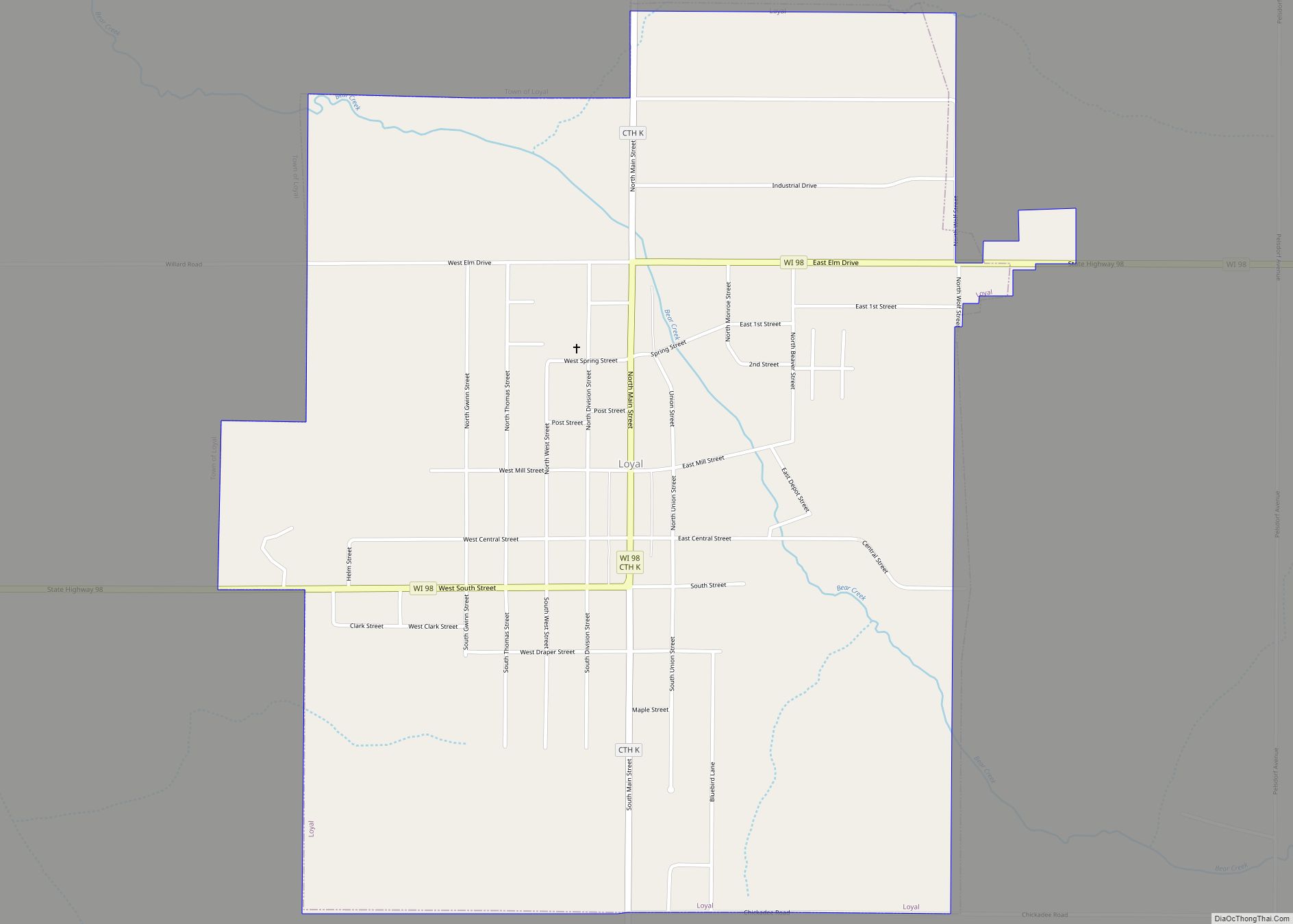
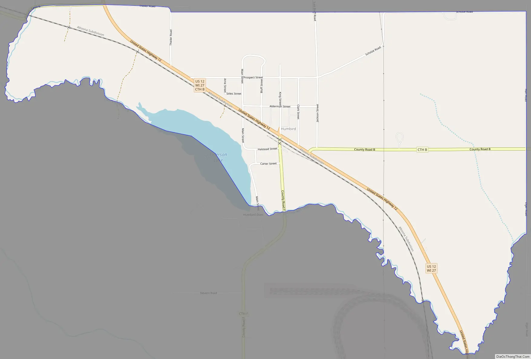
Humbird Road Map
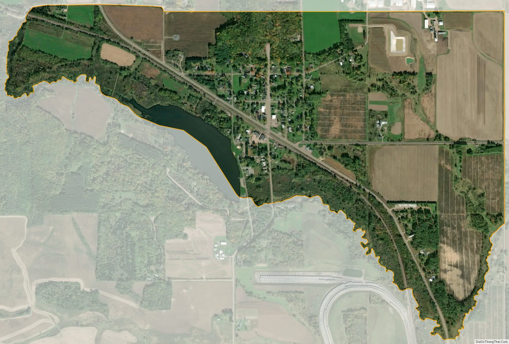
Humbird city Satellite Map
Geography
Humbird contains a pond, a bluff, farm land, recreational land, and several ATV trails. The pond is 13 acres (0.053 km) in area and 6 feet (1.8 m) at its deepest point. Although named Emerson Lake, it is commonly called Humbird Pond.
See also
Map of Wisconsin State and its subdivision:- Adams
- Ashland
- Barron
- Bayfield
- Brown
- Buffalo
- Burnett
- Calumet
- Chippewa
- Clark
- Columbia
- Crawford
- Dane
- Dodge
- Door
- Douglas
- Dunn
- Eau Claire
- Florence
- Fond du Lac
- Forest
- Grant
- Green
- Green Lake
- Iowa
- Iron
- Jackson
- Jefferson
- Juneau
- Kenosha
- Kewaunee
- La Crosse
- Lafayette
- Lake Michigan
- Lake Superior
- Langlade
- Lincoln
- Manitowoc
- Marathon
- Marinette
- Marquette
- Menominee
- Milwaukee
- Monroe
- Oconto
- Oneida
- Outagamie
- Ozaukee
- Pepin
- Pierce
- Polk
- Portage
- Price
- Racine
- Richland
- Rock
- Rusk
- Saint Croix
- Sauk
- Sawyer
- Shawano
- Sheboygan
- Taylor
- Trempealeau
- Vernon
- Vilas
- Walworth
- Washburn
- Washington
- Waukesha
- Waupaca
- Waushara
- Winnebago
- Wood
- Alabama
- Alaska
- Arizona
- Arkansas
- California
- Colorado
- Connecticut
- Delaware
- District of Columbia
- Florida
- Georgia
- Hawaii
- Idaho
- Illinois
- Indiana
- Iowa
- Kansas
- Kentucky
- Louisiana
- Maine
- Maryland
- Massachusetts
- Michigan
- Minnesota
- Mississippi
- Missouri
- Montana
- Nebraska
- Nevada
- New Hampshire
- New Jersey
- New Mexico
- New York
- North Carolina
- North Dakota
- Ohio
- Oklahoma
- Oregon
- Pennsylvania
- Rhode Island
- South Carolina
- South Dakota
- Tennessee
- Texas
- Utah
- Vermont
- Virginia
- Washington
- West Virginia
- Wisconsin
- Wyoming