Ligonier is a borough in Westmoreland County, Pennsylvania, United States. The population was 1,513 at the 2020 census. Ligonier was settled in the 1760s. The borough is well known for nearby Idlewild Park, one of the oldest amusement parks in the country; and nearby Seven Springs Mountain Resort. Another tourist attraction is Fort Ligonier Days, a parade and craft market that takes place every fall over the course of three days, and the Ligonier Country Market in the summer months. Ligonier is part of the Pittsburgh Metropolitan Statistical Area.
Ligonier is the site of a reconstruction of Fort Ligonier, an example of a frontier fort of the French and Indian War. Ligonier is also known for its downtown square, the Diamond, which has a bandstand in the middle.
| Name: | Ligonier borough |
|---|---|
| LSAD Code: | 21 |
| LSAD Description: | borough (suffix) |
| State: | Pennsylvania |
| County: | Westmoreland County |
| Elevation: | 1,197 ft (365 m) |
| Total Area: | 0.50 sq mi (1.31 km²) |
| Land Area: | 0.50 sq mi (1.31 km²) |
| Water Area: | 0.00 sq mi (0.00 km²) |
| Total Population: | 1,513 |
| Population Density: | 3,001.98/sq mi (1,159.02/km²) |
| ZIP code: | 15658 |
| FIPS code: | 4243232 |
| Website: | www.ligonier.com |
Online Interactive Map
Click on ![]() to view map in "full screen" mode.
to view map in "full screen" mode.
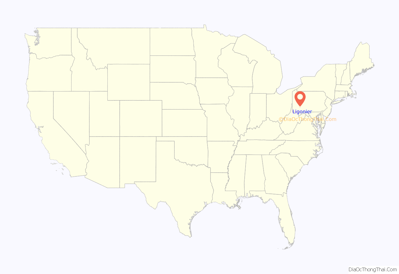
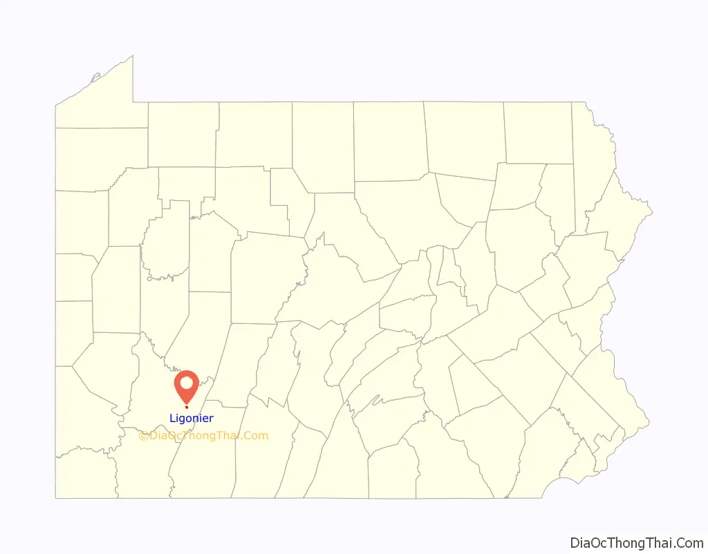
Ligonier location map. Where is Ligonier borough?
History
In 1758, when British forces launched a major campaign to remove French forces from the forks of the Ohio, now Pittsburgh, this spot on Loyalhanna Creek was the site of their westernmost camp before reaching the Ohio. The British maintained a large army, a virtual moving city of 6,000 people, that temporarily made Ligonier the second-most populated spot in Pennsylvania, second only to Philadelphia. Fort Ligonier was named after John Ligonier, a British noble of French origin who held the rank of Field Marshal in the British Army. Eventually, the name of the settlement that grew up around the fort was shortened to Ligonier.
In 1817, the Philadelphia-Pittsburgh Turnpike was completed, a gravel road that was the precursor to today’s US Route 30. Fort Ligonier was a logical place for travelers to break their journey, and with such commercial opportunities in mind, a local resident named John Ramsay (sometimes spelled Ramsey) laid out the street plan, including the space now known as the Diamond. He initially called the town Ramseytown, later changed to Wellington (after the Duke of Wellington), and finally the name was changed to Ligonier. Several decades of prosperity followed. On April 10, 1834, Ligonier was incorporated as a borough.
However, in 1852 the Pennsylvania Railroad was completed, which bypassed Ligonier and passed through the towns of Bolivar and Latrobe instead. Traffic shifted from horse-drawn vehicles to the railroad, causing the community’s population to drop to 350 according to the 1860 census.
Ligonier enjoyed a new attention when the Ligonier Valley Railroad was completed in 1877, linking the community to Latrobe where connections to the Pennsylvania Railroad were possible. The Ligonier Valley Railroad enabled lumber, coal, and quarried stone to be transported out of the Ligonier Valley, which spurred development of the town. Additionally, the railroad made it easier for Pittsburgh residents to visit Ligonier, causing the town to develop as a summer resort. Some major physical changes to Ligonier occurred during this period. In 1894, the Diamond, which had been used as a corral for horses and wagons, was transformed into a park with a bandstand. A large hotel, the Hotel Breniser, was built in 1900 where the town hall currently sits. In 1909–1910, the Ligonier Valley Railroad built an ornate station and headquarters building, which still stands at 339 West Main Street.
In 1952, the Ligonier Valley Railroad ceased operation, due to a combination of overlogging, decline of the coal industry, and the loss of passenger traffic to motor vehicles.
The Pittsburgh, Westmoreland and Somerset Railroad also served Ligonier from 1899 to 1916, although it did not enjoy the success of the Ligonier Valley Railroad.
Ligonier has three listings on the National Register of Historic Places: the Fort Ligonier site at 216 South Market Street; the Ligonier Historic District, which encompasses the Diamond and the oldest parts of the borough; and the demolished Ligonier Armory.
Ligonier and its surrounding countryside are strongly associated with the Mellon banking family, which still owns considerable tracts of land in the area. The Huntland Downs estate, near Ligonier, comprises some 30,000 acres (100 km) of land and is the centerpiece of the Mellon land holdings in the region.
Former train station, now school district offices
Fort Ligonier
Ligonier’s downtown with the Town Hall in the background.
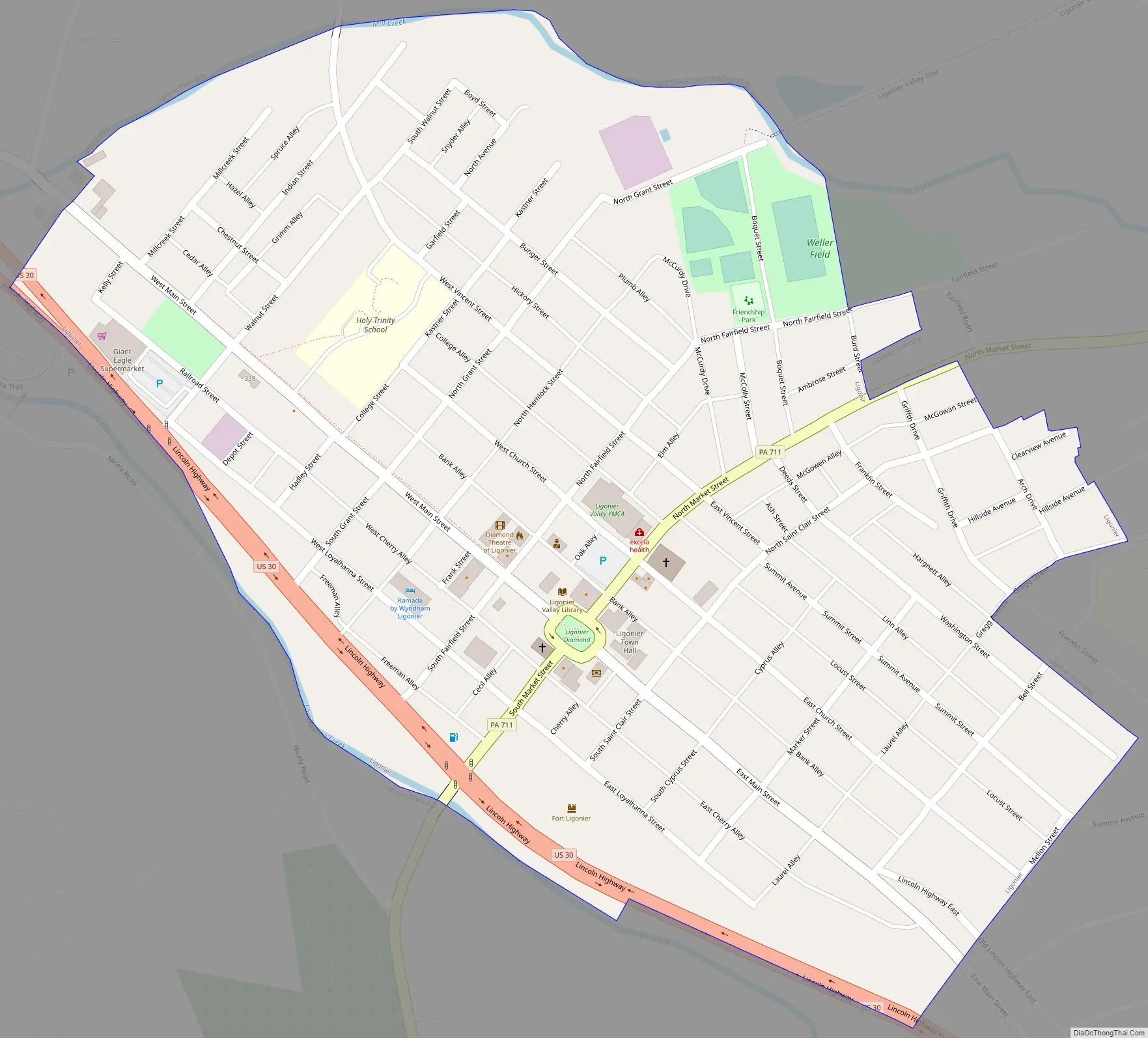
Ligonier Road Map
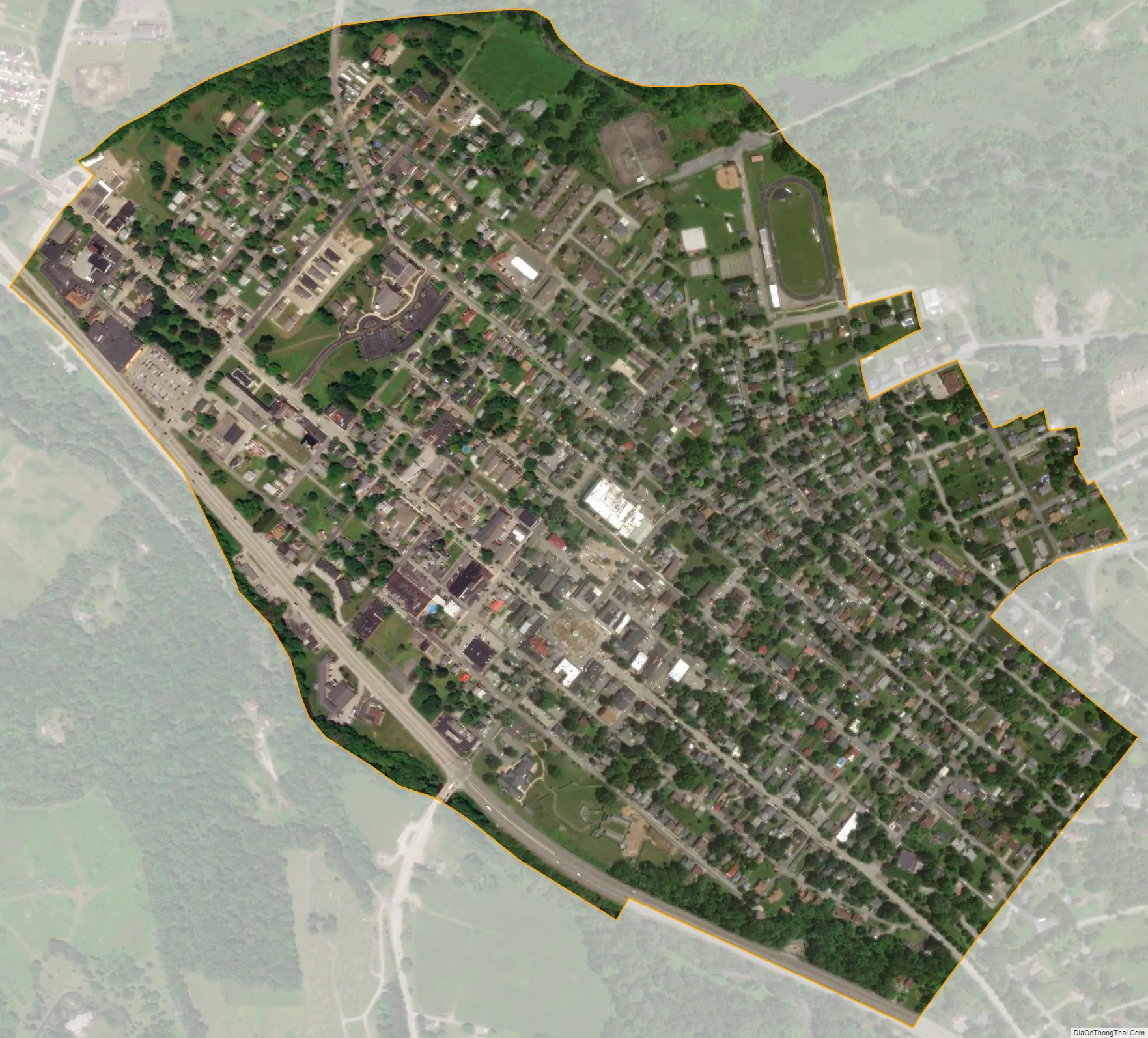
Ligonier city Satellite Map
Geography
The Borough of Ligonier is entirely surrounded by Ligonier Township, which is a separate municipality. According to the United States Census Bureau, the borough has a total area of 0.5 square miles (1.3 km), all land. Ligonier is located at 40°14′40″N 79°14′13″W / 40.24444°N 79.23694°W / 40.24444; -79.23694 (40.244518, -79.237067).
See also
Map of Pennsylvania State and its subdivision:- Adams
- Allegheny
- Armstrong
- Beaver
- Bedford
- Berks
- Blair
- Bradford
- Bucks
- Butler
- Cambria
- Cameron
- Carbon
- Centre
- Chester
- Clarion
- Clearfield
- Clinton
- Columbia
- Crawford
- Cumberland
- Dauphin
- Delaware
- Elk
- Erie
- Fayette
- Forest
- Franklin
- Fulton
- Greene
- Huntingdon
- Indiana
- Jefferson
- Juniata
- Lackawanna
- Lancaster
- Lawrence
- Lebanon
- Lehigh
- Luzerne
- Lycoming
- Mc Kean
- Mercer
- Mifflin
- Monroe
- Montgomery
- Montour
- Northampton
- Northumberland
- Perry
- Philadelphia
- Pike
- Potter
- Schuylkill
- Snyder
- Somerset
- Sullivan
- Susquehanna
- Tioga
- Union
- Venango
- Warren
- Washington
- Wayne
- Westmoreland
- Wyoming
- York
- Alabama
- Alaska
- Arizona
- Arkansas
- California
- Colorado
- Connecticut
- Delaware
- District of Columbia
- Florida
- Georgia
- Hawaii
- Idaho
- Illinois
- Indiana
- Iowa
- Kansas
- Kentucky
- Louisiana
- Maine
- Maryland
- Massachusetts
- Michigan
- Minnesota
- Mississippi
- Missouri
- Montana
- Nebraska
- Nevada
- New Hampshire
- New Jersey
- New Mexico
- New York
- North Carolina
- North Dakota
- Ohio
- Oklahoma
- Oregon
- Pennsylvania
- Rhode Island
- South Carolina
- South Dakota
- Tennessee
- Texas
- Utah
- Vermont
- Virginia
- Washington
- West Virginia
- Wisconsin
- Wyoming


