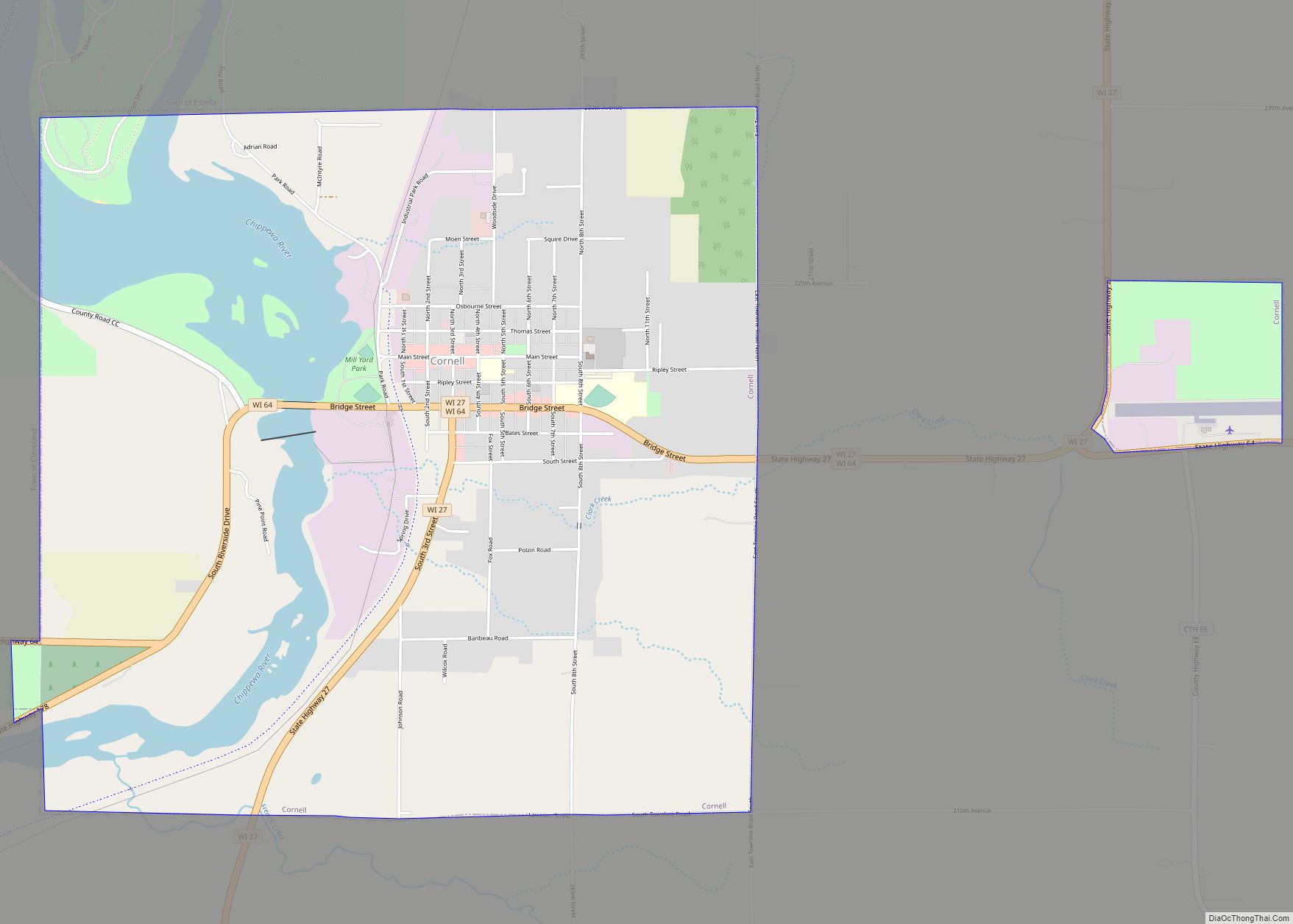
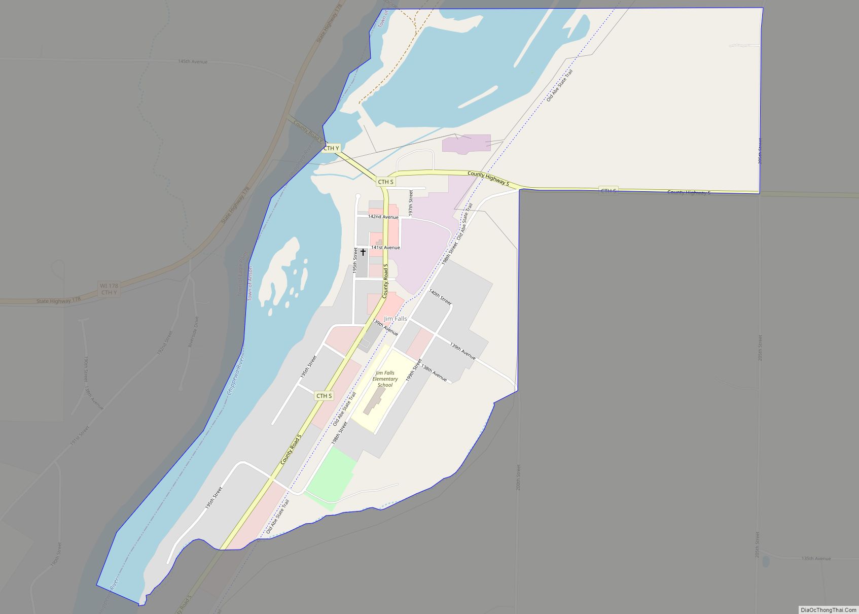
Jim Falls is a census-designated place located in Chippewa County, Wisconsin, United States.
| Name: | Jim Falls CDP |
|---|---|
| LSAD Code: | 57 |
| LSAD Description: | CDP (suffix) |
| State: | Wisconsin |
| County: | Chippewa County |
| Elevation: | 955 ft (291 m) |
| Total Area: | 0.735 sq mi (1.90 km²) |
| Land Area: | 0.606 sq mi (1.57 km²) |
| Water Area: | 0.129 sq mi (0.33 km²) |
| Total Population: | 237 |
| Population Density: | 320/sq mi (120/km²) |
| ZIP code: | 54748 |
| Area code: | 715 & 534 |
| FIPS code: | 5538225 |
| GNISfeature ID: | 1567178 |
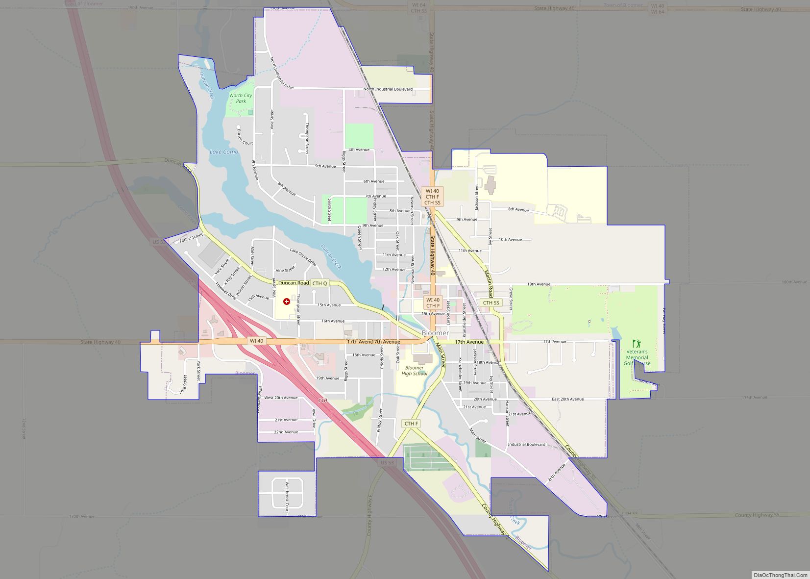
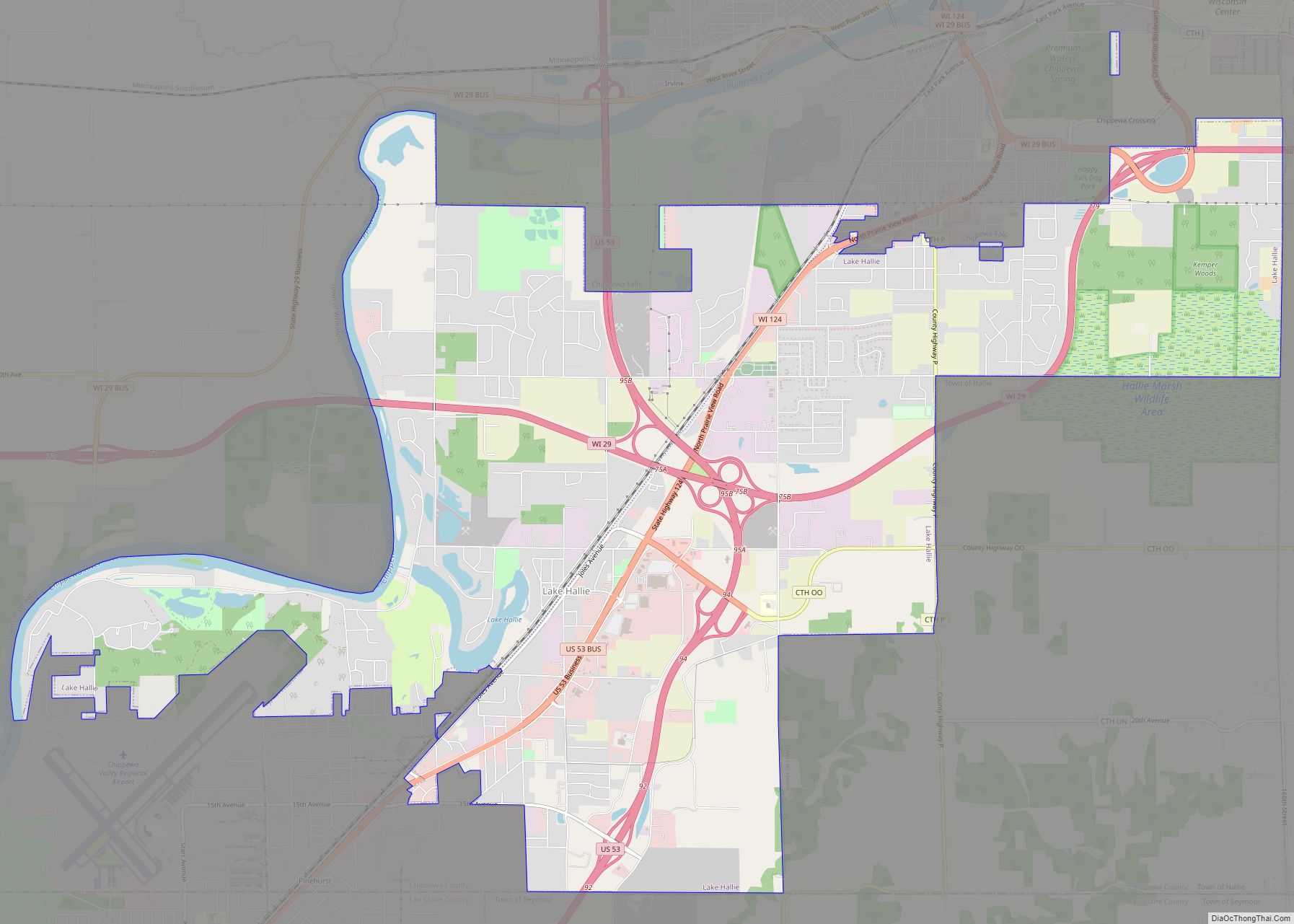
Online Interactive Map
Click on ![]() to view map in "full screen" mode.
to view map in "full screen" mode.
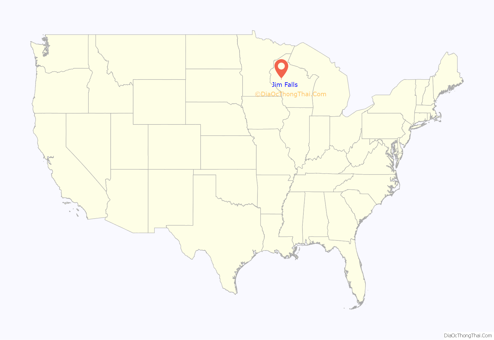
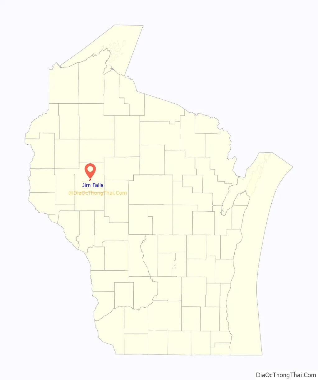
Jim Falls location map. Where is Jim Falls CDP?
History
Jim Falls is named in honor of James Ermatinger. In 1840, he established a trading post near the falls, which were then called “Vermillion Falls”. Later, he became very involved with public affairs of the village and county. In 1854, he was appointed by the county Board of Supervisors, along with Henry O’Neil, and Daniel McCann, to lay out a road from Chippewa Falls to Vermillion Falls. In 1855, he acted as Justice of the Peace for Chippewa County.
In spring of 1861, the Indian Ahgamahwegezhig captured an eaglet near the South Fork of the Flambeau River, within the present day Chequamegon National Forest, east of Park Falls, Wisconsin. A few weeks later, he canoed down the Chippewa River on a trading expedition. At Jim Falls, he encountered Daniel McCann, to whom he sold the eagle for a bushel of corn. In turn, McCann sold the bird to soldiers of the 8th Wisconsin Volunteer Infantry Regiment. The eagle became their mascot Old Abe, who accompanied them during many battles of the Civil War.
Because of this connection, the reservoir behind the dam is named “Old Abe Lake.” Moreover, in a park on the Old Abe State Trail, which runs through the town, a 10½ foot statue of Old Abe has been erected near the dam.
Jim Falls Road Map
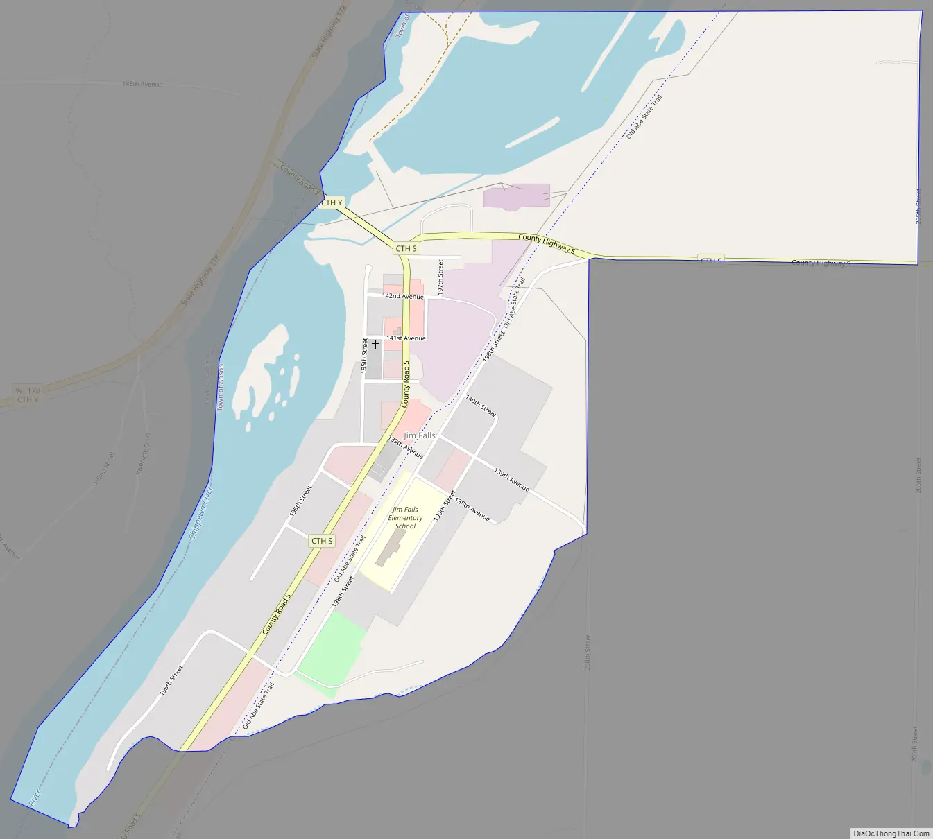
Jim Falls city Satellite Map
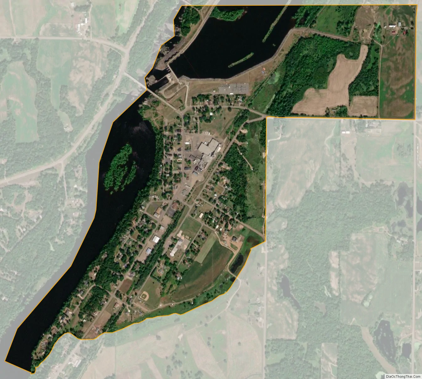
Geography
A stretch of rapids and falls on the Chippewa River provided the focal point around which the town developed. They have been incorporated into a hydroelectric facility operated by Northern States Power Company. However, many geological features of the river bed are visible below the dam.
See also
Map of Wisconsin State and its subdivision:- Adams
- Ashland
- Barron
- Bayfield
- Brown
- Buffalo
- Burnett
- Calumet
- Chippewa
- Clark
- Columbia
- Crawford
- Dane
- Dodge
- Door
- Douglas
- Dunn
- Eau Claire
- Florence
- Fond du Lac
- Forest
- Grant
- Green
- Green Lake
- Iowa
- Iron
- Jackson
- Jefferson
- Juneau
- Kenosha
- Kewaunee
- La Crosse
- Lafayette
- Lake Michigan
- Lake Superior
- Langlade
- Lincoln
- Manitowoc
- Marathon
- Marinette
- Marquette
- Menominee
- Milwaukee
- Monroe
- Oconto
- Oneida
- Outagamie
- Ozaukee
- Pepin
- Pierce
- Polk
- Portage
- Price
- Racine
- Richland
- Rock
- Rusk
- Saint Croix
- Sauk
- Sawyer
- Shawano
- Sheboygan
- Taylor
- Trempealeau
- Vernon
- Vilas
- Walworth
- Washburn
- Washington
- Waukesha
- Waupaca
- Waushara
- Winnebago
- Wood
- Alabama
- Alaska
- Arizona
- Arkansas
- California
- Colorado
- Connecticut
- Delaware
- District of Columbia
- Florida
- Georgia
- Hawaii
- Idaho
- Illinois
- Indiana
- Iowa
- Kansas
- Kentucky
- Louisiana
- Maine
- Maryland
- Massachusetts
- Michigan
- Minnesota
- Mississippi
- Missouri
- Montana
- Nebraska
- Nevada
- New Hampshire
- New Jersey
- New Mexico
- New York
- North Carolina
- North Dakota
- Ohio
- Oklahoma
- Oregon
- Pennsylvania
- Rhode Island
- South Carolina
- South Dakota
- Tennessee
- Texas
- Utah
- Vermont
- Virginia
- Washington
- West Virginia
- Wisconsin
- Wyoming