Mukwonago /mʌˈkwɒnəɡoʊ/ is a village in the U.S. state of Wisconsin. The population was 8,262 at the 2020 census. The village is located mostly within the Town of Mukwonago in Waukesha County, with a small portion extending into the Town of East Troy in Walworth County. Of its population, 8,040 are in Waukesha County and 222 are in Walworth County.
| Name: | Mukwonago village |
|---|---|
| LSAD Code: | 47 |
| LSAD Description: | village (suffix) |
| State: | Wisconsin |
| County: | Walworth County, Waukesha County |
| Elevation: | 978 ft (298 m) |
| Total Area: | 8.22 sq mi (21.30 km²) |
| Land Area: | 8.03 sq mi (20.79 km²) |
| Water Area: | 0.20 sq mi (0.51 km²) |
| Total Population: | 8,262 |
| Population Density: | 1,003.74/sq mi (387.54/km²) |
| ZIP code: | 53149 |
| Area code: | 262 |
| FIPS code: | 5555050 |
| GNISfeature ID: | 1570017 |
| Website: | villageofmukwonago.com |
Online Interactive Map
Click on ![]() to view map in "full screen" mode.
to view map in "full screen" mode.
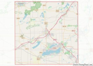
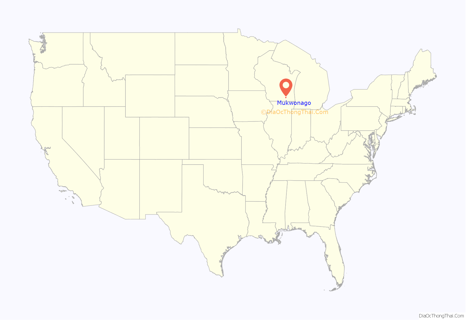
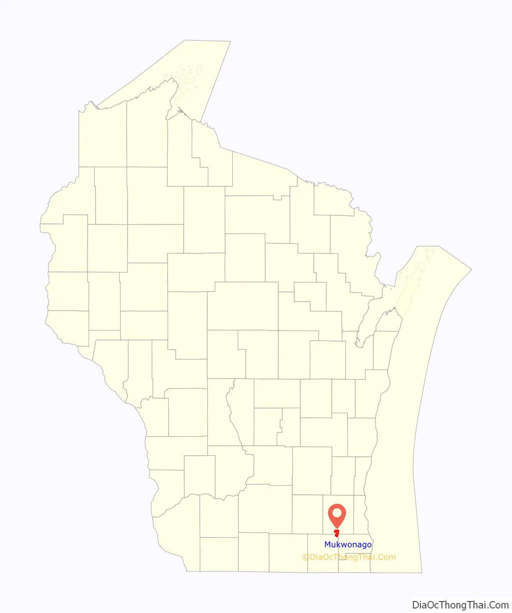
Mukwonago location map. Where is Mukwonago village?
History
The area was originally a Native American village and the tribal seat of the Bear Clan of the Potawatomi Indians. The name “Mukwonago” is derived from mequanego which translates to bear’s den. The spelling “Mukwonago” was adopted in 1844 because of the similarity to nearby Mequon. Many of the streets and roads are named after the city’s founders, such as Ira Blood, Major Jessie Meacham, Sewall Andrews, and Thomas Sugden.
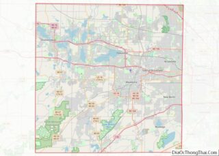
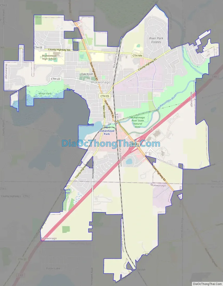
Mukwonago Road Map
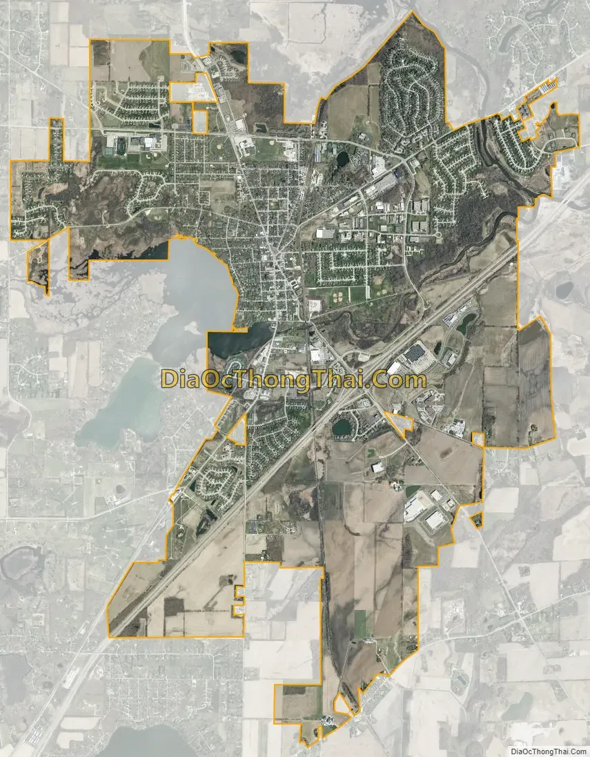
Mukwonago city Satellite Map
Geography
Mukwonago is located at 42°51′52″N 88°19′50″W / 42.864557°N 88.330619°W / 42.864557; -88.330619 (42.864557, −88.330619).
According to the United States Census Bureau, the village has a total area of 8.11 square miles (21.00 km), of which, 7.90 square miles (20.46 km) of it is land and 0.21 square miles (0.54 km) is water.
It is situated at the southwestern flank of the sprawling Vernon Marsh, and encircles Upper and Lower Phantom Lake(s). The lakes lie midway along the Mukwonago River from its source springs to its meeting with the Fox River, which travels further southeast through Big Bend and beyond. Upper (110 Acres) and Lower Phantom (373 Acres) Lakes are part of the Village of Mukwonago, managed by Phantom Lakes Management District (PhantomLakes.us).
Climate
Mukwonago has a hot summer and a cold winter (Köppen classification) humid continental climate.
See also
Map of Wisconsin State and its subdivision:- Adams
- Ashland
- Barron
- Bayfield
- Brown
- Buffalo
- Burnett
- Calumet
- Chippewa
- Clark
- Columbia
- Crawford
- Dane
- Dodge
- Door
- Douglas
- Dunn
- Eau Claire
- Florence
- Fond du Lac
- Forest
- Grant
- Green
- Green Lake
- Iowa
- Iron
- Jackson
- Jefferson
- Juneau
- Kenosha
- Kewaunee
- La Crosse
- Lafayette
- Lake Michigan
- Lake Superior
- Langlade
- Lincoln
- Manitowoc
- Marathon
- Marinette
- Marquette
- Menominee
- Milwaukee
- Monroe
- Oconto
- Oneida
- Outagamie
- Ozaukee
- Pepin
- Pierce
- Polk
- Portage
- Price
- Racine
- Richland
- Rock
- Rusk
- Saint Croix
- Sauk
- Sawyer
- Shawano
- Sheboygan
- Taylor
- Trempealeau
- Vernon
- Vilas
- Walworth
- Washburn
- Washington
- Waukesha
- Waupaca
- Waushara
- Winnebago
- Wood
- Alabama
- Alaska
- Arizona
- Arkansas
- California
- Colorado
- Connecticut
- Delaware
- District of Columbia
- Florida
- Georgia
- Hawaii
- Idaho
- Illinois
- Indiana
- Iowa
- Kansas
- Kentucky
- Louisiana
- Maine
- Maryland
- Massachusetts
- Michigan
- Minnesota
- Mississippi
- Missouri
- Montana
- Nebraska
- Nevada
- New Hampshire
- New Jersey
- New Mexico
- New York
- North Carolina
- North Dakota
- Ohio
- Oklahoma
- Oregon
- Pennsylvania
- Rhode Island
- South Carolina
- South Dakota
- Tennessee
- Texas
- Utah
- Vermont
- Virginia
- Washington
- West Virginia
- Wisconsin
- Wyoming