Stanley is a city in Chippewa and Clark counties in the U.S. state of Wisconsin. The population was 3,608 at the 2010 census. Of this, 3,602 were in Chippewa County, and 6 in Clark County.
| Name: | Stanley city |
|---|---|
| LSAD Code: | 25 |
| LSAD Description: | city (suffix) |
| State: | Wisconsin |
| County: | Chippewa County, Clark County |
| Elevation: | 1,083 ft (330 m) |
| Total Area: | 4.33 sq mi (11.22 km²) |
| Land Area: | 4.26 sq mi (11.05 km²) |
| Water Area: | 0.07 sq mi (0.18 km²) |
| Total Population: | 3,608 |
| Population Density: | 870.11/sq mi (335.93/km²) |
| Area code: | 715 & 534 |
| FIPS code: | 5576625 |
| GNISfeature ID: | 1574790 |
| Website: | stanleywisconsin.us |
Online Interactive Map
Click on ![]() to view map in "full screen" mode.
to view map in "full screen" mode.
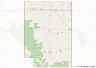
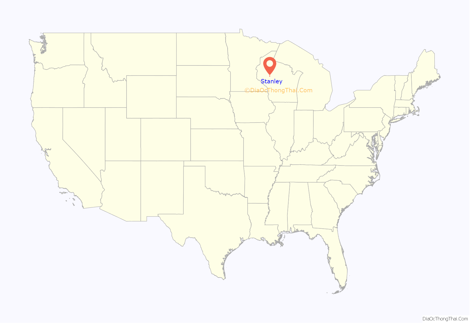
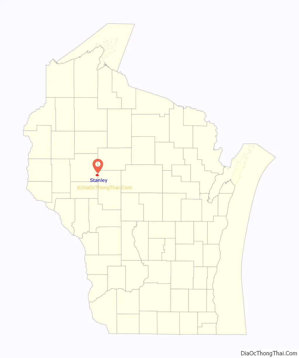
Stanley location map. Where is Stanley city?
History
Stanley was settled and platted in 1881 in the Town of Delmar when the Wisconsin Central Railroad built its line through Chippewa County. The settlement was named for Lemuel C. Stanley, a merchant and railroad man from Chippewa Falls who was involved in that first plat. The main early businesses were a small steam sawmill and some charcoal kilns built by the York Iron Company in 1887.
In 1891 the Northwestern Lumber Company from Eau Claire started a big lumber mill at Stanley. Starting in the 1860s, Northwestern had sawed its lumber at its company town Porter’s Mills, on the Chippewa River four miles below Eau Claire. But by the early 1890s Northwestern had exhausted its holdings of timber easy to drive down the river. Timber stands still remained on land away from the rivers, so Northwestern switched its model from river-logging to railroad-logging, and shut down Porter’s Mills. The company built a new mill at Stanley and spawned the Stanley, Merrill and Phillips Railway to haul logs out of the country to the north and south. (The railway never reached Merrill or Phillips; its furthest reach was Walrath, to the north of Jump River.) The mill in Stanley sawed wood until 1920, when Northwestern’s timber holdings in the area were largely exhausted. Over that period, the mill is estimated to have sawed 850 million board feet of lumber.
Through the 1890s the population of Stanley increased from 500 to 2500. Stanley became a village in 1895 and separated politically from the Town of Delmar as the City of Stanley in 1898. In 1897, attracted by rail connections and the supply of hemlock bark, the U.S. Leather Company opened a tannery in Stanley which employed 200 men and by 1908 tanned 75,000 hides shipped in from Chicago to South America. Stanley’s other big early industry was the Big Four Canning Factory on the north side of town, where immigrant farmers brought wagonloads of peas, cabbage, corn and beets grown on the logging cutover. In 1914 Big Four produced up to 100,000 cans of vegetables per day, shipping them all over the country.
On May 18, 1906, a fire started in one of the Northwest Lumber Company buildings east of the current Chapman Lake in what is now Fandry Park. The fire quickly spread to other businesses and into the residential area to the east. It ended up destroying a number of business buildings, two churches, and about seventy homes. But neighbors helped neighbors, businesses rebuilt (some with fireproof brick), and the city moved on. The Northwestern Lumber Company had started a brickyard around 1900, digging its clay north of Chapman Park’s location. After the fire in 1906, production increased greatly to rebuild Stanley and buildings as far off as Eau Claire and Auburndale.
On May 20, 2002, the City of Stanley annexed a portion of land in the Town of Thorp in Clark County.
On December 15, 2021, an EF2 tornado went through the city starting southwest and went northeast. It have damaged several buildings including the historic train depot which is now being removed. There was no Injuries/Deaths.
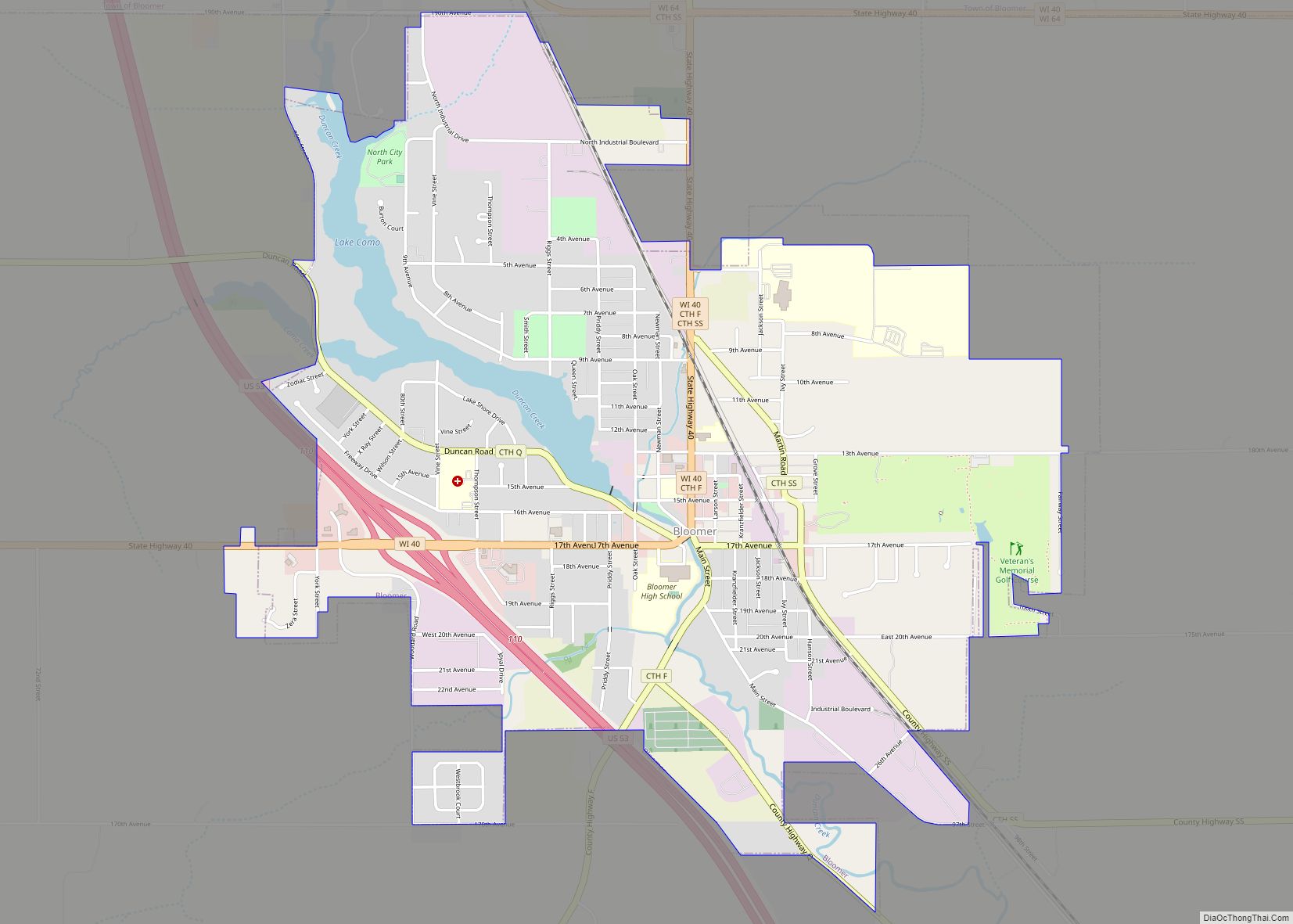
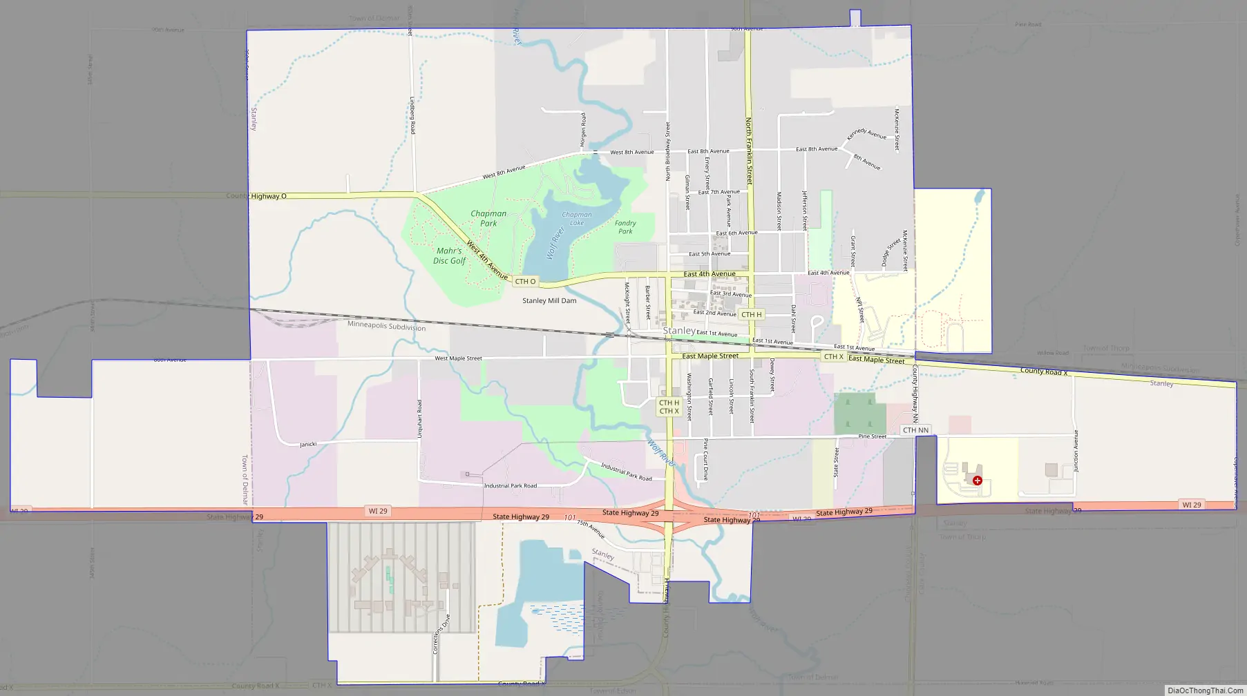
Stanley Road Map
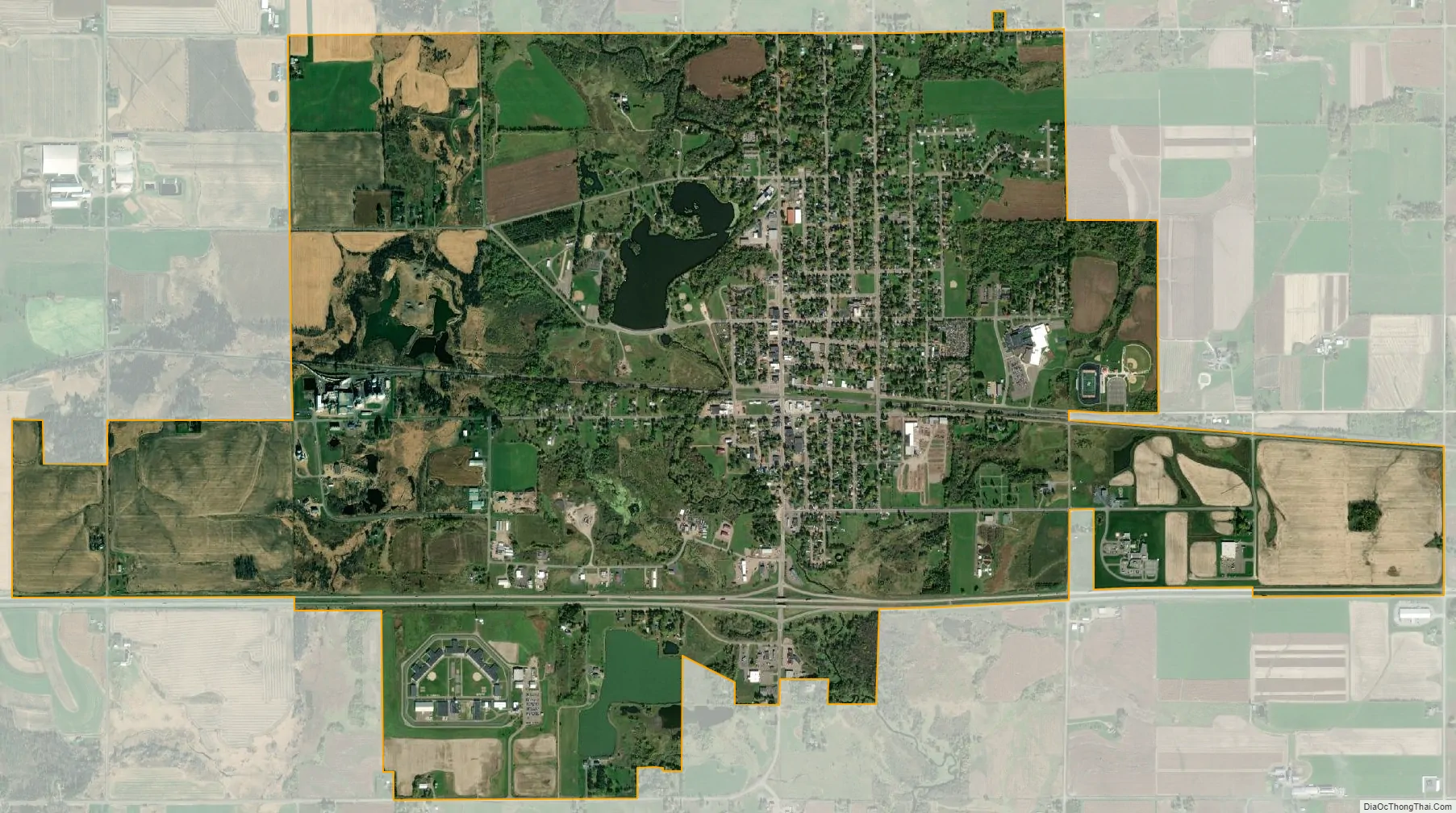
Stanley city Satellite Map
Geography
Stanley is located at 44°58′N 90°56′W / 44.967°N 90.933°W / 44.967; -90.933 (44.9613, -90.9385).
According to the United States Census Bureau, the city has a total area of 4.25 square miles (11.01 km), of which 4.18 square miles (10.83 km) is land and 0.07 square miles (0.18 km) is water.
Stanley is located primarily on the north side of Wisconsin State Highway 29. It is mostly in Chippewa County, but parts of the east side are in Clark County.
See also
Map of Wisconsin State and its subdivision:- Adams
- Ashland
- Barron
- Bayfield
- Brown
- Buffalo
- Burnett
- Calumet
- Chippewa
- Clark
- Columbia
- Crawford
- Dane
- Dodge
- Door
- Douglas
- Dunn
- Eau Claire
- Florence
- Fond du Lac
- Forest
- Grant
- Green
- Green Lake
- Iowa
- Iron
- Jackson
- Jefferson
- Juneau
- Kenosha
- Kewaunee
- La Crosse
- Lafayette
- Lake Michigan
- Lake Superior
- Langlade
- Lincoln
- Manitowoc
- Marathon
- Marinette
- Marquette
- Menominee
- Milwaukee
- Monroe
- Oconto
- Oneida
- Outagamie
- Ozaukee
- Pepin
- Pierce
- Polk
- Portage
- Price
- Racine
- Richland
- Rock
- Rusk
- Saint Croix
- Sauk
- Sawyer
- Shawano
- Sheboygan
- Taylor
- Trempealeau
- Vernon
- Vilas
- Walworth
- Washburn
- Washington
- Waukesha
- Waupaca
- Waushara
- Winnebago
- Wood
- Alabama
- Alaska
- Arizona
- Arkansas
- California
- Colorado
- Connecticut
- Delaware
- District of Columbia
- Florida
- Georgia
- Hawaii
- Idaho
- Illinois
- Indiana
- Iowa
- Kansas
- Kentucky
- Louisiana
- Maine
- Maryland
- Massachusetts
- Michigan
- Minnesota
- Mississippi
- Missouri
- Montana
- Nebraska
- Nevada
- New Hampshire
- New Jersey
- New Mexico
- New York
- North Carolina
- North Dakota
- Ohio
- Oklahoma
- Oregon
- Pennsylvania
- Rhode Island
- South Carolina
- South Dakota
- Tennessee
- Texas
- Utah
- Vermont
- Virginia
- Washington
- West Virginia
- Wisconsin
- Wyoming