Benton is a town in Lowndes County, Alabama, United States. Its population was 41 at the 2020 census, down from 49 at the 2010 census.
| Name: | Benton town |
|---|---|
| LSAD Code: | 43 |
| LSAD Description: | town (suffix) |
| State: | Alabama |
| County: | Lowndes County |
| Elevation: | 141 ft (43 m) |
| Total Area: | 0.34 sq mi (0.87 km²) |
| Land Area: | 0.30 sq mi (0.78 km²) |
| Water Area: | 0.04 sq mi (0.09 km²) |
| Total Population: | 41 |
| Population Density: | 135.76/sq mi (52.43/km²) |
| ZIP code: | 36785 |
| Area code: | 334 |
| FIPS code: | 0105692 |
| GNISfeature ID: | 0113937 |
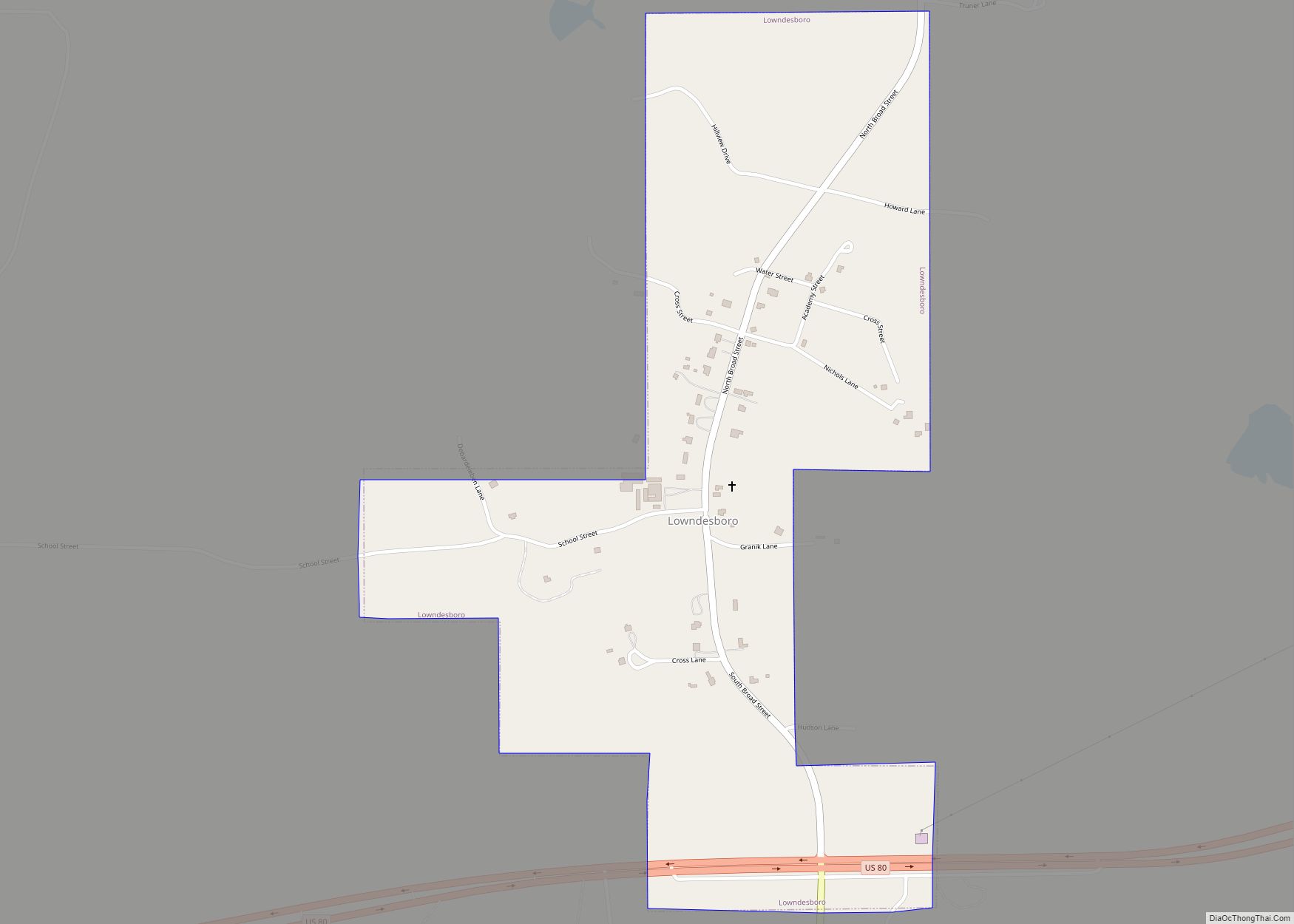
Online Interactive Map
Click on ![]() to view map in "full screen" mode.
to view map in "full screen" mode.
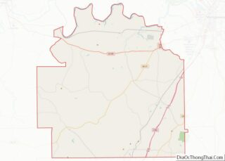
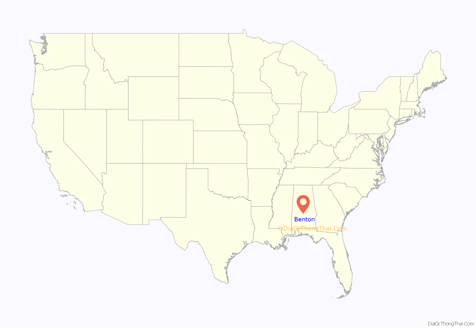
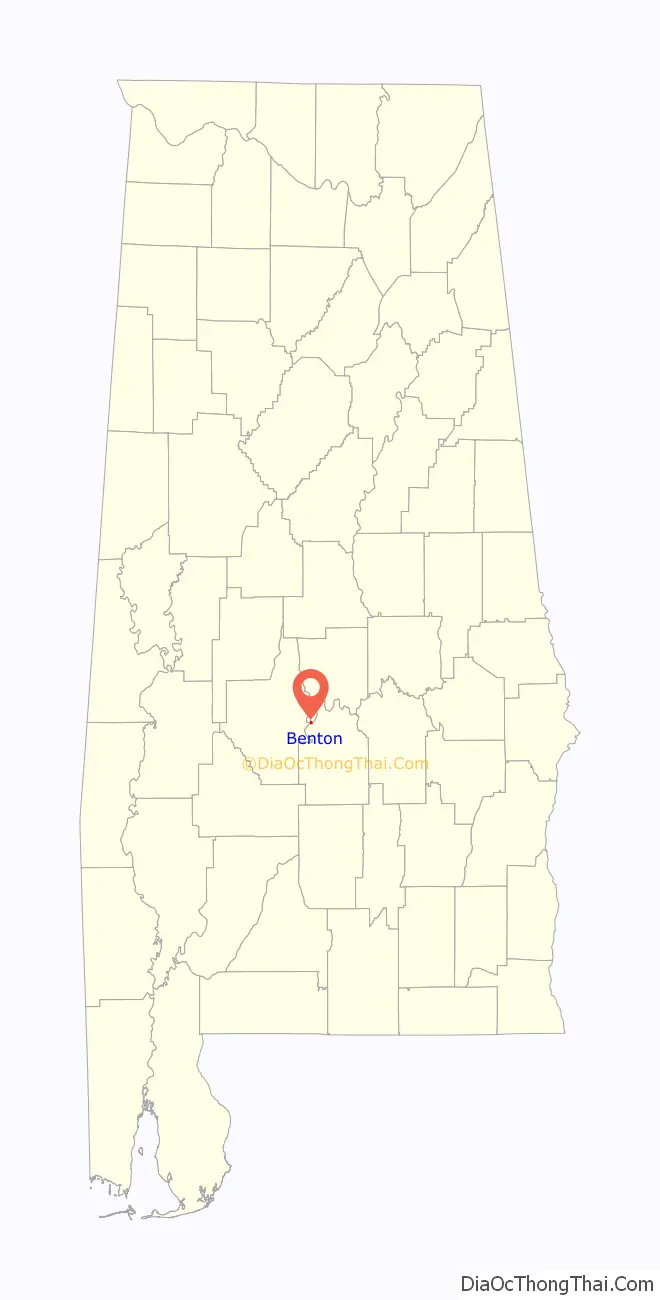
Benton location map. Where is Benton town?
History
Settled in 1832 on land owned by James Maull, it was initially known as Maull’s Landing, before it was renamed and incorporated as Benton in 1834. It was named after Thomas Hart Benton, then the U.S. Senator from Missouri, who had served under General Andrew Jackson in the Creek Campaign. During the steamboat era, it was a major trading stop along the Alabama River.
Maull’s son, Edward, auctioned off lots in 1855, that were incorporated into the town. The earliest year any population figures were returned by the U.S. Census for the area (below the county level) was in 1870, when Benton Beat (then one of ten divisions in Lowndes County) returned 2,627 residents, the majority of whom were newly emancipated blacks.
In 1880, Lowndes County was subdivided further into 20 beats (precincts), and the Benton Beat fell to 1,094 residents. In 1890, it declined to 994, and for the first time, the town of Benton was reported separately with a population of 265.
Benton’s incorporation would lapse shortly (the town did not report a separate population in 1900) and with the shift to railroads, followed by the outmigration of the majority black population, it would dwindle in size. The Benton Precinct would fall from 1,049 in 1900 (same as its 1880 population), down to 409 by 1950, before all the county precincts were eliminated and redistricted into census divisions.
In 1964, Benton was reincorporated, reporting 115 residents as of the 1970 census. As of 1990, it has declined to just under 50 residents and has held steady as of 2010. Out of Lowndes County’s seven incorporated communities, it is one of only two with a white majority (as of 2000 and 2010), Lowndesboro being the other. It is also one of the smallest incorporated communities in the state.
Benton, Alabama can be confused in genealogy research with Calhoun County, Alabama, which was known as Benton County from 1832 to 1858, and which was also originally named for Senator Benton, but renamed because of his unpopular (in Alabama) political views — namely, opposition to slavery — by the late 1850s.
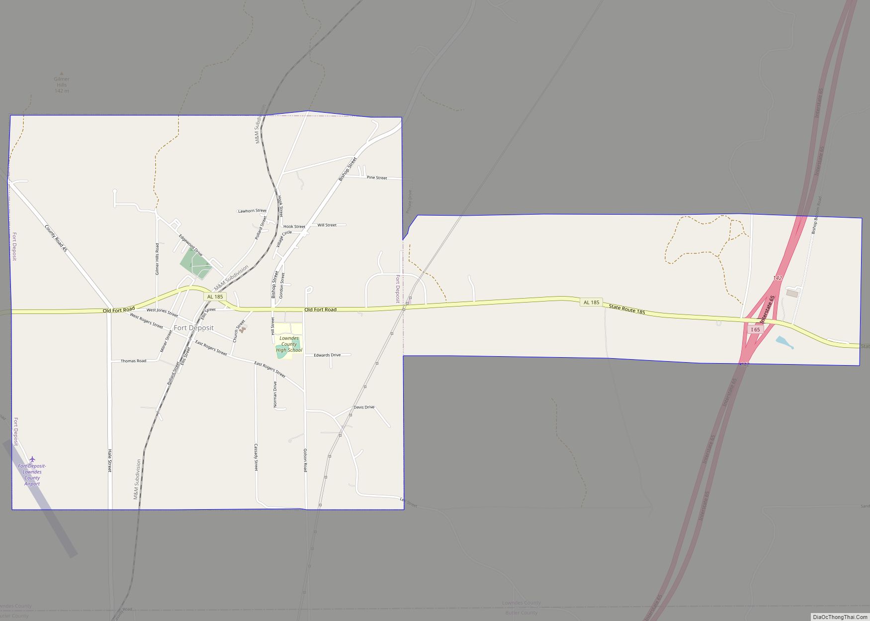
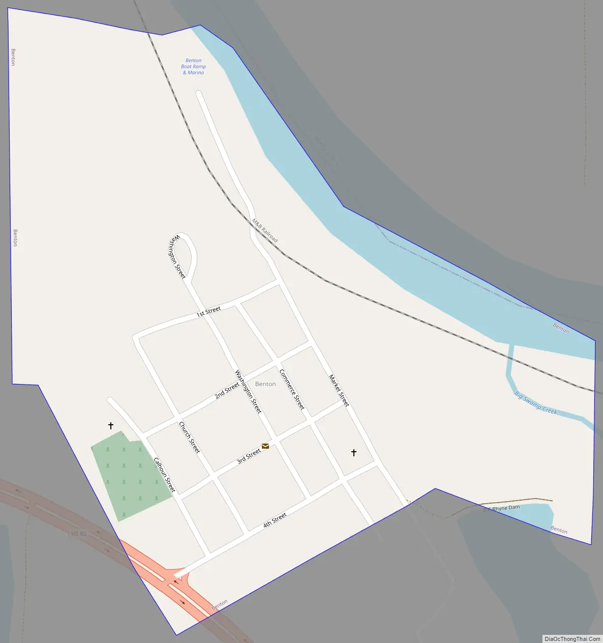
Benton Road Map
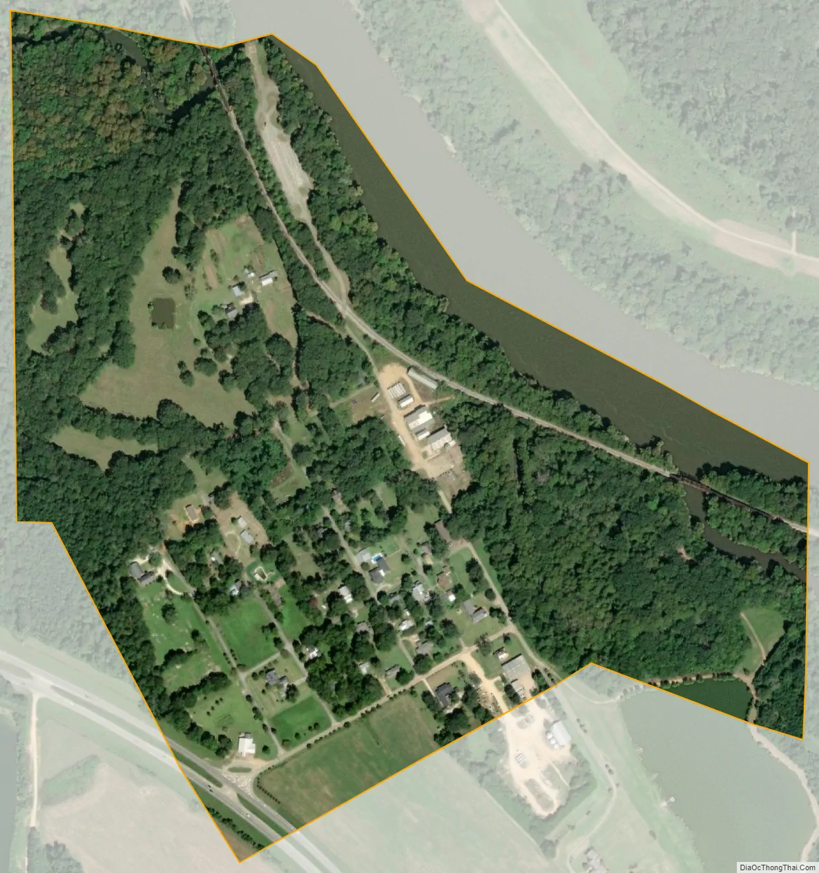
Benton city Satellite Map
Geography
Benton is located at 32°18′22″N 86°49′3″W / 32.30611°N 86.81750°W / 32.30611; -86.81750 (32.306248, -86.817551).
According to the U.S. Census Bureau, the town has a total area of 0.3 square miles (0.78 km), of which 0.3 square miles (0.78 km) is land and 0.04 square miles (0.10 km) (8.82%) is water.
See also
Map of Alabama State and its subdivision:- Autauga
- Baldwin
- Barbour
- Bibb
- Blount
- Bullock
- Butler
- Calhoun
- Chambers
- Cherokee
- Chilton
- Choctaw
- Clarke
- Clay
- Cleburne
- Coffee
- Colbert
- Conecuh
- Coosa
- Covington
- Crenshaw
- Cullman
- Dale
- Dallas
- De Kalb
- Elmore
- Escambia
- Etowah
- Fayette
- Franklin
- Geneva
- Greene
- Hale
- Henry
- Houston
- Jackson
- Jefferson
- Lamar
- Lauderdale
- Lawrence
- Lee
- Limestone
- Lowndes
- Macon
- Madison
- Marengo
- Marion
- Marshall
- Mobile
- Monroe
- Montgomery
- Morgan
- Perry
- Pickens
- Pike
- Randolph
- Russell
- Saint Clair
- Shelby
- Sumter
- Talladega
- Tallapoosa
- Tuscaloosa
- Walker
- Washington
- Wilcox
- Winston
- Alabama
- Alaska
- Arizona
- Arkansas
- California
- Colorado
- Connecticut
- Delaware
- District of Columbia
- Florida
- Georgia
- Hawaii
- Idaho
- Illinois
- Indiana
- Iowa
- Kansas
- Kentucky
- Louisiana
- Maine
- Maryland
- Massachusetts
- Michigan
- Minnesota
- Mississippi
- Missouri
- Montana
- Nebraska
- Nevada
- New Hampshire
- New Jersey
- New Mexico
- New York
- North Carolina
- North Dakota
- Ohio
- Oklahoma
- Oregon
- Pennsylvania
- Rhode Island
- South Carolina
- South Dakota
- Tennessee
- Texas
- Utah
- Vermont
- Virginia
- Washington
- West Virginia
- Wisconsin
- Wyoming