Hayneville is a town in Lowndes County, Alabama, United States and its county seat. At the 2010 census the population was 932, down from its record high of 1,177 in 2000. It is also part of the Montgomery Metropolitan Statistical Area. It initially incorporated in 1831, but lapsed, finally reincorporating in 1967. Before 1970, the town appeared only twice on the U.S. Census: in 1850 and 1890. The 1850 estimate of 800 residents ranked it as the largest town in the county at the time.
Located in the fertile Black Belt region, Hayneville was the county seat in a plantation economy after Native Americans were removed that used slave labor for cotton production. The town was later a railway terminus and home to the Hayneville Railway Company, which was organized in 1903. Two years later, the company was reorganized as the Hayneville & Montgomery Railroad Company and provided connections for shipping with the L&N Railroad Company’s tracks.
| Name: | Hayneville town |
|---|---|
| LSAD Code: | 43 |
| LSAD Description: | town (suffix) |
| State: | Alabama |
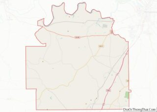
| County: | Lowndes County |
| Elevation: | 243 ft (74 m) |
| Total Area: | 1.88 sq mi (4.86 km²) |
| Land Area: | 1.86 sq mi (4.82 km²) |
| Water Area: | 0.02 sq mi (0.04 km²) |
| Total Population: | 830 |
| Population Density: | 446.00/sq mi (172.16/km²) |
| ZIP code: | 36040 |
| Area code: | 334 |
| FIPS code: | 0133712 |
| GNISfeature ID: | 0119902 |
Online Interactive Map
Click on ![]() to view map in "full screen" mode.
to view map in "full screen" mode.
Hayneville location map. Where is Hayneville town?


History
Settlement (1820-1831)
Hayneville was founded in 1820 by settlers from the Edgefield, Abbeville, and Colleton districts of South Carolina on property purchased from the U.S. Land Office at Cahawba. Throughout the 1820s, Hayneville was known as “Big Swamp”. The indigenous Muscogee Creek people had been forced to cede their lands under various treaties with the United States, and most of them were removed to Indian Territory west of the Mississippi River.
In 1831, after being chosen as the county seat of Lowndes County, the town was officially named Hayneville in honor of Robert Y. Hayne, governor of South Carolina and a U.S. senator.
Late 19th and early 20th century
During the early part of the 20th century, the boll weevil invaded the South, destroying cotton crops across the most productive counties. In the latter half of the 20th century, the agricultural focus shifted to more diverse crops and livestock. Hayneville, like the rest of the Black Belt, has struggled to develop a prosperous economy. Lowndes County Training School was established in Hayneville in 1913.
Civil Rights Era and “Bloody Lowndes” (1965)
Despite the county’s black majority, it had no registered black voters in the spring of 1965, after more than 60 years of disenfranchisement under the Alabama Constitution. Civil rights activists worked in Hayneville and Lowndes to organize residents in preparation for registration and voting. After passage of the federal Voting Rights Act of 1965 in August, activists provided residents with political education and helped them register to vote. They continued to work to integrate stores and public facilities. On August 13, 1965, Jonathan Daniels, an Episcopal seminarian from New Hampshire, worked with a group of 29 civil rights protesters to picket whites-only stores in the small town of Fort Deposit. All of the protesters were arrested by county police and taken to jail in nearby Hayneville. Five juvenile protesters were released the next day. The rest of the group was held for six days; they refused to accept bail unless everyone was bailed.
On August 20, the prisoners were released without transport back to Fort Deposit. After release, the group waited by a road nearby the jail. Daniels, along with three others — a white Catholic priest and two black women activists—went to buy soft drinks at Varner’s Grocery Store, one of the few local stores that would serve non-whites. There, they encountered Tom L. Coleman, an engineer for the state highway department and unpaid special county deputy wielding a shotgun. The man threatened the group, and finally leveled his gun at seventeen-year-old Ruby Sales. Daniels pushed Sales to the ground and caught the full blast of the gun, which killed him instantly. Father Richard F. Morrisroe grabbed the other protester and ran. Coleman shot Morrisroe, wounding him in the lower back. White resistance to civil rights organizers continued.
In June 1965, Gregory Orr, a student from upstate New York who traveled to Mississippi to take part in civil rights protests, was driving home from the capital of Jackson. He had been arrested there with other protesters and held without charges for 10 days at the state fairgrounds. While driving through Lowndes County, he was stopped by white vigilantes, kidnapped and held without charges for eight days in the Hayneville courthouse jail. Back in New York that August, Orr read a report of the murder of Jonathan Daniels in The New York Times. He recognized one of his kidnappers in a photograph—apparently Tom Coleman. Numerous other incidents have been documented in the county of violence against civil rights people.
Civil rights activities in Lowndes continued in the county under the leadership of Stokeley Carmichael, the Student Nonviolent Coordinating Committee (SNCC) and local residents, to educate and register blacks to vote after passage of the Voting Rights Act of 1965. They organized the Lowndes County Freedom Organization (LFCO), the first independent black political party in the county since Reconstruction era, and continued to register voters. They ran a slate of candidates in 1966 but lost due to election fraud in the majority-black county. In 1970, African-American chairman of LCFO John Hulett was elected as county sheriff.
Incorporation (1967-1968)
The incorporation of Hayneville as a town began in July 1967 with the vision of 25 qualified electors of the county and residents of the Hayneville community. Two subsequent attempts were made for incorporation, the last resulting in favor of incorporation. Only one person filed for a statement of candidacy and was nominated for the office of Mayor and five places on the town council. Therefore, due to the completion of the requirements of incorporation, the court declared on July 15, 1968, by Probate Judge Harold Hammond, that Hayneville was completely incorporated.
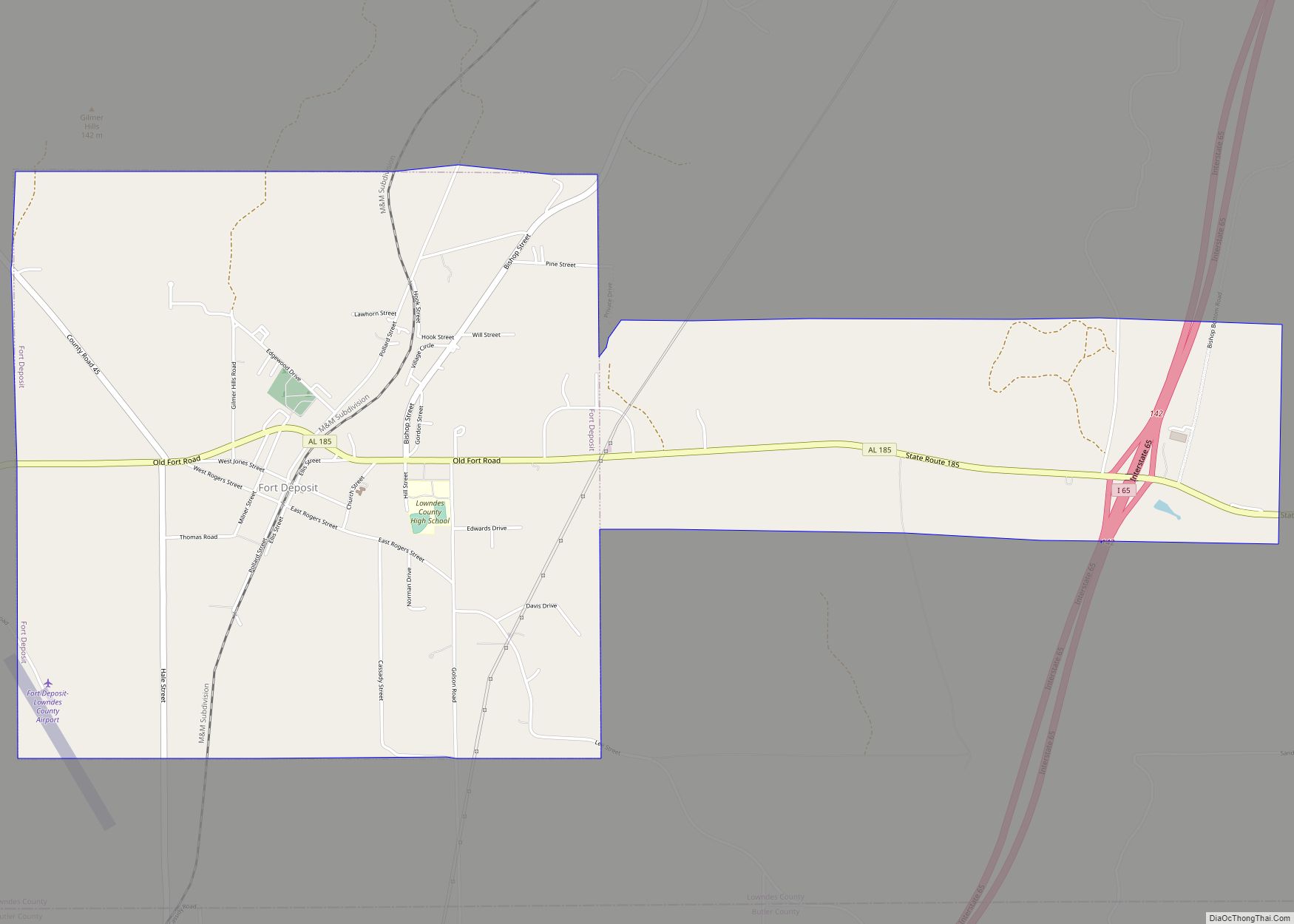
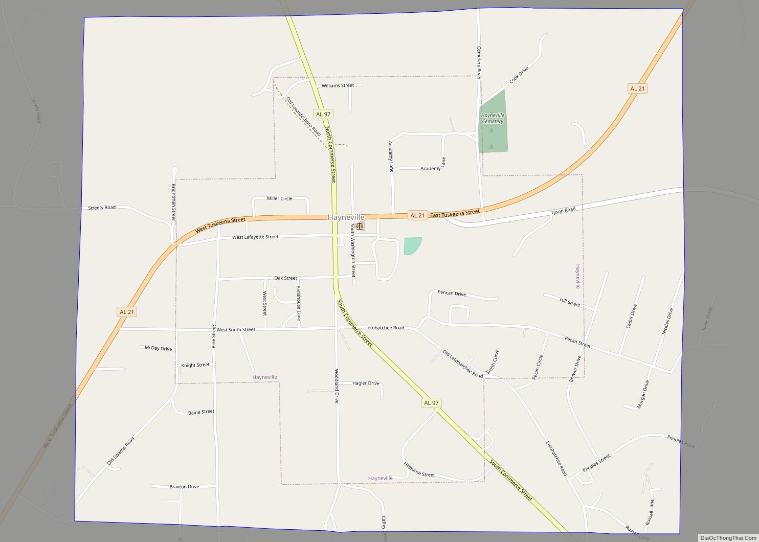
Hayneville Road Map
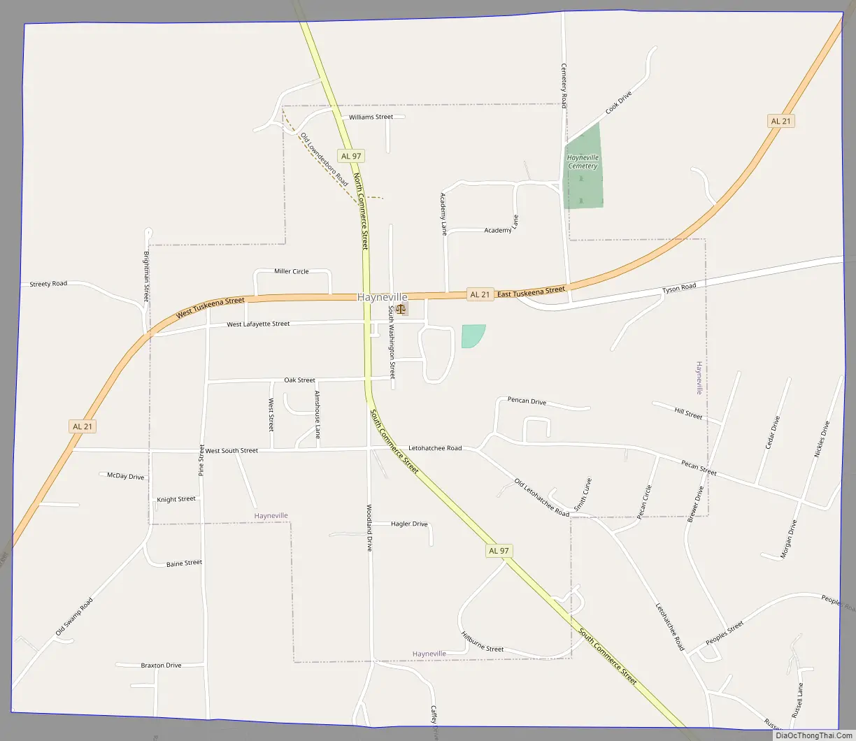
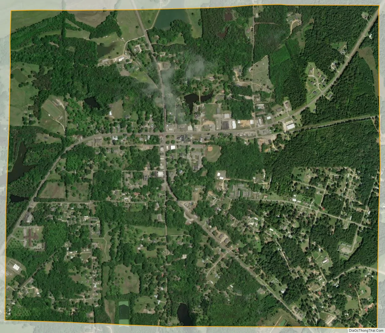
Hayneville city Satellite Map
Geography
Hayneville is located at 32°10′57″N 86°34′50″W / 32.18250°N 86.58056°W / 32.18250; -86.58056 (32.182365, -86.580468).
According to the U.S. Census Bureau, the town has a total area of 1.9 square miles (4.9 km), of which 1.9 square miles (4.9 km) is land and 0.54% is water.
Climate
According to the Köppen climate classification, Hayneville has a humid subtropical climate (abbreviated Cfa).
See also
Map of Alabama State and its subdivision:- Autauga
- Baldwin
- Barbour
- Bibb
- Blount
- Bullock
- Butler
- Calhoun
- Chambers
- Cherokee
- Chilton
- Choctaw
- Clarke
- Clay
- Cleburne
- Coffee
- Colbert
- Conecuh
- Coosa
- Covington
- Crenshaw
- Cullman
- Dale
- Dallas
- De Kalb
- Elmore
- Escambia
- Etowah
- Fayette
- Franklin
- Geneva
- Greene
- Hale
- Henry
- Houston
- Jackson
- Jefferson
- Lamar
- Lauderdale
- Lawrence
- Lee
- Limestone
- Lowndes
- Macon
- Madison
- Marengo
- Marion
- Marshall
- Mobile
- Monroe
- Montgomery
- Morgan
- Perry
- Pickens
- Pike
- Randolph
- Russell
- Saint Clair
- Shelby
- Sumter
- Talladega
- Tallapoosa
- Tuscaloosa
- Walker
- Washington
- Wilcox
- Winston
- Alabama
- Alaska
- Arizona
- Arkansas
- California
- Colorado
- Connecticut
- Delaware
- District of Columbia
- Florida
- Georgia
- Hawaii
- Idaho
- Illinois
- Indiana
- Iowa
- Kansas
- Kentucky
- Louisiana
- Maine
- Maryland
- Massachusetts
- Michigan
- Minnesota
- Mississippi
- Missouri
- Montana
- Nebraska
- Nevada
- New Hampshire
- New Jersey
- New Mexico
- New York
- North Carolina
- North Dakota
- Ohio
- Oklahoma
- Oregon
- Pennsylvania
- Rhode Island
- South Carolina
- South Dakota
- Tennessee
- Texas
- Utah
- Vermont
- Virginia
- Washington
- West Virginia
- Wisconsin
- Wyoming