Chickasaw is a city in Mobile County, Alabama, United States. As of the 2020 census the population was 6,457, up from 6,106 at the 2010 census. It is part of the Mobile metropolitan area.
| Name: | Chickasaw city |
|---|---|
| LSAD Code: | 25 |
| LSAD Description: | city (suffix) |
| State: | Alabama |
| County: | Mobile County |
| Elevation: | 30 ft (9 m) |
| Total Area: | 4.56 sq mi (11.80 km²) |
| Land Area: | 4.21 sq mi (10.89 km²) |
| Water Area: | 0.35 sq mi (0.91 km²) |
| Total Population: | 6,457 |
| Population Density: | 1,534.82/sq mi (592.66/km²) |
| ZIP code: | 36611, 36671 |
| Area code: | 251 |
| FIPS code: | 0114392 |
| GNISfeature ID: | 0116030 |
| Website: | www.cityofchickasaw.org |
Online Interactive Map
Click on ![]() to view map in "full screen" mode.
to view map in "full screen" mode.
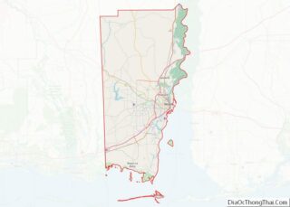
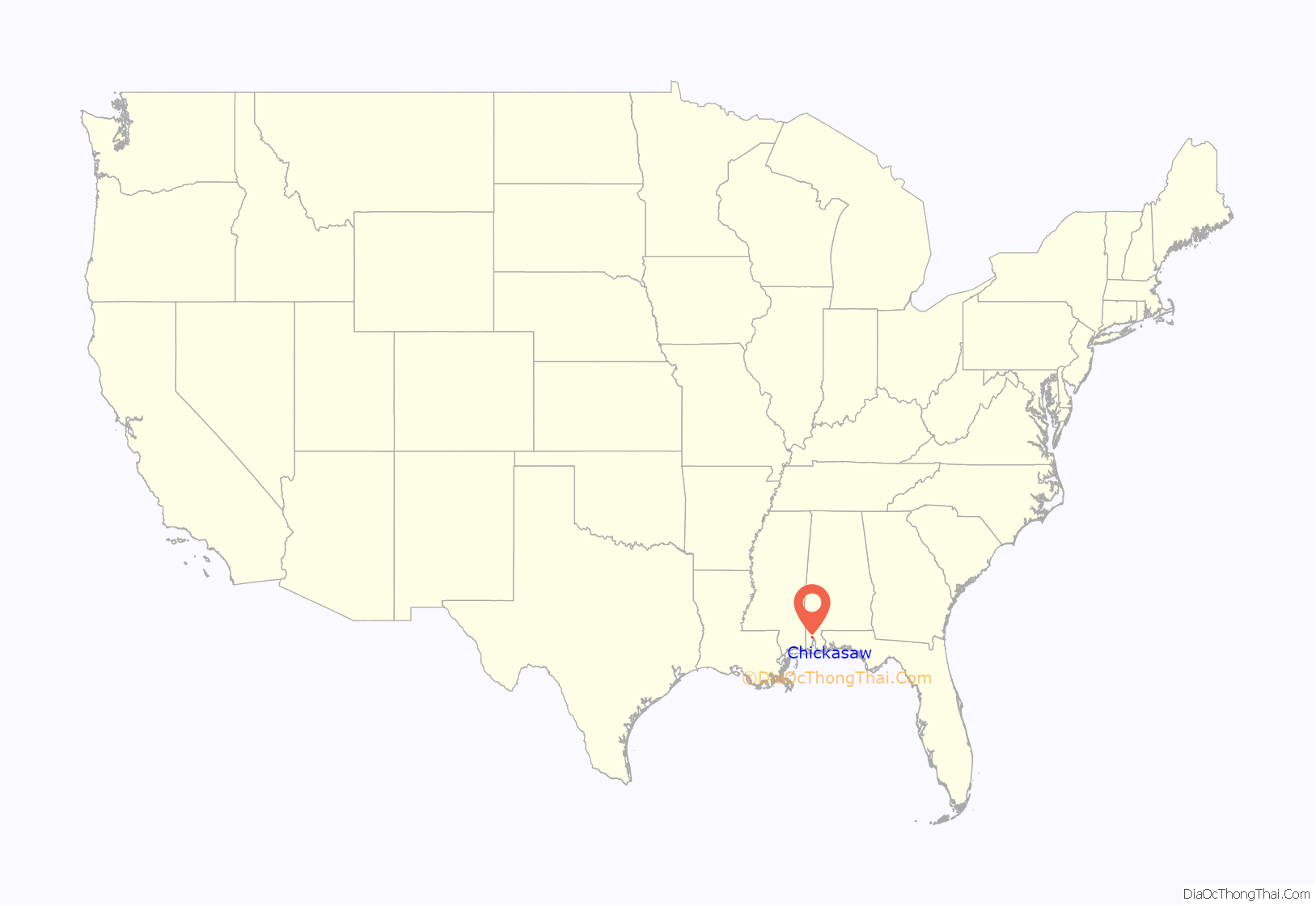
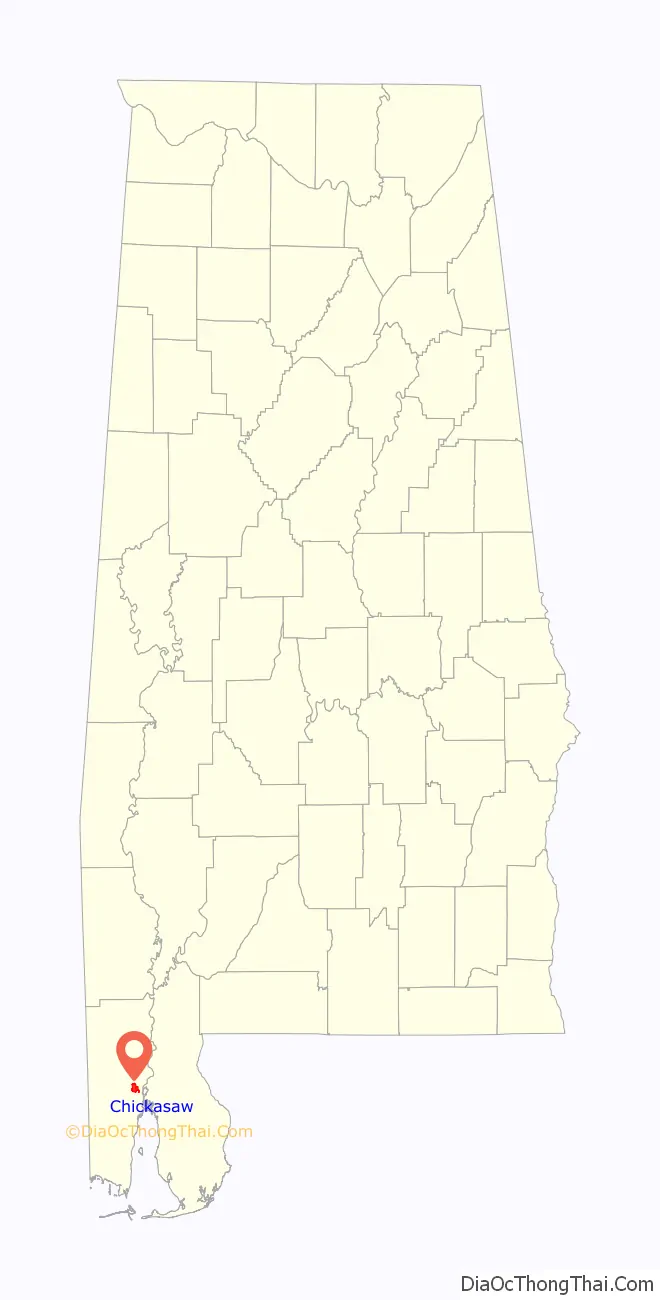
Chickasaw location map. Where is Chickasaw city?
History
Company town
In the early 20th century before the city now standing was incorporated, the present site of Chickasaw was a company town, wholly owned by Chickasaw Shipyard and developed for its workers. The property was bought by Gulf Shipbuilding Corporation in 1940. It expanded with the defense buildup during World War II.
It attempted to restrict the activities of Jehovah’s Witnesses, the subject of a case that reached the Supreme Court of the United States, Marsh v. Alabama, 326 U.S. 501 (1946). The court ruled that although the Chickasaw Shipyard Village was privately owned, because it functioned as a town open to the public, the right conferred on residents and visitors by the First Amendment to the United States Constitution cannot be abridged.
In 1946 the village was purchased by Leedy Investment Company. It renovated housing and offered it for sale to renters. Some former residents returned to the village and bought houses. It suffered from downturns in shipbuilding, which caused the loss of jobs.
Residents worked to have the village documented, and in 2004 the Chickasaw Shipyard Village Historic District was added to the National Register of Historic Places.
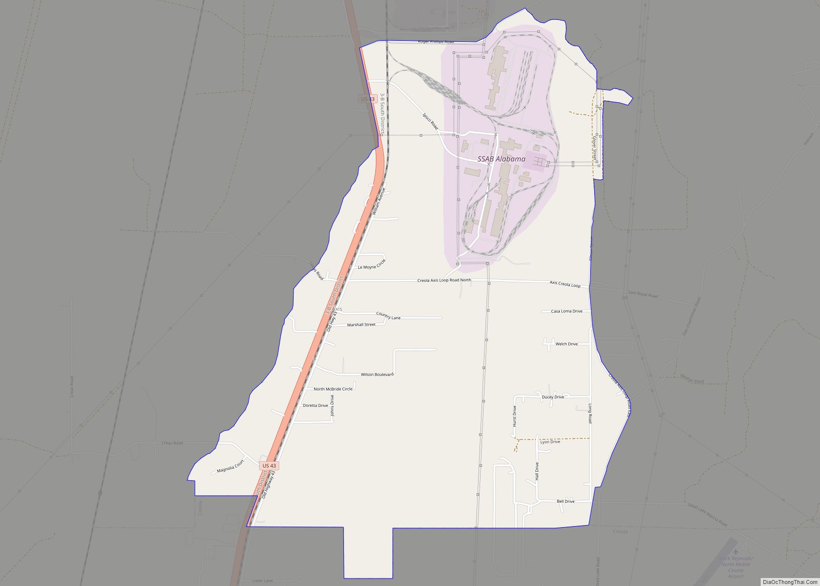
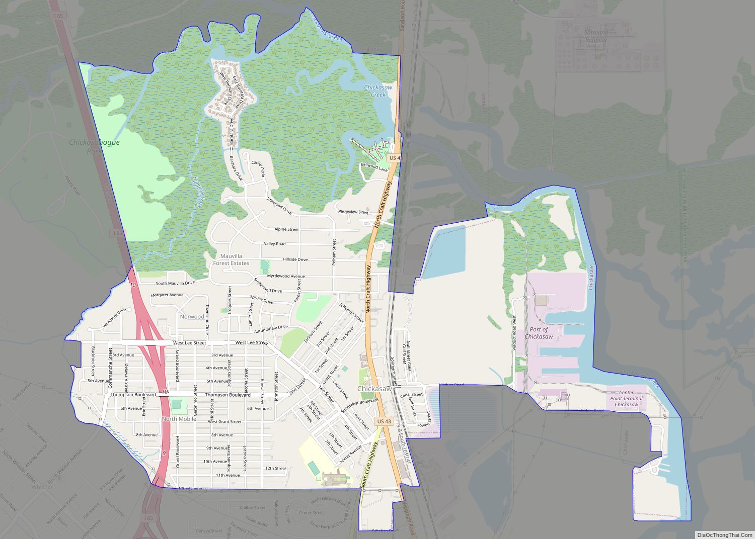
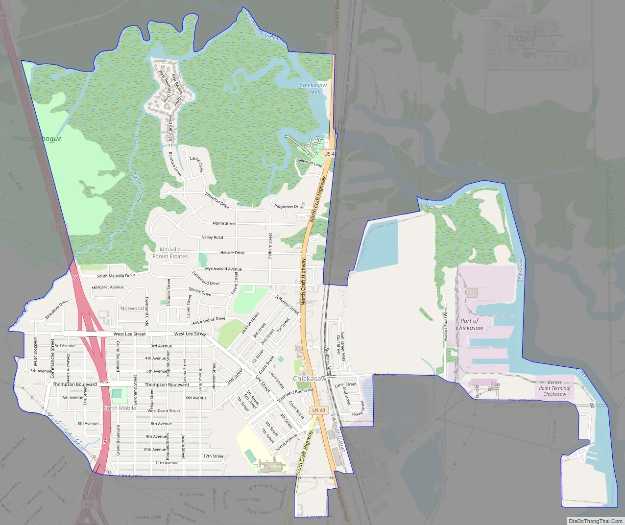
Chickasaw Road Map
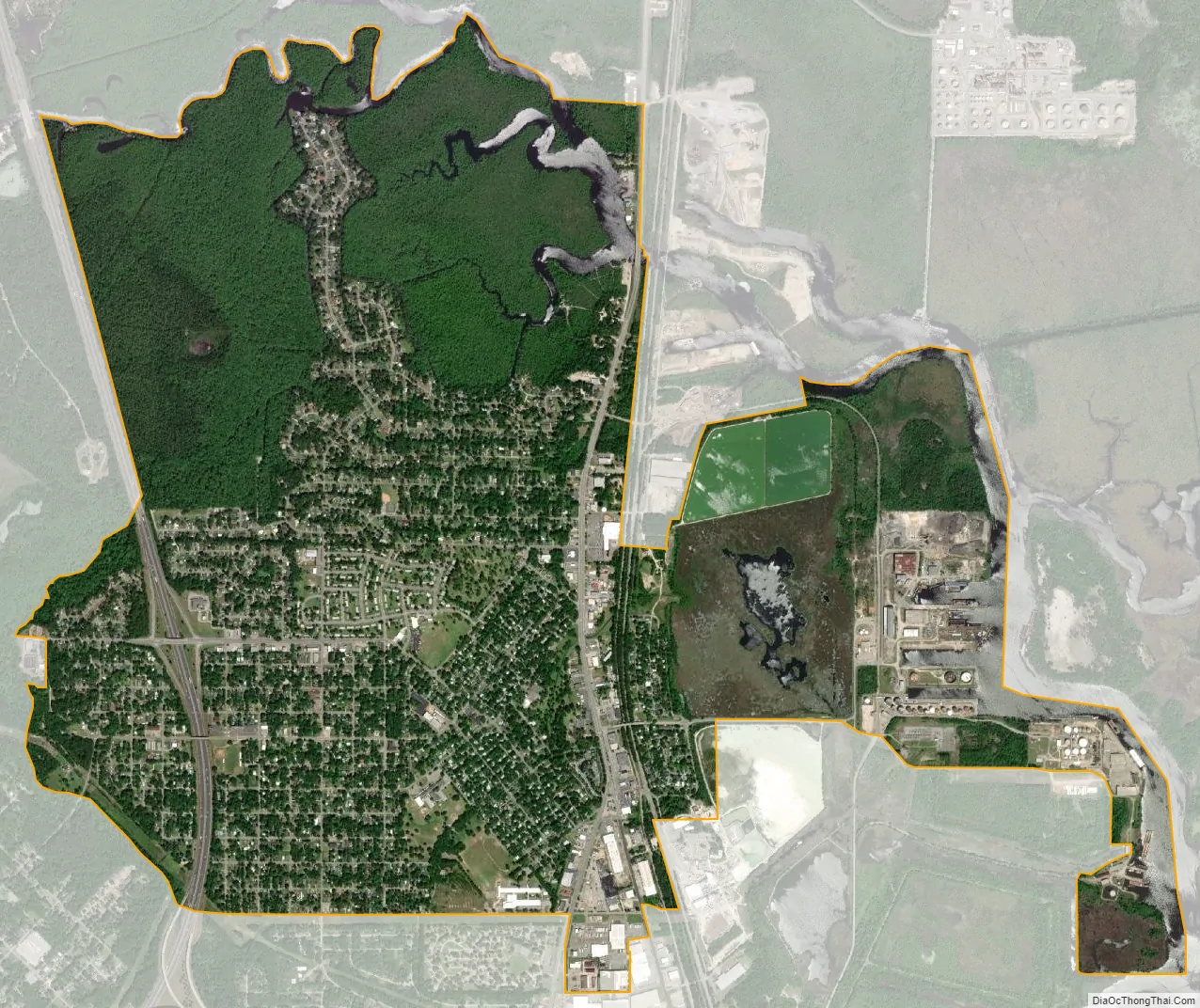
Chickasaw city Satellite Map
Geography
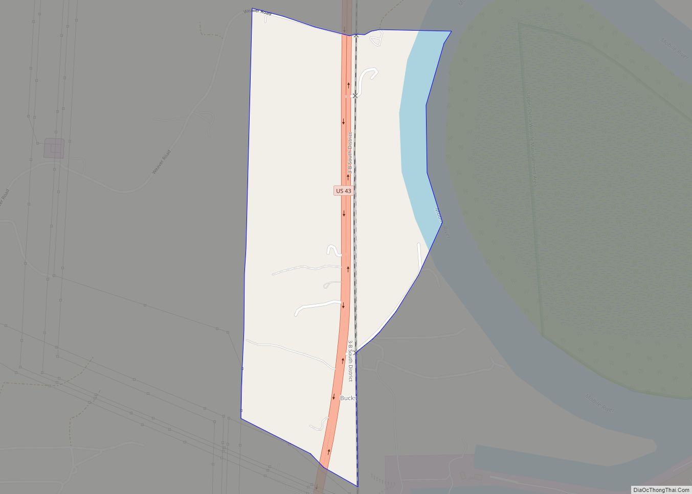
Chickasaw is located in eastern Mobile County at 30°45′54″N 88°05′01″W / 30.764987°N 88.083713°W / 30.764987; -88.083713. It is bordered to the east by the city of Mobile, to the south and west by Prichard, and to the north by Saraland. U.S. Route 43 (Telegraph Road and North Craft Highway) is the main road through Chickasaw, leading south 5 miles (8 km) to downtown Mobile and north 60 miles (97 km) to Jackson. Interstate 65 passes through the west side of Chickasaw, with access from Exit 10 (West Lee Street). I-65 leads south into Mobile and northeast 162 miles (261 km) to Montgomery.
According to the U.S. Census Bureau, the city of Chickasaw has a total area of 4.56 square miles (11.8 km), of which 4.21 square miles (10.9 km) are land and 0.35 square miles (0.91 km), or 7.70%, are water. Chickasaw Creek, a tidal arm of the Mobile River, forms the northeast border of the city. The Port of Chickasaw is in the eastern part of the city, on Chickasaw Creek.
See also
Map of Alabama State and its subdivision:- Autauga
- Baldwin
- Barbour
- Bibb
- Blount
- Bullock
- Butler
- Calhoun
- Chambers
- Cherokee
- Chilton
- Choctaw
- Clarke
- Clay
- Cleburne
- Coffee
- Colbert
- Conecuh
- Coosa
- Covington
- Crenshaw
- Cullman
- Dale
- Dallas
- De Kalb
- Elmore
- Escambia
- Etowah
- Fayette
- Franklin
- Geneva
- Greene
- Hale
- Henry
- Houston
- Jackson
- Jefferson
- Lamar
- Lauderdale
- Lawrence
- Lee
- Limestone
- Lowndes
- Macon
- Madison
- Marengo
- Marion
- Marshall
- Mobile
- Monroe
- Montgomery
- Morgan
- Perry
- Pickens
- Pike
- Randolph
- Russell
- Saint Clair
- Shelby
- Sumter
- Talladega
- Tallapoosa
- Tuscaloosa
- Walker
- Washington
- Wilcox
- Winston
- Alabama
- Alaska
- Arizona
- Arkansas
- California
- Colorado
- Connecticut
- Delaware
- District of Columbia
- Florida
- Georgia
- Hawaii
- Idaho
- Illinois
- Indiana
- Iowa
- Kansas
- Kentucky
- Louisiana
- Maine
- Maryland
- Massachusetts
- Michigan
- Minnesota
- Mississippi
- Missouri
- Montana
- Nebraska
- Nevada
- New Hampshire
- New Jersey
- New Mexico
- New York
- North Carolina
- North Dakota
- Ohio
- Oklahoma
- Oregon
- Pennsylvania
- Rhode Island
- South Carolina
- South Dakota
- Tennessee
- Texas
- Utah
- Vermont
- Virginia
- Washington
- West Virginia
- Wisconsin
- Wyoming