Collinsville is a town in DeKalb and Cherokee counties in the U.S. state of Alabama. It was incorporated in 1887. As of the 2010 census, the population was 1,983.
Collinsville’s largest employer is Koch Foods. It is a poultry plant that employees approximately 800 employees.
| Name: | Collinsville town |
|---|---|
| LSAD Code: | 43 |
| LSAD Description: | town (suffix) |
| State: | Alabama |
| County: | Cherokee County, DeKalb County |
| Elevation: | 791 ft (241 m) |
| Total Area: | 3.41 sq mi (8.82 km²) |
| Land Area: | 3.35 sq mi (8.66 km²) |
| Water Area: | 0.06 sq mi (0.16 km²) |
| Total Population: | 2,059 |
| Population Density: | 615.55/sq mi (237.67/km²) |
| ZIP code: | 35961 |
| Area code: | 256 |
| FIPS code: | 0116600 |
| GNISfeature ID: | 2406296 |
| Website: | www.collinsvillealabama.net |
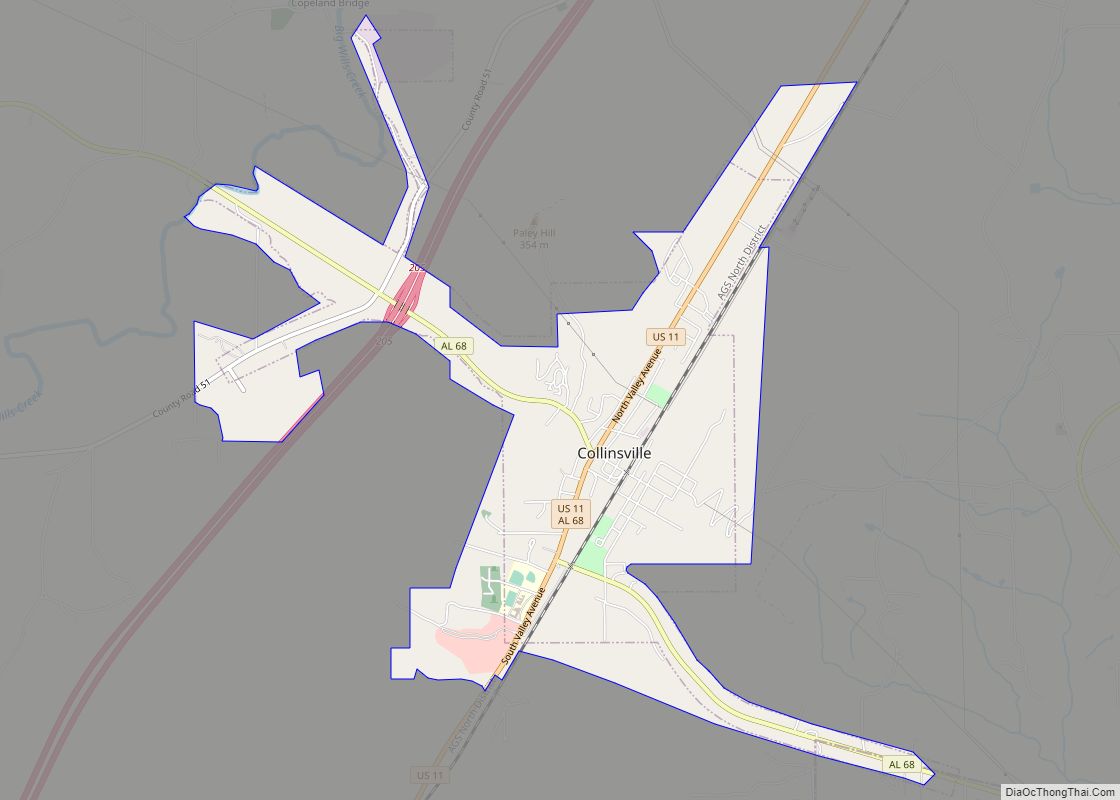
Online Interactive Map
Click on ![]() to view map in "full screen" mode.
to view map in "full screen" mode.
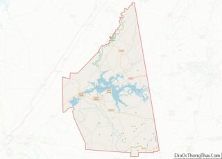
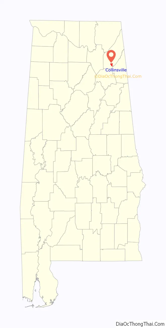
Collinsville location map. Where is Collinsville town?
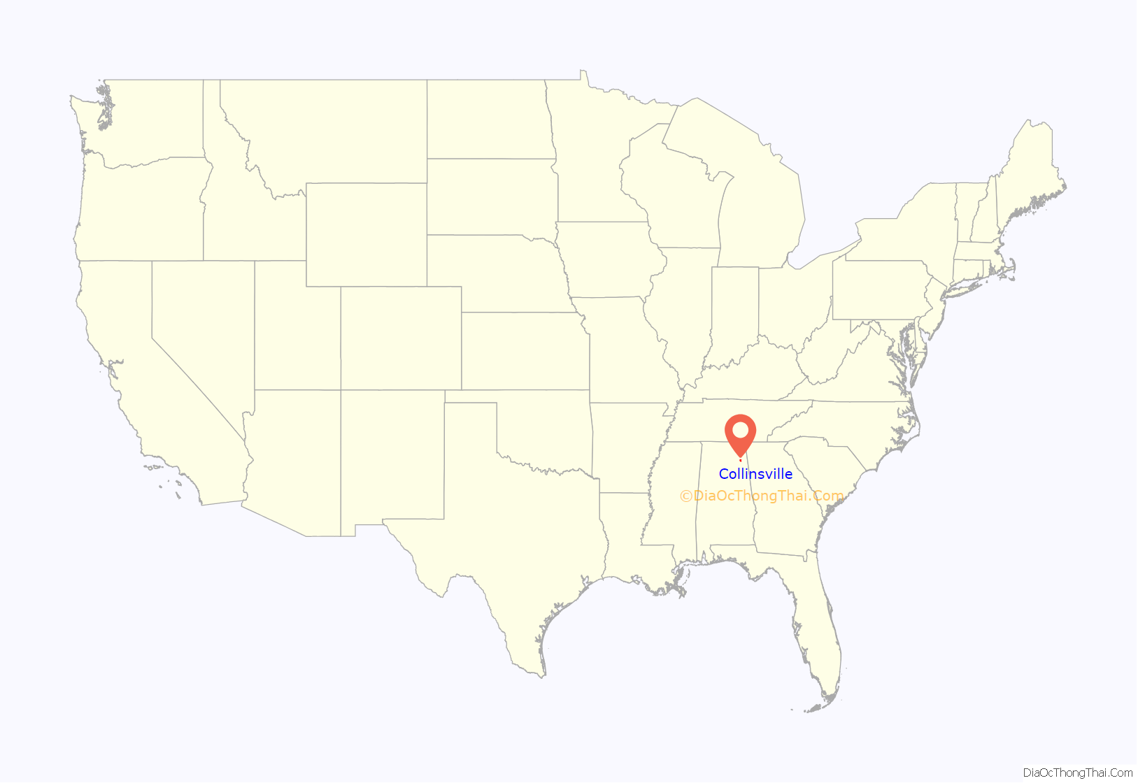
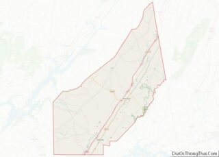
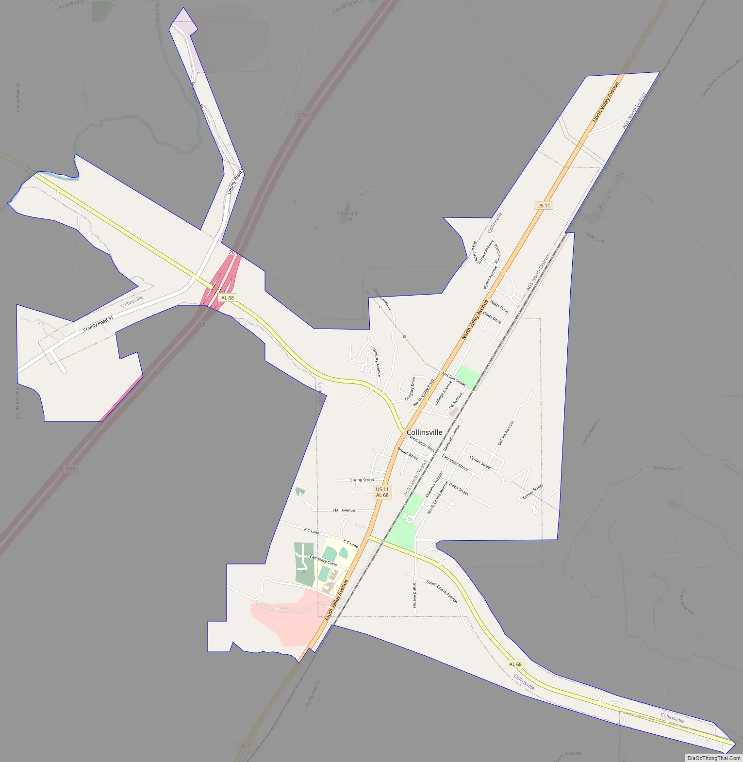
Collinsville Road Map
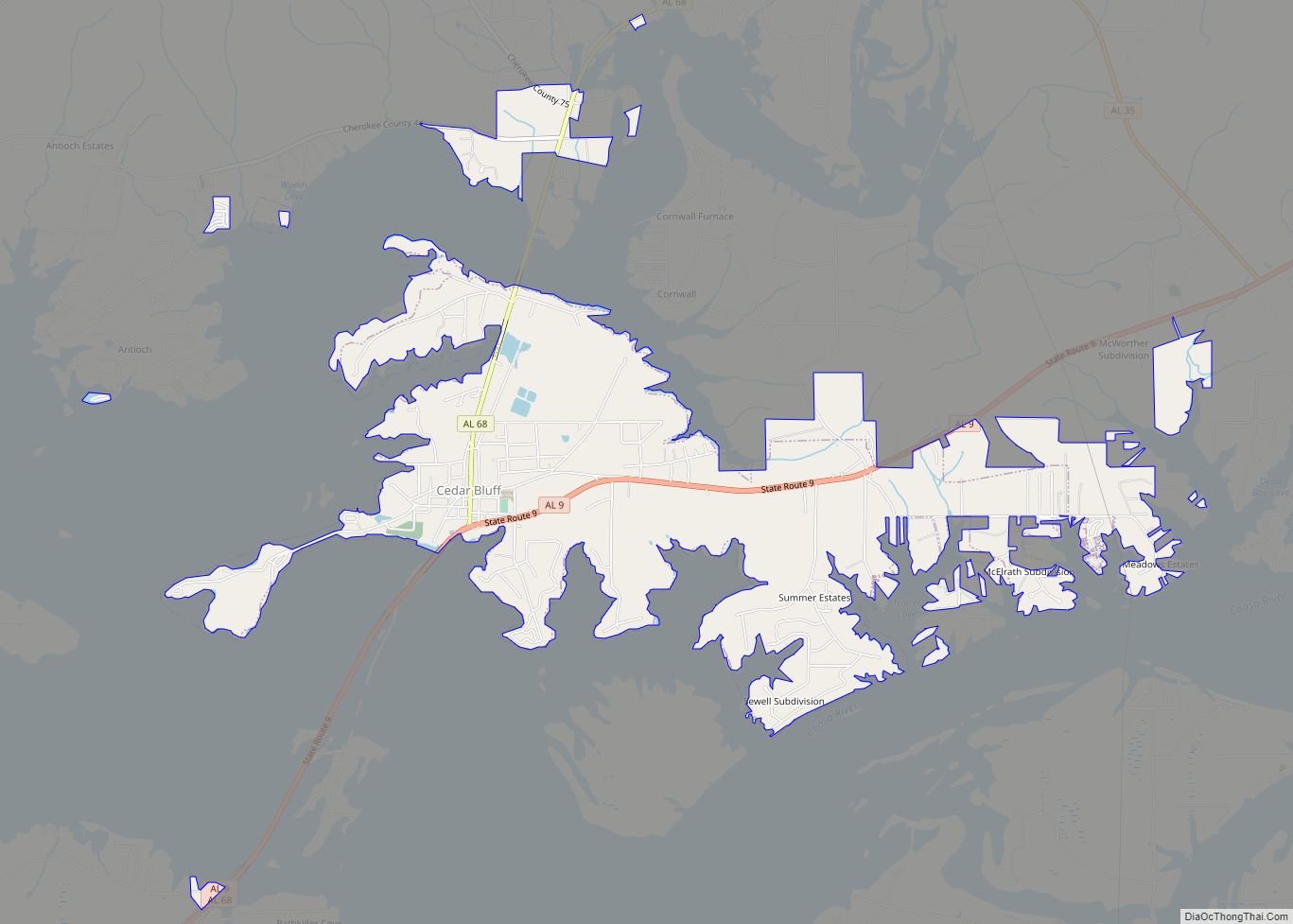
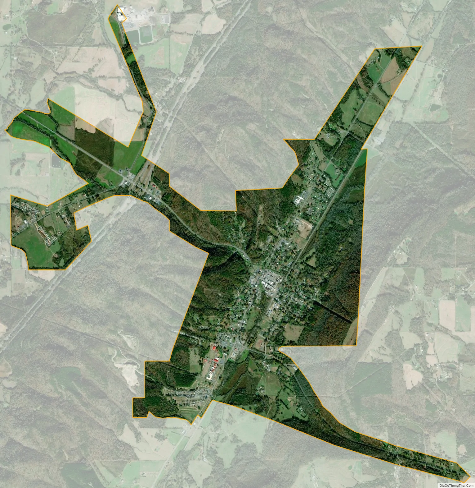
Collinsville city Satellite Map
Geography
Collinsville is located in southern DeKalb County at 34°15’55.555″ North, 85°51’41.483″ West (34.265432, -85.861523). A small portion extends southeast along Alabama State Route 68 into Cherokee County. The town is located in the Little Wills Valley, between Lookout Mountain to the east and the smaller Big Ridge to the west.
According to the U.S. Census Bureau, the town has a total area of 3.9 square miles (10.2 km), of which 0.019 square miles (0.05 km), or 0.44%, is water.
See also
Map of Alabama State and its subdivision:- Autauga
- Baldwin
- Barbour
- Bibb
- Blount
- Bullock
- Butler
- Calhoun
- Chambers
- Cherokee
- Chilton
- Choctaw
- Clarke
- Clay
- Cleburne
- Coffee
- Colbert
- Conecuh
- Coosa
- Covington
- Crenshaw
- Cullman
- Dale
- Dallas
- De Kalb
- Elmore
- Escambia
- Etowah
- Fayette
- Franklin
- Geneva
- Greene
- Hale
- Henry
- Houston
- Jackson
- Jefferson
- Lamar
- Lauderdale
- Lawrence
- Lee
- Limestone
- Lowndes
- Macon
- Madison
- Marengo
- Marion
- Marshall
- Mobile
- Monroe
- Montgomery
- Morgan
- Perry
- Pickens
- Pike
- Randolph
- Russell
- Saint Clair
- Shelby
- Sumter
- Talladega
- Tallapoosa
- Tuscaloosa
- Walker
- Washington
- Wilcox
- Winston
- Alabama
- Alaska
- Arizona
- Arkansas
- California
- Colorado
- Connecticut
- Delaware
- District of Columbia
- Florida
- Georgia
- Hawaii
- Idaho
- Illinois
- Indiana
- Iowa
- Kansas
- Kentucky
- Louisiana
- Maine
- Maryland
- Massachusetts
- Michigan
- Minnesota
- Mississippi
- Missouri
- Montana
- Nebraska
- Nevada
- New Hampshire
- New Jersey
- New Mexico
- New York
- North Carolina
- North Dakota
- Ohio
- Oklahoma
- Oregon
- Pennsylvania
- Rhode Island
- South Carolina
- South Dakota
- Tennessee
- Texas
- Utah
- Vermont
- Virginia
- Washington
- West Virginia
- Wisconsin
- Wyoming