Coosada is a town in Elmore County, Alabama, United States. At the 2020 census, the population was 1,217. It is part of the Montgomery Metropolitan Statistical Area.
| Name: | Coosada town |
|---|---|
| LSAD Code: | 43 |
| LSAD Description: | town (suffix) |
| State: | Alabama |
| County: | Elmore County |
| Elevation: | 180 ft (55 m) |
| Total Area: | 7.13 sq mi (18.48 km²) |
| Land Area: | 6.89 sq mi (17.86 km²) |
| Water Area: | 0.24 sq mi (0.62 km²) |
| Total Population: | 1,217 |
| Population Density: | 176.53/sq mi (68.16/km²) |
| ZIP code: | 36020 |
| Area code: | 334 |
| FIPS code: | 0117176 |
| GNISfeature ID: | 0137171 |
| Website: | townofcoosada.com |
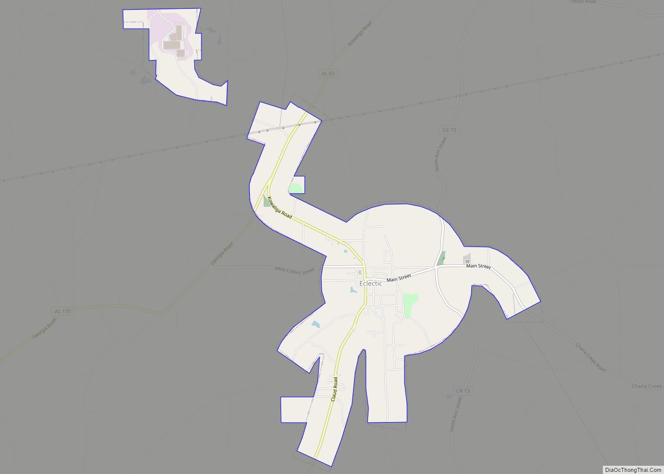
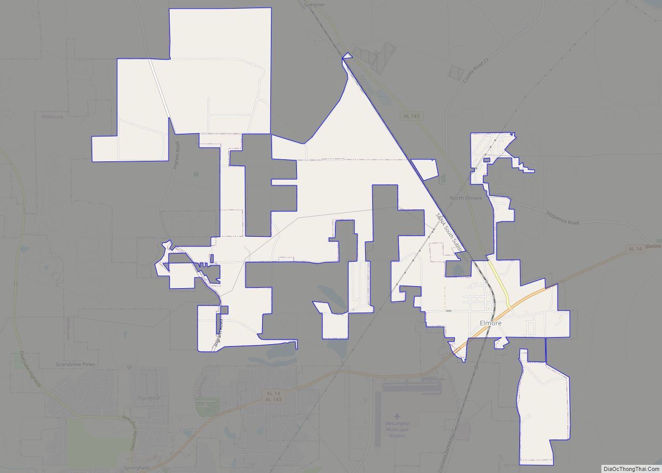
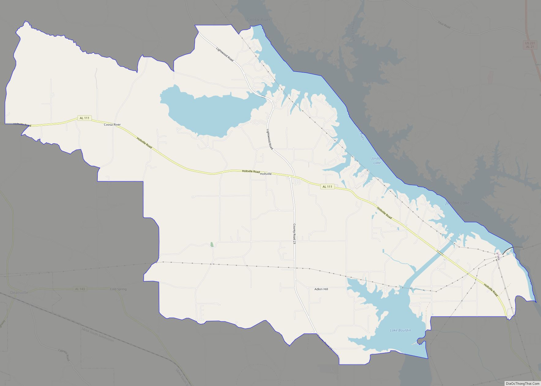
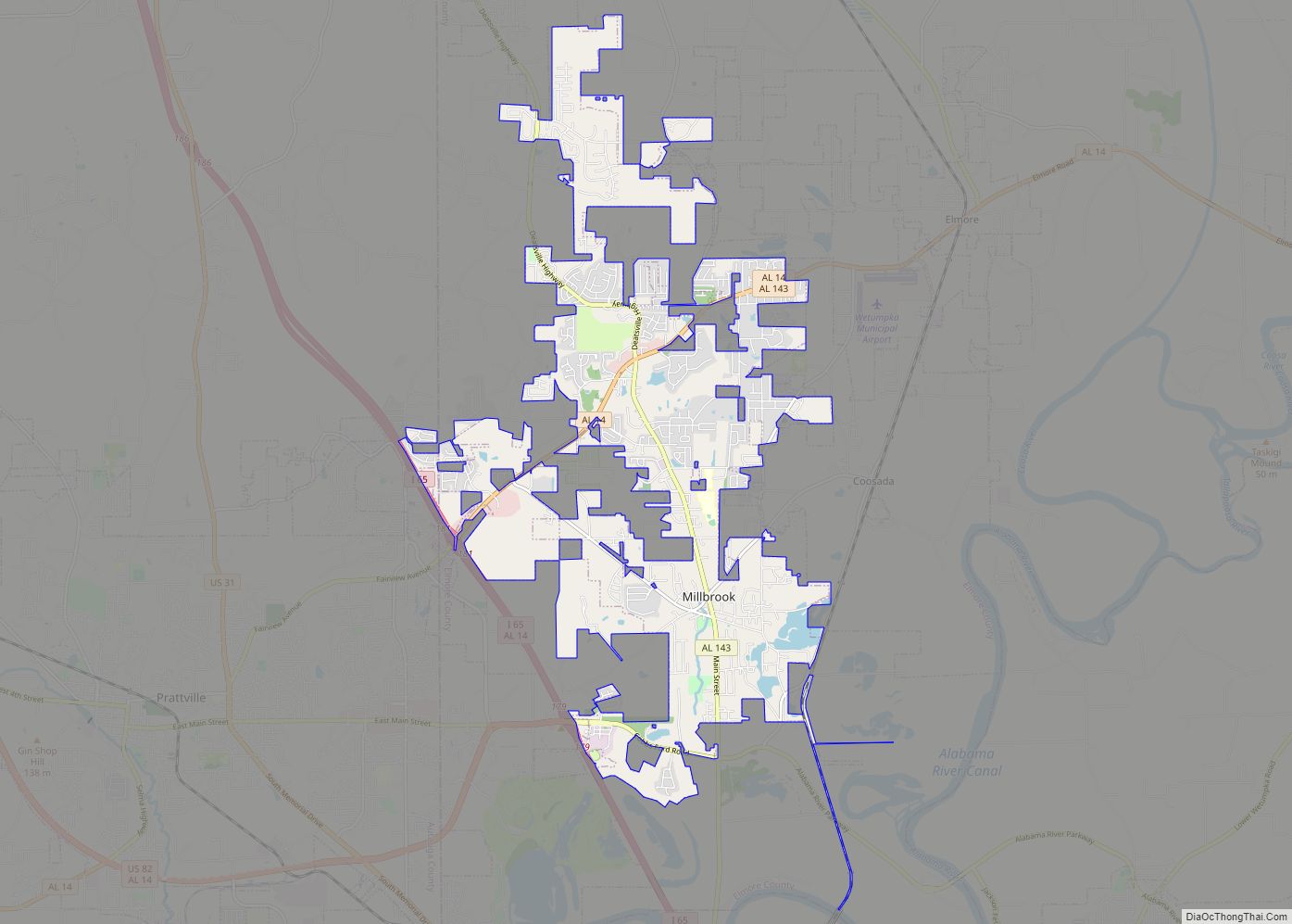
Online Interactive Map
Click on ![]() to view map in "full screen" mode.
to view map in "full screen" mode.
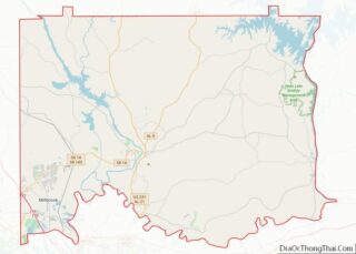
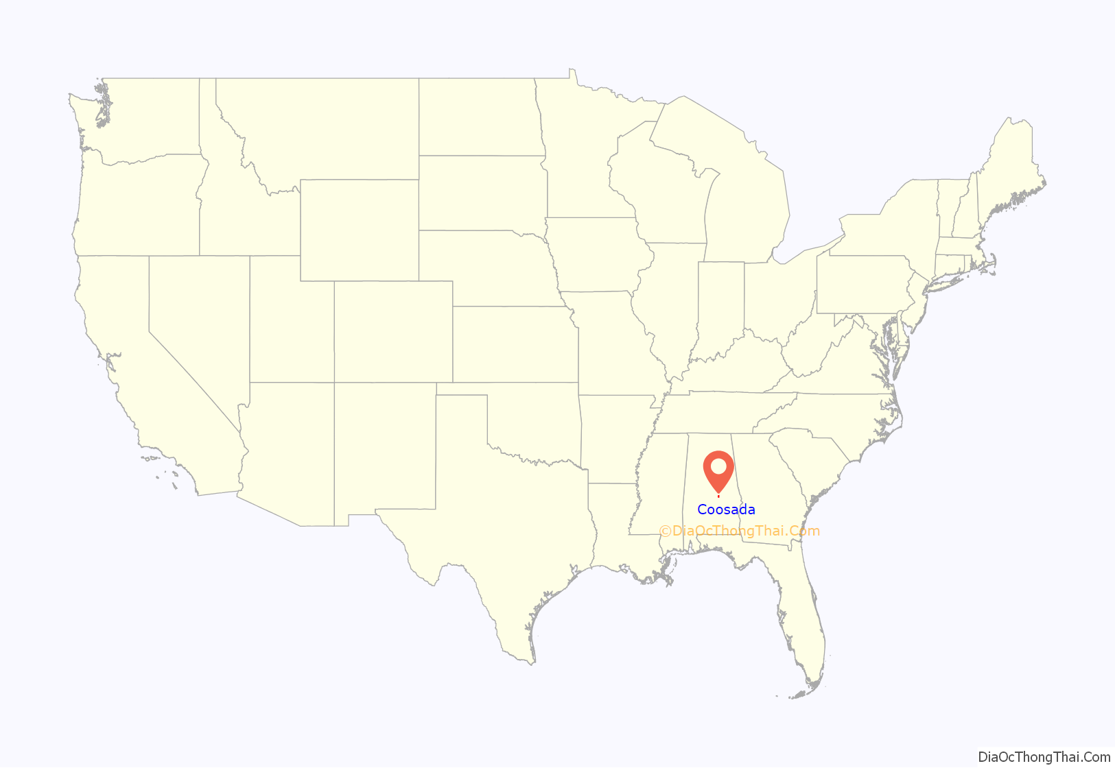
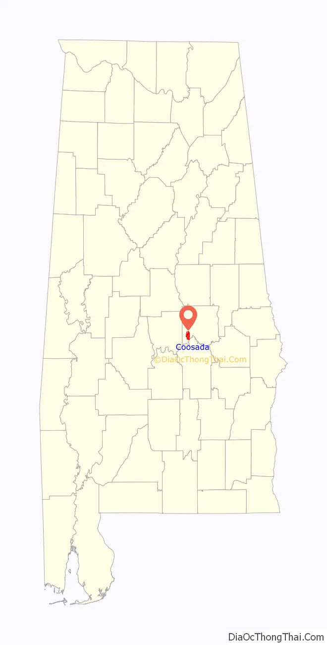
Coosada location map. Where is Coosada town?
History
Coosawda was home to a Creek (Coushatta tribe) village called Koasati in the 18th and early 19th centuries. By invitation, many Chickamauga Cherokee followers of Dragging Canoe fled to the town during—and immediately following—the American War of Independence. Coosada was the birthplace of the influential Creek leader, William Weatherford, who led the Red Stick uprising of 1813–1814. After that, the Native American population was removed to the west.
Frontiersmen from the fledgling United States quickly settled in the area. The future governor of the state of Alabama, William Wyatt Bibb, migrated to the area at that time. A land speculator from Georgia, he purchased the land that the village of Koasati occupied, and sub-divided it into lots for sale. By 1818, the town had a post office and a sawmill. Following the establishment of the train depot in 1872, the settlement was called “Coosada Station.” Around 1890 the town became simply “Coosada.”
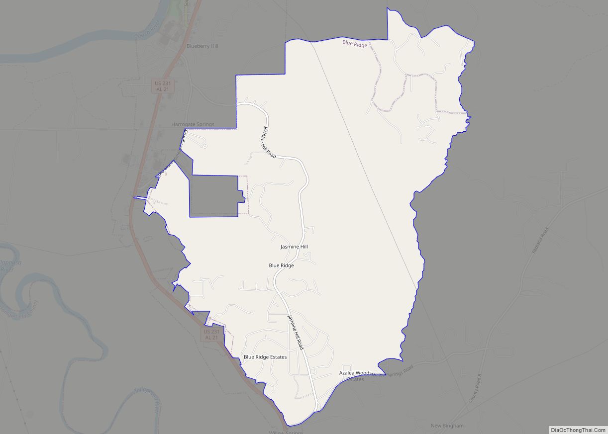
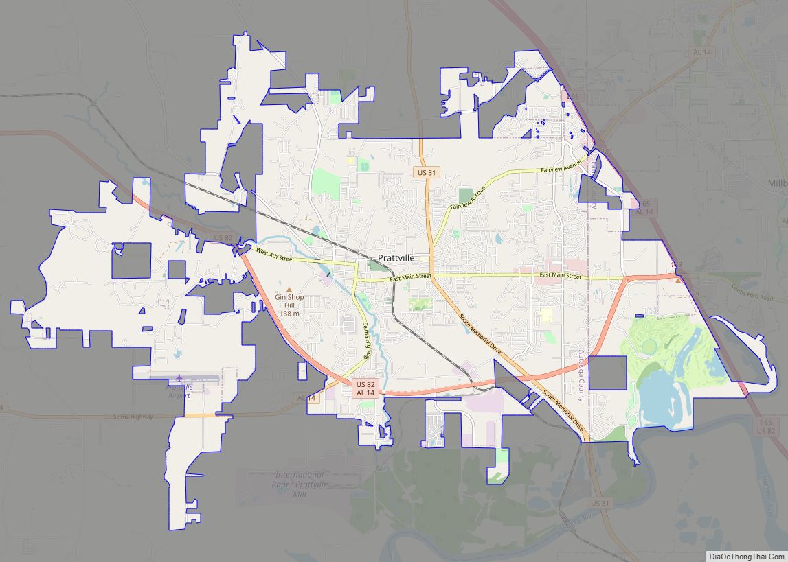
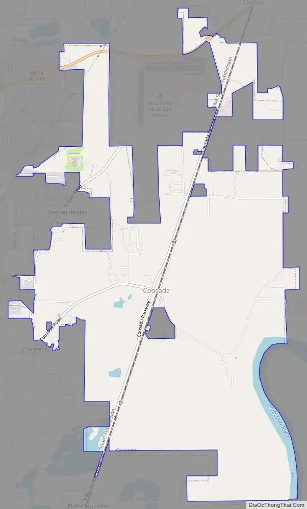
Coosada Road Map
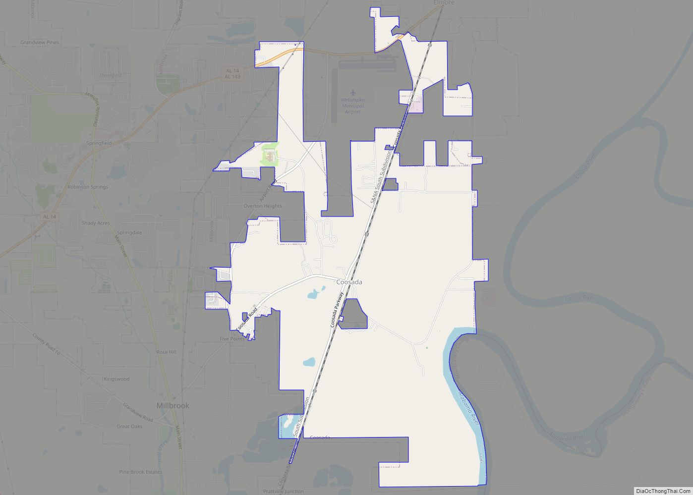
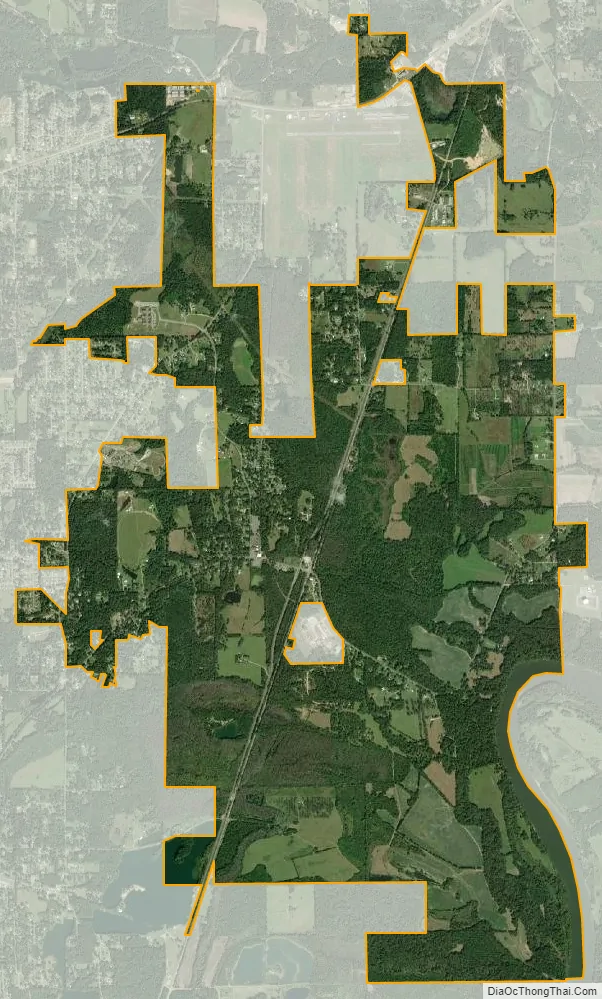
Coosada city Satellite Map
Geography
Coosada is located on the Alabama River at (32.504197, -86.334120). According to the U.S. Census Bureau, the town has a total area of 7.3 square miles (19 km), of which 7.2 square miles (19 km) is land and 0.2 square miles (0.52 km) (3.37%) is water.
See also
Map of Alabama State and its subdivision:- Autauga
- Baldwin
- Barbour
- Bibb
- Blount
- Bullock
- Butler
- Calhoun
- Chambers
- Cherokee
- Chilton
- Choctaw
- Clarke
- Clay
- Cleburne
- Coffee
- Colbert
- Conecuh
- Coosa
- Covington
- Crenshaw
- Cullman
- Dale
- Dallas
- De Kalb
- Elmore
- Escambia
- Etowah
- Fayette
- Franklin
- Geneva
- Greene
- Hale
- Henry
- Houston
- Jackson
- Jefferson
- Lamar
- Lauderdale
- Lawrence
- Lee
- Limestone
- Lowndes
- Macon
- Madison
- Marengo
- Marion
- Marshall
- Mobile
- Monroe
- Montgomery
- Morgan
- Perry
- Pickens
- Pike
- Randolph
- Russell
- Saint Clair
- Shelby
- Sumter
- Talladega
- Tallapoosa
- Tuscaloosa
- Walker
- Washington
- Wilcox
- Winston
- Alabama
- Alaska
- Arizona
- Arkansas
- California
- Colorado
- Connecticut
- Delaware
- District of Columbia
- Florida
- Georgia
- Hawaii
- Idaho
- Illinois
- Indiana
- Iowa
- Kansas
- Kentucky
- Louisiana
- Maine
- Maryland
- Massachusetts
- Michigan
- Minnesota
- Mississippi
- Missouri
- Montana
- Nebraska
- Nevada
- New Hampshire
- New Jersey
- New Mexico
- New York
- North Carolina
- North Dakota
- Ohio
- Oklahoma
- Oregon
- Pennsylvania
- Rhode Island
- South Carolina
- South Dakota
- Tennessee
- Texas
- Utah
- Vermont
- Virginia
- Washington
- West Virginia
- Wisconsin
- Wyoming