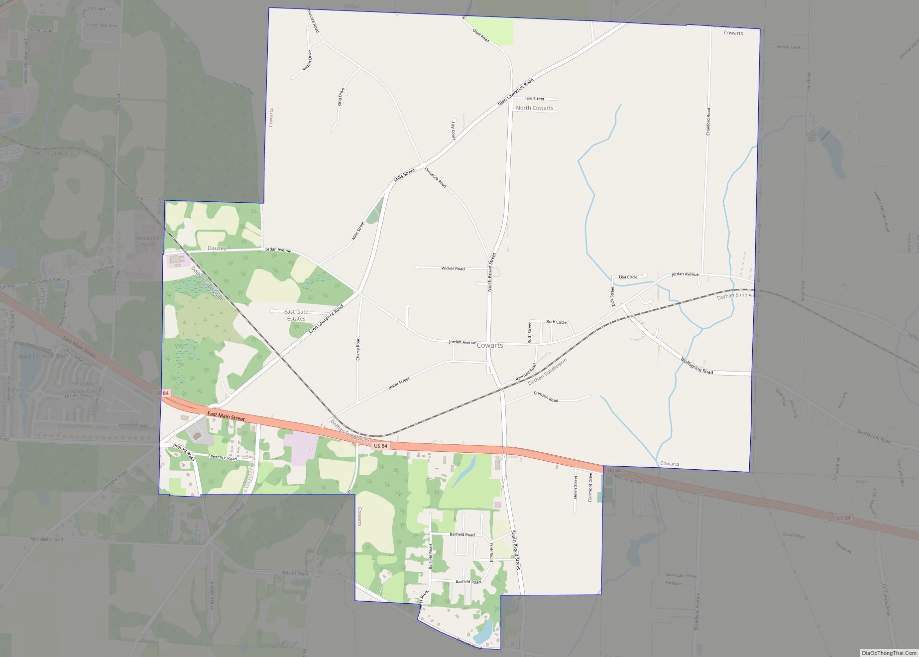
Cowarts /ˈkaʊ.ərts/ is a town in Houston County, Alabama, United States. The town incorporated in August 1961. It is part of the Dothan, Alabama Metropolitan Statistical Area. At the 2010 census the population was 1,871, up from 1,546 in 2000.
| Name: | Cowarts town |
|---|---|
| LSAD Code: | 43 |
| LSAD Description: | town (suffix) |
| State: | Alabama |
| County: | Houston County |
| Elevation: | 348 ft (106 m) |
| Total Area: | 7.72 sq mi (19.99 km²) |
| Land Area: | 7.65 sq mi (19.82 km²) |
| Water Area: | 0.06 sq mi (0.17 km²) |
| Total Population: | 1,930 |
| Population Density: | 252.16/sq mi (97.36/km²) |
| ZIP code: | 36321 |
| Area code: | 334 |
| FIPS code: | 0118088 |
| GNISfeature ID: | 0116756 |
Online Interactive Map
Click on ![]() to view map in "full screen" mode.
to view map in "full screen" mode.
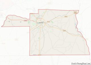
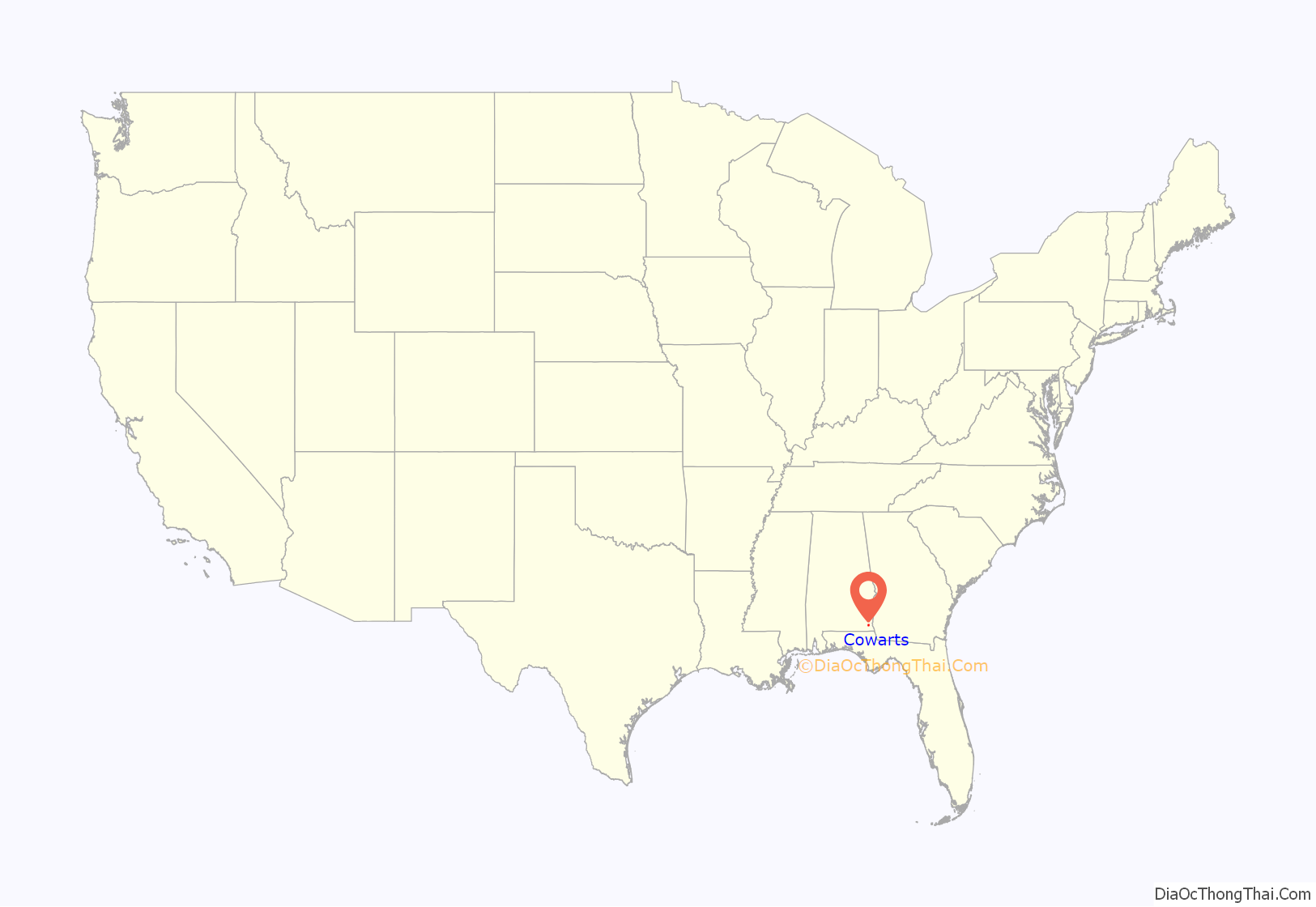
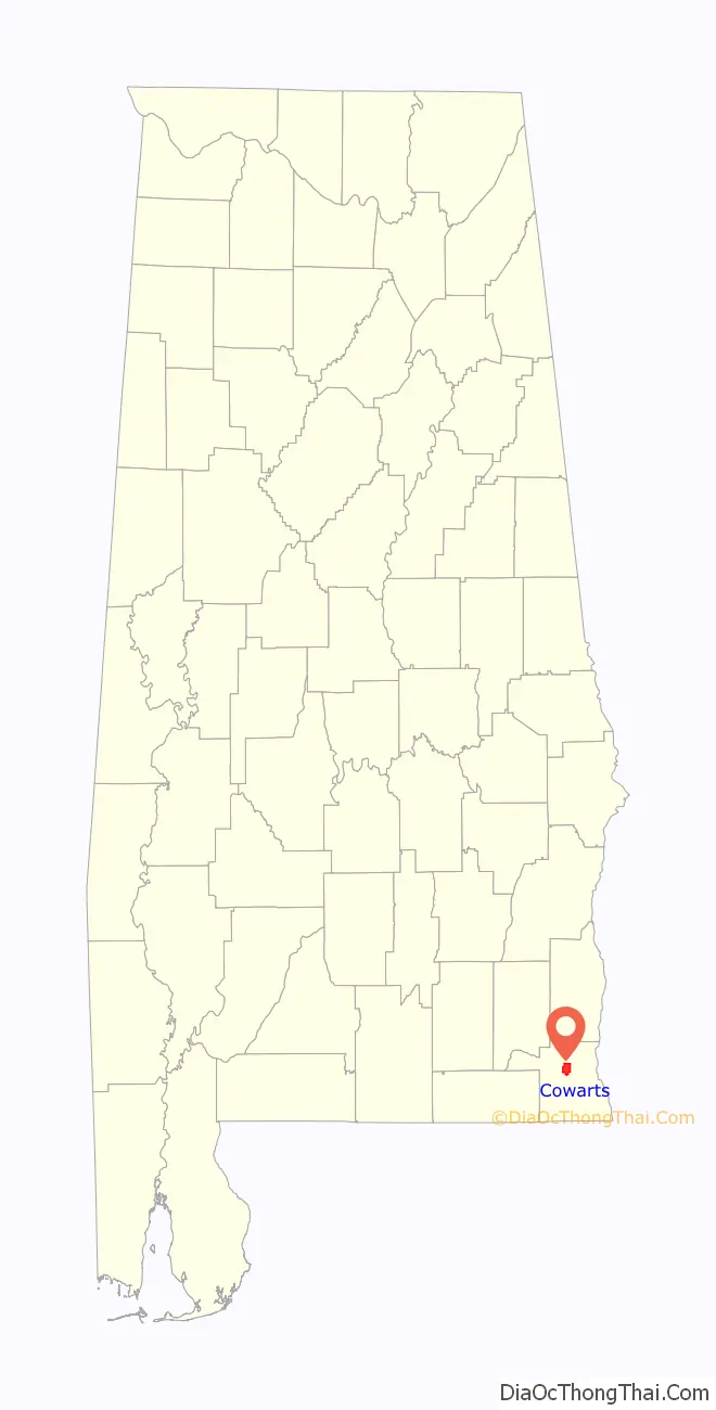
Cowarts location map. Where is Cowarts town?
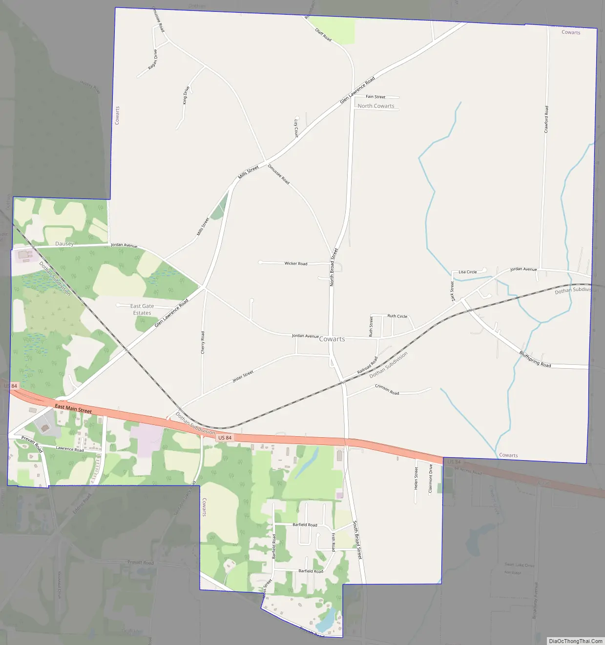
Cowarts Road Map
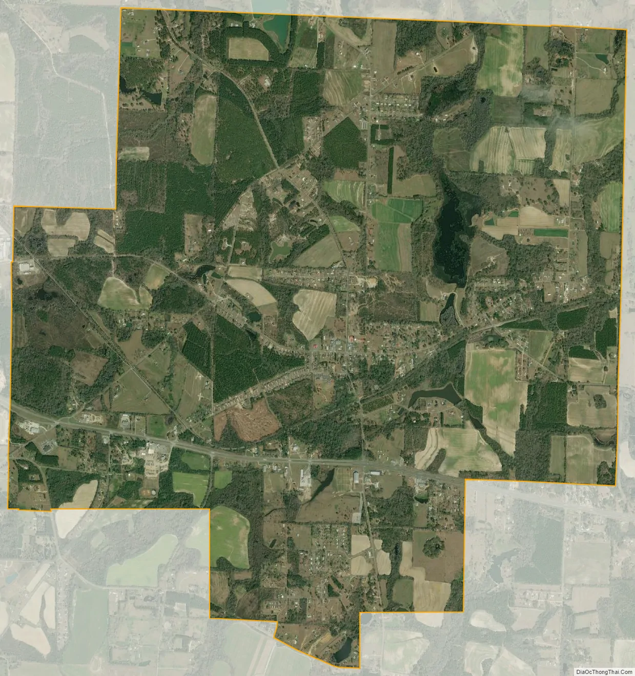
Cowarts city Satellite Map
Geography
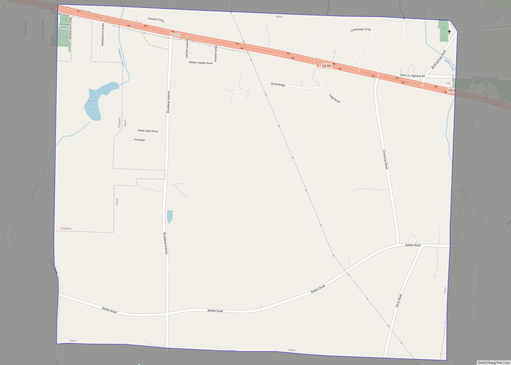
Cowarts is located in north-central Houston County at 31°11′58″N 85°18′23″W / 31.19944°N 85.30639°W / 31.19944; -85.30639 (31.199575, -85.306272). It is bordered to the north and west by the city of Dothan and to the southeast by the town of Avon. A small part of the northern border of Cowarts is with the town of Webb.
U.S. Route 84 passes through the southern part of the town, leading west 6 miles (10 km) to the center of Dothan and southeast 48 miles (77 km) to Bainbridge, Georgia.
According to the U.S. Census Bureau, Cowarts has a total area of 7.3 square miles (18.9 km), of which 7.3 square miles (18.8 km) are land and 0.04 square miles (0.1 km), or 0.58%, are water.
See also
Map of Alabama State and its subdivision:- Autauga
- Baldwin
- Barbour
- Bibb
- Blount
- Bullock
- Butler
- Calhoun
- Chambers
- Cherokee
- Chilton
- Choctaw
- Clarke
- Clay
- Cleburne
- Coffee
- Colbert
- Conecuh
- Coosa
- Covington
- Crenshaw
- Cullman
- Dale
- Dallas
- De Kalb
- Elmore
- Escambia
- Etowah
- Fayette
- Franklin
- Geneva
- Greene
- Hale
- Henry
- Houston
- Jackson
- Jefferson
- Lamar
- Lauderdale
- Lawrence
- Lee
- Limestone
- Lowndes
- Macon
- Madison
- Marengo
- Marion
- Marshall
- Mobile
- Monroe
- Montgomery
- Morgan
- Perry
- Pickens
- Pike
- Randolph
- Russell
- Saint Clair
- Shelby
- Sumter
- Talladega
- Tallapoosa
- Tuscaloosa
- Walker
- Washington
- Wilcox
- Winston
- Alabama
- Alaska
- Arizona
- Arkansas
- California
- Colorado
- Connecticut
- Delaware
- District of Columbia
- Florida
- Georgia
- Hawaii
- Idaho
- Illinois
- Indiana
- Iowa
- Kansas
- Kentucky
- Louisiana
- Maine
- Maryland
- Massachusetts
- Michigan
- Minnesota
- Mississippi
- Missouri
- Montana
- Nebraska
- Nevada
- New Hampshire
- New Jersey
- New Mexico
- New York
- North Carolina
- North Dakota
- Ohio
- Oklahoma
- Oregon
- Pennsylvania
- Rhode Island
- South Carolina
- South Dakota
- Tennessee
- Texas
- Utah
- Vermont
- Virginia
- Washington
- West Virginia
- Wisconsin
- Wyoming