Dayton is a town in Marengo County, Alabama, United States. The population was 28 at the 2020 census, down from 52 in 2010 and 60 in 2000.
| Name: | Dayton town |
|---|---|
| LSAD Code: | 43 |
| LSAD Description: | town (suffix) |
| State: | Alabama |
| County: | Marengo County |
| Elevation: | 243 ft (74 m) |
| Total Area: | 1.00 sq mi (2.59 km²) |
| Land Area: | 1.00 sq mi (2.59 km²) |
| Water Area: | 0.00 sq mi (0.00 km²) |
| Total Population: | 28 |
| Population Density: | 28.0/sq mi (10.83/km²) |
| ZIP code: | 36738 |
| Area code: | 334 |
| FIPS code: | 0119912 |
| GNISfeature ID: | 0117151 |
Online Interactive Map
Click on ![]() to view map in "full screen" mode.
to view map in "full screen" mode.
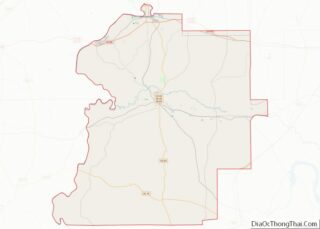
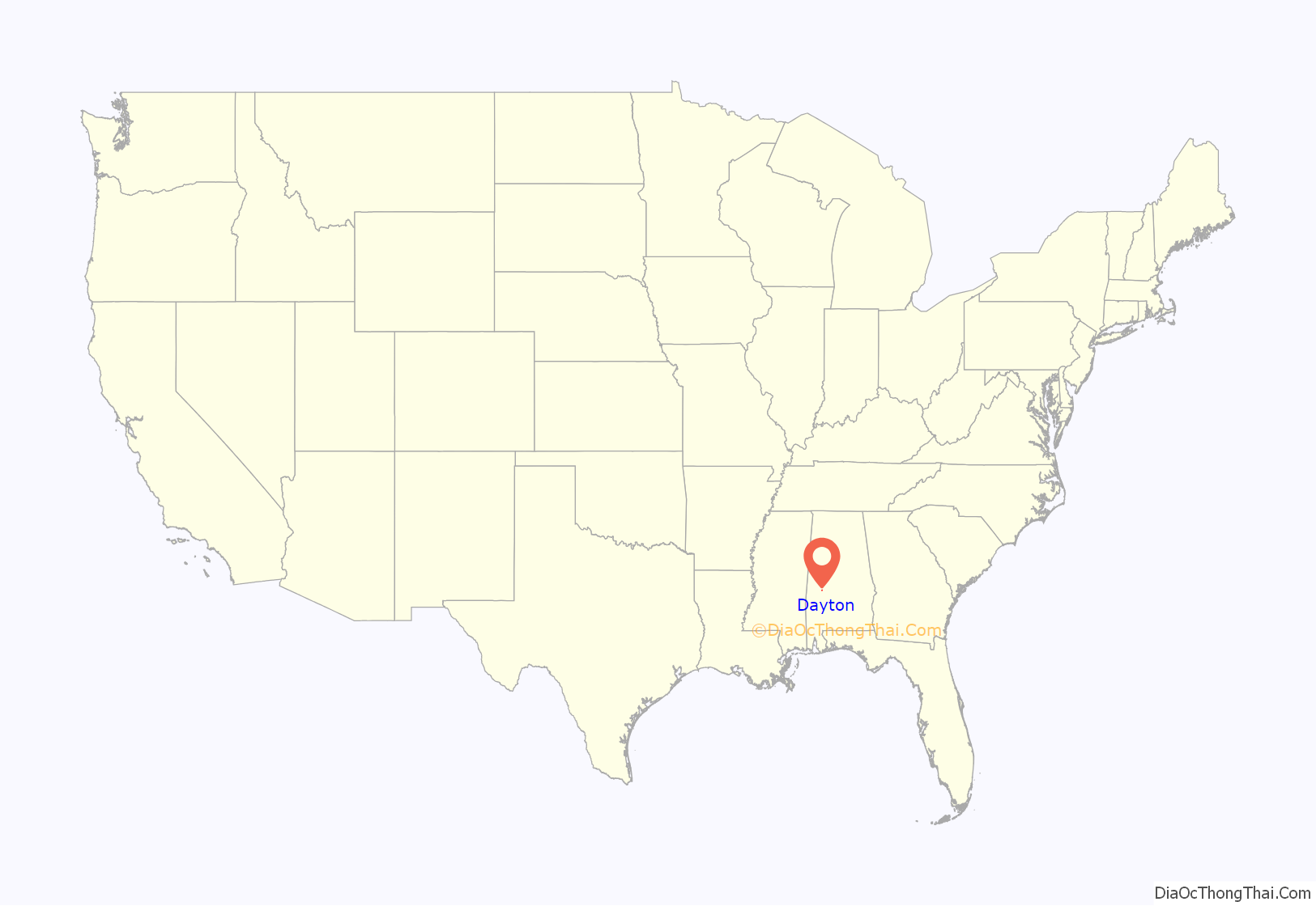
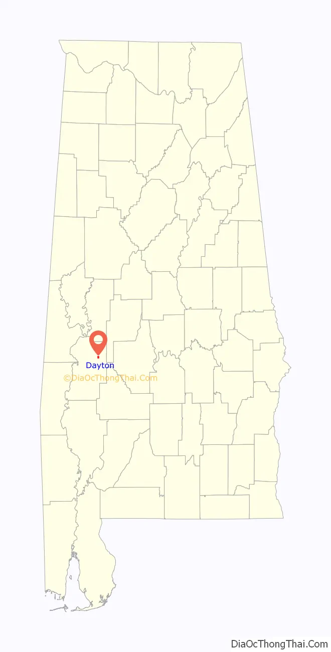
Dayton location map. Where is Dayton town?
History
Dayton began to be settled in the early 19th century, with a town survey done and a “public well” established in 1832. The post office was established in 1837. It was incorporated on January 13, 1844. A devastating tornado hit the town in 1852. By 1860 the town had male and female academies, a hotel, cotton gin, oil mill, blacksmith shop, tavern, cabinet shop, drug store, and several general merchandise stores. The town also had several large homes, though most are now gone. One of the survivors, the William Poole House, is listed on the National Register of Historic Places. The decrease in agricultural activity over the last century has reduced the population to a fraction of what it once was.
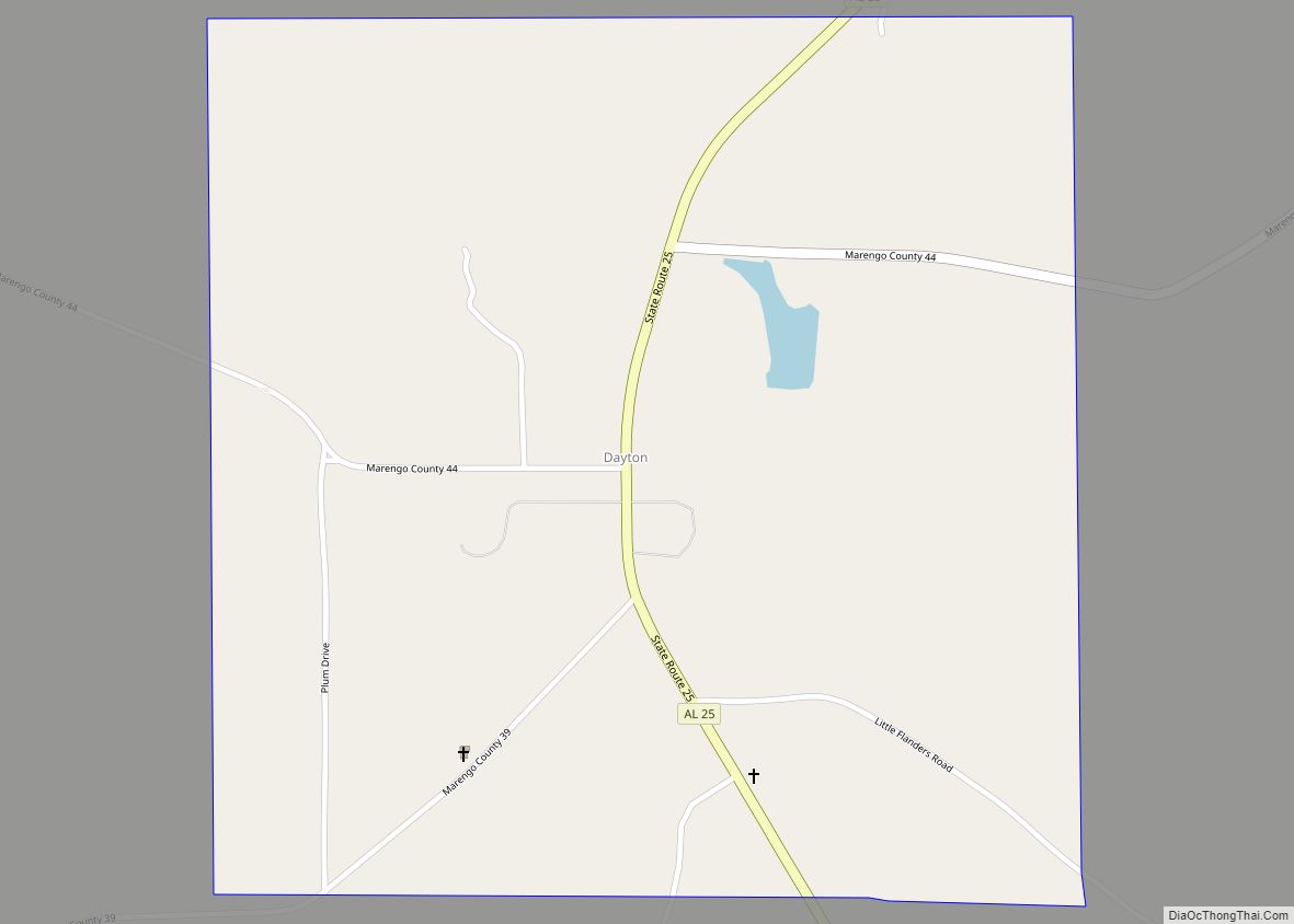
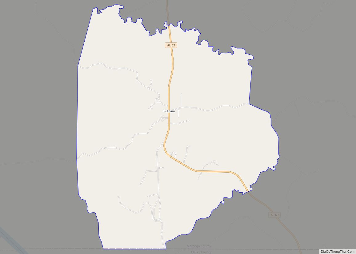
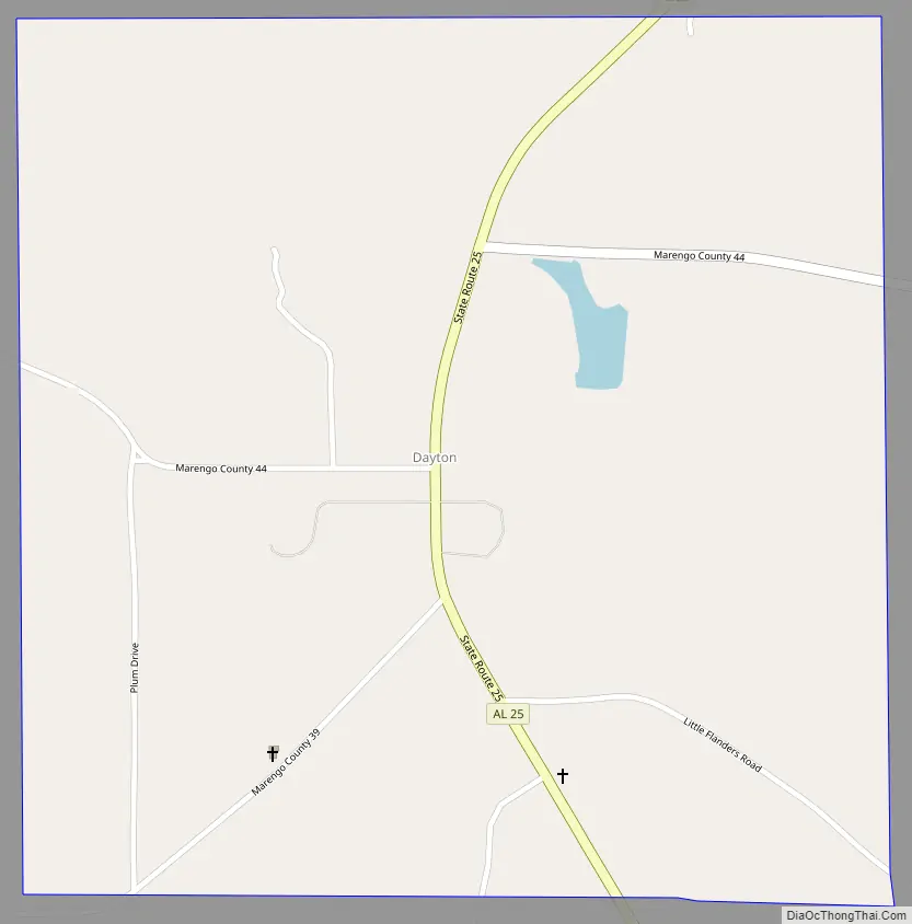
Dayton Road Map
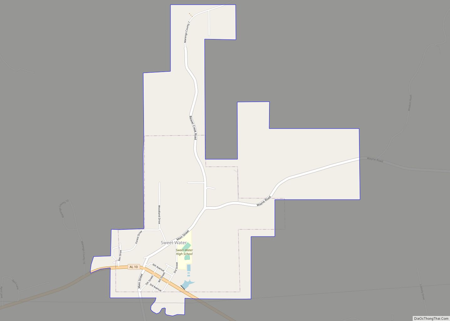
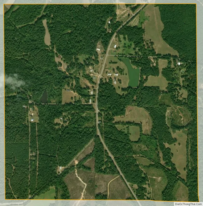
Dayton city Satellite Map
Geography
Dayton is located in northeastern Marengo County at 32°20′59″N 87°38′28″W / 32.34972°N 87.64111°W / 32.34972; -87.64111Coordinates: 32°20′59″N 87°38′28″W / 32.34972°N 87.64111°W / 32.34972; -87.64111 (32.349733, -87.641247). It is 11 miles (18 km) northeast of Linden, the county seat, and 20 miles (32 km) southeast of Demopolis, the largest city in the county.
According to the U.S. Census Bureau, Dayton has a total area of 1.0 square mile (2.6 km), all land. The town sits on a ridge that drains southeast to Dry Creek and northwest to Little Dry Creek, both tributaries of Chickasaw Bogue, which flows west across the county to the Tombigbee River.
See also
Map of Alabama State and its subdivision:- Autauga
- Baldwin
- Barbour
- Bibb
- Blount
- Bullock
- Butler
- Calhoun
- Chambers
- Cherokee
- Chilton
- Choctaw
- Clarke
- Clay
- Cleburne
- Coffee
- Colbert
- Conecuh
- Coosa
- Covington
- Crenshaw
- Cullman
- Dale
- Dallas
- De Kalb
- Elmore
- Escambia
- Etowah
- Fayette
- Franklin
- Geneva
- Greene
- Hale
- Henry
- Houston
- Jackson
- Jefferson
- Lamar
- Lauderdale
- Lawrence
- Lee
- Limestone
- Lowndes
- Macon
- Madison
- Marengo
- Marion
- Marshall
- Mobile
- Monroe
- Montgomery
- Morgan
- Perry
- Pickens
- Pike
- Randolph
- Russell
- Saint Clair
- Shelby
- Sumter
- Talladega
- Tallapoosa
- Tuscaloosa
- Walker
- Washington
- Wilcox
- Winston
- Alabama
- Alaska
- Arizona
- Arkansas
- California
- Colorado
- Connecticut
- Delaware
- District of Columbia
- Florida
- Georgia
- Hawaii
- Idaho
- Illinois
- Indiana
- Iowa
- Kansas
- Kentucky
- Louisiana
- Maine
- Maryland
- Massachusetts
- Michigan
- Minnesota
- Mississippi
- Missouri
- Montana
- Nebraska
- Nevada
- New Hampshire
- New Jersey
- New Mexico
- New York
- North Carolina
- North Dakota
- Ohio
- Oklahoma
- Oregon
- Pennsylvania
- Rhode Island
- South Carolina
- South Dakota
- Tennessee
- Texas
- Utah
- Vermont
- Virginia
- Washington
- West Virginia
- Wisconsin
- Wyoming