Putnam is an unincorporated community and census-designated place (CDP) in Marengo County, Alabama, United States. As of the 2020 census, its population was 172.
| Name: | Putnam CDP |
|---|---|
| LSAD Code: | 57 |
| LSAD Description: | CDP (suffix) |
| State: | Alabama |
| County: | Marengo County |
| Elevation: | 226 ft (69 m) |
| Total Area: | 9.48 sq mi (24.6 km²) |
| Land Area: | 9.48 sq mi (24.6 km²) |
| Water Area: | 0.00 sq mi (0.0 km²) |
| Total Population: | 172 |
| Population Density: | 18.13/sq mi (7.00/km²) |
| Area code: | 334 |
| FIPS code: | 0162952 |
Online Interactive Map
Click on ![]() to view map in "full screen" mode.
to view map in "full screen" mode.
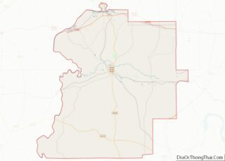
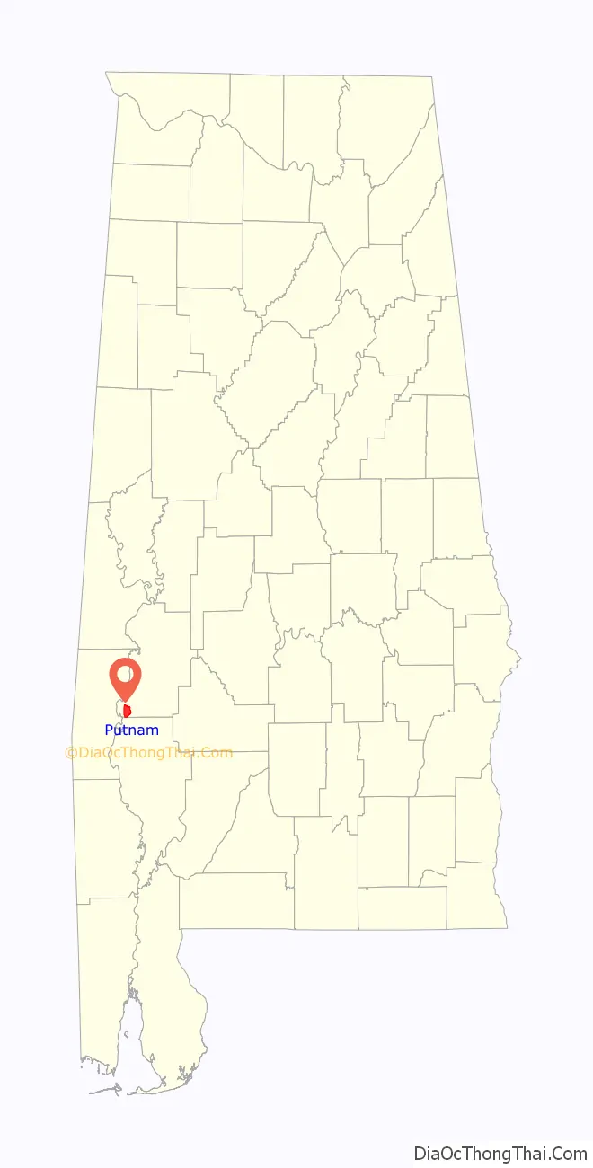
Putnam location map. Where is Putnam CDP?

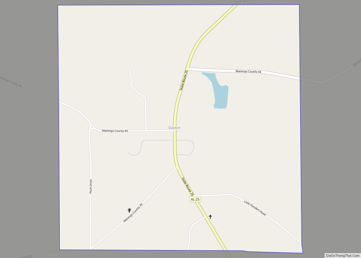
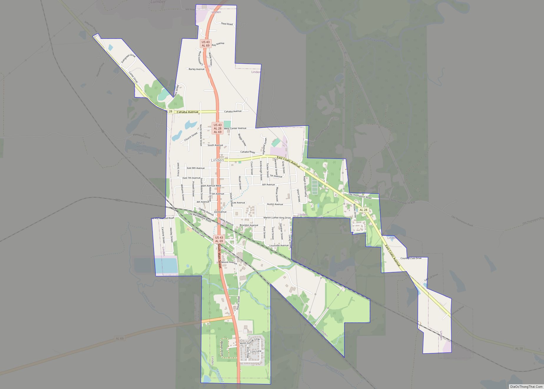
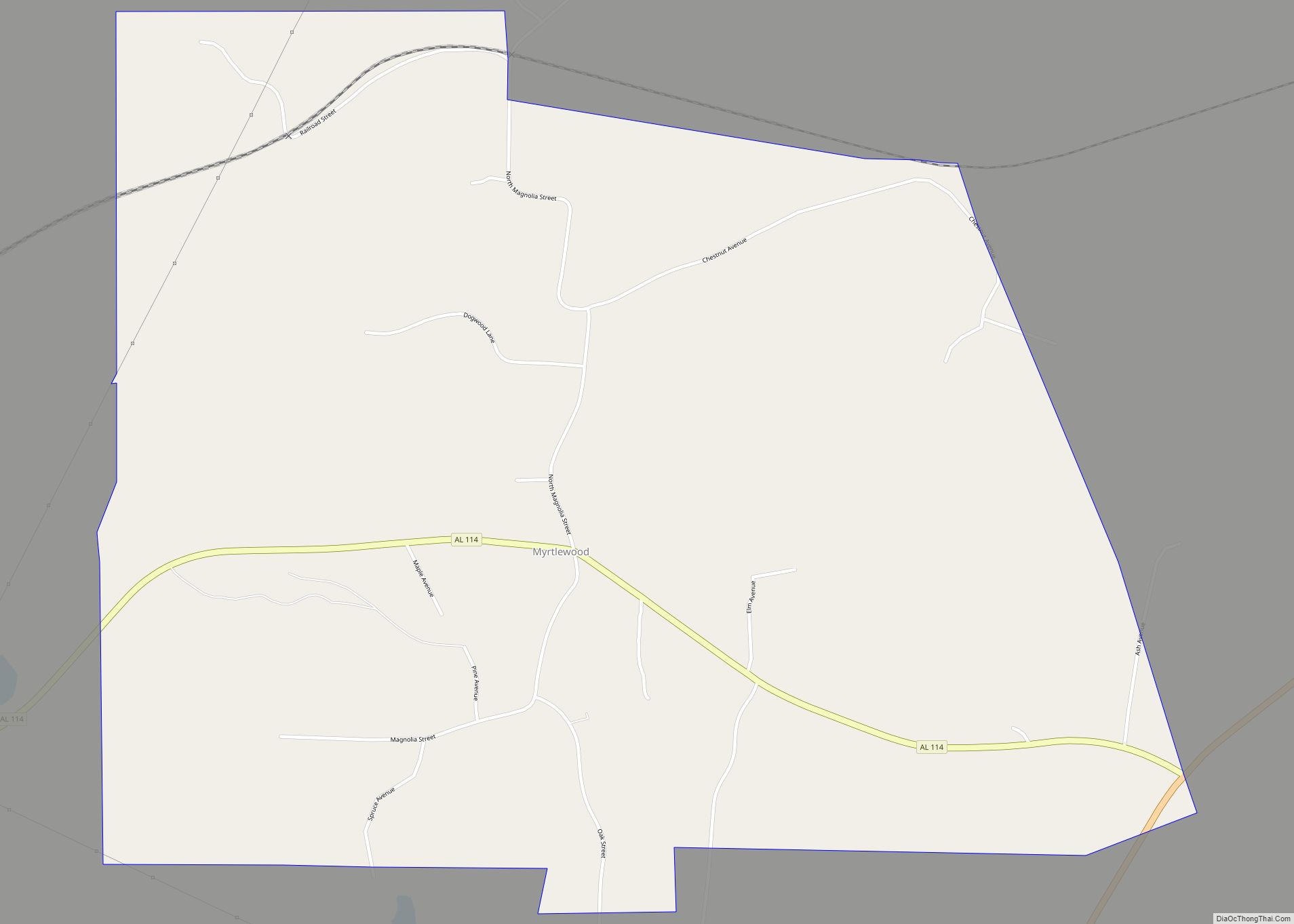
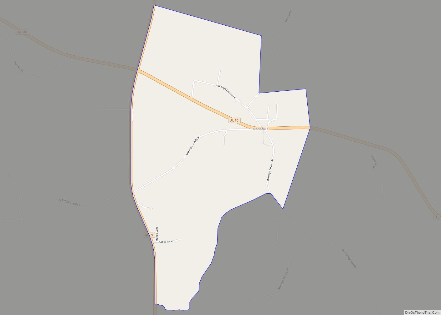
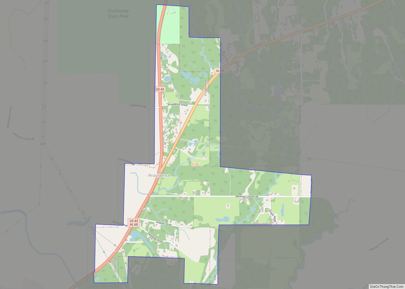
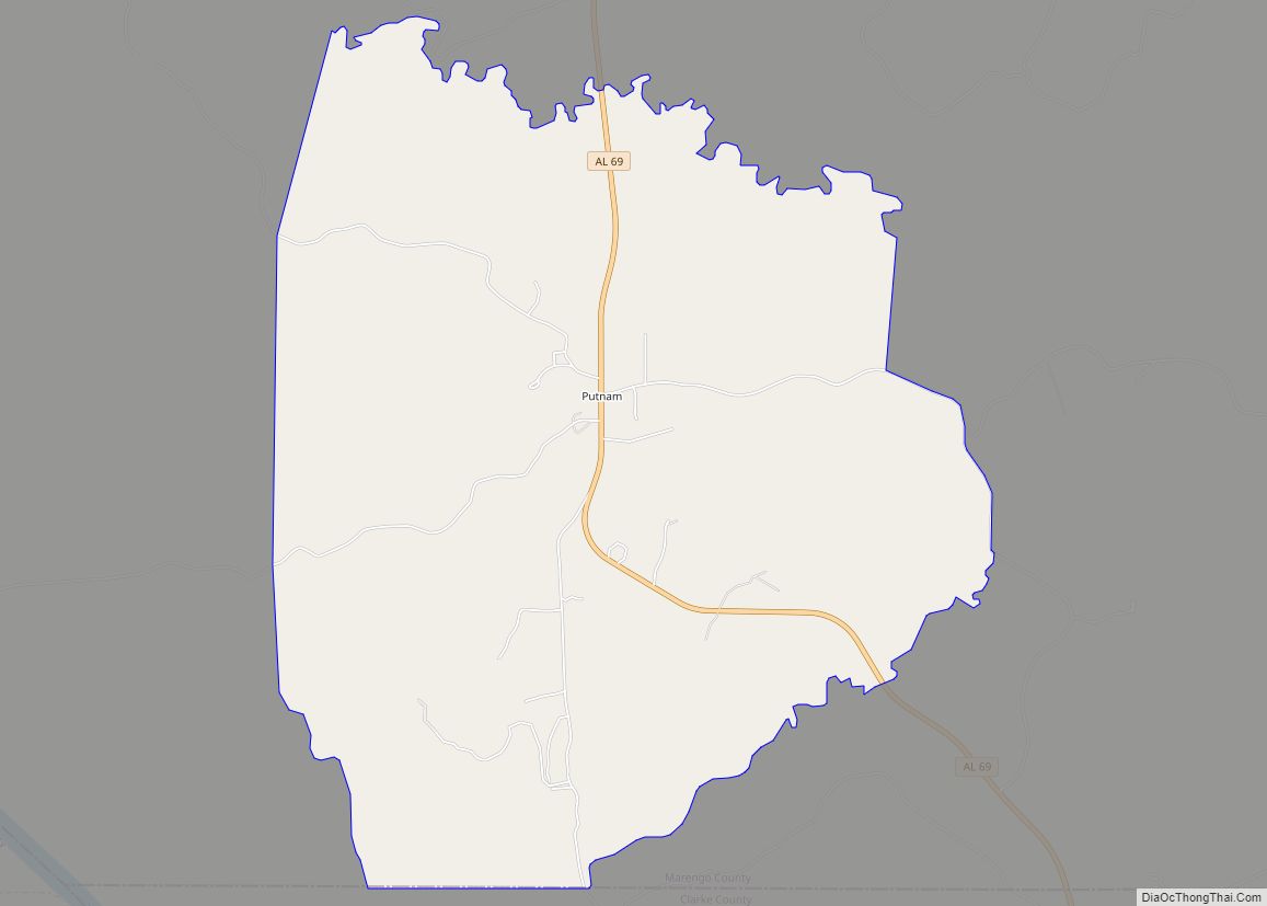
Putnam Road Map
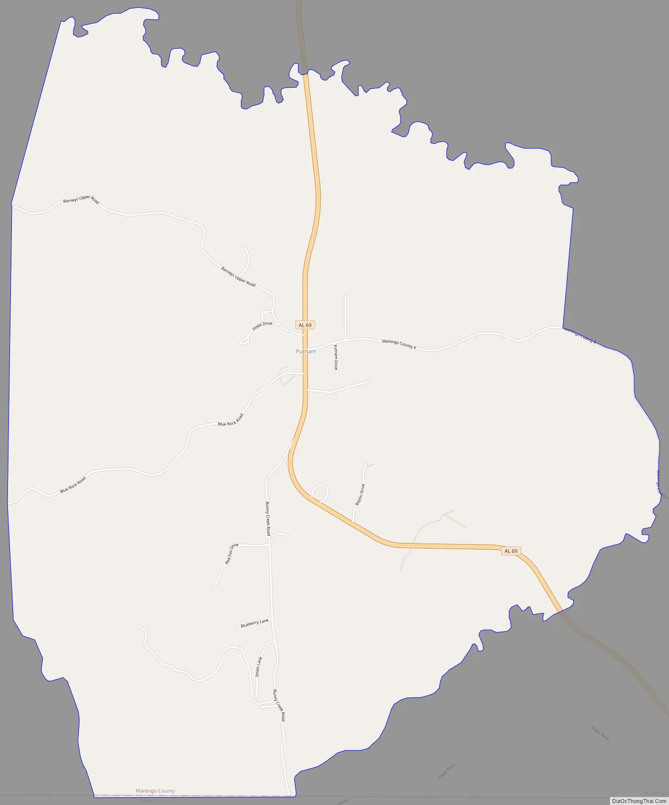
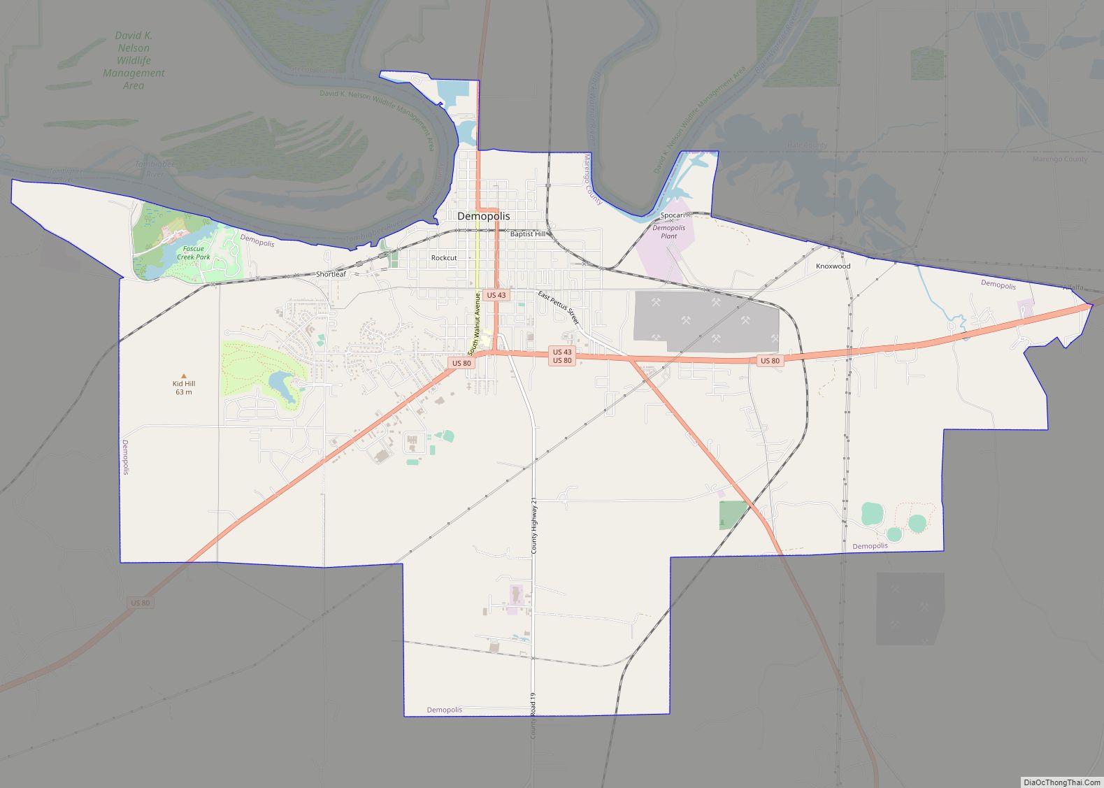
Putnam city Satellite Map

Geography
Putnam is located at 32°01′23″N 88°01′52″W / 32.023°N 88.031°W / 32.023; -88.031Coordinates: 32°01′23″N 88°01′52″W / 32.023°N 88.031°W / 32.023; -88.031 and has an elevation of 226 feet (69 m). The community is in the southwest corner of Marengo County, along Alabama State Route 69. It is 28 miles (45 km) southwest of Linden, the county seat, and 24 miles (39 km) north of Coffeeville.
According to the U.S. Census Bureau, the Putnam CDP has an area of 9.5 square miles (25 km), all of it recorded as land. It is bordered to the north by Horse Creek and to the south by Big Bunny Creek, west-flowing tributaries of the Tombigbee River.
See also
Map of Alabama State and its subdivision:- Autauga
- Baldwin
- Barbour
- Bibb
- Blount
- Bullock
- Butler
- Calhoun
- Chambers
- Cherokee
- Chilton
- Choctaw
- Clarke
- Clay
- Cleburne
- Coffee
- Colbert
- Conecuh
- Coosa
- Covington
- Crenshaw
- Cullman
- Dale
- Dallas
- De Kalb
- Elmore
- Escambia
- Etowah
- Fayette
- Franklin
- Geneva
- Greene
- Hale
- Henry
- Houston
- Jackson
- Jefferson
- Lamar
- Lauderdale
- Lawrence
- Lee
- Limestone
- Lowndes
- Macon
- Madison
- Marengo
- Marion
- Marshall
- Mobile
- Monroe
- Montgomery
- Morgan
- Perry
- Pickens
- Pike
- Randolph
- Russell
- Saint Clair
- Shelby
- Sumter
- Talladega
- Tallapoosa
- Tuscaloosa
- Walker
- Washington
- Wilcox
- Winston
- Alabama
- Alaska
- Arizona
- Arkansas
- California
- Colorado
- Connecticut
- Delaware
- District of Columbia
- Florida
- Georgia
- Hawaii
- Idaho
- Illinois
- Indiana
- Iowa
- Kansas
- Kentucky
- Louisiana
- Maine
- Maryland
- Massachusetts
- Michigan
- Minnesota
- Mississippi
- Missouri
- Montana
- Nebraska
- Nevada
- New Hampshire
- New Jersey
- New Mexico
- New York
- North Carolina
- North Dakota
- Ohio
- Oklahoma
- Oregon
- Pennsylvania
- Rhode Island
- South Carolina
- South Dakota
- Tennessee
- Texas
- Utah
- Vermont
- Virginia
- Washington
- West Virginia
- Wisconsin
- Wyoming