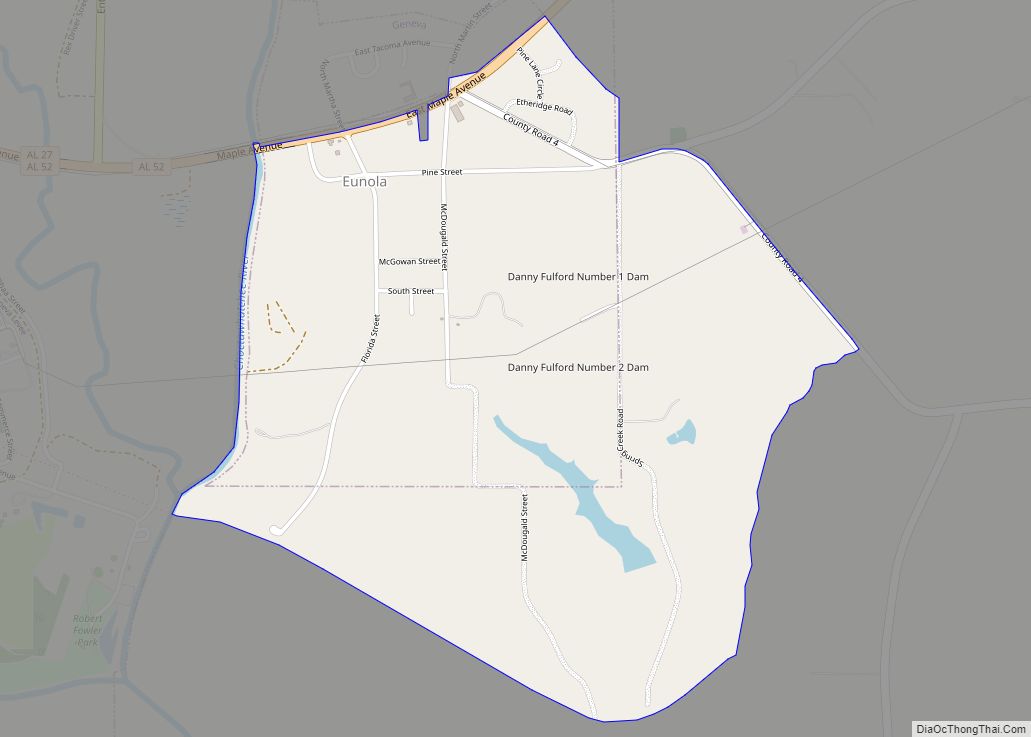
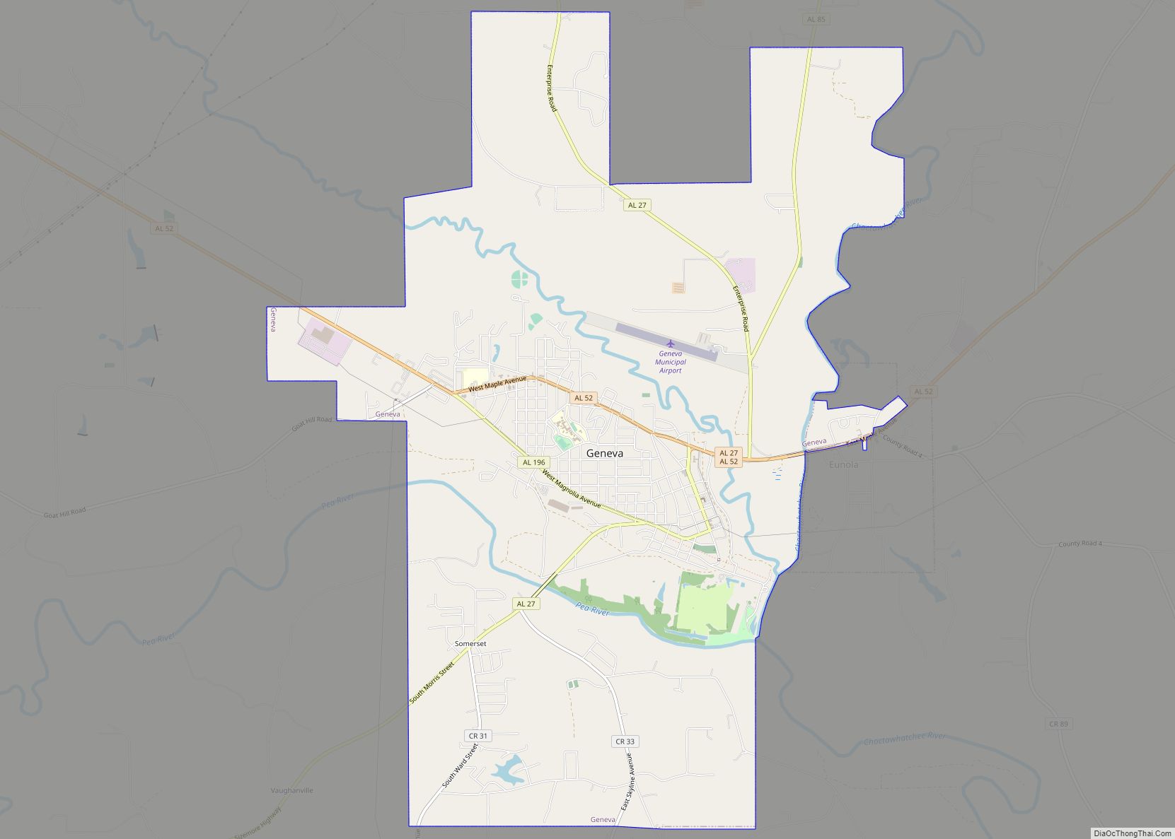
Eunola is a census-designated place and former town in Geneva County, Alabama, United States. It is part of the Dothan, Alabama Metropolitan Statistical Area. At the 2020 census, the population was 284. The town was disincorporated in 2007.
| Name: | Eunola CDP |
|---|---|
| LSAD Code: | 57 |
| LSAD Description: | CDP (suffix) |
| State: | Alabama |
| County: | Geneva County |
| Elevation: | 138 ft (42 m) |
| Total Area: | 1.84 sq mi (4.77 km²) |
| Land Area: | 1.83 sq mi (4.73 km²) |
| Water Area: | 0.01 sq mi (0.04 km²) |
| Total Population: | 284 |
| Population Density: | 155.53/sq mi (60.06/km²) |
| ZIP code: | 36340 |
| Area code: | 334 |
| FIPS code: | 0124616 |
| GNISfeature ID: | 0118055 |
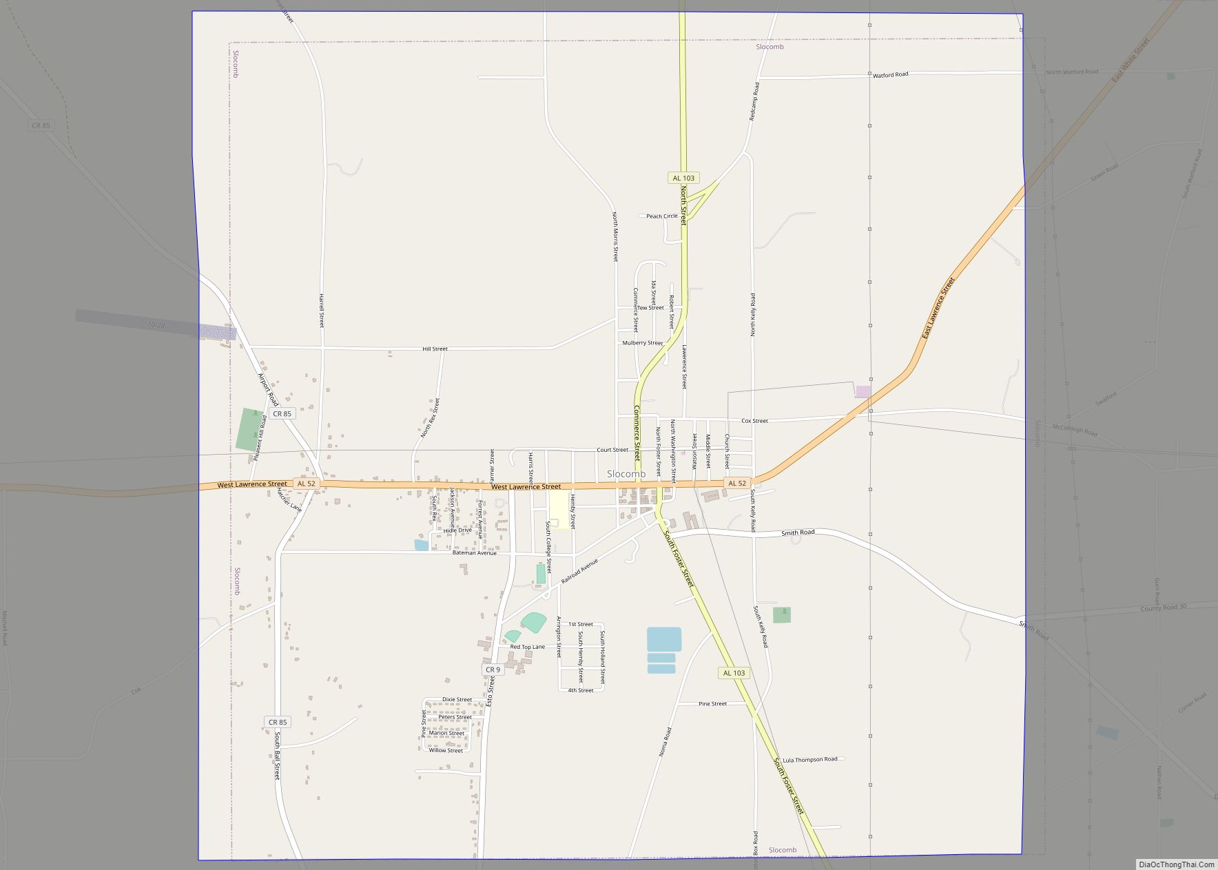
Online Interactive Map
Click on ![]() to view map in "full screen" mode.
to view map in "full screen" mode.
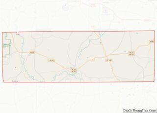
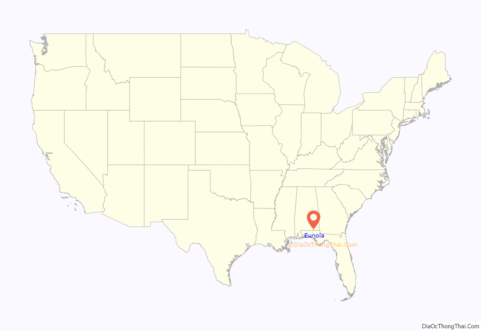
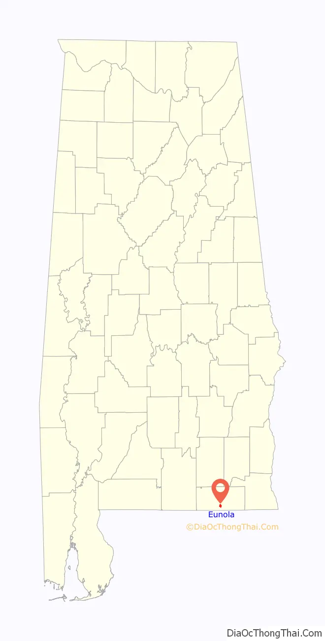
Eunola location map. Where is Eunola CDP?
History
Eunola was initially listed on the 1900 U.S. Census as an incorporated community. It did not appear again on the census rolls until 1940. It was disincorporated by judicial order in 2007 due to its not having held elections in a half-century and that it lacked a minimum of 300 residents required to reincorporate under Alabama state law. It was reclassified as a census-designated place in 2010.
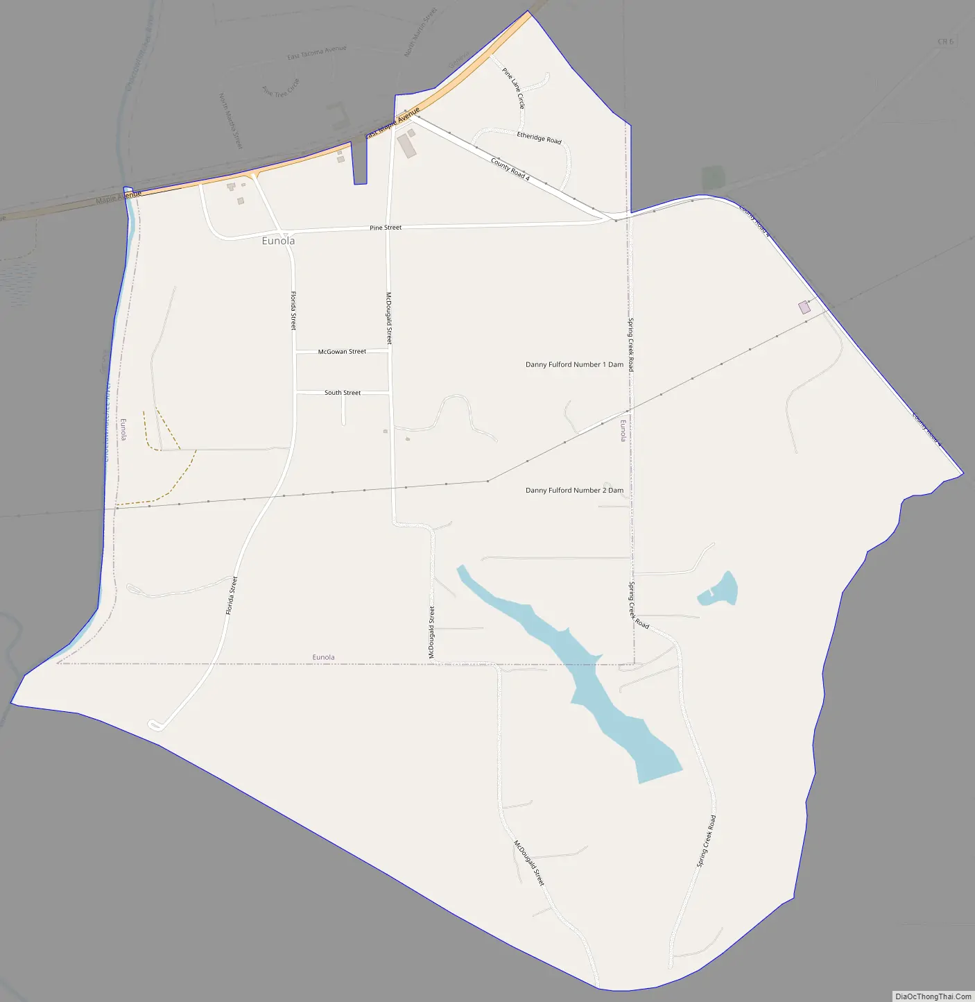
Eunola Road Map
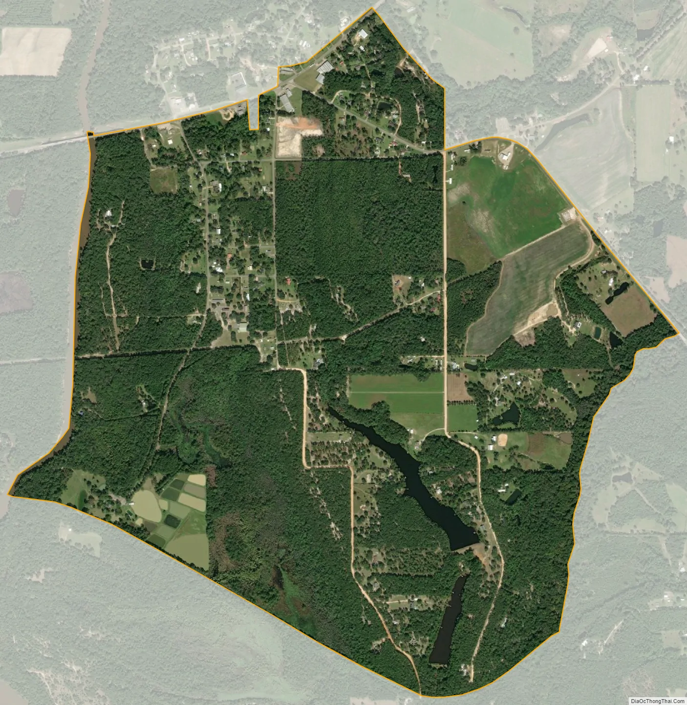
Eunola city Satellite Map
Geography
Eunola is located at 31°2′20″N 85°50′43″W / 31.03889°N 85.84528°W / 31.03889; -85.84528 (31.038766, -85.845415).
According to the U.S. Census Bureau, the town has a total area of 1.8 square miles (4.7 km), of which 1.8 square miles (4.7 km) is land and 0.01 square miles (0.026 km) (0.76%) is water.
See also
Map of Alabama State and its subdivision:- Autauga
- Baldwin
- Barbour
- Bibb
- Blount
- Bullock
- Butler
- Calhoun
- Chambers
- Cherokee
- Chilton
- Choctaw
- Clarke
- Clay
- Cleburne
- Coffee
- Colbert
- Conecuh
- Coosa
- Covington
- Crenshaw
- Cullman
- Dale
- Dallas
- De Kalb
- Elmore
- Escambia
- Etowah
- Fayette
- Franklin
- Geneva
- Greene
- Hale
- Henry
- Houston
- Jackson
- Jefferson
- Lamar
- Lauderdale
- Lawrence
- Lee
- Limestone
- Lowndes
- Macon
- Madison
- Marengo
- Marion
- Marshall
- Mobile
- Monroe
- Montgomery
- Morgan
- Perry
- Pickens
- Pike
- Randolph
- Russell
- Saint Clair
- Shelby
- Sumter
- Talladega
- Tallapoosa
- Tuscaloosa
- Walker
- Washington
- Wilcox
- Winston
- Alabama
- Alaska
- Arizona
- Arkansas
- California
- Colorado
- Connecticut
- Delaware
- District of Columbia
- Florida
- Georgia
- Hawaii
- Idaho
- Illinois
- Indiana
- Iowa
- Kansas
- Kentucky
- Louisiana
- Maine
- Maryland
- Massachusetts
- Michigan
- Minnesota
- Mississippi
- Missouri
- Montana
- Nebraska
- Nevada
- New Hampshire
- New Jersey
- New Mexico
- New York
- North Carolina
- North Dakota
- Ohio
- Oklahoma
- Oregon
- Pennsylvania
- Rhode Island
- South Carolina
- South Dakota
- Tennessee
- Texas
- Utah
- Vermont
- Virginia
- Washington
- West Virginia
- Wisconsin
- Wyoming