Flomaton is a town in Escambia County, Alabama, United States. At the 2010 census the town’s population was 1,440. It is located next to the Alabama / Florida state line.
| Name: | Flomaton town |
|---|---|
| LSAD Code: | 43 |
| LSAD Description: | town (suffix) |
| State: | Alabama |
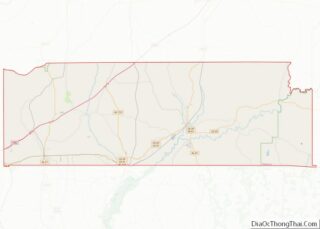
| County: | Escambia County |
| Elevation: | 62 ft (19 m) |
| Total Area: | 5.20 sq mi (13.46 km²) |
| Land Area: | 5.08 sq mi (13.17 km²) |
| Water Area: | 0.11 sq mi (0.29 km²) |
| Total Population: | 1,466 |
| Population Density: | 288.30/sq mi (111.31/km²) |
| ZIP code: | 36441 |
| Area code: | 251 |
| FIPS code: | 0126824 |
| GNISfeature ID: | 0157953 |
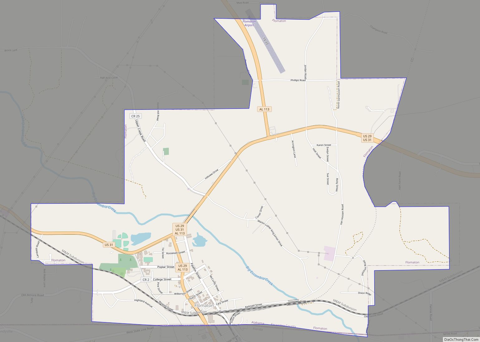
Online Interactive Map
Click on ![]() to view map in "full screen" mode.
to view map in "full screen" mode.
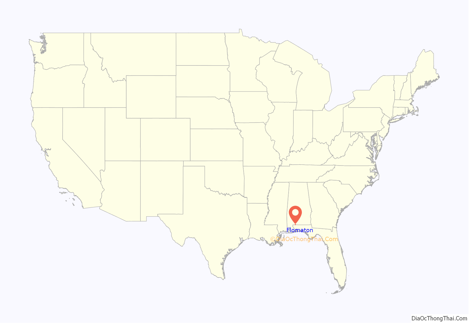
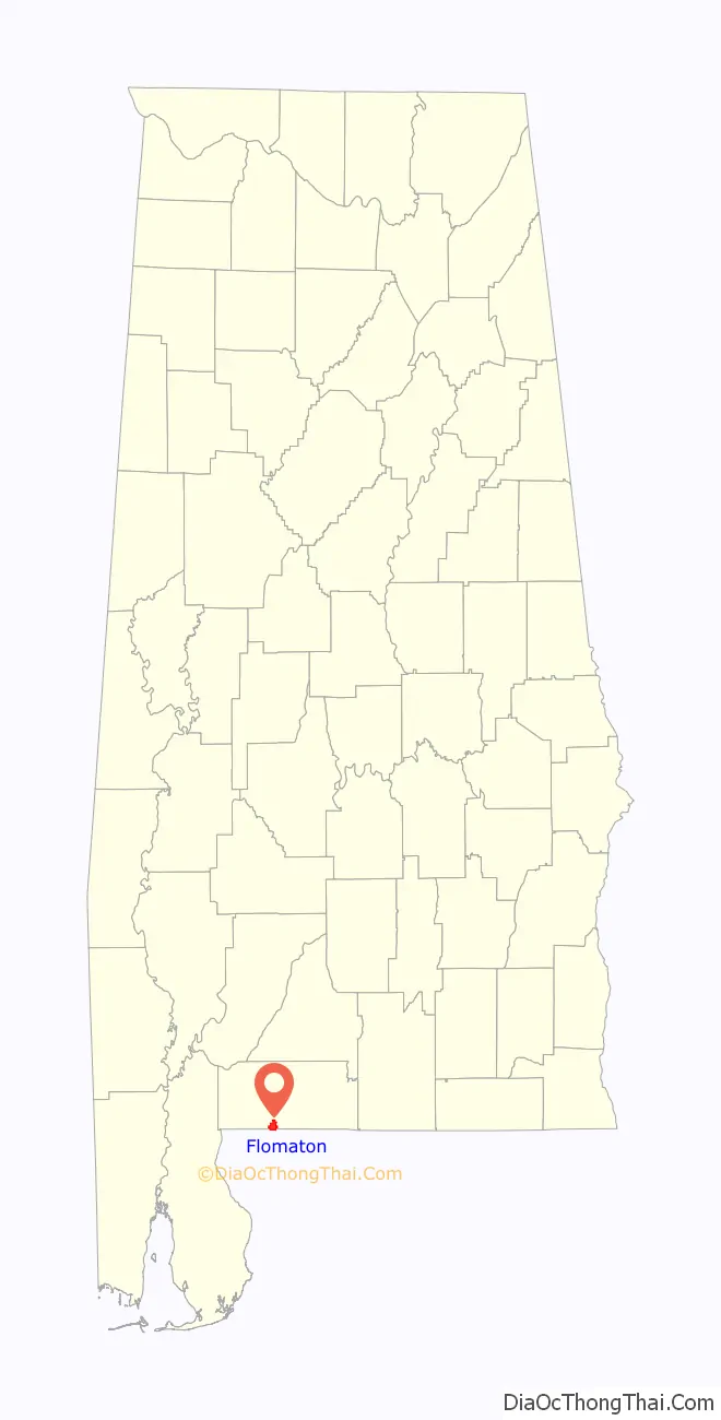
Flomaton location map. Where is Flomaton town?
History
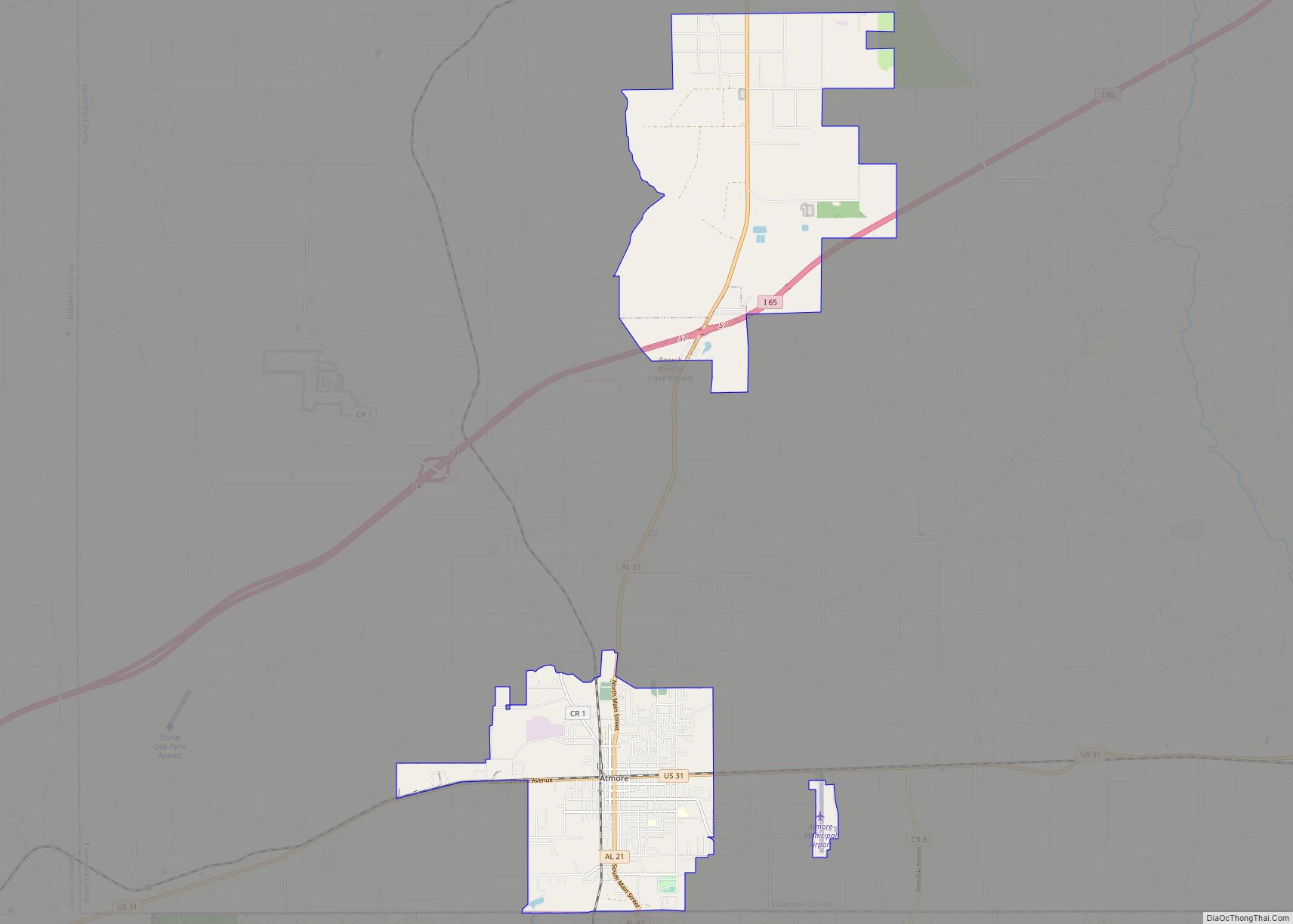
Flomaton was incorporated as a town in 1908, having been settled on a railway junction in 1869. The site was a junction of different lines of the Louisville & Nashville Railroad. Into the 1960s the L&N ran trains south to the beach resort city of Pensacola, Florida. The L&N main line was a conduit for trains to New York City, Cincinnati, Atlanta and New Orleans. The name “Flomaton” was chosen as a combination of “Florida”, “Alabama” and “town”, reflecting the town’s location on the border between the two states. In the early twentieth century, the town’s economy was driven by the timber industry and the town’s location at an important railway junction.
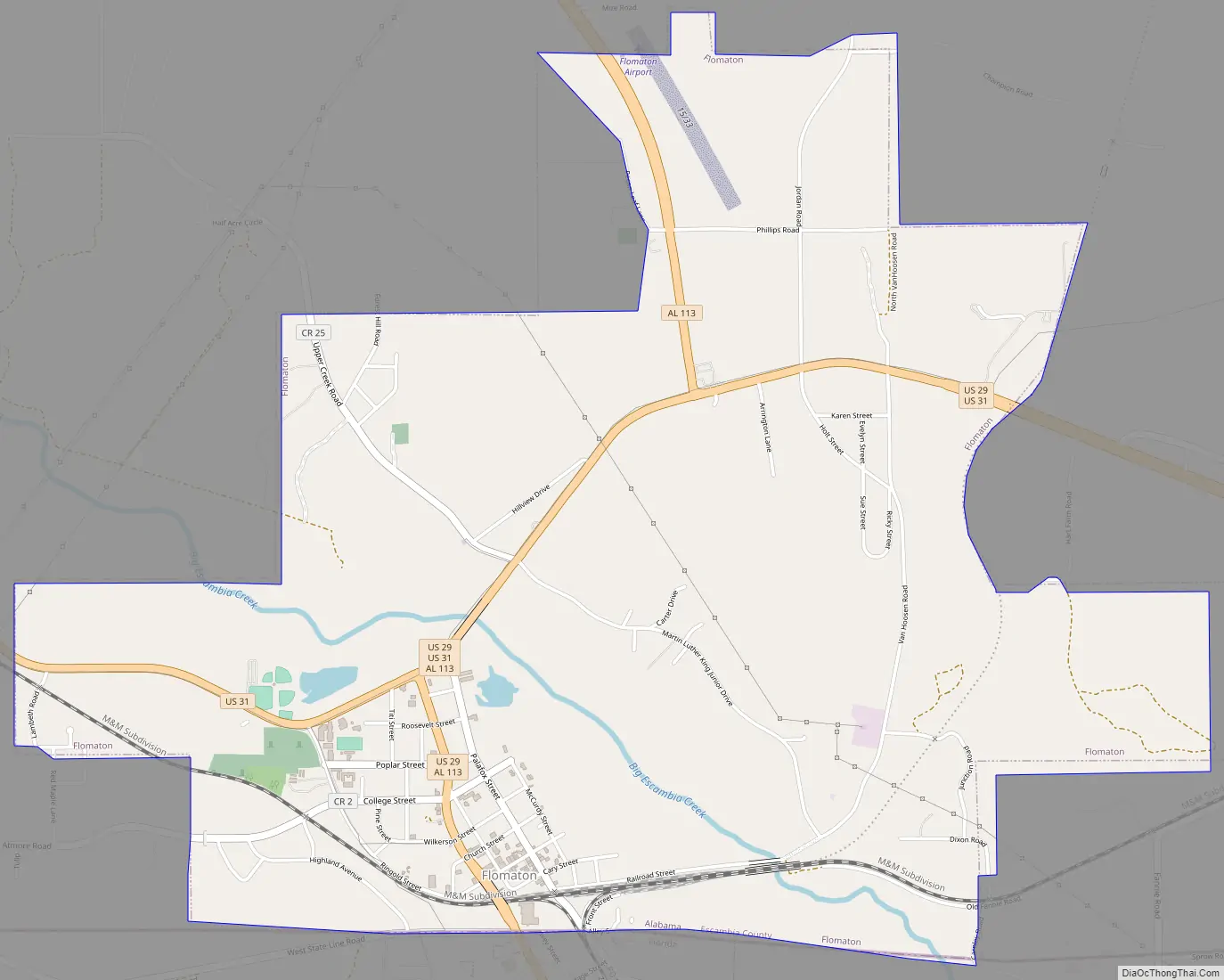
Flomaton Road Map
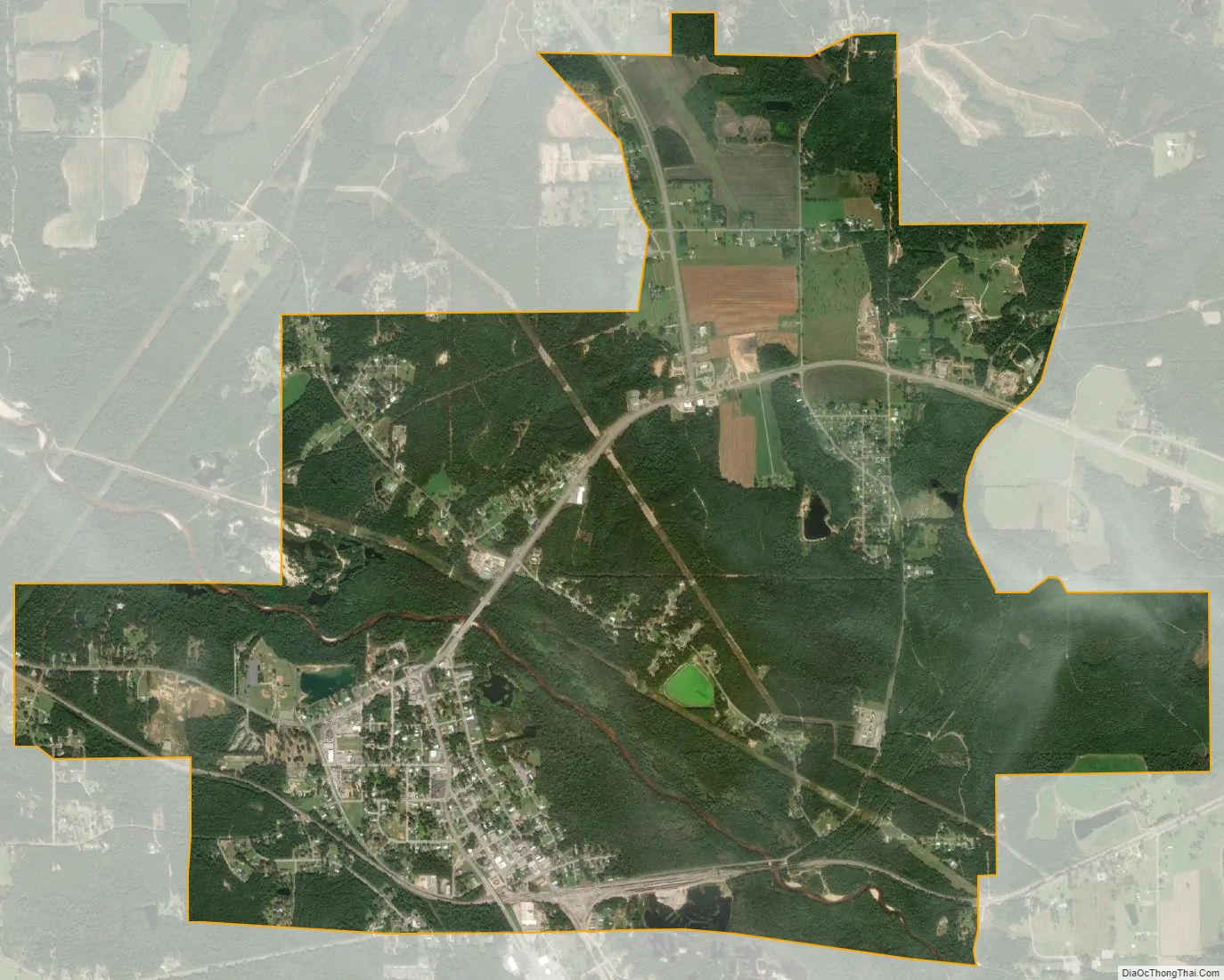
Flomaton city Satellite Map
Geography
Flomaton is located at 31°0′32″N 87°15′21″W / 31.00889°N 87.25583°W / 31.00889; -87.25583 (31.008921, -87.255746). It sits on the northern side of the border between Alabama and Florida. On the southern side of the border lies the town of Century in Florida’s Escambia County.
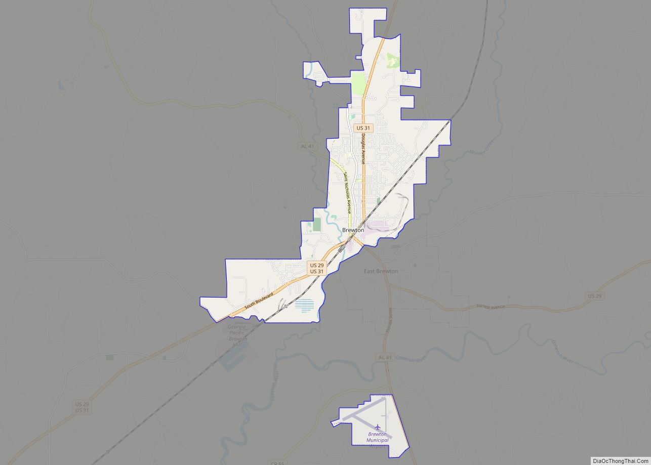
U.S. Route 29 and U.S. Route 31 join at the town. The former, starting 45 miles (72 km) to the south in Pensacola, Florida, enters the town over the state border; the latter enters the town from the west, having originated near Mobile. The two highways continue together for about 13 miles (21 km) in a north-easterly direction, before separating at Brewton.
The town also serves as a railway junction. The town joins CSX Transportation’s Montgomery–Mobile line with its line south to Pensacola and Florida’s Gulf Coast.
According to the U.S. Census Bureau, the town has a total area of 5.3 square miles (14 km), all land.
See also
Map of Alabama State and its subdivision:- Autauga
- Baldwin
- Barbour
- Bibb
- Blount
- Bullock
- Butler
- Calhoun
- Chambers
- Cherokee
- Chilton
- Choctaw
- Clarke
- Clay
- Cleburne
- Coffee
- Colbert
- Conecuh
- Coosa
- Covington
- Crenshaw
- Cullman
- Dale
- Dallas
- De Kalb
- Elmore
- Escambia
- Etowah
- Fayette
- Franklin
- Geneva
- Greene
- Hale
- Henry
- Houston
- Jackson
- Jefferson
- Lamar
- Lauderdale
- Lawrence
- Lee
- Limestone
- Lowndes
- Macon
- Madison
- Marengo
- Marion
- Marshall
- Mobile
- Monroe
- Montgomery
- Morgan
- Perry
- Pickens
- Pike
- Randolph
- Russell
- Saint Clair
- Shelby
- Sumter
- Talladega
- Tallapoosa
- Tuscaloosa
- Walker
- Washington
- Wilcox
- Winston
- Alabama
- Alaska
- Arizona
- Arkansas
- California
- Colorado
- Connecticut
- Delaware
- District of Columbia
- Florida
- Georgia
- Hawaii
- Idaho
- Illinois
- Indiana
- Iowa
- Kansas
- Kentucky
- Louisiana
- Maine
- Maryland
- Massachusetts
- Michigan
- Minnesota
- Mississippi
- Missouri
- Montana
- Nebraska
- Nevada
- New Hampshire
- New Jersey
- New Mexico
- New York
- North Carolina
- North Dakota
- Ohio
- Oklahoma
- Oregon
- Pennsylvania
- Rhode Island
- South Carolina
- South Dakota
- Tennessee
- Texas
- Utah
- Vermont
- Virginia
- Washington
- West Virginia
- Wisconsin
- Wyoming