Goldville is a town in Tallapoosa County, Alabama, United States. The population was 55 at the 2010 census, up from 37 in 2000.
| Name: | Goldville town |
|---|---|
| LSAD Code: | 43 |
| LSAD Description: | town (suffix) |
| State: | Alabama |
| County: | Tallapoosa County |
| Elevation: | 1,014 ft (309 m) |
| Total Area: | 1.00 sq mi (2.59 km²) |
| Land Area: | 0.99 sq mi (2.55 km²) |
| Water Area: | 0.01 sq mi (0.04 km²) |
| Total Population: | 52 |
| Population Density: | 52.74/sq mi (20.37/km²) |
| FIPS code: | 0130448 |
| GNISfeature ID: | 0156414 |
Online Interactive Map
Click on ![]() to view map in "full screen" mode.
to view map in "full screen" mode.
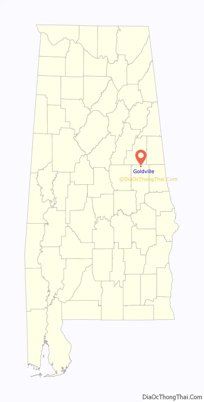
Goldville location map. Where is Goldville town?
History
The name of the area derives from the discovery of large gold deposits in the area. The area was so popular with prospectors that at one time the temporary post office of Goldville handled more mail in a day than New York City.
The historical monument in the town reads: “GOLDVILLE / Goldville, Alabama / incorporated on January 25, 1843 / was at one time / one of the / largest cities in Alabama / with a population of / near 5,000 / With the coming of / the California gold rush / in 1849 / the city became / a dormant municipality / later to be / reinstated on July 9, 1973”
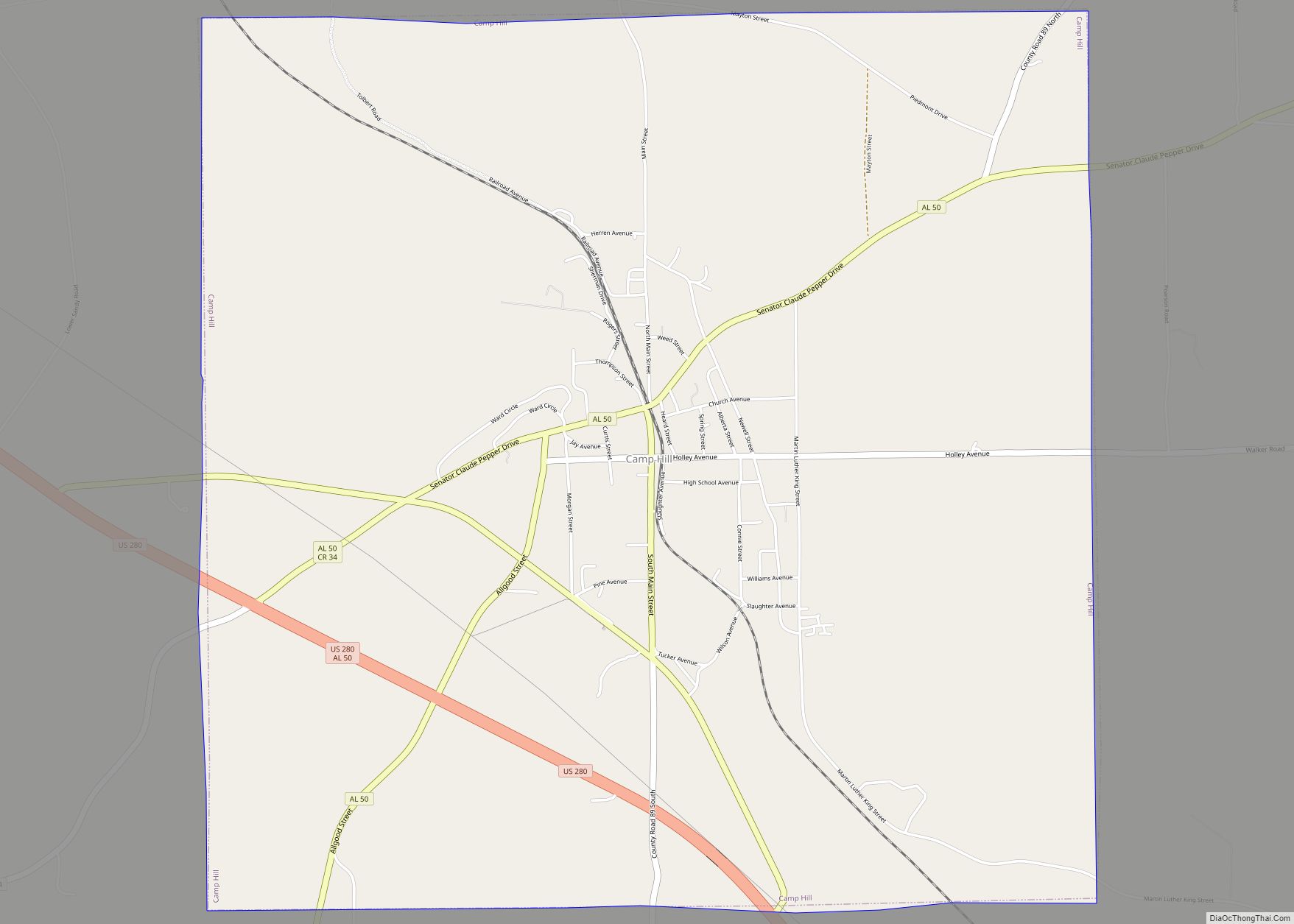
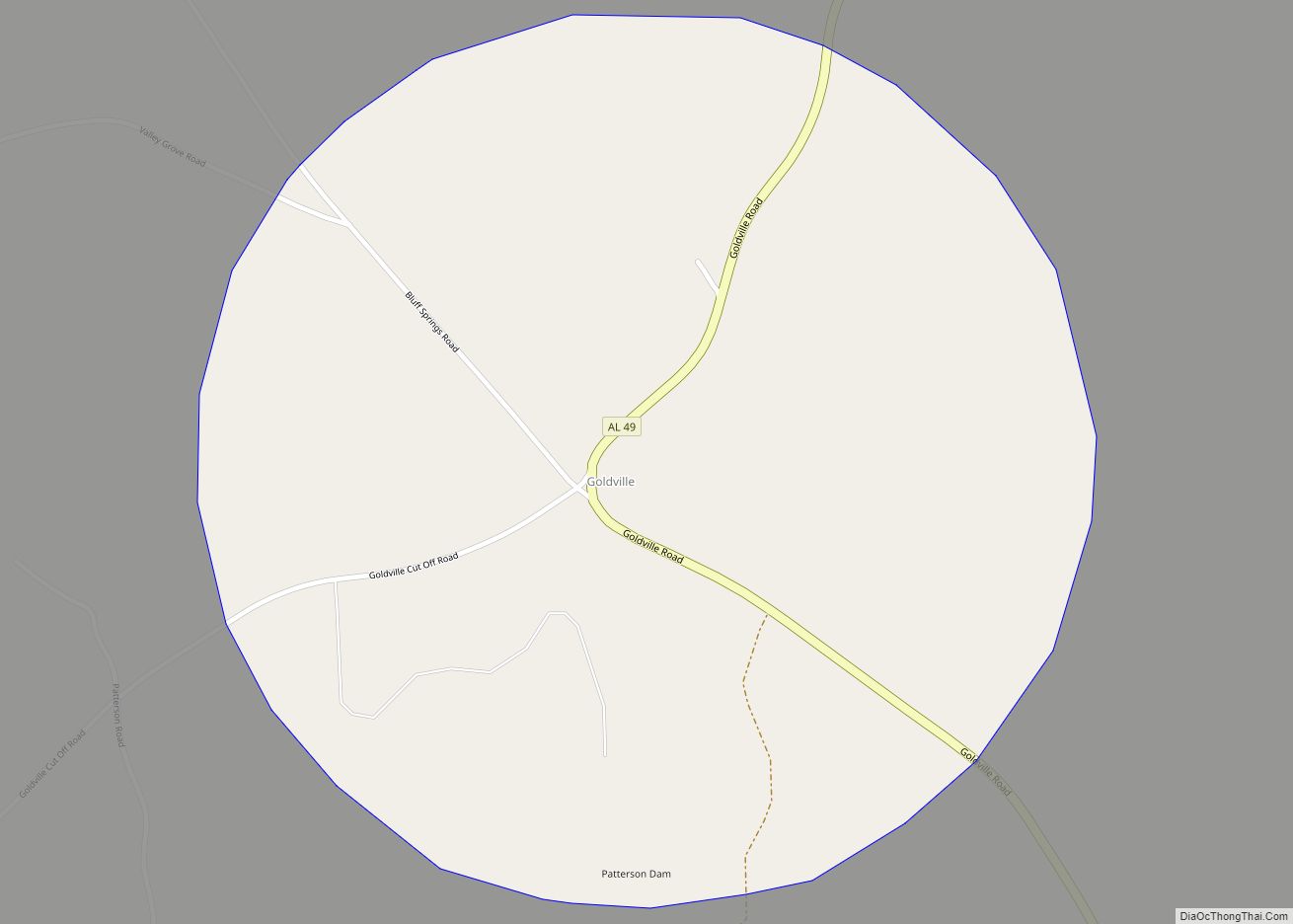
Goldville Road Map
Goldville city Satellite Map
Geography
Goldville is located at 33°5′1″N 85°47′4″W / 33.08361°N 85.78444°W / 33.08361; -85.78444 (33.083617, -85.784391).
According to the U.S. Census Bureau, the town has a total area of 1.0 square mile (2.6 km), of which 1.0 square mile (2.6 km) is land and 1.00% is water.
See also
Map of Alabama State and its subdivision:- Autauga
- Baldwin
- Barbour
- Bibb
- Blount
- Bullock
- Butler
- Calhoun
- Chambers
- Cherokee
- Chilton
- Choctaw
- Clarke
- Clay
- Cleburne
- Coffee
- Colbert
- Conecuh
- Coosa
- Covington
- Crenshaw
- Cullman
- Dale
- Dallas
- De Kalb
- Elmore
- Escambia
- Etowah
- Fayette
- Franklin
- Geneva
- Greene
- Hale
- Henry
- Houston
- Jackson
- Jefferson
- Lamar
- Lauderdale
- Lawrence
- Lee
- Limestone
- Lowndes
- Macon
- Madison
- Marengo
- Marion
- Marshall
- Mobile
- Monroe
- Montgomery
- Morgan
- Perry
- Pickens
- Pike
- Randolph
- Russell
- Saint Clair
- Shelby
- Sumter
- Talladega
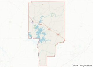
- Tallapoosa
- Tuscaloosa
- Walker
- Washington
- Wilcox
- Winston
- Alabama
- Alaska
- Arizona
- Arkansas
- California
- Colorado
- Connecticut
- Delaware
- District of Columbia
- Florida
- Georgia
- Hawaii
- Idaho
- Illinois
- Indiana
- Iowa
- Kansas
- Kentucky
- Louisiana
- Maine
- Maryland
- Massachusetts
- Michigan
- Minnesota
- Mississippi
- Missouri
- Montana
- Nebraska
- Nevada
- New Hampshire
- New Jersey
- New Mexico
- New York
- North Carolina
- North Dakota
- Ohio
- Oklahoma
- Oregon
- Pennsylvania
- Rhode Island
- South Carolina
- South Dakota
- Tennessee
- Texas
- Utah
- Vermont
- Virginia
- Washington
- West Virginia
- Wisconsin
- Wyoming

