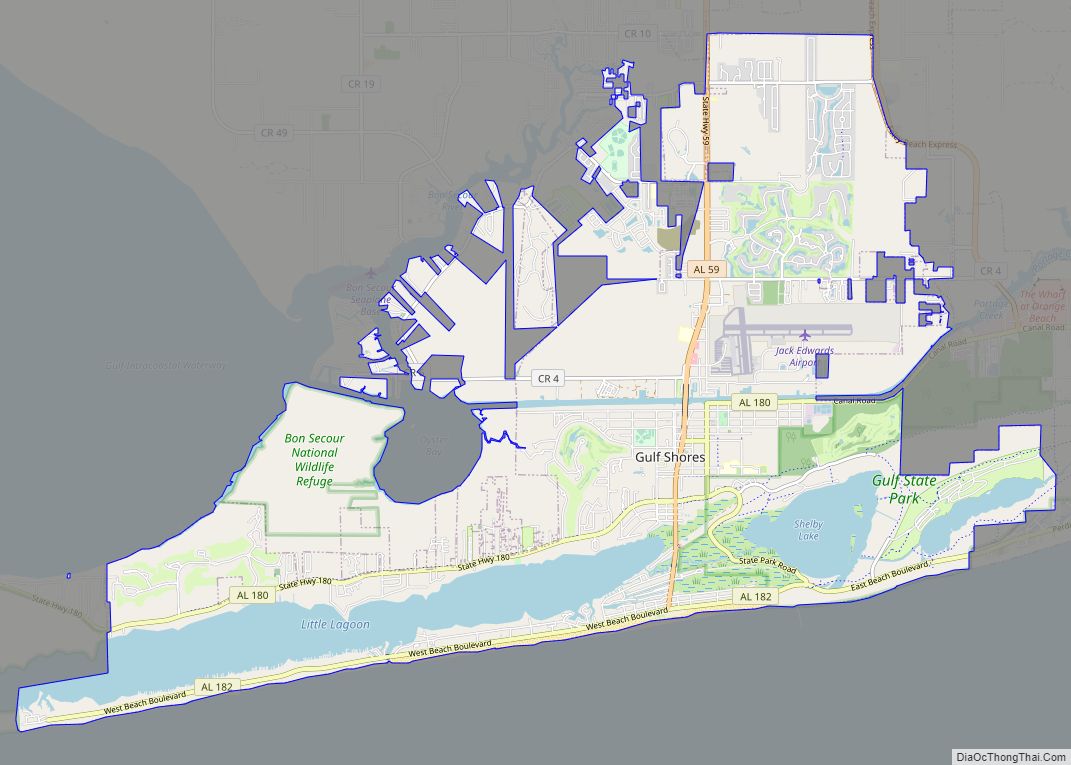
Gulf Shores is a resort city in Baldwin County, Alabama, United States. As of the 2010 Census, the population was 9,741.
| Name: | Gulf Shores city |
|---|---|
| LSAD Code: | 25 |
| LSAD Description: | city (suffix) |
| State: | Alabama |
| County: | Baldwin County |
| Elevation: | 7 ft (2 m) |
| Total Area: | 33.21 sq mi (86.01 km²) |
| Land Area: | 28.36 sq mi (73.46 km²) |
| Water Area: | 4.84 sq mi (12.55 km²) |
| Total Population: | 15,014 |
| Population Density: | 529.35/sq mi (204.38/km²) |
| Area code: | 251 |
| FIPS code: | 0132272 |
| GNISfeature ID: | 0119462 |
| Website: | www.gulfshoresal.gov |
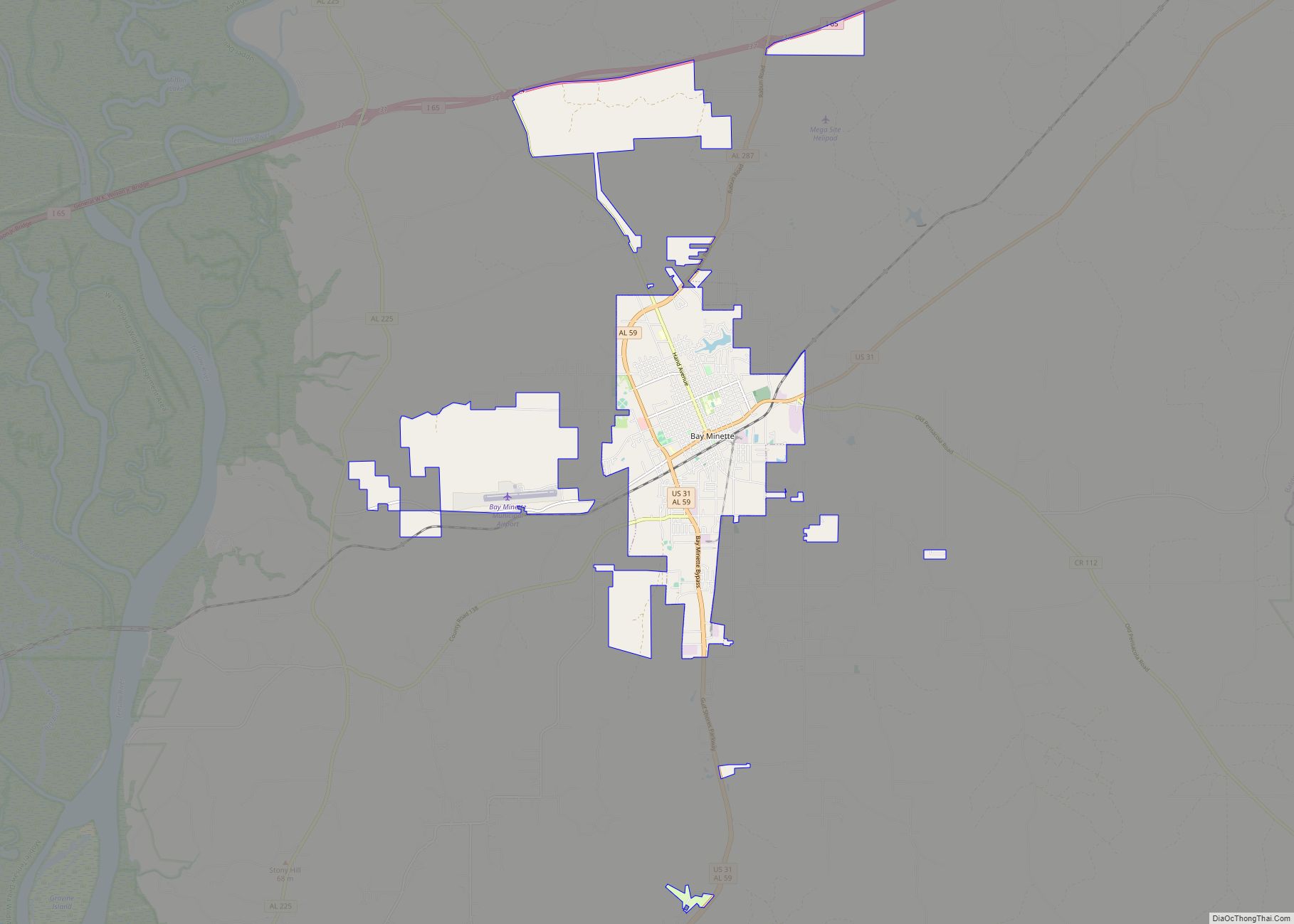
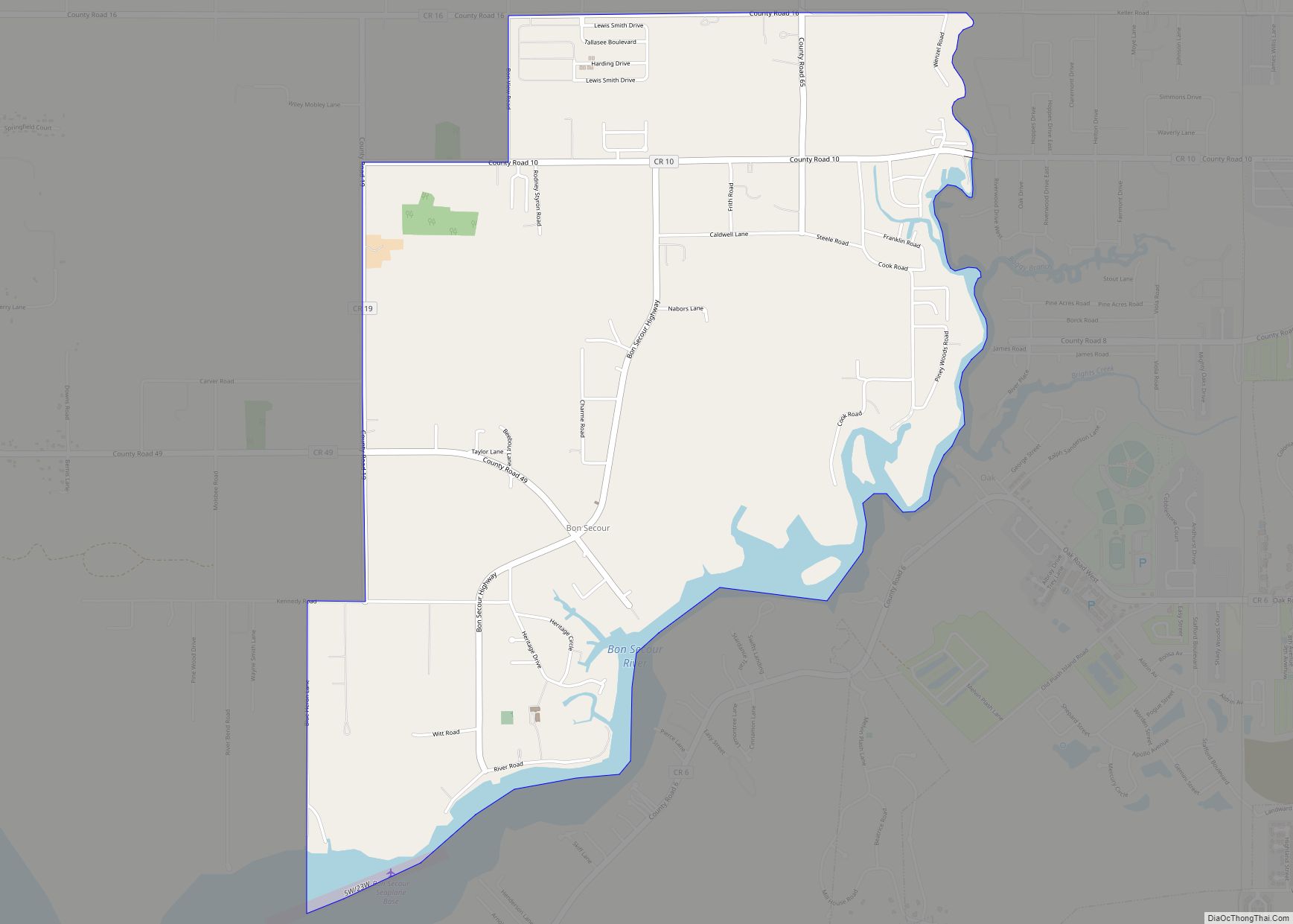
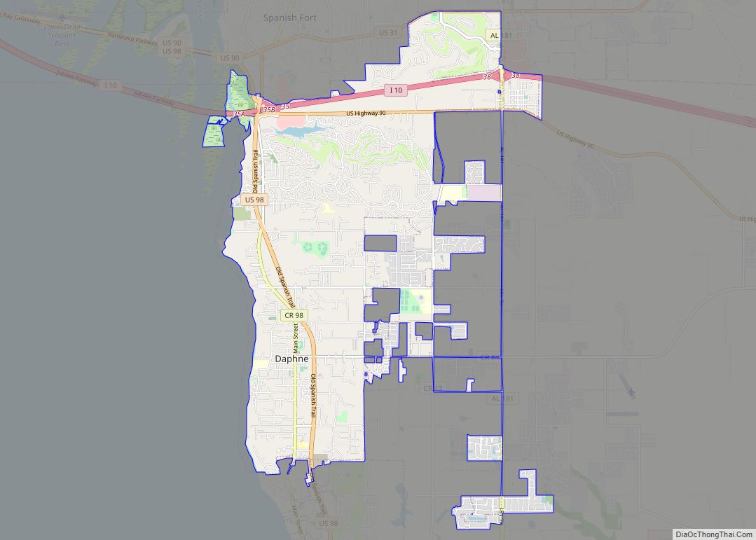
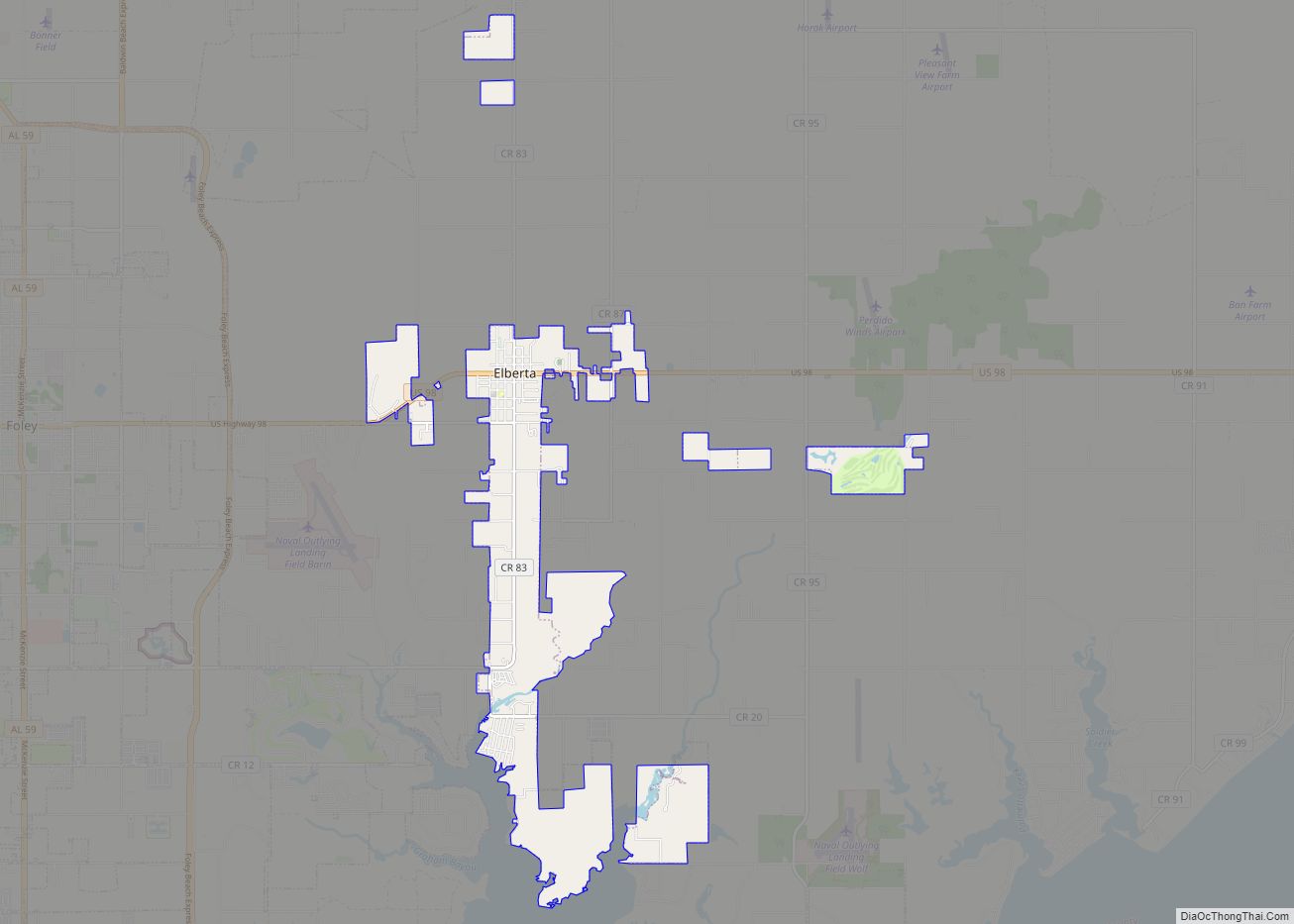
Online Interactive Map
Click on ![]() to view map in "full screen" mode.
to view map in "full screen" mode.
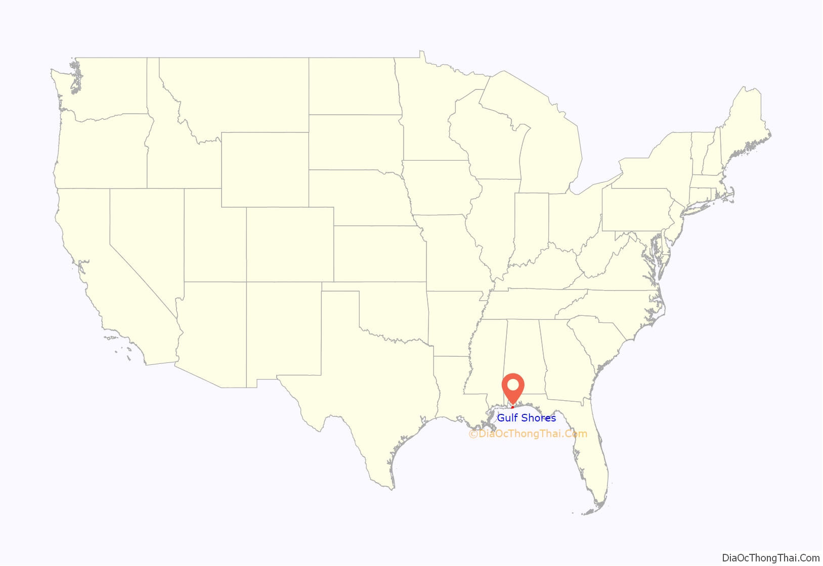
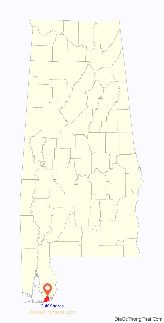
Gulf Shores location map. Where is Gulf Shores city?
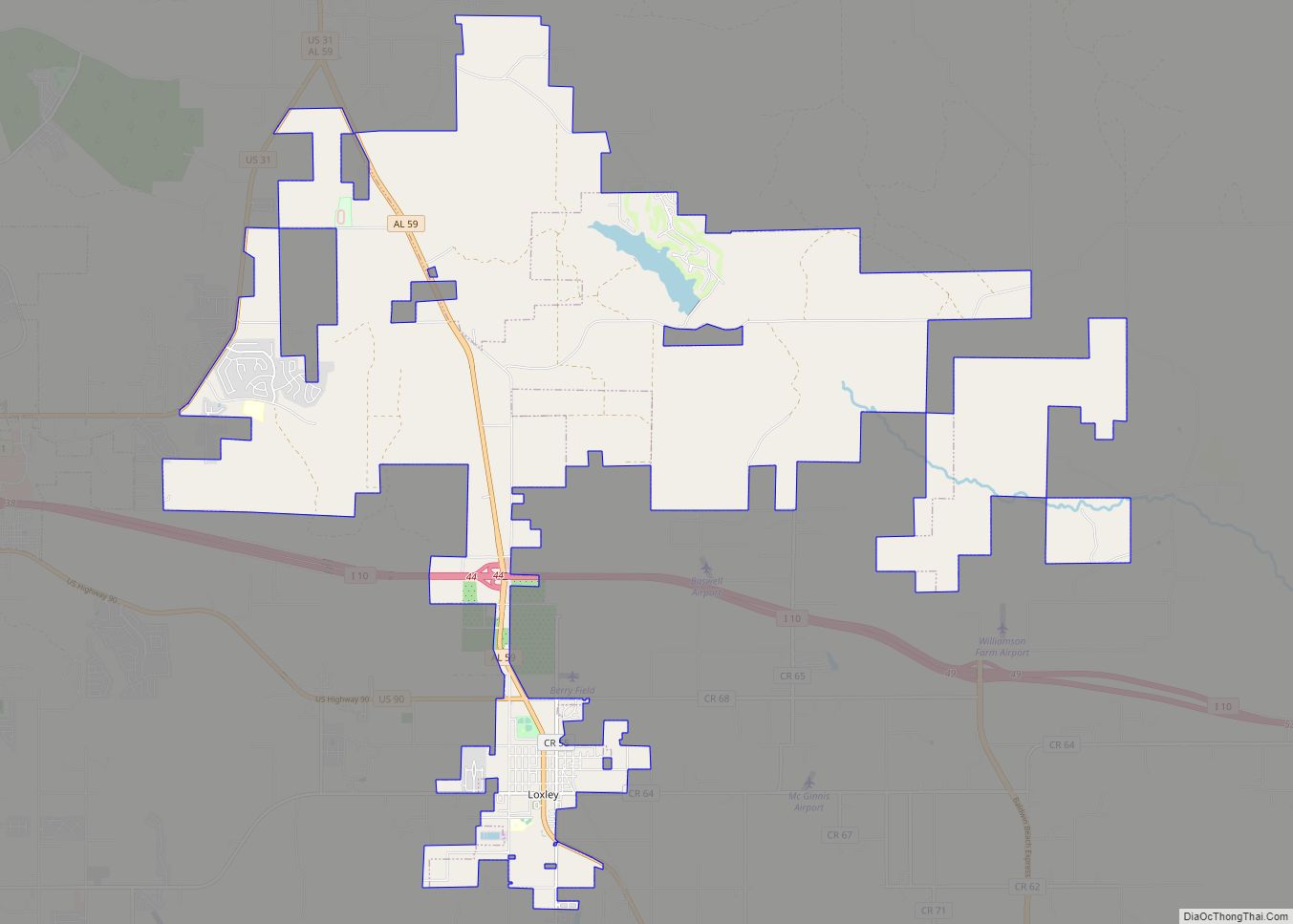
Gulf Shores Road Map
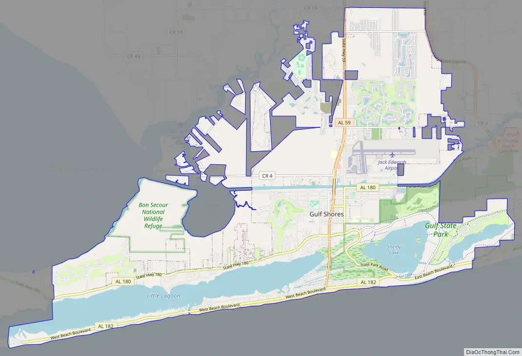
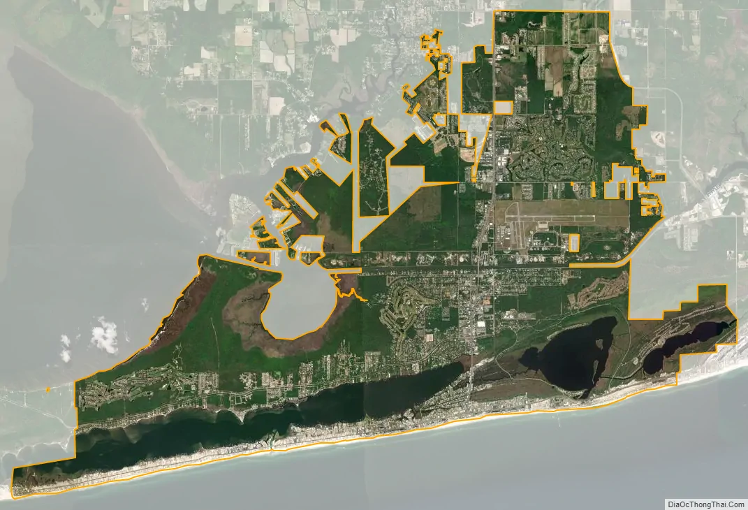
Gulf Shores city Satellite Map
Geography
Gulf Shores is located on the Gulf of Mexico, and is the southernmost settlement in the state of Alabama. It is served by Alabama State Route 59 (Gulf Shores Parkway), which leads north to Foley. Route 182 (Beach Boulevard) runs east-west along the shore front, while Route 180 (Fort Morgan Road) runs parallel to it, north of Little Lagoon. Gulf State Park occupies a large eastern part of the city.
According to the U.S. Census Bureau, the city has a total area of 28.0 square miles (72.5 km), of which 23.2 square miles (60.0 km) is land and 4.8 square miles (12.5 km), or 17.24%, is water.
Climate
Gulf Shores has a humid subtropical climate, with long, hot summers, and mild and sunny winters. With bright sunny summers and warm winters, Alabama Gulf Coast weather offers year-round opportunities for beach-going, fishing, and golfing. Winters are generally mild and residents can enjoy outside activities the majority of the time. Daily highs in winter are close to 60 °F (16 °C) and nighttime lows are near 40 °F (4 °C). Summers are hot, which makes for great beach weather and the sea breeze provides relief from the heat as well as humidity. Daytime highs in summer are near 90 °F (32 °C) and evening lows near 78 °F (26 °C). While the area enjoys a strong “snowbird” season from December to April, many locals say that May/June and October/November are the best months. Ocean surf temperatures are quite warm from May through November, often well into the low 80s.
As a result of being located on the northern coast of the Gulf of Mexico, Gulf Shores is vulnerable to tropical cyclones. In September 1979, Hurricane Frederic caused massive destruction, leveling most of the town. On September 16, 2004, Hurricane Ivan made landfall in Gulf Shores, causing extensive wind and flooding damage. In 2005, while the city was still cleaning up from Ivan, Hurricane Katrina caused extensive damage and flooding. The area was then struck again on September 16, 2020 when Hurricane Sally made landfall on the 16 year anniversary of Ivan, causing extensive damage and widespread flooding.
See also
Map of Alabama State and its subdivision:- Autauga
- Baldwin
- Barbour
- Bibb
- Blount
- Bullock
- Butler
- Calhoun
- Chambers
- Cherokee
- Chilton
- Choctaw
- Clarke
- Clay
- Cleburne
- Coffee
- Colbert
- Conecuh
- Coosa
- Covington
- Crenshaw
- Cullman
- Dale
- Dallas
- De Kalb
- Elmore
- Escambia
- Etowah
- Fayette
- Franklin
- Geneva
- Greene
- Hale
- Henry
- Houston
- Jackson
- Jefferson
- Lamar
- Lauderdale
- Lawrence
- Lee
- Limestone
- Lowndes
- Macon
- Madison
- Marengo
- Marion
- Marshall
- Mobile
- Monroe
- Montgomery
- Morgan
- Perry
- Pickens
- Pike
- Randolph
- Russell
- Saint Clair
- Shelby
- Sumter
- Talladega
- Tallapoosa
- Tuscaloosa
- Walker
- Washington
- Wilcox
- Winston
- Alabama
- Alaska
- Arizona
- Arkansas
- California
- Colorado
- Connecticut
- Delaware
- District of Columbia
- Florida
- Georgia
- Hawaii
- Idaho
- Illinois
- Indiana
- Iowa
- Kansas
- Kentucky
- Louisiana
- Maine
- Maryland
- Massachusetts
- Michigan
- Minnesota
- Mississippi
- Missouri
- Montana
- Nebraska
- Nevada
- New Hampshire
- New Jersey
- New Mexico
- New York
- North Carolina
- North Dakota
- Ohio
- Oklahoma
- Oregon
- Pennsylvania
- Rhode Island
- South Carolina
- South Dakota
- Tennessee
- Texas
- Utah
- Vermont
- Virginia
- Washington
- West Virginia
- Wisconsin
- Wyoming